Field Report: Using the Mavic 3T for Remote Coastline Work
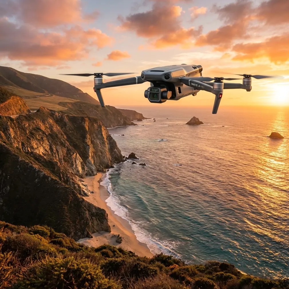
Field Report: Using the Mavic 3T for Remote Coastline Work Without Losing the Mission to Wind, Signal, or Setup Errors
META: Expert field report on using the Mavic 3T for remote coastline operations, with practical antenna positioning, thermal workflow insights, transmission discipline, and flight-control lessons drawn from real engineering reference data.
Remote coastline work exposes every weak habit a drone team has.
You notice it first in the link margin. Then in battery pacing. Then in image consistency when the wind shifts off the water and pushes the aircraft sideways across a cliff line. The Mavic 3T is often discussed as a compact thermal platform, but that undersells what matters in the field. On a real shoreline mission, especially far from roads or infrastructure, the aircraft is only one part of the system. The rest is discipline: transmission management, flight profile control, launch geometry, and how you build repeatable data capture when conditions are never truly stable.
I’ve been reviewing a set of engineering references that, while not written specifically for the Mavic 3T, point to something many operators overlook. Good aerial work is rarely limited by headline specs. It is limited by transition behavior. How the aircraft moves from launch to climb. How it reacts to control changes. How the operator switches mental modes when signal, terrain, and mission objectives begin competing for attention.
That is exactly why the Mavic 3T earns its place in remote coastal operations. Not because it is dramatic, but because it can be methodical.
Why coastlines are harder than they look
A remote shoreline seems visually simple from above: sand, rock, surf, vegetation edge, maybe a pier or sea wall. Operationally, it is messy. Salt haze softens visual contrast. Wet rock produces confusing thermal gradients. Strong reflection off water complicates screen visibility. Wind is rarely uniform; it spills over ridges, curls around outcrops, and accelerates through gaps.
For photogrammetry, that means overlap can degrade if your ground speed changes unpredictably. For thermal work, it means a hotspot or temperature edge can be real, transient, or just a function of sun angle and moisture retention. For pilots, it means range confidence can vanish quickly if antenna orientation is wrong or the aircraft descends behind terrain masking.
The Mavic 3T is well suited here because it lets one platform handle both thermal signature review and visible-spectrum site documentation. That saves vehicle payload swaps and reduces exposure time on harsh sites. If you are hiking into a coastal bluff to inspect erosion, monitor habitat boundaries, or document storm impact, fewer moving parts is not a convenience. It is risk control.
What the engineering references reveal about better Mavic 3T operations
One of the source documents includes control parameters such as a throttle time constant of 8.0 seconds, a maximum vertical acceleration value of 7.0 m/s/s, and landing-related multicopter limits including 1.5 m/s horizontal velocity and 0.7 m/s climb rate. On paper, these look like dry controller settings from another aircraft environment. In practice, they highlight a core lesson for Mavic 3T operators: smoothness is not cosmetic. It directly affects image quality, thermal readability, and safety margin in difficult air.
An 8.0-second throttle time constant is a reminder that aggressive power changes can destabilize the capture envelope. Along a coastline, abrupt climb or throttle inputs often create more problems than they solve. They can induce framing inconsistency during mapping lines, generate unwanted yaw correction, and increase the chance of overreacting when flying near cliffs or above foamy water with weak visual references. The operational significance is straightforward: if you want clean thermal scans and reliable photogrammetry, command the aircraft like a survey tool, not like a sport quad.
The same source lists a 20.0 deg/s maximum rotation and a 30.0-degree maximum pitch before throttle-powered launch behavior in a delayed motor phase. That matters during handoffs from setup to airborne capture. In rough shoreline terrain, many takeoff spots are awkward: uneven stone, scrub, narrow footpaths. Rushed launches from poor footing are where unstable starts begin. The reference point here is not to mimic those exact values on the Mavic 3T, but to understand the principle: launch attitude and early pitch behavior influence the entire mission chain. If the aircraft leaves the ground already fighting a bad start, your first minutes become correction work instead of data collection.
A second reference, from helicopter design literature, is even more useful conceptually. It emphasizes that when a control system shifts between modes, it should maintain an equal-power transition rather than producing a sudden jump. It also describes training logic that limits emergency power states so crews can practice without overstressing the machine. Again, different aircraft class, same operational truth. On a Mavic 3T mission, pilot workload spikes when you switch from visual framing to thermal interpretation, from manual repositioning to automated mapping, or from routine flight to signal recovery thinking. If those transitions are abrupt, error rates rise.
The operational significance for Mavic 3T users is this: build your mission around predictable transitions. Don’t jump straight from launch to long-range shoreline run. Don’t alternate aggressively between low-altitude structure inspection and high-altitude wide-area search without resetting your orientation, camera objective, and return path. Treat every change in flight mode or mission phase as something that should feel “equal power” in human terms: no surprises, no rushed stick inputs, no accidental overcommitment.
The Mavic 3T’s real strength on the coast: fused decision-making
The Mavic 3T is most effective when thermal and visual data are used together in the same decision loop.
If you’re documenting shoreline seepage, dune instability, roof heat loss in a coastal facility, or vegetation stress near salt intrusion zones, thermal signature alone can mislead. Water-retaining material often cools and warms at different rates than adjacent surfaces. A wet rock shelf at dawn can look significant until the visible camera shows tidal wash. Likewise, visible imagery may miss subtle subsurface moisture patterns that the thermal view catches immediately.
This is where the aircraft’s compact dual-sensor workflow matters more than raw airframe discussion. You can identify a thermal anomaly, cross-check it visually, and then decide whether that point deserves a tighter grid, a lower orbit, or a GCP-anchored mapping pass. That cuts wasted sorties. In remote areas, every avoided relaunch is valuable.
GCP use is especially relevant for coastal photogrammetry. Shorelines shift. Sand ridges move. Temporary debris fields appear after storms. If the deliverable needs comparison over time, relying on onboard positioning alone can leave too much uncertainty at the edges of your model. The Mavic 3T can collect the imagery efficiently, but the map only becomes defensible when your ground control strategy accounts for unstable surfaces and changing tide lines. In other words, the aircraft captures the evidence; your survey discipline makes it trustworthy.
Antenna positioning advice for maximum range
This is the habit that separates comfortable flights from stressful ones.
With the Mavic 3T using O3 transmission, many range problems blamed on “interference” are actually geometry problems. Operators often point the controller antennas straight at the drone as if they were aiming a flashlight. That is usually wrong. The stronger part of the radiation pattern is broadside to the antenna faces, not off the tip. For maximum range, keep the flat sides of the antennas oriented toward the aircraft’s path and avoid having the antenna ends point directly at it.
On a coastline, also think vertically, not just horizontally. If the drone drops below the lip of a bluff or passes behind a sea wall, the water may be open but the signal path is not. Saltwater itself can also create deceptive confidence because the scene feels unobstructed. The actual issue is terrain masking from your own launch position.
My field preference is simple:
- Stand high if possible, with direct line of sight over the intended route.
- Face your body toward the aircraft’s working sector rather than twisting at the waist every few seconds.
- Keep the controller stable at chest height instead of low at the abdomen.
- Reorient the antennas before the aircraft reaches the edge of your strongest link margin, not after the bars begin to fall.
- If you must work along a curved shoreline, reposition yourself in stages rather than stretching a single launch point too far.
That one adjustment often does more for usable range than any menu setting.
If your team is planning a difficult coastal survey and wants a second set of eyes on route design or antenna setup, send the mission outline here: https://wa.me/85255379740
Transmission security and practical confidence
AES-256 tends to get mentioned as a compliance bullet, but in remote infrastructure work it has practical value beyond checklists. Coastal sites are often tied to utilities, logistics points, marine facilities, conservation areas, or private industrial assets. The Mavic 3T’s encrypted transmission matters because you are not just sending pilot commands. You are often transmitting thermal observations and visual records of sensitive locations.
That said, security is never only encryption deep. Good field practice still matters: isolate your device environment, minimize unnecessary app clutter, confirm update status before travel, and avoid improvising settings changes at the edge of a cliff with wind pushing your attention around.
Battery strategy matters more than people admit
Hot-swap batteries are not part of the Mavic 3T in the same way they are discussed on larger enterprise platforms, but the concept still matters operationally: keep the aircraft moving through a repeatable battery rhythm with minimal cognitive reset between flights.
For remote coastlines, I recommend thinking in mission blocks rather than in single flights. One battery for wide reconnaissance. One for thermal confirmation. One for low-altitude visual detail or mapping completion. This prevents the classic failure mode where an operator tries to squeeze “just one more pass” from the same sortie because the site is hard to reach. Long hike missions create emotional pressure to overuse the final third of the battery. Resist it.
The references I reviewed reinforce this mindset indirectly. Limits like 1.5 m/s max horizontal velocity and 0.7 m/s max climb rate during landing-related behavior are reminders that end-of-flight phases should be conservative. The operational takeaway is that the aircraft should arrive back with enough energy for a calm, controlled finish even if wind near the launch point is stronger than it was at departure.
BVLOS thinking without sloppy BVLOS behavior
Many coastal teams talk about BVLOS because the terrain invites it. The shoreline bends, the drone follows, and suddenly the aircraft is beyond comfortable visual range. Regardless of local permissions and regulatory framework, the safer professional approach is to borrow BVLOS planning discipline even when conducting operations within line-of-sight constraints.
That means:
- define route segments before takeoff,
- identify signal shadow areas,
- know where the aircraft can safely climb to reestablish link,
- pre-brief return options if the primary landing point becomes unusable,
- and decide in advance which anomalies justify extending the mission.
This is where the helicopter reference about training is unexpectedly relevant. It describes training states that simulate high-demand scenarios without pushing the engine into true emergency power. For Mavic 3T crews, the equivalent is scenario rehearsal without mission overreach. Practice link degradation response, antenna reorientation, and low-contrast shoreline recovery in benign conditions first. Don’t wait until a remote cliff survey to discover how your team behaves under workload.
What I would prioritize on a real remote coastline mission
If I were deploying the Mavic 3T tomorrow for a remote shoreline capture package, my priorities would be brutally practical.
First, I would choose a launch point based on transmission geometry before camera composition. A beautiful overlook that blocks line of sight to the lower beach is the wrong place to stand.
Second, I would open with a short visual pass to read the wind and terrain flow. Not because the aircraft cannot handle the conditions, but because coastline wind rarely behaves as the forecast promised.
Third, I would use thermal deliberately, not continuously. Thermal is most valuable when aimed at a question: moisture escape, heat concentration, wildlife disturbance patterns in approved observation contexts, or structural irregularity. Passive browsing wastes battery and attention.
Fourth, I would anchor any repeatable mapping deliverable with GCP logic that respects the instability of coastal ground conditions.
Finally, I would preserve enough reserve to end every sortie calmly. Engineers understand this instinctively: systems fail at transitions. Most field losses do not happen in the middle of a stable run. They happen at launch, at return, during hurried repositioning, or when the operator tries to salvage one extra data point.
That is the deeper lesson hidden inside the source material. Numbers like 8.0 seconds, 7.0 m/s/s, 20.0 deg/s, and the emphasis on controlled mode switching are not trivia. They point to a philosophy of operation. The Mavic 3T performs best when the crew values managed transitions over flashy flying.
On remote coastlines, that mindset shows up in the final dataset. Cleaner overlaps. More believable thermal interpretation. Fewer signal scares. Better return margins. Less wasted walking. The aircraft does its part. The rest is professional restraint.
Ready for your own Mavic 3T? Contact our team for expert consultation.