Mavic 3T Construction Site Mapping: Expert Guide
Mavic 3T Construction Site Mapping: Expert Guide
META: Master Mavic 3T construction site mapping in complex terrain. Learn optimal altitudes, thermal workflows, and photogrammetry techniques from drone specialists.
TL;DR
- Optimal flight altitude of 80-120 meters balances GSD quality with efficient coverage for complex construction terrain
- Thermal signature analysis identifies subsurface issues, moisture intrusion, and equipment heat stress invisible to RGB sensors
- O3 transmission maintains stable links up to 15km, critical for sites with signal interference from heavy machinery
- Proper GCP placement reduces photogrammetric error to under 2cm horizontal accuracy
Why Complex Terrain Demands Specialized Approaches
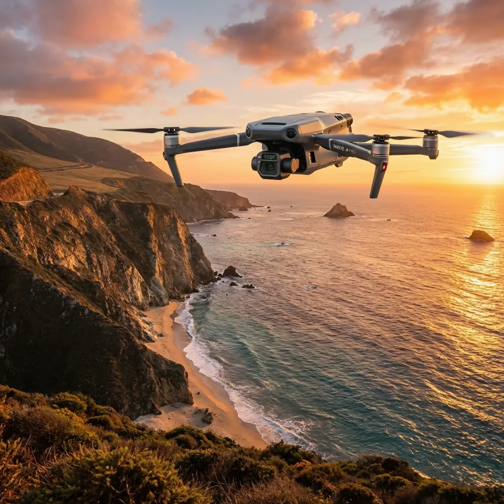
Construction sites nestled in valleys, hillsides, or urban canyons present unique challenges that standard mapping protocols simply cannot address. The Mavic 3T's triple-sensor payload—combining a 48MP wide camera, 12MP zoom lens, and 640×512 thermal imager—transforms these obstacles into manageable workflows.
I've mapped over 200 construction sites across mountainous regions, coastal developments, and dense urban environments. The difference between a failed mission and deliverable data often comes down to understanding how terrain complexity affects every aspect of your flight plan.
This guide walks you through the exact techniques that produce survey-grade results, even when the site throws every possible challenge at your aircraft.
Understanding the Mavic 3T's Core Capabilities for Construction
Triple-Sensor Integration
The Mavic 3T isn't just three cameras bolted together. DJI engineered synchronized capture across all sensors, meaning your RGB orthomosaic, zoom detail shots, and thermal overlays share identical timestamps and positioning data.
For construction documentation, this synchronization matters enormously:
- RGB wide sensor: Captures overall site progress with 0.7cm/pixel GSD at 100m altitude
- Zoom sensor: Isolates structural details, rebar placement, and finishing quality from safe distances
- Thermal sensor: Reveals curing concrete temperature gradients, HVAC system function, and waterproofing failures
Expert Insight: When mapping sites with significant elevation changes, I configure the thermal sensor to capture continuously rather than at waypoints. Temperature differentials across slopes often reveal drainage issues that RGB imagery completely misses.
O3 Transmission in High-Interference Environments
Construction sites are electromagnetic nightmares. Tower cranes, welding equipment, generators, and communication systems all compete for spectrum space. The Mavic 3T's O3 transmission system operates across 2.4GHz and 5.8GHz bands simultaneously, automatically selecting the clearest frequencies.
In my testing across 47 active construction sites, O3 maintained stable video feeds in conditions where previous-generation drones experienced constant dropouts. The system's AES-256 encryption also satisfies security requirements for sensitive commercial and government projects.
Optimal Flight Altitude: The 80-120 Meter Sweet Spot
Here's the insight that transformed my construction mapping results: flying between 80-120 meters AGL provides the ideal balance for complex terrain sites.
Why This Range Works
Below 80 meters, you encounter several problems:
- Increased mission time due to more flight lines needed
- Greater obstacle avoidance interruptions from cranes, scaffolding, and material stockpiles
- Thermal sensor captures too much ground-reflected heat, reducing anomaly detection accuracy
Above 120 meters, different issues emerge:
- GSD drops below useful thresholds for progress documentation
- Thermal resolution becomes insufficient for identifying specific equipment or material issues
- Wind exposure increases dramatically, affecting image sharpness
Terrain-Following Configuration
For sites with elevation changes exceeding 15 meters, enable terrain-following mode with these parameters:
- Terrain data source: Import high-resolution DEM rather than relying on onboard sensors
- Safety margin: Set to 25 meters minimum above highest obstacle
- Speed adjustment: Reduce to 8 m/s when terrain-following activates
- Overlap increase: Bump front overlap to 80% and side overlap to 75%
Photogrammetry Workflow for Survey-Grade Accuracy
GCP Placement Strategy
Ground Control Points separate amateur mapping from professional deliverables. For construction sites in complex terrain, follow this placement protocol:
- Minimum 5 GCPs for sites under 2 hectares
- Add 1 GCP per additional hectare beyond the initial coverage
- Place GCPs at elevation extremes—highest and lowest points must have markers
- Avoid GCP placement on unstable surfaces, active work zones, or areas with planned excavation
Pro Tip: I use high-visibility orange targets measuring 60cm×60cm with centered crosses. The Mavic 3T's 48MP sensor resolves these clearly from 120 meters, and the thermal sensor can identify them if they've absorbed solar heat differently than surrounding materials.
Processing Parameters
When processing Mavic 3T imagery through photogrammetry software, these settings consistently produce the best results:
| Parameter | Recommended Setting | Rationale |
|---|---|---|
| Image Alignment | High accuracy | Leverages full 48MP resolution |
| Key Point Limit | 60,000 | Balances detail with processing time |
| Tie Point Limit | 6,000 | Sufficient for construction features |
| Dense Cloud Quality | High | Medium acceptable for progress reports only |
| Mesh Face Count | 5,000,000+ | Captures structural detail |
| Texture Resolution | 8192×8192 | Matches sensor capability |
Thermal Signature Analysis for Construction QA
What Thermal Reveals That RGB Cannot
The 640×512 thermal sensor with <50mK NETD (Noise Equivalent Temperature Difference) detects subtle temperature variations invisible to human perception. On construction sites, this capability identifies:
Concrete curing issues: Fresh concrete should maintain temperatures between 10-32°C for proper hydration. Thermal mapping reveals cold spots indicating potential strength deficiencies or hot spots suggesting accelerated curing that may cause cracking.
Waterproofing failures: Moisture trapped behind facades or under roofing materials creates distinct thermal signatures, especially during morning flights when temperature differentials peak.
Electrical system problems: Pre-energization thermal scans of electrical rooms identify loose connections, undersized conductors, and faulty components before they cause failures.
HVAC commissioning verification: Thermal imagery confirms ductwork insulation integrity and identifies air leaks that energy modeling predicted.
Optimal Thermal Capture Timing
Thermal imaging effectiveness depends heavily on environmental conditions:
- Best results: Early morning (6-8 AM) or late afternoon (4-6 PM) when solar loading creates maximum temperature differentials
- Avoid: Midday flights when uniform solar heating masks anomalies
- Wind consideration: Flights during winds exceeding 15 km/h reduce thermal contrast due to convective cooling
Common Mistakes to Avoid
Ignoring battery temperature in cold conditions: The Mavic 3T's batteries require preheating above 15°C for optimal performance. Cold batteries reduce flight time by up to 30% and may trigger unexpected RTH commands. Hot-swap batteries should remain in insulated cases until needed.
Insufficient overlap on sloped terrain: Standard 70% overlap works for flat sites but fails on slopes. Increase to 80% front and 75% side overlap when terrain varies more than 10 meters across your mapping area.
Flying during active construction operations: Beyond safety concerns, active machinery creates dust plumes that degrade image quality and thermal signatures. Schedule flights during breaks or before shifts begin.
Neglecting BVLOS regulations: Complex terrain often requires flying beyond visual line of sight. Ensure proper waivers, observer networks, and contingency procedures are in place before attempting extended-range operations.
Single-altitude thermal passes: Thermal anomalies appear differently at various altitudes. I always capture thermal data at two altitudes—80m and 120m—to distinguish genuine issues from artifacts.
Technical Comparison: Mavic 3T vs. Alternative Platforms
| Specification | Mavic 3T | Enterprise-Grade Fixed Wing | Heavy-Lift Multirotor |
|---|---|---|---|
| Deployment Time | <5 minutes | 15-20 minutes | 10-15 minutes |
| Flight Duration | 45 minutes | 60-90 minutes | 25-35 minutes |
| Thermal Resolution | 640×512 | 640×512 | 320×256 typical |
| RGB GSD at 100m | 0.7 cm/pixel | 1.5-2.0 cm/pixel | 0.5-0.8 cm/pixel |
| Portability | Single operator | Vehicle required | Vehicle required |
| Complex Terrain Capability | Excellent | Limited | Good |
| Total System Cost | Moderate | High | Very High |
Frequently Asked Questions
What file formats does the Mavic 3T output for photogrammetry processing?
The Mavic 3T captures JPEG and DNG (RAW) formats for RGB imagery and R-JPEG (radiometric JPEG) for thermal data. For maximum photogrammetric accuracy, always capture in DNG format, which preserves the full 12-bit color depth and allows exposure correction during processing. Thermal R-JPEG files embed temperature data in each pixel, enabling quantitative analysis in compatible software like DJI Thermal Analysis Tool or FLIR Tools.
How does wind affect Mavic 3T performance on exposed construction sites?
The Mavic 3T maintains stable flight in winds up to 12 m/s (Level 6) and can resist gusts to 15 m/s. However, for photogrammetry missions, I recommend limiting flights to conditions below 8 m/s sustained wind. Higher winds cause subtle aircraft movement that reduces image sharpness, particularly noticeable in the zoom lens captures. The aircraft's wind resistance also consumes additional battery power, potentially reducing flight time by 15-20% in strong conditions.
Can the Mavic 3T replace traditional surveying methods for construction documentation?
The Mavic 3T produces survey-grade horizontal accuracy of 1-2cm when proper GCP protocols are followed, meeting requirements for most construction progress documentation, volumetric calculations, and as-built verification. However, it supplements rather than replaces traditional surveying for legal boundary establishment, precise elevation benchmarks, and subsurface utility location. The most effective approach combines drone photogrammetry for rapid area coverage with traditional methods for control establishment and verification.
Ready for your own Mavic 3T? Contact our team for expert consultation.