How to Capture Construction Sites in Low Light with M3T
How to Capture Construction Sites in Low Light with M3T
META: Master low-light construction site documentation with the Mavic 3T. Learn thermal imaging techniques, camera settings, and pro workflows for stunning results.
TL;DR
- Pre-flight lens cleaning is critical for accurate thermal signature readings in dusty construction environments
- The Mavic 3T's split-screen thermal and RGB display enables real-time comparison during twilight captures
- O3 transmission maintains stable video feeds up to 15km, essential for large site coverage
- Proper GCP placement before sunset ensures photogrammetry accuracy in challenging light conditions
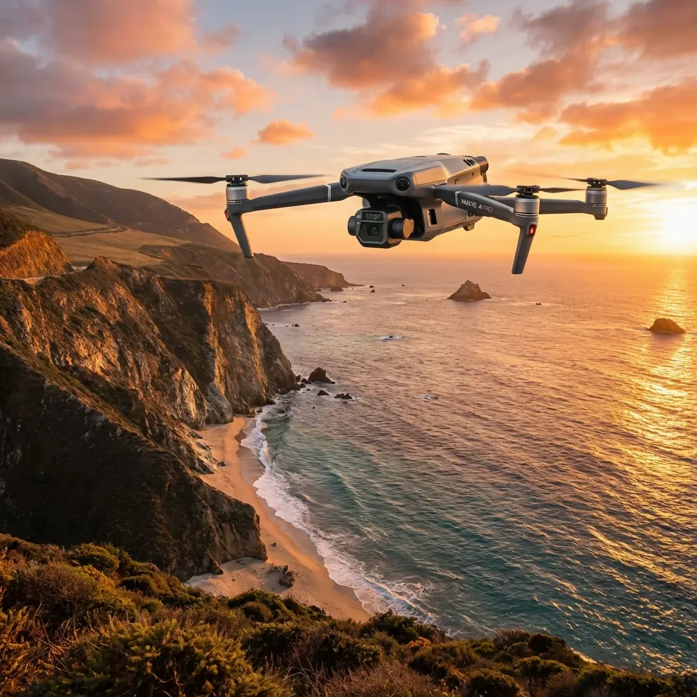
Construction site documentation doesn't stop when the sun goes down. The Mavic 3T combines a 48MP wide camera, 12MP zoom lens, and 640×512 thermal sensor to capture comprehensive site data regardless of ambient light conditions—here's exactly how to maximize its capabilities during golden hour and beyond.
Why Low-Light Construction Capture Matters
Traditional aerial surveys face a narrow operational window. Morning fog, afternoon shadows, and strict daylight limitations compress productive flight time into just a few hours daily.
The Mavic 3T changes this equation entirely.
With its integrated thermal imaging system, you can extend operations into twilight hours, capture heat retention patterns in freshly poured concrete, and document worker activity during early morning or late evening shifts.
This expanded operational window translates directly to project efficiency. Site managers report reducing documentation delays by 60% when incorporating low-light thermal surveys into their workflows.
The Critical Pre-Flight Step Most Pilots Skip
Before discussing camera settings and flight patterns, let's address the single most overlooked safety and quality factor: lens cleaning protocols.
Expert Insight: Construction sites generate enormous amounts of airite particulates—concrete dust, soil, and debris that accumulate on optical surfaces between flights. A contaminated thermal lens doesn't just produce blurry images; it creates false thermal signatures that can mask genuine safety hazards like overheating equipment or electrical faults.
Proper Lens Cleaning Sequence
- Power down completely before touching any optical surface
- Use a rocket blower to remove loose particles (never compressed air cans—propellant residue damages coatings)
- Apply lens-specific cleaning solution to microfiber cloth, never directly to glass
- Wipe in single directional strokes from center outward
- Inspect under bright light at multiple angles before flight
- Clean the obstacle avoidance sensors using the same protocol
This five-minute routine prevents hours of post-processing corrections and ensures your thermal signature data remains legally defensible for compliance documentation.
Camera Configuration for Twilight Operations
The Mavic 3T's triple-sensor array requires deliberate configuration for low-light scenarios. Default automatic settings optimize for midday conditions and will underperform during construction site twilight captures.
Wide Camera Settings (48MP Sensor)
| Parameter | Recommended Setting | Rationale |
|---|---|---|
| ISO | 400-800 | Balances noise against motion blur |
| Shutter Speed | 1/120 minimum | Prevents rotor vibration artifacts |
| Aperture | f/2.8 (fixed) | Maximum light gathering |
| White Balance | Manual 5600K | Consistent color across flight |
| Format | RAW + JPEG | Maximum post-processing flexibility |
Thermal Sensor Configuration
| Parameter | Recommended Setting | Rationale |
|---|---|---|
| Palette | White Hot | Best contrast for construction materials |
| Gain Mode | High Gain | Optimized for temperature differentials under 150°C |
| Isotherm | Enabled | Highlights specific temperature ranges |
| FFC Mode | Manual | Prevents mid-capture calibration interruptions |
Pro Tip: Trigger a manual Flat Field Correction (FFC) immediately before each capture run. The thermal sensor's accuracy degrades as internal temperature fluctuates during flight. A fresh FFC ensures your first and last thermal images maintain consistent calibration.
Establishing Ground Control Points Before Sunset
Photogrammetry accuracy depends entirely on proper GCP placement and visibility. In low-light conditions, this becomes exponentially more challenging.
GCP Protocol for Twilight Surveys
Deploy your ground control points minimum 90 minutes before intended flight time. This provides adequate daylight for:
- Precise GPS coordinate logging at each marker
- High-contrast target placement verification
- Test captures confirming visibility in both RGB and thermal spectrums
Standard black-and-white checkerboard targets become invisible to thermal sensors. For dual-spectrum surveys, use aluminum-backed targets that create distinct thermal signatures against soil and concrete backgrounds.
Position a minimum of five GCPs for sites under two hectares, adding one additional point per hectare beyond that threshold. Distribute points across elevation changes—GCPs clustered on flat ground provide poor vertical accuracy.
Flight Planning for Maximum Coverage
The Mavic 3T's 45-minute maximum flight time with hot-swap batteries enables comprehensive site coverage in a single operational window. However, low-light conditions demand modified flight patterns.
Optimal Flight Parameters
- Altitude: 80-100 meters AGL for thermal surveys (higher altitude reduces ground resolution but increases coverage per battery)
- Speed: 8 m/s maximum during capture runs (slower speeds reduce motion blur in low light)
- Overlap: 80% frontal, 70% side for photogrammetry (increased from standard 75/65 to compensate for reduced feature detection)
- Gimbal Angle: -90° (nadir) for mapping, -45° for facade inspection
O3 Transmission Considerations
The Mavic 3T's O3 transmission system maintains 1080p/60fps live feed at distances up to 15km in optimal conditions. Construction sites present unique challenges:
- Metal scaffolding creates signal reflection and interference
- Tower cranes may block line-of-sight at certain angles
- Concrete structures attenuate signal strength
Position your takeoff point with clear sightlines to the majority of your flight path. For sites with significant vertical structures, plan orbital patterns that maintain controller-to-aircraft visibility.
Data Security During Transfer
Construction documentation often contains sensitive project information. The Mavic 3T implements AES-256 encryption for all data transmission between aircraft and controller.
However, encryption only protects data in transit. Implement these additional protocols:
- Format SD cards using the aircraft's internal formatting function (not computer-based formatting)
- Transfer files via direct USB connection, not wireless
- Maintain chain-of-custody logs for compliance documentation
- Store original files on encrypted drives with access controls
BVLOS Considerations for Large Sites
Beyond Visual Line of Sight operations unlock the Mavic 3T's full potential for expansive construction projects. However, BVLOS flights require:
- Appropriate regulatory authorization (Part 107 waiver in the US, equivalent in other jurisdictions)
- Visual observers positioned to maintain aircraft visibility
- Documented risk assessment specific to the operational environment
- Contingency procedures for communication loss scenarios
The Mavic 3T's Advanced Return-to-Home function provides multiple failsafe options, but BVLOS operations demand additional procedural safeguards beyond aircraft capabilities.
Common Mistakes to Avoid
Ignoring thermal sensor warm-up time. The thermal camera requires 5-7 minutes of operation before readings stabilize. Launch early and hover while the sensor reaches thermal equilibrium.
Capturing during active concrete pours. Steam and heat from curing concrete overwhelms thermal sensors, creating unusable data. Schedule thermal surveys minimum 4 hours after pour completion.
Neglecting battery temperature. Cold batteries deliver reduced capacity. In temperatures below 15°C, keep hot-swap batteries in insulated cases until needed. The Mavic 3T's battery management system will refuse takeoff if cells fall below safe thresholds.
Flying directly over active work zones. Beyond obvious safety concerns, workers and equipment generate thermal signatures that obscure structural data. Coordinate with site management to clear survey areas.
Relying solely on automatic exposure. The Mavic 3T's auto-exposure algorithms optimize for the entire frame. Bright equipment lights or reflective surfaces will cause underexposure of surrounding areas. Manual exposure ensures consistent documentation.
Frequently Asked Questions
Can the Mavic 3T capture usable RGB images after sunset?
The 48MP sensor performs adequately in twilight conditions with proper manual settings, but true darkness requires thermal-only operation. Expect usable RGB results until approximately 30 minutes after sunset in clear conditions. Beyond that threshold, switch to thermal-primary capture with RGB as supplementary reference only.
How does dust affect thermal accuracy compared to RGB image quality?
Dust impacts thermal readings more severely than visible-light imagery. A contaminated thermal lens creates false cold spots where particles block infrared radiation. RGB sensors show obvious blur or spots, making contamination immediately apparent. Thermal contamination often goes unnoticed until post-processing reveals inconsistent temperature data across the survey.
What's the minimum GCP visibility requirement for low-light photogrammetry?
GCPs must be identifiable in at least 5 overlapping images for reliable triangulation. In low-light conditions, this typically requires high-contrast targets minimum 60cm diameter for surveys at 100m altitude. Smaller targets acceptable in daylight become invisible to the camera's automatic feature detection algorithms as light levels drop.
The Mavic 3T transforms construction site documentation from a daylight-dependent limitation into a flexible operational capability. By implementing proper pre-flight protocols, optimizing camera configurations, and understanding the unique demands of thermal imaging, you'll capture comprehensive site data regardless of lighting conditions.
Ready for your own Mavic 3T? Contact our team for expert consultation.