Mavic 3T on a Broken Grade: A Construction Site Case Study
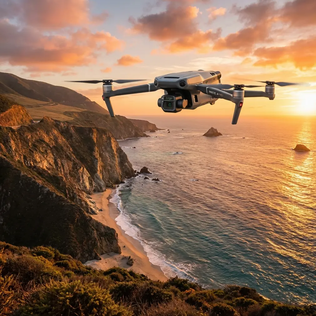
Mavic 3T on a Broken Grade: A Construction Site Case Study from Complex Terrain
META: A field-based Mavic 3T case study on capturing construction sites in complex terrain, covering thermal signature analysis, photogrammetry workflow, filtration-inspired risk thinking, and structural inspection discipline.
By Dr. Lisa Wang, Specialist
A construction site on flat ground is mostly a logistics problem. A construction site cut into slopes, rock shelves, haul roads, and drainage channels becomes a sensing problem.
That distinction matters for the Mavic 3T.
I recently worked through a documentation workflow for a hillside civil site where the brief sounded simple enough: track progress, verify drainage cuts, inspect stockpile boundaries, and capture temperature anomalies around temporary power and equipment staging. In practice, the terrain kept breaking line of sight, light changed every few minutes, and the crew needed data that could hold up in planning meetings rather than just look good on a screen.
The Mavic 3T proved useful not because it is “versatile” in the abstract, but because its payload and transmission stack let us build a layered record of the site. Wide-area visual context, thermal signature checks, and repeatable low-altitude inspection passes all worked together. On a project like this, that combination is more valuable than any single sensor headline.
The site problem: topography distorts what the eye thinks it sees
Construction managers often assume visual coverage alone is enough. In complex terrain, it rarely is.
A bench cut can appear complete from one angle but still hide erosion under the lip. A haul track can look compacted while retaining moisture pockets along the shaded inside edge. Temporary generator zones may seem normal in RGB imagery yet show uneven heat distribution that hints at load concentration or poor ventilation around enclosures.
That was the core reason for flying the Mavic 3T here. We were not trying to make a cinematic site map. We were trying to reduce uncertainty.
The workflow leaned on two complementary ideas:
- Photogrammetry for spatial truth
- Thermal signature review for operational exceptions
The first told us where things were and whether they were changing according to plan. The second helped reveal where conditions deserved a closer look.
Why the Mavic 3T fits this kind of terrain
On broken ground, transmission reliability is not a brochure detail. It is mission continuity.
The Mavic 3T’s O3 transmission architecture matters because ridgelines, cut faces, steel containers, and moving equipment all interfere with clean signal behavior. When you are capturing a site that drops away in sections, maintaining stable control and image feedback is what allows you to finish a grid, hold framing over a trench line, or safely reposition for an oblique inspection pass.
Security also matters more than many site teams admit. Construction imagery often reveals phasing, access patterns, subcontractor sequencing, utility corridors, and asset placement. AES-256 is not just a line item. It is part of a professional data handling posture when survey outputs, thermal captures, and progress documentation are moving between operators, project managers, and external stakeholders.
Then there is endurance. On a complex site, battery swaps are workflow events, not just power events. Hot-swap batteries reduce downtime between passes, which becomes especially important when lighting is consistent for only a short window or when you need to revisit a thermal target before conditions shift.
None of that replaces flight discipline. It simply means the aircraft is less likely to be the weak link.
A wildlife moment that changed the flight path
Mid-morning, during a low-altitude pass along a partially graded drainage corridor, the thermal view picked up a compact warm shape near scrub on the downhill edge. Switching perspective confirmed it was a small deer that had moved into cover just below the work zone.
This is where the sensor suite earns respect.
Without thermal awareness, an operator focused on terrain-following imagery could have pushed closer to the slope edge than necessary. Instead, we widened the turn, raised altitude, and adjusted the path to avoid stressing the animal while still completing the documentation objective. The site team appreciated it for obvious ethical reasons, but there was also a practical one: disturbed wildlife can create unpredictable movement around active machinery or temporary access routes.
That small incident said a lot about using the Mavic 3T on live civilian worksites. Thermal is not only for equipment checks. In mixed natural-industrial environments, it helps the crew understand what is present beyond what RGB framing immediately reveals.
Turning images into decisions: the photogrammetry layer
For construction documentation, photogrammetry only becomes useful when it is repeatable.
We set the mission around fixed GCP placement because steep ground and uneven elevation shifts can magnify positional drift if the capture plan is casual. GCP discipline gave the resulting model a stronger reference frame for comparing progress across separate visits. That matters when a superintendent wants to know whether a retaining cut truly moved, whether spoil volume shifted materially, or whether a drainage swale was excavated to intended geometry rather than just appearing cleaner from a new camera angle.
This is where many drone programs underperform. They collect imagery but not evidence-grade site history.
The Mavic 3T can support a high-value documentation cycle when flights are planned with overlap, terrain awareness, and control points in mind. The aircraft is not replacing survey practice. It is accelerating field visibility between formal survey events.
On this site, the model helped expose three issues the ground team had not fully appreciated:
- one inside haul curve holding water longer than adjacent segments
- a stockpile toe spreading beyond the marked edge
- incomplete shaping at a drainage outlet where shadow had hidden the grade transition in earlier visual checks
None of those findings came from one “hero shot.” They came from structured capture.
The thermal layer: what changed the conversation
The thermal signature review was less dramatic, but arguably more actionable.
We checked temporary electrical areas, mobile equipment staging, and a pump setup near a sediment control line. Not every temperature difference means a fault, of course. Construction sites are full of heat sources behaving exactly as expected. The point is to identify outliers worth a human follow-up.
That is why thermal should be treated like a screening tool, not an isolated verdict.
One generator housing showed a distinct asymmetry in heat concentration compared with prior captures. The maintenance team used that clue to inspect airflow and loading conditions. Another area around compacted fill appeared cooler and wetter than the surrounding surface late in the day, supporting the visual suspicion that moisture retention there was atypical.
This matters operationally because terrain-driven projects often fail quietly first. Water moves where sight lines are poor. Heat accumulates where temporary systems were never meant to be elegant. The Mavic 3T lets a project team revisit those frictions quickly.
Borrowing engineering discipline from outside drones
What impressed me in the provided technical references was not their direct relation to UAVs, but the engineering mindset behind them.
One hydraulic design reference emphasizes that system filters should be placed close to the pump outlet and that a non-bypass filter with a filtration ratio above 75 should protect the main pressure supply line. It also notes a general absolute filtration level of 5 μm, with clean-state pressure drop typically kept below 0.25 MPa. That is not drone marketing language. It is system protection logic.
Why does that matter for a Mavic 3T construction workflow?
Because the best field operations are designed the same way: protect the sensitive downstream components early. In practical UAV terms, that means verifying mission planning, signal conditions, weather limits, sensor cleanliness, and control points before collecting data that stakeholders will rely on. If contamination in a hydraulic system damages precision components, bad inputs in a drone mission damage trust in the outputs. The logic is identical even if the hardware is different.
The same reference also highlights return-line filtration with bypass protection because the dirtiest part of a system can create harmful pressure drop if ignored. On a construction site drone mission, the “dirty return line” equivalent is the handoff stage: rushed file naming, inconsistent GCP records, partial thermal annotation, or unlogged reflights. That is where otherwise good capture programs become unreliable.
A second reference, focused on fatigue and structural assessment, makes a subtler but equally useful point. It describes how model choice affects inferred crack-growth behavior and notes that when different analytical models are used, they must be “tuned” so the interpretation remains consistent. It also cites a 95% reliability requirement as a general benchmark in one determination step.
For drone site capture, the lesson is clear: if your photogrammetry workflow, thermal review method, and field notes are not aligned, the project team may be comparing outputs that look precise but are conceptually mismatched. A model built under one set of assumptions and interpreted under another can mislead just as easily as a poorly flown mission.
So when I recommend the Mavic 3T for complex terrain, I am not recommending gadget enthusiasm. I am recommending disciplined sensing supported by disciplined interpretation.
What worked best on this project
A few field practices made the difference.
1. Separate the mission types
We did not force one flight to do everything. Mapping passes served photogrammetry. Lower, more selective passes served thermal and visual inspection. That separation improved both datasets.
2. Use GCPs where the terrain can trick your model
Steep transitions and uneven benches can produce visually persuasive but unreliable geometry if the capture lacks strong control. GCPs turned the output into something the site team could compare over time.
3. Treat thermal as context-rich, not self-explanatory
A hot patch, cool patch, or uneven enclosure signature should prompt a question. It should not end the analysis.
4. Respect signal geography
O3 transmission is a real advantage, but the operator still has to think in terms of terrain shadow, obstruction, and safe repositioning. Good transmission technology expands options. It does not excuse poor route planning.
5. Build a repeatable battery rhythm
Hot-swap batteries helped us preserve pace between flights and stay within the same environmental window. Repeatability is often a timing problem as much as a piloting problem.
A note on BVLOS expectations
Many teams ask whether a large, irregular site automatically justifies BVLOS thinking. The honest answer is that the site geometry may create the desire for BVLOS efficiencies long before the operation is actually suited or approved for that mode. In complex terrain, visual and signal management become more—not less—important. The Mavic 3T gives operators strong tools for large-site work, but responsible deployment still begins with the actual operating framework, visibility constraints, and project risk profile.
The human factor on site
One reason this case stayed productive was that the drone outputs were discussed with foremen and site managers the same day. A model delivered a week later is useful. A model paired with immediate thermal observations and visual notes is much better.
If your team is building a Mavic 3T workflow for rugged construction environments and wants to compare flight planning, payload use, or data handling methods, you can message our field team here.
The point is not to fly more often. It is to fly with enough structure that each mission reduces ambiguity.
Where the Mavic 3T stands out for construction in difficult ground
After this project, my view is straightforward.
The Mavic 3T is especially effective when a site demands more than visual progress photos but less than a full-scale manned aerial program. It is strong in the middle ground where inspection, thermal screening, and terrain-sensitive documentation overlap. For construction teams dealing with benches, drainage cuts, temporary utilities, stockpiles, access roads, and environmental edge zones, that overlap is exactly where expensive blind spots tend to hide.
The drone did not make the site simpler. It made the site more legible.
That is the distinction that matters.
Ready for your own Mavic 3T? Contact our team for expert consultation.