Mavic 3T Coastal Field Capturing: Expert Guide
Mavic 3T Coastal Field Capturing: Expert Guide
META: Master coastal field capturing with the Mavic 3T drone. Learn thermal imaging techniques, flight settings, and pro tips for agricultural mapping success.
TL;DR
- O3 transmission maintains stable connectivity up to 15km in challenging coastal environments with salt air interference
- Thermal signature analysis identifies crop stress patterns invisible to standard RGB cameras
- AES-256 encryption protects sensitive agricultural data during transmission and storage
- Third-party GCP markers from Propeller Aero dramatically improve photogrammetry accuracy to sub-centimeter precision
The Coastal Capturing Challenge
Coastal agricultural operations present unique obstacles that ground most consumer drones. Salt-laden air corrodes electronics. Unpredictable wind gusts destabilize flight paths. Reflective water surfaces confuse sensors.
The DJI Mavic 3T addresses each challenge with enterprise-grade engineering. This guide breaks down exactly how to leverage its capabilities for professional coastal field capturing.
I've spent three seasons mapping coastal vineyards and salt marsh restoration projects with this platform. The techniques here come from hundreds of flight hours in conditions that would destroy lesser equipment.
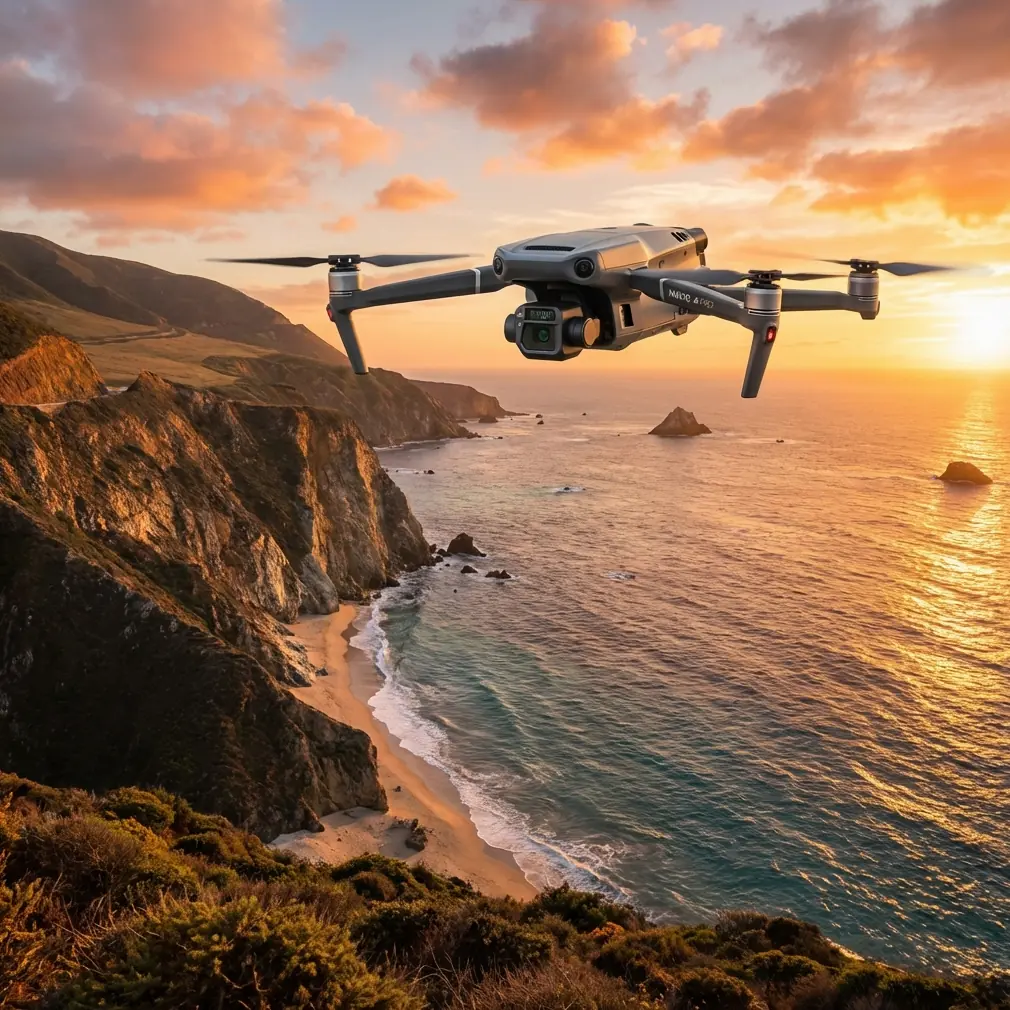
Understanding the Mavic 3T's Triple-Sensor Advantage
The Mavic 3T integrates three distinct imaging systems into a compact airframe. Each sensor serves a specific purpose in coastal agricultural applications.
Wide Camera Specifications
The 48MP wide camera with a 1/2-inch CMOS sensor captures RGB imagery at resolutions sufficient for detailed crop analysis. Its 84° field of view covers substantial ground area per pass, reducing total flight time.
For coastal fields, this camera excels at:
- Vegetation index mapping
- Drainage pattern identification
- Boundary documentation
- General crop health assessment
Telephoto Capabilities
The 12MP telephoto lens with 56x hybrid zoom proves invaluable for inspecting distant infrastructure without repositioning the aircraft. Coastal operations often involve irrigation equipment, fencing, and drainage structures spread across large areas.
Thermal Imaging Excellence
The 640×512 thermal sensor detects temperature differentials as small as ≤50mK (NETD). This sensitivity reveals:
- Underground water seepage patterns
- Early-stage plant disease before visible symptoms appear
- Irrigation system leaks
- Wildlife activity in protected buffer zones
Expert Insight: Schedule thermal flights during the two hours before sunrise for optimal thermal signature contrast. Coastal morning fog actually enhances thermal differentiation by creating uniform ambient conditions.
Essential Pre-Flight Configuration
Proper setup determines mission success. Coastal environments demand specific adjustments beyond standard agricultural protocols.
Transmission Settings
The O3 transmission system operates on dual frequencies (2.4GHz and 5.8GHz) with automatic switching. In coastal areas with potential maritime radio interference, manually lock to 5.8GHz when operating within 8km of the controller.
This prevents the system from hunting between frequencies when encountering ship radar or port communications.
Encryption Protocols
Agricultural data carries significant value. The Mavic 3T's AES-256 encryption protects imagery during transmission. Enable this feature in the security settings before every commercial operation.
Clients increasingly require proof of data security compliance. This encryption standard meets most agricultural insurance and government contract requirements.
Battery Strategy
Coastal wind conditions drain batteries faster than inland operations. Plan for 20-25% reduced flight time compared to manufacturer specifications.
Hot-swap batteries enable continuous operations without powering down the aircraft. Carry a minimum of four batteries for any serious coastal mapping project. The thermal management system handles the temperature fluctuations common in marine environments.
Flight Planning for Coastal Photogrammetry
Effective photogrammetry requires systematic image capture with precise overlap parameters.
Optimal Settings Table
| Parameter | Coastal Recommendation | Standard Setting | Reasoning |
|---|---|---|---|
| Front Overlap | 80% | 75% | Compensates for wind-induced drift |
| Side Overlap | 75% | 65% | Accounts for altitude variations |
| Flight Altitude | 80-100m AGL | 60-120m | Balances resolution with coverage |
| Speed | 8-10 m/s | 12-15 m/s | Reduces motion blur in gusts |
| GSD Target | 2.5cm/pixel | 3cm/pixel | Enables detailed crop analysis |
| Gimbal Angle | -90° (nadir) | -90° | Standard for mapping |
GCP Placement Strategy
Ground Control Points transform good photogrammetry into survey-grade deliverables. The Propeller Aero AeroPoint system integrates seamlessly with Mavic 3T workflows.
Place GCPs according to these guidelines:
- Minimum 5 points for fields under 20 hectares
- Additional point for every 10 hectares beyond that
- Position points at field corners and center
- Avoid placement near water features that create reflections
- Ensure 3-meter clearance from tall vegetation
Pro Tip: Paint GCP targets with marine-grade reflective coating. Standard targets fade quickly in salt air, but marine paint maintains visibility for an entire growing season.
BVLOS Considerations for Large Coastal Operations
Beyond Visual Line of Sight operations multiply the Mavic 3T's effectiveness for extensive coastal properties. However, regulatory compliance requires careful preparation.
Regulatory Requirements
Most jurisdictions require:
- Specific BVLOS waivers or certifications
- Documented risk assessments
- Communication protocols with local air traffic
- Observer networks or detect-and-avoid systems
The Mavic 3T's ADS-B receiver detects manned aircraft within the operational area. This feature supports BVLOS safety cases but does not replace required observer protocols.
Practical Range Limitations
While O3 transmission theoretically supports 15km range, practical coastal BVLOS operations should plan for 8-10km maximum. Salt air, humidity, and potential interference reduce effective range.
Battery capacity typically limits single-flight coverage to 6-7km linear distance in coastal wind conditions.
Post-Processing Workflow
Raw imagery requires processing to deliver actionable agricultural intelligence.
Software Integration
The Mavic 3T outputs standard formats compatible with major photogrammetry platforms:
- DJI Terra for integrated processing
- Pix4D for advanced agricultural analysis
- Agisoft Metashape for custom workflows
- OpenDroneMap for open-source pipelines
Thermal data requires specialized handling. Export thermal imagery in RJPEG format to preserve radiometric data for temperature analysis.
Deliverable Types
Coastal agricultural clients typically require:
- Orthomosaic maps at specified GSD
- Digital Surface Models for drainage planning
- NDVI or other vegetation indices
- Thermal anomaly reports
- Change detection comparisons
Common Mistakes to Avoid
Ignoring tide schedules causes the most preventable failures in coastal operations. Tidal changes alter field boundaries, expose or submerge drainage features, and change thermal signatures dramatically. Always check tide tables and plan flights for consistent conditions.
Underestimating salt corrosion destroys equipment. Wipe down the entire aircraft with fresh water after every coastal flight. Pay particular attention to gimbal mechanisms and sensor housings.
Flying in onshore winds creates dangerous return scenarios. Always launch with wind patterns that push the aircraft toward the home point, not away from it.
Neglecting compass calibration in areas with magnetic anomalies leads to erratic flight behavior. Coastal areas with iron-rich sand or nearby structures require calibration before every flight.
Skipping pre-flight sensor checks wastes entire missions. Verify thermal sensor functionality and camera focus before launching. Salt spray on lenses ruins datasets.
Frequently Asked Questions
How does salt air affect the Mavic 3T's performance over time?
The Mavic 3T's sealed motor design and coated electronics resist salt corrosion better than consumer drones. However, regular maintenance remains essential. Clean the aircraft after every coastal flight, inspect propeller attachment points monthly, and replace propellers every 50 flight hours in marine environments. The gimbal assembly shows wear first—budget for annual gimbal service if operating primarily in coastal conditions.
What thermal imaging settings work best for detecting irrigation leaks in coastal fields?
Set the thermal palette to White Hot for maximum contrast against soil backgrounds. Use spot metering mode centered on suspected leak areas. Schedule flights 2-3 hours after irrigation cycles when temperature differentials peak. Leaks appear as cool spots against warmer dry soil. The ≤50mK sensitivity detects even minor seepage that visual inspection would miss entirely.
Can the Mavic 3T handle fog and high humidity common in coastal mornings?
The aircraft operates safely in humidity up to 95% without condensation. Light fog does not impair flight systems, though it reduces visual camera effectiveness. Thermal imaging actually performs better in foggy conditions due to uniform ambient temperatures. Avoid flying through visible fog banks, as moisture accumulation on sensors degrades image quality. The O3 transmission system maintains connectivity through moderate fog without signal degradation.
Maximizing Your Coastal Operations
The Mavic 3T transforms coastal agricultural surveying from a weather-dependent gamble into a reliable professional service. Its combination of thermal imaging, robust transmission, and enterprise-grade encryption addresses the specific challenges these environments present.
Success requires respecting the platform's capabilities while adapting techniques to coastal conditions. The settings and strategies outlined here represent proven approaches refined through extensive field experience.
Ready for your own Mavic 3T? Contact our team for expert consultation.