Mavic 3T at High Altitude: A Practical Field Capture
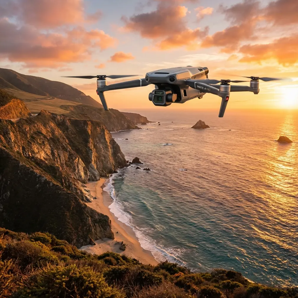
Mavic 3T at High Altitude: A Practical Field Capture Workflow That Starts Before Takeoff
META: Learn how to use the Mavic 3T for high-altitude field capture with a safer pre-flight routine, cleaner data collection, thermal context, and more reliable mission planning.
High-altitude field work exposes every weak point in a drone workflow. Thin air changes handling. Dust and dry crop residue find their way onto sensors. Long sightlines tempt operators to push farther than their data link, battery margin, or mapping plan really supports. With the Mavic 3T, that matters because this aircraft is often asked to do two jobs at once: collect interpretable thermal signatures and gather visual data that can support photogrammetry later.
I approach the Mavic 3T less like a gadget and more like a system that needs to be verified before each mission. That mindset comes from aircraft design practice, where automatic flight systems are not judged only by whether they work in ideal conditions, but by whether they recover predictably when something goes wrong at critical phases. One design reference in civil aviation verification breaks performance down across five flight phases—takeoff, climb, cruise, descent, and approach—and specifically emphasizes fault-response behavior during takeoff and go-around. That philosophy translates surprisingly well to high-altitude drone work in fields: don’t just ask whether the aircraft can fly the mission; ask how it behaves if visibility degrades, a lens gets contaminated, or the aircraft needs to abort and reposition.
For Mavic 3T operators, that changes the whole rhythm of a mission.
Why high-altitude field capture is different
When people say “high altitude,” they often mean two different things. Sometimes they mean flying above terrain features to cover large agricultural blocks. Other times they mean operating in elevated geography where the launch site itself sits high above sea level. Both conditions affect capture quality.
At elevation, air density drops. The aircraft may still hold position well, but propulsion margins and battery behavior deserve tighter attention. Over broad fields, the challenge shifts to consistency. If your thermal imagery is intended to reveal irrigation irregularities, crop stress, drainage issues, or equipment heat patterns, then consistency in angle, speed, overlap, and sensor cleanliness matters more than heroic range.
This is where the Mavic 3T earns its place. It combines visible imaging, thermal observation, and a transmission system built for serious commercial work. O3 transmission helps maintain control and video confidence over open terrain, while AES-256 encryption matters when the imagery itself is sensitive—especially for commercial farms, private estates, industrial agricultural assets, or managed land where operational data should not be casually exposed. Neither feature improves agronomic interpretation on its own, but both reduce the friction that often causes bad field decisions: uncertain link quality and poor data governance.
The pre-flight cleaning step most operators rush
Before I plan waypoints, I clean.
Not casually. Deliberately.
For the Mavic 3T, a proper pre-flight cleaning step is one of the easiest ways to protect both safety functions and data quality in high-altitude field capture. Dust on obstacle sensing elements, smears on the visual camera, or residue on the thermal window can create subtle errors that operators don’t catch until after landing. In broad, repetitive agricultural scenes, those errors can hide in plain sight.
My sequence is simple:
- Inspect the airframe for dirt packed around arms, vents, and landing surfaces.
- Clean the visual lens and thermal window with the correct optical method.
- Check obstacle sensing surfaces for haze, fingerprints, or fine dust.
- Confirm gimbal freedom of movement.
- Review battery contacts and seating.
- Power on and verify that the aircraft’s status feedback matches the physical condition you just inspected.
That sounds basic, but there is a deeper reason. Civil aircraft autopilot verification guidance does not stop at “function and installation”; it also examines how systems behave when faults appear and whether responses stay within limits. One source excerpt references fault insertion at critical points and measuring the resulting altitude loss. For drone operators, the equivalent lesson is this: if a sensor-dependent system is degraded before takeoff, the problem may only show itself when the mission becomes demanding. In a field bordered by uneven terrain or trees, you do not want to discover that sensing performance is compromised during a low-margin return leg.
A few minutes of cleaning is not housekeeping. It is system validation.
Build the mission around recovery, not just coverage
Field mapping plans often begin with area size, overlap, and battery count. Useful, but incomplete.
A better starting point is recovery logic. Where will you abort if wind rises? What route gives the aircraft the simplest return path? Which part of the field should be captured first if the atmosphere is changing? The old manned-aircraft verification framework is helpful here because it looks at the entire flight envelope rather than a single successful segment. The reference material explicitly treats takeoff, climb, cruise, descent, and approach as distinct performance situations. That matters for the Mavic 3T because the data mission might be stable during the middle third and still fail operationally if departure or recovery is messy.
In practice, I suggest this order for high-altitude field jobs:
- Capture the most time-sensitive thermal area first.
- Fly the furthest practical block early, while batteries are freshest and winds are often calmer.
- Save lower-priority visual detail passes for later sorties.
- Keep at least one simple contingency route that avoids terrain clutter and minimizes abrupt power demand.
If you are collecting thermal signatures over irrigation lines or stressed crop rows, timing can be more valuable than total acreage per launch. Thermal contrast can flatten fast as conditions change. A partially completed but consistent thermal set is often more useful than an ambitious mission with uneven environmental conditions.
Photogrammetry at altitude: accuracy is won before processing
The Mavic 3T is not just a thermal tool. In many workflows, it also contributes visible imagery that supports orthomosaics, site context, or repeatable comparison over time. High-altitude field capture creates an illusion that photogrammetry will be easy because the landscape is open and unobstructed. In reality, agricultural scenes can be difficult. Repetitive textures, moving vegetation, and low-contrast surfaces can weaken reconstruction.
This is where discipline matters more than software.
Use GCPs when positional confidence matters. Keep the capture geometry repeatable from mission to mission. Avoid changing altitude, speed, or camera angle mid-grid unless you have a specific reason. If your intent is to compare canopy conditions or drainage patterns over time, consistency beats improvisation.
There is a useful engineering parallel in the structural optimization reference. It describes iterative search methods, including a parabolic approach and a direction-based step-length method where successful moves lead to larger future step sizes and failed moves trigger smaller or reversed steps. That may sound distant from drone field capture, but the operational meaning is direct: optimize your mission in small, testable increments. If a chosen altitude, overlap, or route works, extend it. If it introduces blur, weak tie points, or poor thermal interpretation, reduce the step and try again. Good drone operations borrow from optimization logic all the time, even when pilots do not describe it that way.
For Mavic 3T users capturing large fields at altitude, that means you should not redesign your entire mission profile on the day of a critical survey. Adjust one variable at a time. Validate. Then scale.
Thermal work: don’t chase pretty images
One of the biggest mistakes I see is treating the thermal feed as if its purpose were dramatic contrast. It is not. The value of the Mavic 3T in field work comes from interpretable patterns.
At high altitude, thermal imagery can help reveal:
- irrigation inconsistencies,
- blocked or leaking lines,
- heat retention differences in soil zones,
- equipment hotspots around pumps or utility infrastructure,
- drainage paths after moisture events,
- stress variation across blocks.
But these observations only become actionable if they are captured consistently enough to compare one pass against another. A thermal signature is not just a color patch. It is a temperature-related clue shaped by timing, angle, wind, surface properties, and altitude.
That is another reason the pre-flight cleaning step matters. A contaminated thermal window does not merely reduce image beauty; it can distort the usefulness of temperature interpretation across the mission.
Transmission and link confidence over broad fields
Long, open agricultural corridors can make operators overconfident. They can see forever, so they assume control margin is equally strong. That is not always true.
O3 transmission is a practical asset on the Mavic 3T because it supports a more stable operational picture over large fields, especially where the launch point and aircraft may be separated by terrain undulations, tree belts, or farm structures. Stable transmission improves more than pilot comfort. It helps preserve mission discipline. Operators who trust their link are less likely to break grid logic, rush turns, or overcorrect framing.
If your organization handles field data as part of consulting, crop management, engineering, or asset documentation, AES-256 encryption also deserves more attention than it usually gets. Agricultural and land-management imagery can reveal infrastructure layouts, yield-related patterns, water strategy, and private operational details. Security is not a luxury feature in that context. It is part of professional handling.
Batteries, swaps, and sortie design
High-altitude field capture is rarely a one-battery task. Even if the total area is modest, thermal timing, repeat passes, and cross-check imagery can stretch the day.
This is where sortie design matters more than raw endurance. If your kit supports hot-swap batteries in the broader workflow sense—keeping replacement packs staged, tracked, and ready so the aircraft returns to work with minimal interruption—you preserve environmental consistency between flights. That is especially useful when thermal comparison is part of the mission.
The trap is pushing one battery too far in order to finish a block neatly. Don’t. A clean break between sorties is better than a stressed final leg with reduced reserve. The civil-aircraft design references repeatedly emphasize behavior in critical phases and under fault conditions. For drone field work, battery reserve is one of your clearest tools for staying out of those conditions.
A practical high-altitude Mavic 3T mission template
Here is the workflow I recommend for field capture:
1. Site assessment
Walk the launch area. Check dust, loose residue, slope, obstacles, and likely return routes. Identify where direct sun, haze, or reflected heat may affect interpretation.
2. Cleaning and sensor verification
Clean the visual lens, thermal window, and sensing surfaces. Confirm gimbal movement and aircraft status before launch.
3. Mission segmentation
Break the field into thermal-priority and visual-priority zones. Fly the most temperature-sensitive area first.
4. Conservative first sortie
Use a validated altitude and overlap profile. Do not experiment with multiple variables at once.
5. Review on landing
Check not only image sharpness, but pattern consistency. Ask whether the thermal signatures are interpretable, not merely visible.
6. Incremental optimization
Borrowing from the logic of direct-search optimization, increase coverage only when the previous adjustment was successful. If quality drops, reverse and reduce the step.
7. Secure handling and transfer
Preserve the chain of custody for field imagery, especially if the dataset includes private infrastructure or commercial land-use information.
If your team is refining a field workflow and wants a second set of eyes on mission structure, battery planning, or sensor preparation, you can message a Mavic 3T specialist here.
Where BVLOS thinking helps, even when you are not flying BVLOS
BVLOS is often discussed as a regulatory or operational category, but there is a useful planning lesson inside it for ordinary field missions too. BVLOS-grade thinking forces you to value route clarity, communication reliability, contingency design, and predictable aircraft behavior. Even if your operation remains within standard visual limits, using that mindset improves field capture discipline.
On the Mavic 3T, that means:
- planning communication and return logic before launch,
- reducing unnecessary maneuvers,
- keeping data capture repeatable,
- treating each sortie as part of a system, not a one-off flight.
That systems view is what separates usable field intelligence from a folder full of disconnected images.
The real advantage of the Mavic 3T in high-altitude field work
The Mavic 3T is not special because it can simply reach a field and film it. Many aircraft can do that. Its real value appears when one platform can support thermal observation, visible capture, secure data handling, and stable transmission in a workflow disciplined enough to survive real conditions.
That discipline starts with one unglamorous habit: clean and verify before every flight.
Then build the mission the way good aircraft systems are evaluated—across phases, with recovery in mind, and with respect for what happens when conditions are less than perfect. The engineering references behind that mindset may come from larger civil aircraft and structural optimization methods, but the operational lesson fits the Mavic 3T perfectly. Verify function. Watch fault tolerance. Improve in measured steps.
That is how you get field data you can trust.
Ready for your own Mavic 3T? Contact our team for expert consultation.