Mavic 3T Field Report: Capturing Urban Forests Without
Mavic 3T Field Report: Capturing Urban Forests Without Losing Detail, Control, or Context
META: Expert field report on using the DJI Mavic 3T for urban forest mapping, thermal inspection, and low-risk data capture with practical tips for transmission, batteries, GCPs, and accessories.
Urban forests are messy in the best possible way. They sit between streets, rooftops, rail corridors, drainage lines, school grounds, and utility easements. From the air, that mix creates a difficult assignment for any aircraft and an even harder one for the pilot and data team. Dense canopy hides ground features. Heat from nearby buildings contaminates thermal readings. Tight takeoff zones force compromises. And if your client wants both visual records and thermal interpretation from a single sortie, the pressure on workflow goes up quickly.
That is exactly where the Mavic 3T earns its place.
I have used larger enterprise platforms for vegetation work, but in urban forest operations the Mavic 3T often makes more sense because it reduces friction. You can get airborne quickly, work from constrained launch points, and still collect material that is useful for inspection, documentation, and planning. Not perfect for every mission. Very capable for the right one. Especially when the goal is to capture trees in built-up environments where access and safety matter as much as image quality.
This field report focuses on that reality: using the Mavic 3T to document urban forests with enough rigor for operational decisions, not just attractive footage.
Why the Mavic 3T fits urban forest work
The first thing that matters in urban forestry is not sensor size or spec-sheet bragging rights. It is whether you can consistently get clean, repeatable data in a cluttered environment.
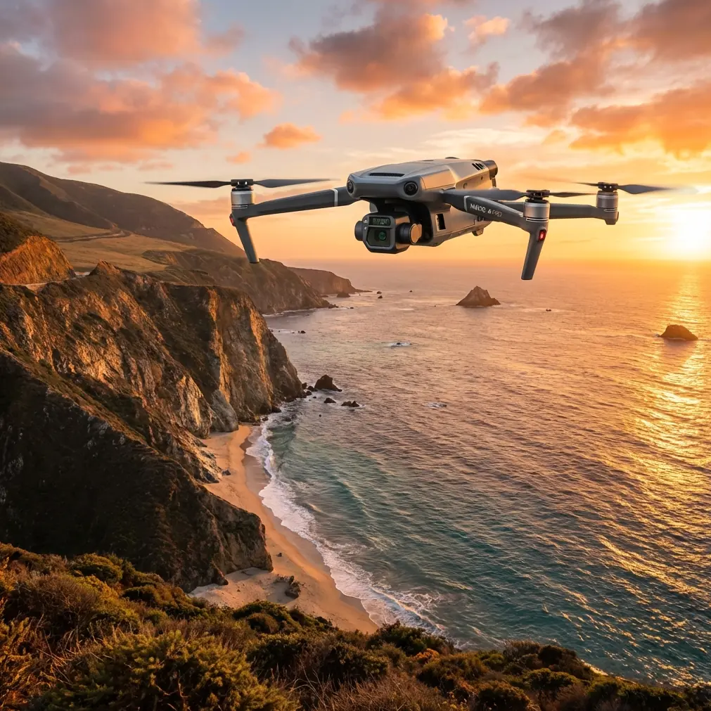
The Mavic 3T has a practical combination that suits this job well. It gives you a visual camera for context and detail, plus a thermal payload for identifying anomalies that are easy to miss in RGB alone. That pairing changes the value of a flight. Instead of only showing canopy spread or branch architecture, you can start comparing visible condition against thermal signature patterns that may point to water stress, root-zone disruption, irrigation leaks nearby, or heat influence from adjacent infrastructure.
That does not mean thermal replaces arborist judgment. It does not. But it can help you narrow attention much faster across large pockets of trees surrounded by roads and buildings.
Operationally, the Mavic 3T also benefits from O3 transmission. In urban environments, signal stability is rarely a trivial matter. Structures, reflective glass, radio noise, and awkward line-of-sight angles can all chip away at confidence. A strong transmission link matters because it lets the pilot maintain cleaner situational awareness while repositioning around canopy edges and built obstacles. When you are inspecting tree crowns next to apartments or tracing a green corridor behind warehouses, reliable video downlink is not a luxury feature. It is part of safe decision-making.
Security is another point that gets overlooked until a municipality, contractor, or infrastructure client asks the right questions. The Mavic 3T platform’s AES-256 capability is relevant when you are collecting imagery over sensitive urban sites such as schools, transport corridors, utility property, or mixed public-private land. For many teams, data assurance is not a marketing detail. It is an approval issue.
The real challenge: urban forests distort thermal logic
Forests in rural environments behave one way. Urban forests behave another.
A stand of trees beside asphalt parking lots, HVAC exhausts, sun-heated walls, and underground services creates a complicated thermal scene. By midday, thermal images can become crowded with false cues. A stressed tree and a tree simply reflecting nearby environmental heat may not present the same operational priority, yet both can draw attention if the pilot captures data at the wrong time.
With the Mavic 3T, timing becomes as important as altitude. Early morning flights usually produce cleaner thermal separation before pavement, facades, and rooftops build up their own heat signatures. That is where the aircraft’s thermal sensor becomes genuinely useful for comparative work across canopy clusters. You are not looking for a magic diagnosis. You are looking for patterns worth verifying on the ground.
This is one area where many pilots underuse the platform. They launch when convenient instead of when the site is thermally readable. In urban forest work, that mistake can waste an entire mission.
A more disciplined method is simple:
- Fly a first pass near sunrise for thermal interpretation.
- Fly a second RGB-focused mission later when lighting improves for visual context and photogrammetry.
- Compare the outputs instead of expecting one flight window to do everything well.
That split-flight approach takes more planning, but the Mavic 3T is light and deployable enough that it remains practical.
Where photogrammetry still matters, even on a thermal-first job
Many teams approach the Mavic 3T as a quick inspection drone. That undersells it.
In urban forest capture, photogrammetry can provide structure to a job that might otherwise remain subjective. If a client wants to monitor canopy spread near road edges, assess encroachment over footpaths, document post-storm crown damage, or compare vegetation change around a development site, repeatable visual datasets matter. The thermal layer may tell you where to look harder. The mapped RGB dataset helps define what changed.
This is where GCPs come in.
Ground control points are not always necessary for every urban forestry mission, but when you need dependable spatial consistency, they can significantly improve the usefulness of your outputs. That is especially true if the site includes narrow tree corridors, irregular topography, or reference-sensitive boundaries near infrastructure. With a compact aircraft like the Mavic 3T, teams sometimes skip GCP discipline because the drone is easy to deploy and the mission feels informal. That is fine until someone wants to compare the same site six months later and the geometry does not line up well enough to support confident decisions.
For corridor-style urban forest capture, I prefer a modest but deliberate GCP layout rather than overcomplicating the fieldwork. A few well-placed points visible from the planned flight altitude can do more for data credibility than an extra battery of redundant imagery.
One accessory that genuinely improved results
The most useful third-party addition I have seen for Mavic 3T urban forest work is a high-visibility landing pad with weighted edge anchors. That sounds almost too basic, but in city-adjacent tree work it solves several recurring problems at once.
You are often launching from dusty verges, compacted soil, park edges, gravel strips, or small clearings littered with leaves and debris. Keeping rotor wash from lifting loose material into the gimbal area helps protect image consistency and speeds up turnaround between flights. More importantly, a defined landing zone keeps operations orderly when you are working with spotters, arborists, or municipal staff in a public space.
A small aircraft does not eliminate the need for procedural discipline. If anything, it tempts people to get casual. The right landing pad counters that tendency.
I have also seen operators use third-party strobe solutions for visibility during low-light setup and recovery, though local rules and mission profiles dictate whether that is appropriate. But if I had to pick one accessory that consistently improves urban forest fieldwork, it is the landing system, not something glamorous.
Battery strategy decides whether the mission stays efficient
Hot-swap batteries are not just a convenience item in this kind of work. They are a rhythm tool.
Urban forestry flights often involve repeated short missions rather than one long broad-area sweep. You may capture a thermal pass over a creek corridor, reposition to a school perimeter, then run an oblique visual set around a pocket park without leaving the district. Each move costs time. Each restart can break concentration. Efficient battery handling keeps the crew focused on the site rather than on recovery logistics.
The Mavic 3T works best when battery planning is tied to mission segmentation. One battery for thermal scouting. One for structured RGB collection. One held in reserve if the first two reveal a target that needs closer inspection. That approach reduces the temptation to stretch a flight past the point where prudent reserve should end it.
In dense urban environments, landing early is rarely a bad decision. The consequences of pressing too long are simply less forgiving than they are over open rural land.
BVLOS talk should be grounded in real urban constraints
There is frequent interest in BVLOS operations for corridor mapping and municipal vegetation programs. The concept is appealing. Cover more ground, reduce repositioning, build larger datasets. But for urban forests, BVLOS is not just a technical question. It is a regulatory, operational, and risk-management question layered over a complicated landscape.
The Mavic 3T is capable enough to tempt ambitious planning, especially when teams think in terms of greenbelt continuity or river-adjacent tree networks. Yet urban canopy does not exist in a vacuum. There are pedestrians, traffic, reflective structures, birds, utility lines, and fragmented airspace considerations. Before anyone frames the Mavic 3T as a simple BVLOS answer for city forestry, they need to think about detect-and-avoid strategy, communications reliability, emergency landing options, and authority approvals.
That is where the aircraft’s transmission reliability and secure data handling help, but they do not erase the operational burden. Good urban forest work is usually built on disciplined short-range execution first. Scale comes later.
A practical capture workflow for Mavic 3T urban forest missions
If I were assigning a team to document an urban woodland strip tomorrow, this is the workflow I would expect.
Start with site segmentation, not flight automation. Break the area into thermal-relevant zones and geometry-relevant zones. A creek edge shaded by canopy needs a different capture mindset than a row of trees bordering heat-soaked pavement.
Launch the first mission early. Use the thermal view to identify irregular heat patterns and compare clusters rather than fixating on isolated trees immediately. Watch how nearby buildings, retaining walls, and hard surfaces influence what you see.
Then shift to RGB collection with photogrammetry in mind. Maintain overlap discipline. If the client may want temporal comparison, place GCPs where they will remain practical for future revisits. Capture enough contextual imagery to explain edge conditions, especially where tree health may be affected by construction, compaction, drainage, or adjacent infrastructure.
Use the zoom capability carefully. It is valuable for inspection, but zoom can also trick crews into collecting impressive-looking material that lacks mapping consistency. Inspection footage and survey-grade capture are not the same thing. Keep them separate in your flight plan and in your file management.
Finally, log site conditions. Cloud cover, recent rainfall, wind pattern through the canopy, surface heat buildup, and maintenance activity nearby all affect interpretation. A thermal image without environmental notes is weaker evidence than many teams realize.
What the Mavic 3T does not solve on its own
The Mavic 3T is highly effective, but there are limits worth respecting.
It does not replace proper ground inspection. It does not remove the need for a clear permissions framework in urban zones. It does not turn every thermal anomaly into a meaningful finding. And it does not automatically create reliable 3D outputs unless the operator understands overlap, control, angle selection, and site geometry.
Still, those limitations are exactly why the aircraft remains useful. It is a strong field instrument when handled like one. Not a shortcut. Not a toy. Not a generic camera in the sky.
For teams documenting urban forests, that distinction matters. The best Mavic 3T results come from operators who treat the aircraft as part of a wider evidence workflow: thermal screening, visual confirmation, mapped context, ground truthing, and secure data handling. When those pieces are aligned, the platform can do serious work in very constrained places.
If you are building a repeatable urban forest capture program and need to compare notes on workflows, battery staging, or site setup, this is a useful place to start: message our flight team.
The Mavic 3T is not the largest aircraft available, and that is often its advantage. In urban forestry, speed of deployment, controlled data collection, and the ability to work safely from small launch areas can matter more than raw platform size. Add thermal signature analysis, practical photogrammetry with GCP support, O3 transmission confidence, and secure AES-256 handling, and you have a drone that fits the real constraints of city-edge tree work far better than many people expect.
That is why it keeps showing up in serious field kits. Not because it promises everything, but because in the right hands it captures exactly what matters.
Ready for your own Mavic 3T? Contact our team for expert consultation.