Capturing Highways with Mavic 3T | Dusty Field Tips
Capturing Highways with Mavic 3T | Dusty Field Tips
META: Master highway inspection with Mavic 3T in dusty conditions. Expert tips for thermal imaging, battery management, and photogrammetry workflows that deliver results.
TL;DR
- Dust mitigation strategies protect your Mavic 3T sensors and extend equipment lifespan during highway surveys
- Thermal signature analysis reveals pavement defects invisible to standard RGB cameras
- Hot-swap batteries protocol keeps you airborne for continuous corridor mapping
- O3 transmission optimization maintains reliable BVLOS operations in challenging terrain
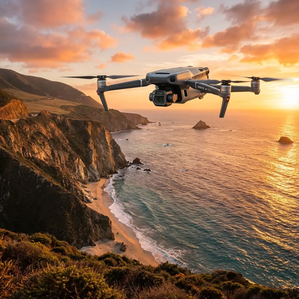
Highway infrastructure inspection in dusty environments pushes drone technology to its limits. The Mavic 3T combines a 48MP wide camera, 56× hybrid zoom, and 640×512 thermal sensor into a platform that handles these demanding conditions—when you know how to use it properly.
This guide shares field-tested techniques for capturing highway data in dusty conditions, drawn from hundreds of hours surveying desert corridors and rural road networks.
Why the Mavic 3T Excels at Highway Inspection
Highway surveys demand a specific combination of capabilities. You need long flight times to cover linear infrastructure efficiently. You need thermal imaging to detect subsurface issues. You need zoom capability to inspect bridges and signage without getting dangerously close.
The Mavic 3T delivers on all three fronts.
Its 45-minute maximum flight time translates to roughly 35 minutes of practical survey time when accounting for takeoff, landing, and safety margins. That's enough to cover 8-10 kilometers of highway per battery in optimal conditions.
The integrated thermal camera operates at 30Hz refresh rate, capturing subtle temperature differentials that indicate:
- Subsurface moisture intrusion
- Delaminating pavement layers
- Drainage system blockages
- Bridge deck deterioration
Expert Insight: Schedule thermal flights during the golden hours—the first two hours after sunrise or before sunset. Pavement retains heat differently than surrounding materials during these transition periods, making defects dramatically more visible in your thermal signature data.
Pre-Flight Preparation for Dusty Conditions
Dust is the silent killer of drone equipment. Fine particulates infiltrate motors, coat sensors, and degrade image quality faster than any other environmental factor.
Sensor Protection Protocol
Before every dusty highway mission, implement this checklist:
- Apply hydrophobic lens coating to all three camera lenses
- Inspect gimbal seals for debris accumulation
- Clean cooling vents with compressed air (hold can upright to prevent moisture)
- Check propeller blade edges for erosion damage
- Verify obstacle avoidance sensors are clear and functional
The Mavic 3T's sealed construction provides reasonable dust resistance, but "reasonable" isn't good enough for professional operations. Carry lens cleaning wipes and a rocket blower in your field kit.
GCP Placement Strategy
Ground Control Points transform good photogrammetry into survey-grade data. For highway corridors, place GCPs according to this pattern:
- Every 200 meters along the centerline
- At all intersections and interchange ramps
- On stable surfaces away from traffic vibration
- With high-contrast targets visible in both RGB and thermal spectrums
Standard white GCP targets disappear in dusty conditions. Use orange or pink targets with reflective borders for maximum visibility.
Battery Management: The Field Experience That Changed Everything
Three years ago, I lost an entire day of highway survey data because of poor battery discipline. The temperature hit 42°C, I pushed batteries past their comfort zone, and the Mavic 3T initiated emergency landing 800 meters from my position—in the middle of a construction zone.
That experience taught me the hot-swap batteries protocol I now use religiously.
The 30-60-90 Rule
- 30%: Begin return-to-home sequence
- 60%: Maximum distance from launch point
- 90%: Never launch with less than this charge
In dusty conditions, add 10% buffer to each threshold. Dust accumulation increases motor load, which accelerates battery drain.
Field Charging Setup
Highway surveys often lack convenient power sources. My mobile charging station includes:
- Dual-port vehicle charger connected to truck battery
- Three flight batteries in rotation
- Insulated cooler to prevent overheating during charging
- Battery temperature monitor (never charge above 40°C)
Pro Tip: Label your batteries with colored tape and track cycles religiously. Battery #1 might show 95% health while Battery #3 sits at 87%. That 8% difference translates to 3-4 minutes of flight time—enough to complete a survey segment or strand you mid-mission.
Optimizing O3 Transmission for Highway Corridors
The Mavic 3T's O3 transmission system delivers 15km maximum range under ideal conditions. Highway environments are rarely ideal.
Signal Interference Sources
Highway corridors present unique transmission challenges:
- High-voltage power lines create electromagnetic interference
- Vehicle traffic generates radio noise
- Metal guardrails cause signal reflection
- Terrain features block line-of-sight
Mitigation Techniques
Position your controller for maximum signal strength:
- Elevate the controller using a tripod or vehicle roof
- Orient antennas perpendicular to the aircraft's position
- Avoid standing near vehicles with running engines
- Monitor signal strength and adjust position proactively
For BVLOS operations, establish relay positions every 3-4 kilometers where a team member can provide visual observation and signal relay if needed.
Technical Comparison: Mavic 3T vs. Alternative Platforms
| Feature | Mavic 3T | Enterprise Platform A | Consumer Thermal |
|---|---|---|---|
| Thermal Resolution | 640×512 | 320×256 | 160×120 |
| Flight Time | 45 min | 38 min | 28 min |
| Zoom Capability | 56× hybrid | 32× | 4× digital |
| Transmission Range | 15 km | 10 km | 8 km |
| AES-256 Encryption | Yes | Yes | No |
| Weight | 920g | 1,350g | 895g |
| Photogrammetry Ready | Yes | Yes | Limited |
The Mavic 3T occupies a unique position—enterprise-grade capabilities in a portable package that doesn't require specialized transport or two-person crews.
Data Security Considerations
Highway infrastructure data carries sensitivity implications. The Mavic 3T's AES-256 encryption protects data in transit, but your workflow must maintain that security chain.
Secure Data Handling
- Enable Local Data Mode to prevent cloud synchronization
- Format SD cards after secure transfer to processing workstation
- Use encrypted storage for all project files
- Implement access controls limiting who can view raw footage
Government contracts often require specific data handling certifications. Verify your workflow meets NIST 800-171 or equivalent standards before bidding infrastructure projects.
Common Mistakes to Avoid
Flying during peak dust hours: Wind patterns typically create maximum dust suspension between 10 AM and 4 PM. Schedule flights for early morning or late afternoon when possible.
Ignoring thermal calibration: The Mavic 3T's thermal sensor requires flat-field calibration periodically. Skipping this step introduces measurement errors that compound across large datasets.
Overlapping flight paths incorrectly: Photogrammetry requires 70% frontal overlap and 60% side overlap minimum. Highway corridors tempt pilots to reduce overlap for efficiency—resist this urge.
Neglecting wind compensation: Dusty conditions often correlate with wind. The Mavic 3T handles 12 m/s winds, but image quality degrades significantly above 8 m/s. Check forecasts and adjust expectations.
Storing batteries fully charged: Lithium batteries degrade faster at full charge. If you won't fly for more than three days, discharge to 60% for storage.
Frequently Asked Questions
How often should I clean the Mavic 3T after dusty highway flights?
Clean sensors and vents after every flight day in dusty conditions. Perform deep cleaning including gimbal inspection weekly during intensive survey projects. Replace propellers every 50-75 flight hours in dusty environments versus the standard 100-hour interval.
Can the Mavic 3T detect pavement cracks using thermal imaging?
Thermal imaging reveals cracks indirectly through differential heating patterns. Cracks allow moisture infiltration, which creates distinct thermal signatures during temperature transitions. For direct crack detection, use the 48MP RGB camera with photogrammetry processing to generate sub-centimeter resolution orthomosaics.
What's the minimum safe altitude for highway inspection flights?
Maintain 120 meters AGL minimum when flying over active traffic. For closed-road surveys, you can descend to 30-50 meters for detailed inspection. Always coordinate with transportation authorities and obtain necessary waivers for operations below standard minimums or within controlled airspace near airports.
Highway inspection in dusty conditions demands respect for both the environment and your equipment. The Mavic 3T provides the tools—thermal imaging, extended range, and robust construction—but success depends on disciplined workflows and continuous learning.
Every survey teaches something new. Document your experiences, refine your protocols, and share knowledge with the professional community.
Ready for your own Mavic 3T? Contact our team for expert consultation.