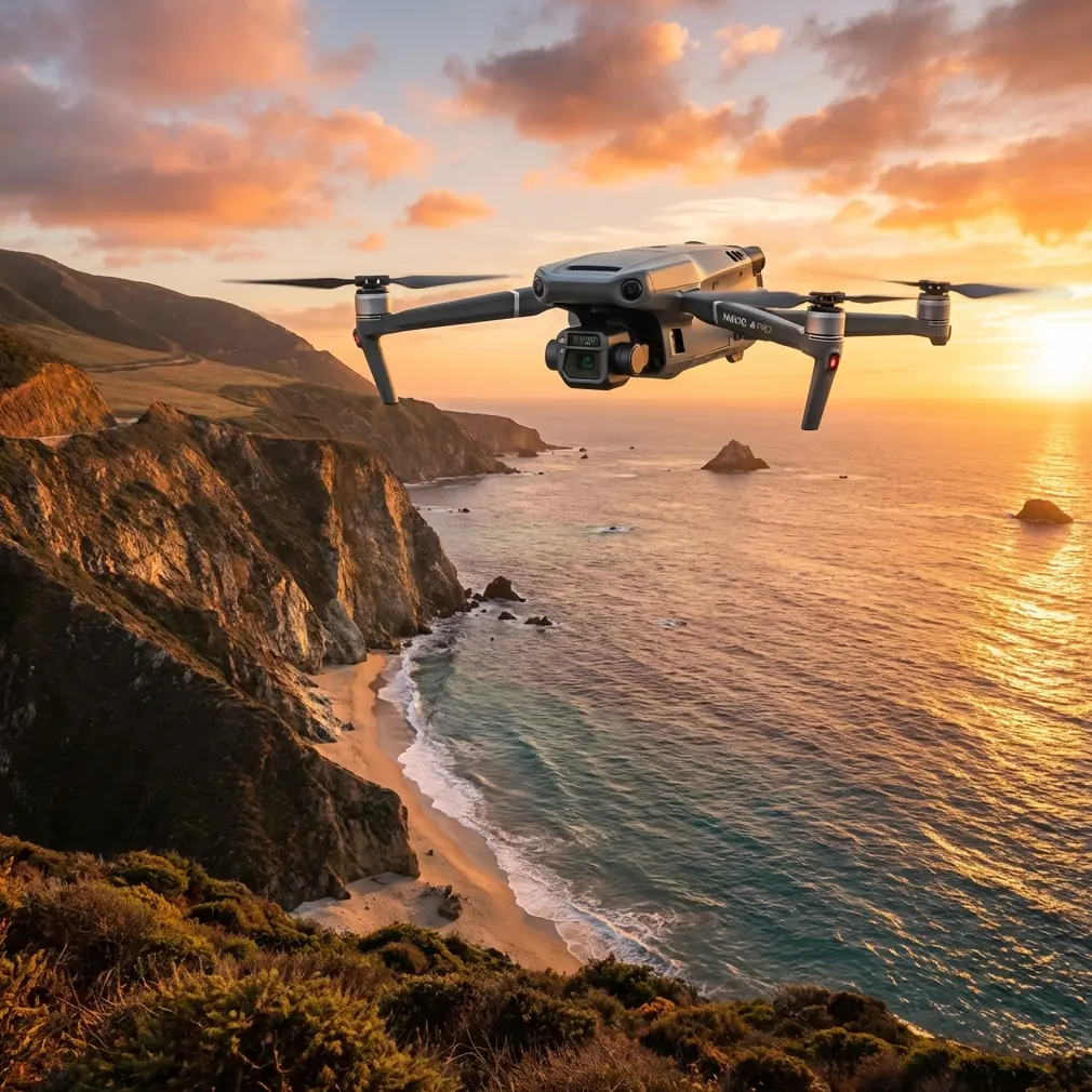
Mavic 3T Capturing Tips for Venues in Extreme Temperatures
Mavic 3T Capturing Tips for Venues in Extreme Temperatures: Altitude, Thermal Discipline, and Data You Can Trust
META: Practical Mavic 3T workflow for capturing venues in extreme heat or cold, with flight altitude advice, thermal imaging tactics, transmission reliability, and defensible inspection data.
When a venue has to be documented in severe heat or deep cold, the Mavic 3T is not just a camera platform. It becomes a measurement tool, a safety buffer, and, if used carelessly, a source of misleading thermal data.
That distinction matters.
I’ve seen teams fly a thermal mission over a large roof, stadium concourse, or industrial event complex and assume the image tells the whole story. It rarely does. Extreme temperatures amplify every weak decision: poor altitude selection, wrong timing, sloppy overlap, unstable hover points, and surface reflections that look like defects but are really just environmental noise.
For venue work, the Mavic 3T shines when you treat it like a disciplined capture system rather than a quick-look drone. The goal is not only to “see hot and cold areas.” The goal is to produce repeatable visual and thermal evidence that facility managers, insurers, maintenance teams, and project stakeholders can act on.
This is the workflow I recommend.
Start with the right mission objective
“Capturing a venue” sounds simple, but it usually means one of three different jobs:
Thermal condition survey
Looking for heat loss, HVAC anomalies, overloaded electrical zones, solar loading patterns, or moisture-related temperature irregularities.Visual mapping and photogrammetry
Building a consistent record of roofs, façades, parking structures, access routes, and exterior assets.Hybrid documentation
Combining RGB context with thermal signature analysis so that a warm patch is not just visible, but spatially understandable.
The Mavic 3T is especially useful in the third category. Thermal without context can create arguments. RGB without temperature can miss the issue entirely.
At venues in extreme temperatures, that hybrid capture is often the difference between “interesting footage” and a defensible maintenance report.
The altitude question: the most overlooked decision in venue thermal work
If you only change one habit, change your flight altitude strategy.
Many pilots fly too high because they want the entire venue in fewer passes. That works for broad visual overviews. It is much less effective when thermal detail is the point. As altitude increases, target detail drops, thermal blending becomes more pronounced, and small anomalies get averaged into the surrounding surface.
For most venue capture tasks with the Mavic 3T, I advise thinking in layers rather than one universal height:
- 60–80 m AGL for broad site context and perimeter orientation
- 30–50 m AGL for roof zones, seating sections, façade panels, and equipment areas where thermal differences must remain interpretable
- 15–30 m AGL for confirming suspect areas, especially around mechanical units, rooftop penetrations, patch repairs, or localized envelope defects
The operational significance is straightforward: lower altitude improves your ability to separate a genuine thermal signature from a generalized hot surface. On a large venue roof in summer, that can mean the difference between identifying a specific HVAC imbalance and simply recording that the whole membrane is warm.
If the client needs photogrammetry outputs too, don’t force the thermal mission to do everything. Run a higher, structured RGB mapping pass with proper overlap and GCP support where needed, then follow with a lower thermal confirmation pass. The Mavic 3T can support both tasks, but they should not be planned as if they are the same mission.
Extreme heat and cold distort more than equipment performance
Pilots usually think first about battery stress. Fair enough. But the bigger problem is often environmental interpretation.
In extreme heat:
- sun-soaked surfaces hold energy unevenly
- metal structures reflect thermal energy in confusing ways
- dark roofing materials can mask developing anomalies
- air shimmer can degrade visual confidence at longer stand-off distances
In extreme cold:
- heat leakage becomes easier to spot
- snow, frost, and moisture transitions can create misleading contrasts
- warm interior spaces exaggerate edge leakage near doors, skylights, and joints
- battery efficiency drops, shortening practical mission windows
This is why timing matters as much as hardware. For thermal venue capture, don’t assume midday is best. Often it is worse, especially if you need building-envelope clarity rather than dramatic-looking heat maps. Early morning, late afternoon, or a controlled comparison window can produce cleaner differentiation.
What aviation test logic teaches us about better Mavic 3T fieldwork
One of the more useful reference points here comes from aircraft electrical system test methodology. In the source material, a proper test setup is not treated as just the device under examination. It includes the support environment: real power equipment, monitoring of inlet and outlet pressure, oil temperature, cooling arrangements, and simulated loads sized to the test requirement.
That mindset translates beautifully to Mavic 3T venue work.
A serious capture mission is not “drone plus pilot.” It is a controlled chain:
- aircraft
- batteries
- ambient conditions
- launch and recovery pacing
- transmission integrity
- thermal calibration habits
- ground reference discipline
- post-flight interpretation
The source text specifically describes monitoring input and output pressure and oil temperature during a constant-speed system test, with cooling integrated into the loop. Operationally, that matters because valid results depend on the whole system being stable, not just powered on.
For Mavic 3T users, the equivalent lesson is this: if your platform temperature, battery state, scene conditions, and flight profile are changing too much from pass to pass, your thermal comparison quality degrades. You may still get usable images, but you lose confidence in trend analysis.
That is why I recommend short, deliberate sorties over long improvised flights in harsh weather. Swap batteries before you need to. Re-fly critical lines if the wind shifts. Confirm thermal findings with a second angle. Build consistency first.
Why lower-cost improvisation usually fails in this scenario
Another detail from the reference material is worth pulling forward. It notes that lower-investment drive-test setups struggle to meet precise “speed setting” and “acceleration setting” requirements, and their mechanical behavior is too soft to realistically simulate engine characteristics.
There is a direct venue-capture parallel.
In extreme temperatures, thermal interpretation is very sensitive to aircraft behavior. If your speed varies too much, if your acceleration into turns is abrupt, or if your hover discipline is loose, you introduce inconsistency into the image set. That hurts both thermal analysis and photogrammetry.
With the Mavic 3T, this means:
- keep route speed conservative
- avoid aggressive stick inputs during inspection passes
- maintain constant line spacing
- use repeatable approach angles on suspect assets
- do not mix “cinematic flying” with survey flying on the same critical pass
That operational consistency is especially valuable if you expect to compare seasonal datasets later.
O3 transmission matters more at large venues than many teams realize
Large venues are RF-complicated environments. Steel, concrete, scoreboard structures, rooftop mechanical clusters, and multi-level geometry all interfere with clean signal behavior. Add temperature stress and time pressure, and the mission can degrade fast.
This is where dependable O3 transmission becomes more than a spec-sheet line. Stable video and control link quality directly affects your ability to hold framing, verify thermal targets in real time, and make micro-adjustments without overflying the asset repeatedly.
For venues with sprawling footprints, that link stability also helps preserve safer stand-off positioning. You are less likely to push unnecessarily close just to regain confidence in what you’re seeing.
If the venue operator has data sensitivity concerns, the presence of AES-256-grade protection in the transmission ecosystem is also relevant. Not because encryption solves every workflow problem, but because venue capture often involves infrastructure layouts, rooftop access patterns, and utility placements that owners do not want casually exposed.
Build the mission in two passes, not one
For most Mavic 3T venue jobs in extreme temperatures, I prefer a two-pass structure.
Pass 1: Site understanding
Use RGB and thermal together to establish:
- heat distribution patterns
- wind exposure zones
- shadow lines
- reflective surfaces
- access constraints
- repeatable launch references
This pass is where you decide whether your initial altitude was too high. If anomalies are broad but vague, descend.
Pass 2: Structured evidence capture
Now fly for consistency:
- fixed altitude for the target area
- stable speed
- planned overlap if orthomosaic output is needed
- repeated oblique angles on problem assets
- clear annotation of time and environmental conditions
If you are building measurable outputs, GCP use can still matter on the RGB mapping side, especially for large venue redevelopment, roof plan updates, or construction verification. Thermal images alone rarely settle disputes. Spatially anchored visual data gives the thermal findings context that engineers and facility teams can work from.
Hot surfaces are not always the problem
One trap in summer venue inspections is chasing the hottest object in the frame. That is often the least useful target.
The better approach is comparative analysis:
- one rooftop unit against adjacent units
- one façade section against neighboring panels
- one electrical enclosure relative to similar loads
- one concourse zone compared with the same orientation elsewhere on site
Reference-based thinking matters because extreme temperatures raise the baseline everywhere. You are not always looking for absolute heat. You are looking for unexpected difference.
That is why repeatability in altitude and viewing angle matters so much. A thermal signature observed from 25 m with a shallow angle is not directly comparable to one captured from 60 m overhead with midday glare.
Battery management should support data quality, not just air time
People talk about hot-swap workflows because they want efficiency. In venue capture, the smarter reason is consistency.
When conditions are severe, pushing one battery too far often means:
- reduced hover confidence near the end of the flight
- rushed framing on the last grid lines
- inconsistent return timing
- unnecessary thermal drift between sections
A disciplined battery rotation lets you divide the venue into logical capture blocks. That is far better for post-processing and for anomaly confirmation than one sprawling mission with uneven quality from start to finish.
A practical altitude recommendation by venue type
If you want a simple field rule, use this as a starting point:
- Stadium roof and upper structure: 35–50 m AGL for primary thermal review
- Façades and vertical envelope sections: 20–35 m stand-off equivalent, depending on geometry
- Parking decks and access roads: 50–80 m for broad layout, then lower for localized heat issues
- Mechanical rooftops and service zones: 15–25 m for confirmation work
The reason I rarely recommend starting high for thermal is simple: altitude hides small but costly problems. For Mavic 3T users, the sweet spot is often lower than expected, especially when the goal is maintenance-grade interpretation rather than promotional imagery.
When BVLOS thinking enters the conversation
Some operators managing very large campuses or distributed venue complexes ask whether BVLOS-style planning concepts help. They do, even when your mission remains fully compliant within visual-line workflows. The useful lesson is not distance for its own sake. It is process discipline: segmented airspace awareness, communication planning, battery staging, and repeatable route logic.
That mindset improves venue capture even on shorter-range operations.
Final field advice I give Mavic 3T teams
If you are capturing venues in extreme temperatures, do these five things every time:
- Choose the mission type first: thermal survey, photogrammetry, or hybrid.
- Fly lower than your instinct for thermal work, then climb only if coverage demands it.
- Break the job into battery-sized sections to preserve consistency.
- Compare like-for-like assets rather than chasing the hottest pixels.
- Reconfirm anomalies from a second altitude or angle before reporting them.
If you need a second opinion on flight planning for a difficult site, I usually suggest sharing the venue layout and thermal objective before the mission rather than after the data disappoints. A direct planning note can save hours in the field; you can send that via this Mavic 3T mission contact channel.
The Mavic 3T is extremely capable in harsh environments, but capability alone is not the point. What matters is whether the data stays credible when the venue is radiating heat, shedding cold, or doing both at once across different materials and elevations.
Extreme temperature work rewards disciplined operators. The aircraft gives you the view. Your method determines whether that view becomes evidence.
Ready for your own Mavic 3T? Contact our team for expert consultation.