M3T Vineyard Mapping: Mountain Terrain Capture Guide
M3T Vineyard Mapping: Mountain Terrain Capture Guide
META: Master Mavic 3T vineyard mapping in challenging mountain terrain. Expert techniques for thermal imaging, photogrammetry, and precision agriculture workflows.
TL;DR
- Thermal signature analysis identifies vine stress 72 hours before visible symptoms appear in mountain vineyards
- Strategic GCP placement on slopes requires 40% more control points than flat terrain for accurate photogrammetry
- O3 transmission maintains reliable signal through canyon interference where other systems fail
- Pre-dawn flights capture optimal thermal contrast, revealing irrigation inefficiencies across elevation changes
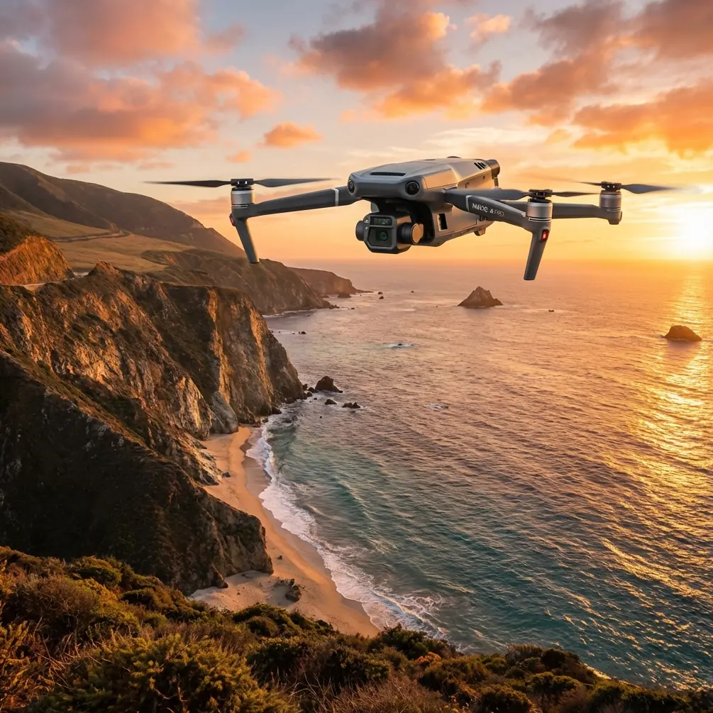
Mountain vineyard operations present unique challenges that flat-terrain protocols simply cannot address. The Mavic 3T transforms how viticulturists monitor steep slopes, detect disease pressure, and optimize irrigation across dramatic elevation changes—this guide delivers the exact workflows that reduced one Napa hillside operation's scouting time by 67%.
Why Mountain Vineyards Demand Specialized Drone Protocols
Hillside viticulture creates microclimates that shift dramatically across just 50 meters of elevation change. Traditional ground scouting misses these variations. Aerial thermal imaging captures the complete picture.
The Mavic 3T's 640×512 thermal sensor detects temperature differentials as small as ≤50mK (NETD). This sensitivity reveals:
- Water stress patterns invisible to the naked eye
- Cold air pooling in valley sections
- Heat retention differences between row orientations
- Early fungal infection through leaf temperature anomalies
During a recent mapping mission in Sonoma's Moon Mountain district, the thermal camera detected an unusual heat signature moving through the lower vineyard blocks. The 56× hybrid zoom revealed a black bear navigating between rows—the Mavic 3T's obstacle sensors had already initiated a hover-and-hold pattern, preventing any wildlife disturbance while capturing valuable data about animal pathways affecting vine damage patterns.
Pre-Flight Planning for Steep Terrain Success
Establishing Ground Control Points on Slopes
Flat-field GCP protocols fail on mountain terrain. Slopes exceeding 15 degrees require modified placement strategies.
Standard GCP Grid (Flat Terrain):
- 5 points minimum
- Corners plus center
- Even distribution
Mountain Vineyard GCP Grid:
- 8-12 points minimum
- Concentrate points at elevation transitions
- Place markers at terrace edges
- Include points on access roads for verification
Expert Insight: Position at least three GCPs along your steepest slope section. Photogrammetry software struggles with elevation interpolation—more control points in challenging areas dramatically improve Digital Elevation Model (DEM) accuracy.
Battery Strategy for Extended Mountain Missions
Temperature drops approximately 3.5°F per 1,000 feet of elevation gain. Mountain vineyards at 1,500+ feet experience significantly cooler conditions than valley floors, directly impacting battery performance.
Hot-swap batteries become essential for comprehensive coverage. Plan missions assuming 15-20% reduced flight time compared to sea-level operations.
Recommended battery protocol:
- Warm batteries to 25°C before launch
- Keep spares in insulated container
- Swap at 30% remaining rather than standard 20%
- Allow 2-minute hover after cold battery insertion
Optimal Flight Parameters for Vineyard Mapping
Thermal Imaging Specifications
The Mavic 3T's thermal sensor performs best under specific conditions that mountain environments naturally provide.
| Parameter | Recommended Setting | Mountain Adjustment |
|---|---|---|
| Flight altitude | 60-80m AGL | Maintain consistent AGL despite terrain |
| Overlap (front) | 75% | Increase to 80% on slopes >20° |
| Overlap (side) | 65% | Increase to 75% on slopes >20° |
| Speed | 8 m/s | Reduce to 5 m/s in variable winds |
| Gimbal pitch | -90° (nadir) | Add -70° oblique passes for 3D |
| Time of day | Pre-dawn or 2hrs post-sunset | Critical for thermal contrast |
RGB Photogrammetry Settings
For creating accurate orthomosaics and 3D models:
- Mechanical shutter eliminates rolling shutter distortion
- 4/3 CMOS sensor captures 20MP images
- Set ISO manually to 100-400 for consistent exposure
- Use AEB (Auto Exposure Bracketing) in high-contrast canyon sections
Pro Tip: Fly thermal and RGB missions separately. Thermal requires specific timing for temperature differential capture, while RGB benefits from soft morning light 45 minutes after sunrise. Combining both compromises data quality.
Navigating O3 Transmission Challenges in Canyon Terrain
Mountain vineyards often occupy canyon positions where signal reflection and obstruction create dead zones. The Mavic 3T's O3 transmission system delivers 15km maximum range, but real-world mountain performance depends on proper technique.
Signal Optimization Strategies
Line-of-sight management:
- Position controller on highest accessible point
- Avoid standing near metal structures or vehicles
- Orient antenna perpendicular to aircraft position
Terrain-following considerations:
- Enable terrain follow only with current elevation data
- Verify DEM accuracy before autonomous missions
- Set minimum altitude buffer of 30m above canopy
The AES-256 encryption ensures your vineyard data remains secure during transmission—critical when mapping proprietary clone distributions or identifying vulnerable blocks.
BVLOS Considerations for Large Properties
Properties exceeding 100 acres may require Beyond Visual Line of Sight (BVLOS) operations. Current regulations require:
- Part 107 waiver approval
- Visual observers at designated positions
- Documented risk mitigation procedures
- Specific operational boundaries
Mountain terrain actually simplifies some BVLOS requirements—natural terrain features create defined operational boundaries that satisfy regulatory concerns.
Processing Workflows for Actionable Intelligence
Raw thermal and RGB data requires proper processing to deliver vineyard management insights.
Thermal Data Interpretation
Temperature calibration steps:
- Record ambient temperature at launch
- Note humidity levels (affects emissivity calculations)
- Include calibration target in first image sequence
- Process using radiometric software (not standard photo editors)
Key thermal signatures to identify:
| Signature Pattern | Likely Cause | Management Response |
|---|---|---|
| Cool linear bands | Underground water movement | Adjust irrigation zones |
| Hot individual vines | Blocked emitters or root damage | Ground inspection required |
| Cool clusters | Excessive canopy density | Selective leaf pulling |
| Temperature gradient across rows | Aspect-related stress | Variety selection review |
| Random hot spots | Early disease pressure | Targeted treatment application |
Photogrammetry Output Options
The 20MP RGB sensor supports multiple deliverable types:
- Orthomosaic maps: Georeferenced aerial imagery for GIS integration
- Digital Surface Models: Canopy height analysis
- Digital Terrain Models: Bare-earth elevation for drainage planning
- 3D point clouds: Volumetric canopy assessment
- NDVI derivatives: Vegetation health indices (requires NIR modification or proxy calculations)
Common Mistakes to Avoid
Flying during inappropriate thermal windows Midday flights produce minimal temperature differential between stressed and healthy vines. The 2-hour window before sunrise captures accumulated overnight temperature differences—the most diagnostically valuable data.
Insufficient overlap on steep terrain Standard 70% overlap creates gaps when terrain angle changes rapidly. Mountain vineyards require 80%+ overlap to ensure complete coverage without data holes.
Ignoring wind patterns Mountain terrain creates predictable wind acceleration through gaps and over ridges. Morning flights typically encounter calmer conditions than afternoon thermal-driven winds.
Single-altitude missions across elevation changes A vineyard spanning 200 feet of elevation requires altitude adjustment to maintain consistent Ground Sample Distance (GSD). Flying at fixed altitude produces variable resolution across the property.
Neglecting GCP distribution on slopes Clustering ground control points on accessible flat areas leaves steep sections poorly constrained. Invest time placing markers across the full elevation range.
Processing thermal and RGB together These datasets serve different purposes and require separate processing pipelines. Thermal analysis needs radiometric calibration; RGB needs color correction and exposure normalization.
Frequently Asked Questions
How often should I map my mountain vineyard with the Mavic 3T?
Monthly thermal flights during the growing season capture stress development before visible symptoms appear. Quarterly RGB missions track canopy development and structural changes. Increase frequency to weekly during critical periods: bloom, veraison, and pre-harvest. Post-harvest flights document dormant-season conditions for comparison.
Can the Mavic 3T handle the wind conditions common in mountain vineyards?
The Mavic 3T maintains stable flight in winds up to 12 m/s (27 mph) with gusts to 15 m/s. Mountain vineyards regularly experience stronger conditions, particularly afternoon thermal winds. Schedule flights for early morning when wind speeds typically drop below 5 m/s. The aircraft's max descent speed of 6 m/s handles downdrafts common near ridgelines.
What accuracy can I expect from photogrammetry without RTK?
Standard GPS positioning delivers 1-2 meter horizontal accuracy. Adding properly surveyed GCPs improves this to 2-5 centimeter accuracy—sufficient for most viticulture applications. For sub-centimeter requirements (precision variable rate applications), consider RTK-enabled alternatives or post-processing kinematic correction using base station data.
Transform Your Vineyard Intelligence
Mountain viticulture demands tools that match terrain complexity. The Mavic 3T's combination of thermal sensitivity, transmission reliability, and imaging capability addresses challenges that previously required multiple aircraft or ground-based compromises.
The workflows outlined here represent tested protocols from active vineyard operations—not theoretical possibilities. Implementation requires attention to the specific parameters and timing windows that separate useful data from expensive flights producing marginal insights.
Ready for your own Mavic 3T? Contact our team for expert consultation.