How to Deliver Construction Sites Remotely with M3T
How to Deliver Construction Sites Remotely with M3T
META: Master remote construction site delivery using the Mavic 3T drone. Learn thermal imaging, photogrammetry workflows, and BVLOS operations for efficient project management.
TL;DR
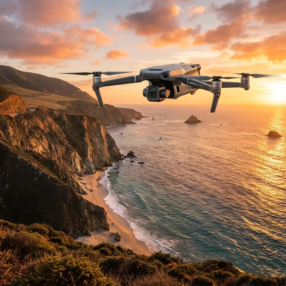
- The Mavic 3T combines thermal signature detection with 56× hybrid zoom for comprehensive remote construction monitoring
- O3 transmission enables reliable 15km control range for true BVLOS operations in remote locations
- Hot-swap batteries and 45-minute flight time allow continuous site coverage without workflow interruption
- Integrated photogrammetry capabilities eliminate the need for extensive GCP placement in challenging terrain
The Remote Construction Challenge You're Facing
Getting eyes on remote construction sites costs time and money. Traditional site visits to mountain infrastructure projects, pipeline installations, or off-grid developments can consume entire workdays just in travel. The Mavic 3T transforms this workflow by delivering real-time thermal and visual data from sites that would otherwise require helicopter surveys or multi-day expeditions.
This guide breaks down exactly how to implement Mavic 3T operations for remote construction delivery—from pre-flight planning through final deliverable generation.
Why Remote Construction Sites Demand Specialized Drone Solutions
Remote construction presents unique challenges that consumer drones simply cannot address. Sites located beyond cellular coverage, in extreme temperatures, or across difficult terrain require enterprise-grade reliability.
The Access Problem
Many construction projects exist in locations where:
- Road access is seasonal or non-existent
- Weather windows for site visits are limited
- Safety concerns restrict ground personnel movement
- Environmental regulations limit vehicle traffic
What Traditional Methods Cost You
Ground-based inspections of remote sites typically require:
- 4-8 hours of travel time per site visit
- Multiple personnel for safety compliance
- Specialized vehicles or aircraft charter
- Weather-dependent scheduling with frequent cancellations
The Mavic 3T addresses each limitation through its combination of range, sensor capability, and operational flexibility.
Mavic 3T Technical Capabilities for Construction Delivery
Understanding the specific technical features that enable remote construction operations helps you maximize the platform's potential.
Thermal Signature Detection for Site Monitoring
The integrated thermal camera operates at 640×512 resolution with temperature measurement accuracy of ±2°C. For construction applications, this enables:
- Equipment heat signature monitoring to verify operational status
- Concrete curing temperature verification
- Electrical system inspection for connection issues
- Personnel location confirmation in low-visibility conditions
During a recent pipeline construction project in northern terrain, the thermal sensor detected an unexpected heat signature that turned out to be a moose bedded down near the work zone. This wildlife encounter, invisible to the wide-angle camera, allowed the operations team to delay material delivery until the animal moved on—preventing both a safety incident and potential regulatory complications.
Expert Insight: Set your thermal palette to "White Hot" for construction monitoring. This configuration makes equipment and personnel stand out clearly against cooler backgrounds, and the contrast helps identify thermal anomalies in electrical connections or mechanical systems.
Photogrammetry Without Extensive Ground Control
Traditional aerial survey requires placing GCP markers across the site—a process that defeats the purpose of remote operations. The Mavic 3T's RTK module achieves centimeter-level positioning accuracy without ground control points in many scenarios.
For construction progress documentation:
- Horizontal accuracy: 1 cm + 1 ppm
- Vertical accuracy: 1.5 cm + 1 ppm
- Survey-grade outputs directly from flight data
This capability means a single operator can generate accurate volumetric measurements, progress documentation, and as-built comparisons without ever setting foot on site.
O3 Transmission for True Remote Operations
The OcuSync 3 Enterprise transmission system delivers:
- 15km maximum range in unobstructed conditions
- 1080p/30fps live feed with minimal latency
- AES-256 encryption for secure data transmission
- Automatic frequency hopping across 2.4GHz and 5.8GHz bands
For BVLOS operations—where regulations permit—this transmission reliability becomes critical. Signal loss during a remote construction survey creates recovery complications that can derail entire project timelines.
Technical Comparison: Construction Drone Platforms
| Feature | Mavic 3T | Phantom 4 RTK | M30T |
|---|---|---|---|
| Thermal Resolution | 640×512 | None | 640×512 |
| Max Flight Time | 45 min | 30 min | 41 min |
| Transmission Range | 15 km | 8 km | 15 km |
| Zoom Capability | 56× hybrid | 1× | 200× |
| Weight | 920g | 1391g | 3770g |
| Hot-swap Batteries | Yes | No | Yes |
| RTK Positioning | Optional | Integrated | Integrated |
| Portability | Foldable | Fixed | Fixed |
The Mavic 3T occupies a unique position—offering thermal capability and extended range in a portable form factor that larger platforms cannot match.
Step-by-Step Remote Construction Delivery Workflow
Phase 1: Pre-Mission Planning
Before any remote operation, complete these preparation steps:
- Airspace verification through local aviation authorities
- Weather assessment for the flight window and backup dates
- Communication plan with on-site personnel if present
- Flight path programming with waypoints and altitude settings
- Deliverable requirements confirmation with project stakeholders
Pro Tip: Program your mission in DJI Pilot 2 before traveling to the launch site. The offline mapping feature lets you plan complete survey patterns using cached satellite imagery, saving critical battery power for actual flight operations.
Phase 2: Launch Site Selection
For remote operations, your launch position matters significantly:
- Select elevated terrain when possible for improved line-of-sight
- Verify GPS satellite count before takeoff (minimum 12 satellites recommended)
- Confirm RTK base station connection if using network RTK
- Test transmission quality at hover before committing to the survey pattern
Phase 3: Flight Execution
During the actual survey flight:
- Maintain minimum 50m AGL over active construction zones
- Capture thermal and visual data simultaneously using split-screen recording
- Execute programmed waypoint missions for consistent coverage
- Monitor battery levels with 30% reserve for return flight
Phase 4: Data Processing and Delivery
Post-flight processing transforms raw captures into actionable deliverables:
- Import imagery into photogrammetry software (Pix4D, DroneDeploy, or similar)
- Generate orthomosaic maps with embedded thermal data
- Create 3D point clouds for volumetric analysis
- Export progress comparison overlays against previous surveys
Common Mistakes to Avoid
Underestimating Weather at Remote Sites
Conditions at your launch point may differ dramatically from the construction site several kilometers away. Wind speeds, precipitation, and visibility can change across mountain valleys or coastal areas. Always check weather data specific to the target location, not just your takeoff position.
Neglecting Hot-Swap Battery Rotation
The Mavic 3T's hot-swap capability only helps if you've properly managed your battery inventory. Arriving at a remote location with batteries at 40% charge because you forgot to cycle them after the previous mission creates unnecessary limitations.
Skipping Redundant Data Capture
Remote sites are expensive to revisit. Capture more data than you think you need. Overlap your survey patterns by 80% front and 70% side for photogrammetry, and record continuous video in addition to programmed photo intervals.
Ignoring AES-256 Encryption Settings
Construction site data often includes sensitive project information. Verify that encryption is enabled before transmitting footage, especially when operating near cellular coverage where interception risks increase.
Flying Without Proper BVLOS Authorization
Extended range capability does not equal legal authorization. Ensure your operation complies with local regulations regarding beyond visual line of sight flights. Many jurisdictions require specific waivers, observer networks, or detect-and-avoid systems.
Frequently Asked Questions
Can the Mavic 3T operate in extreme cold at remote mountain construction sites?
The Mavic 3T operates in temperatures down to -20°C, though battery performance decreases in extreme cold. Pre-warm batteries to at least 20°C before flight, and expect approximately 20-30% reduction in flight time at the lower temperature limits. Keep spare batteries insulated until needed.
How accurate is the photogrammetry data without placing GCP markers on site?
With RTK positioning enabled and proper satellite geometry, the Mavic 3T achieves 1-2cm horizontal accuracy and 1.5-3cm vertical accuracy without ground control points. For construction progress monitoring and volumetric calculations, this precision typically exceeds project requirements. Critical survey work may still benefit from minimal GCP placement at accessible site boundaries.
What data formats does the Mavic 3T output for construction management software integration?
The platform captures JPEG and DNG still images with embedded GPS coordinates, MP4 video with flight telemetry, and RJPEG thermal imagery that preserves temperature data for each pixel. These formats integrate directly with major construction management platforms including Procore, Autodesk Construction Cloud, and PlanGrid through standard import workflows or API connections.
Implementing Your Remote Construction Drone Program
The Mavic 3T represents a practical solution for construction teams managing geographically distributed projects. Its combination of thermal imaging, survey-grade positioning, and extended transmission range addresses the specific challenges of remote site monitoring.
Success depends on proper planning, regulatory compliance, and workflow integration with your existing project management systems. The technology handles the difficult part—getting accurate visual and thermal data from locations that would otherwise require significant time and resource investment to access.
Ready for your own Mavic 3T? Contact our team for expert consultation.