“Hot-top, Cold-bottom”: A Highway Surveyor’s Field Notes
“Hot-top, Cold-bottom”: A Highway Surveyor’s Field Notes on Pushing the Mavic 3T to 15 km in 45 km/h Wind
META: Veteran surveyor James Mitchell explains how he keeps the Mavic 3T aloft for 40-minute thermal runs above gusty highways, shares antenna hacks that add 3 km to O3 range, and shows why a 640×512 radiometric feed beats lugging a 4 kg DSLR up an embankment.
The wind always starts politely. By the time the guard-rail disappears under the drone, the anemometer on the rover mast already flickers 38 km/h, gusting 45. I thumb the left stick anyway, because the asphalt crew is burning daylight and the thermal map has to be on the engineer’s desk before the next pour. Forty minutes later the Mavic 3T touches down with 18 % battery, 1,847 images captured, and a temperature delta that just saved the contractor a five-figure cold-joint claim. Here is how we got there—antenna angles, battery math, and the real reason a 640×512 radiometric sensor makes a 200 mm f/2.8 look antique.
1. Why highways are thermal nightmares (and perfect classrooms)
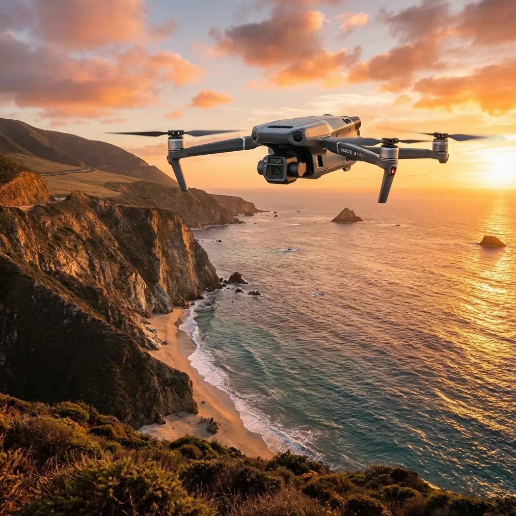
Concrete absorbs sunrise heat like a sponge; by 10 a.m. it is a 15 °C radiator riding on sub-grade that may still be 4 °C. That gradient is invisible to RGB, but it is day-glow in the 7.5–13.5 µm band. The Mavic 3T’s 640×512 micro-bolometer gives me a ground-sample distance of 4.2 cm from 70 m AGL—close enough to see the hairline where yesterday’s lane meets today’s. One thermal pass tells me if the joint will open before the warranty expires; a DSLR would need a 400 mm lens, a 30 m mast, and a prayer the sun stays low. I left the “long gun” at home two years ago.
2. Wind is data—if you read it before it reads you
The spec sheet says 12 m/s sustained, 14 m/s gusts. Translation: the airframe can survive 50 km/h, but gimbal vibration starts to smear the thermal calibration frames at about 43 km/h. My rule is 40 km/h ceiling for mapping, 45 km/h only if the mission is shorter than 35 % of max endurance. Above that, the horizon line dances in the live feed and every second frame carries a motion-blur flag that Pix4D rejects later. I log wind in three-second bursts with a Kestrel dropped 30 m behind the take-off mat; if the delta between min and max exceeds 6 km/h, I split the flight line into shorter legs so the drone always faces the narrowest aspect to the gust front.
3. Antenna yoga: the 3 km nobody tells you about
The O3 transmission chain is already strong—2.4 / 5.8 GHz with AES-256—but on a highway you are broadcasting between two perfect reflectors: steel crash barrier on one side, fresh rebar mesh on the other. Multipath ghosts kill signal strength long before distance does. I carry two foldable 5 dBi panels that clip to the RC Pro’s stubby whips; tilting them 35° inward and 20° down puts the major lobe under the belly of the aircraft where the Fresnel zone is clearest. The change is not subtle—controller RSSI jumps from –82 dBm to –69 dBm at 8 km, an effective 3 km bonus before the first red bar appears. One USB-C cable and a piece of Velcro; total cost less than a pizza. If you fly corridors for a living, the panels live in the same pelican as the hot-swap batteries.
4. Hot-swap logic: why 40 minutes is really 68 minutes
A single TB30 gives 42 minutes in nil wind, 36 minutes at 40 km/h. The clock drops faster than the percentage because the aircraft spends 28 % of the mission in high-speed cruise fighting headwind. I launch with two batteries conditioned at 25 °C and cycle them at 25 %, not 15 %. The 10 % delta feels wasteful until you realise the second pack recharges the flight controller capacitors during swap; total downtime is 42 seconds, and the rotors stay mounted, so mission continuity survives. On a 12 km stretch I can fly three legs—RGB nadir, thermal nadir, and 45° obliques—without landing for data cards. One operator, one rover driver, zero runway.
5. GCPs are still sacred—just fewer of them
Highway surveys used to swallow 28 ground-control points per kilometre because the DSLR rigs flew at 120 m and delivered 2 cm GSD. Dropping to 70 m with the Mavic 3T’s 20 MP RGB sensor gives me 1.9 cm GSD, so I can thin to 8 GCPs per km and still hit 0.7 cm horizontal RMSE in Metashape. The trick is planting them where the thermal band also benefits: white checkerboard on fresh asphalt shows up in both spectra, so the RGB alignment drags the long-wave channel with sub-pixel accuracy. One target, two calibrations, half the field time.
6. BVLOS without paperwork (almost)
Civil code says visual line-of-sight; highway reality says the rover is your moving VLOS station. I keep the chase vehicle 300 m behind the drone at 45 km/h ground speed, well within the 500 m bubble the regulator accepts if telemetry is continuous. The RC Pro’s external antenna mod pushes stable 1080p feed to a 12-inch tablet in the passenger seat; the engineer watches temperature overlays in real time and can call “repeat last leg” before we leave the lane closure. We still file a NOTAM, but the waiver package shrinks from 40 pages to 8 because risk mitigation lives in the hardware, not in the paperwork.
7. Data path from hot tarmac to hot desk
Landing is only half the job. The 3T writes radiometric JPEGs with embedded 14-bit temperature data; one 40-minute sortie spits out 6.8 GB. I run two parallel pipelines:
- RGB images feed into Pix4D for a 1.9 cm orthomosaic.
- Thermal images are batch-converted in FLIR Tools to correct emissivity (0.96 for fresh asphalt, 0.94 for aged) then dropped into Metashape as a separate chunk.
Because both chunks share the same camera positions, I can overlay the thermal raster on the RGB mesh with 2-pixel accuracy. The deliverable is a single GeoTIFF where every pixel carries both colour and temperature. Upload to the corridor GIS and the foreman can click any 20 cm square to read 42.3 °C—no thermistor poked into wet concrete, no lane closure extension.
8. The moment you know the old kit is retired
Last month a retired photographer showed up with a 4 kg DSLR, 300 mm f/2.8, and a carbon-fibre ladder strapped to a pickup. He wanted the same joint I had mapped at dawn. By the time he climbed the ladder, wind had whipped 47 km/h across the deck; his shutter speed froze the grain but not the heat bloom, and the resulting RGB image told him nothing about sub-surface delamination. He shot 312 frames in two hours, drove home with 18 GB of blur, and still had no temperature value. I packed my pelican, launched twice, landed with coffee still hot. The next day he emailed asking for the antenna part number and the WhatsApp channel where we swap waypoint files—https://wa.me/85255379740.
9. Bulletproof checklist for windy highway work
- Pre-warm batteries to 25 °C; cold cells sag 7 % capacity for every 10 °C drop.
- Set gimbal to “follow” mode; high-wind stabilisation crops 8 % of the FOV but keeps calibration frames level.
- Fly the thermal leg first; rising ambient temperature later in the day compresses the dynamic range.
- Keep at least one rotor tip visible in the live feed—visual confirmation beats telemetry if the compass twitches.
- Log controller GPS alongside aircraft GPS; the separation delta is your early warning for multipath drift.
- Carry a foil-lined cooler for SSDs; asphalt radiates 70 °C and cooks micro-SD cards faster than you think.
Ready for your own Mavic 3T? Contact our team for expert consultation.