Mavic 3T for Dusty Highway Work: Practical Field Tips When
Mavic 3T for Dusty Highway Work: Practical Field Tips When Conditions Change Fast
META: Expert tips for using the Mavic 3T on dusty highway projects, including thermal checks, O3 transmission, AES-256 security, battery strategy, and how to adapt when weather shifts mid-flight.
Highway work has a way of exposing weak workflows. Dust cuts visibility. Heat shimmer distorts surfaces. Traffic management compresses the available flight window. Then the weather changes halfway through a mission and suddenly every decision matters more than it did at takeoff.
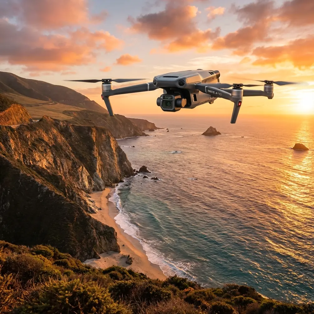
That is exactly where the Mavic 3T earns attention from serious field teams.
I have watched a lot of drone discussions drift into broad claims that do not help crews standing beside an active road corridor. The better question is simpler: how does the aircraft perform when a highway inspection or progress capture mission has to continue in dusty conditions, with shifting light, unstable air, and the need to deliver usable information fast? For teams operating the Mavic 3T, the answer lies less in marketing language and more in how its sensing stack, transmission reliability, and field procedures come together under pressure.
A useful lens for understanding that comes from what has been happening across the wider UAV industry. Recent coverage of the Zhuhai Airshow described a show floor with sharply increased overseas exhibitor participation and an unusually high number of first-time product and technology debuts. That matters because it signals something bigger than event buzz. It reflects a market where UAV operators are no longer impressed by novelty alone. Buyers and field managers want tools that hold up in real operational environments. When an industry showcase is crowded with new technology and first appearances, the products that stand out are the ones tied to repeatable field outcomes. For highway contractors, utilities, survey teams, and maintenance providers, that is the right standard to apply to the Mavic 3T.
Start with the mission, not the aircraft
For dusty highway work, the mission usually falls into one of four categories:
- corridor progress documentation
- surface and shoulder inspection
- drainage and embankment observation
- heat-related anomaly checks on surrounding infrastructure or equipment
The Mavic 3T can support each of these, but not with the same flight pattern or data priority. That is where many teams lose efficiency. They launch with a general objective, collect mixed imagery, and return with files that are difficult to process into decisions.
If the deliverable is photogrammetry, build the sortie around image consistency and planned overlap. If the deliverable is condition awareness, thermal signature and visual confirmation should drive the route. If the deliverable is a same-day field report for a superintendent, then speed of interpretation may matter more than dense reconstruction.
That distinction becomes even more important in dust.
Dusty corridors tend to punish low, slow, improvised flying. Fine particulate can reduce visual contrast and make minor defects harder to separate from surface noise. Midday heat also changes how some surfaces read thermally, especially asphalt, compacted soil shoulders, concrete barriers, and parked machinery. The Mavic 3T gives crews options, but those options only help if the operator decides before takeoff which sensor will answer which question.
Why thermal matters on a highway project
On a highway job, thermal is not a gimmick. It is a filtering tool.
The practical value of thermal signature is speed. Instead of treating the entire corridor as visually equal, you can use thermal contrast to identify areas that deserve closer attention. A drainage outlet behaving differently from surrounding ground, an overheated generator near a night-work staging area, or an area of unusual heat retention along a repair section can all justify a second look. Thermal does not replace physical inspection or engineering judgment, but it helps reduce blind searching.
The operational significance is straightforward: on long road alignments, the first challenge is not collecting data. It is narrowing the field of view to what matters. Thermal helps crews do that faster.
On dusty days, this becomes even more useful because visible imagery can become flatter than expected. The road may look uniformly dull from altitude, especially when haze and reflected glare combine. Thermal can reveal patterns that are harder to distinguish in the visual feed. For a site manager trying to decide where to send a ground crew next, that time saving is real.
Photogrammetry still depends on discipline
A lot of Mavic 3T users want one aircraft to handle both inspection and mapping. That is reasonable, but only if the team respects the requirements of each workflow.
Photogrammetry on highway projects lives or dies on consistency. You need stable altitude planning, clean overlap, and dependable reference if accuracy matters beyond a general visual model. That is where GCP strategy becomes important. Even on a dusty corridor, carefully placed GCPs can anchor the reconstruction and prevent the kind of drift that makes measurements less trustworthy near edges, grade transitions, or repeated surface textures.
The common mistake is assuming that because the drone is capable, the map will automatically be survey-ready. It will not. If your client needs volume comparisons, lane-edge verification, drainage grading context, or change detection over time, ground control should be planned, visible, and tied to a method the whole team understands.
The Mavic 3T helps by making it practical to carry one platform into a field assignment that may include both thermal observation and visual capture. But the aircraft does not replace a sound geospatial process. On highways, especially long dusty ones with repetitive surfaces, that process is what separates a persuasive model from a defendable one.
When weather changes mid-flight
This is where field confidence gets tested.
Imagine a late afternoon highway mission. Dust is already lifting from vehicle movement near an active work zone. You launch to document fresh grading along a corridor and to check several equipment staging points with thermal. Ten minutes in, the weather shifts. Wind picks up from the side of the alignment. The light drops behind a moving cloud bank. Dust hangs longer in the air instead of dissipating. The mission is still possible, but the assumptions you launched with are gone.
The right response is not stubbornness. It is adaptation.
With the Mavic 3T, one of the first things you notice in that moment is how valuable a stable link becomes. O3 transmission matters because confidence in the live feed affects every downstream decision. On a changing site, the operator needs a reliable view to judge whether dust is degrading the scene, whether the route should be shortened, and whether a second pass is better than forcing completion on the first one. A highway environment can introduce enough visual clutter on its own. Add wind-driven dust and shifting weather, and transmission reliability moves from convenience to mission-critical.
Operationally, this means you can make smarter adjustments in real time: increase margin from the shoulder, revise your angle on a suspected anomaly, or pause a thermal pass until dust clears enough to improve interpretation. The aircraft is not “defeating the weather.” What it is doing is preserving enough situational clarity for the pilot to keep making good decisions.
That same scenario also highlights battery planning. Hot-swap batteries are one of those workflow details that sound minor until conditions deteriorate. On a dusty highway, you often do not want a long reset between flights. You want to land, change power quickly, review what was captured, and relaunch while the site conditions are still relevant. If cloud cover moved in and changed the thermal profile of the scene, a delayed second sortie may produce data that no longer matches the first. Fast battery turnover protects continuity. It keeps the mission stitched together.
Security is not abstract in infrastructure work
Highway stakeholders are increasingly sensitive about data handling, and for good reason. Progress imagery, location-specific thermal captures, and infrastructure condition records are not the kind of files teams should treat casually.
AES-256 matters here because the question is not only whether a drone can collect data, but whether that data is handled in a way that fits real contractor and asset-owner expectations. If a team is surveying a logistics route, documenting bridge approaches, or inspecting roadside systems, secure transmission and storage policies are part of professional operations.
This is also where the broader market context from Zhuhai becomes relevant again. An event drawing significantly more overseas exhibitors and a flood of first-time technology showcases suggests a more competitive and more scrutinized UAV market. In that environment, trust signals become stronger differentiators. For end users, that means practical questions rise to the top: Is the link dependable? Is the workflow secure? Can the aircraft transition from inspection to mapping without creating process gaps? The Mavic 3T stays relevant because it addresses those questions in a package crews can actually deploy on a roadside schedule.
A field method that works better in dust
For teams delivering highway inspections or progress updates with the Mavic 3T, I recommend a sequence that keeps the data clean and the mission manageable.
First, walk the corridor segment before launch if access allows. Dusty sites change quickly, and assumptions made from a truck window are often wrong. Confirm where dust plumes are heaviest, where machinery is active, and where thermal readings may be influenced by parked equipment rather than the asset you care about.
Second, split the mission by purpose. Run the visual photogrammetry capture separately from the thermal interpretation pass whenever possible. Combining them into one improvised route usually reduces the quality of both. Mapping wants consistency. Thermal wants context and selective attention.
Third, use GCPs whenever the output needs defensible positional quality. This is especially true on long, repetitive road surfaces where software can struggle to maintain clean geometry without strong reference.
Fourth, watch the weather trend, not just the current condition. A stable-looking dusty site can become much less readable when cloud cover and crosswind arrive together. If you expect a shift, capture the most critical corridor segment first.
Fifth, preserve battery rhythm. Hot-swap discipline keeps separate sorties comparable and helps the team stay ahead of changing conditions. That is not only a convenience issue. On projects where the surface temperature profile matters, a twenty-minute delay can alter the story the data tells.
Sixth, use the live feed intelligently. O3 transmission should not tempt crews into overconfidence. Its value is better decision-making, not riskier flying. On a dusty highway, if the image starts to flatten and visual confidence drops, shorten the route and land with margin.
BVLOS talk needs realism
BVLOS is one of those terms that gets pulled into conversations too casually. On highway projects, people mention it because road corridors are long and operational efficiency matters. Fair enough. But for most commercial teams, the more immediate value is not unrestricted distance. It is building mission design, crew coordination, and data handling practices that could support more advanced operations when regulations, approvals, and organizational readiness align.
In other words, the Mavic 3T can help a team mature operationally even when every flight remains firmly within current civilian compliance requirements. If your highway workflow already depends on disciplined route planning, secure data management, reliable transmission, battery turnover, and repeatable outputs, you are building habits that scale. That is more valuable than throwing around BVLOS as a buzzword.
What makes the Mavic 3T practical here
The Mavic 3T is not interesting because it can do a little of everything. Plenty of aircraft make that promise. It is interesting because on real highway jobs it can compress multiple needs into one fieldable system without forcing crews into a bloated deployment model.
A superintendent may want a quick thermal look at a suspect area near roadside equipment. The survey lead may need consistent image capture for photogrammetry. The project manager may need secure handling of site records. The field team may need to relaunch quickly because dust and weather are changing by the minute. That combination is where the aircraft earns its place.
And that is why the current UAV market mood matters. When major trade events become hotter, more crowded, and packed with first-time technology reveals, the noise level goes up. Attention is easy to capture. Reliability is harder. The Mavic 3T remains useful because dusty infrastructure work does not reward novelty by itself. It rewards aircraft that fit the pace and friction of the job.
If your team is refining a highway workflow around thermal checks, mapping discipline, and weather-aware operations, there is real value in comparing mission setups with people who have done it in the field. One practical option is to message a Mavic 3T application specialist and pressure-test your plan before the next corridor deployment.
The best Mavic 3T results on highways usually come from small operational choices made early: deciding whether the sortie is about thermal filtering or photogrammetry, placing GCPs before the dust gets worse, preserving battery continuity, and recognizing when a weather change calls for a revised route instead of a forced finish.
That is what separates footage from usable field intelligence.
Ready for your own Mavic 3T? Contact our team for expert consultation.