Mavic 3T for Power-Line Delivery in Complex Terrain
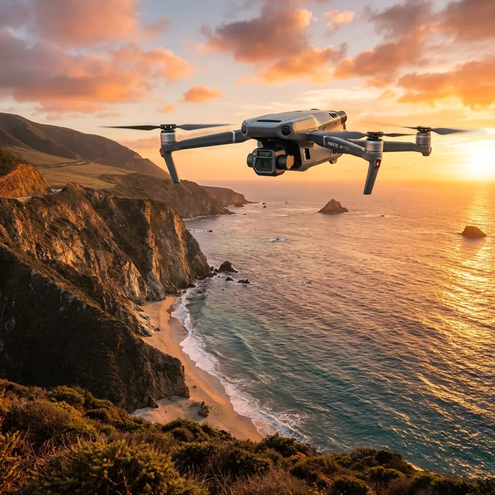
Mavic 3T for Power-Line Delivery in Complex Terrain: What Actually Matters in the Field
META: A field-driven look at using the Mavic 3T around power lines in difficult terrain, with practical workflow advice on thermal signature checks, O3 transmission, AES-256 security, battery planning, and why reliability thinking matters.
I’ve worked missions where the map looked manageable in the office and turned ugly the moment the aircraft lifted off. Ridge shadows killed visual contrast. Valleys distorted radio expectations. Access roads that existed on paper turned into washed-out tracks. When the job involves moving along power-line corridors in complex terrain, the drone is never just a camera. It becomes your scout, your verification tool, and sometimes the only practical way to understand what the line environment is doing before people or equipment move deeper into it.
That is the right lens for the Mavic 3T.
A lot of coverage around this aircraft drifts into broad specs. That misses the point. For utility teams, contractors, and training departments planning delivery or support operations around power lines, the Mavic 3T earns its place not because it is flashy, but because it compresses decision time. Thermal, visual, transmission stability, and workflow speed all come together in a way that matters when terrain is working against you.
Start with the real problem: terrain multiplies uncertainty
Delivering materials or support payloads near power infrastructure is rarely about straight-line flight. It is about maintaining situational awareness while the environment keeps changing. In mountainous or broken terrain, three issues tend to appear together:
- You lose clean visual reads because lighting changes fast.
- You lose confidence in line-of-sight assumptions because hills and vegetation interfere.
- You lose time every time the team has to stop and verify a route, a landing spot, or a heat-related anomaly.
The Mavic 3T addresses those pain points most effectively when you treat it as part of a structured workflow rather than just a flying sensor.
My preferred workflow with the Mavic 3T on utility delivery support
When I’m planning a power-line support mission in difficult ground, I break the work into four phases: pre-route scan, thermal verification, corridor modeling, and live overwatch during movement.
1) Pre-route scan
The first sortie is not about speed. It is about reducing surprises.
With the Mavic 3T, the value here is obvious: you can move quickly along the corridor, inspect approach paths, and identify terrain constraints before the main operation starts. Areas that look usable from satellite imagery often fail basic field criteria. A landing zone may be too uneven. A ridge saddle may produce turbulence. A service path may be blocked by vegetation or erosion.
This is where reliable transmission becomes operationally significant. O3 transmission is not a line-item spec to admire on a brochure. In complex terrain, it helps keep the aircraft usable when the environment is trying to degrade link quality. That matters because route validation is only useful if the pilot can maintain a stable, confidence-inspiring feed while repositioning around terrain breaks and structure clutter.
2) Thermal verification
Power-line work often hides its real problems in temperature, not shape.
A visual pass may show no obvious issue, while thermal imagery reveals a connector heating unevenly, a stressed component, or a patch of ground where equipment recently operated. For delivery support, this can guide where a crew should avoid staging, where attention is needed before a handoff, or whether a route segment needs a second look before people move in.
The phrase “thermal signature” gets overused, but in utility work it has practical weight. If you are approaching a remote segment and trying to decide whether conditions are normal, the Mavic 3T’s thermal capability gives you an additional layer of truth. It helps teams distinguish between what looks accessible and what is actually active, stressed, or worth caution.
That is a major reason this aircraft is more than a standard visual-inspection platform.
Why reliability thinking matters more than most drone operators admit
One of the more interesting references in the source material had nothing to do with drones directly. It came from aircraft system design and discussed fuel pump architecture. The lesson was simple and timeless: a single-pump system is lighter and easier to maintain, but reliability is lower because one failure can interrupt the whole supply chain. By contrast, multi-pump arrangements are heavier and more complex, yet they preserve function when one unit fails.
That engineering logic carries over surprisingly well to power-line drone operations.
No, the Mavic 3T does not use the same fuel system. But the operational principle is identical: if your mission depends on one fragile assumption, your plan is weak. In the field, I apply this by building redundancy around the aircraft:
- duplicate route files
- alternate launch points
- reserve batteries
- separate thermal and visual verification passes when needed
- a fallback comms plan for terrain-blocked sectors
This is where hot-swap battery discipline becomes more than convenience. Every battery transition is a chance to preserve momentum. On a corridor mission, delays compound. If your team can cycle aircraft power quickly and relaunch without rebuilding context, you keep the operational picture alive. The aircraft is only one part of reliability. The workflow around it is the rest.
The same aircraft design reference also highlighted maintainability: systems should be installed so they can be removed and serviced easily, and in larger fuel tanks above 3700 L, pumps should ideally be removable without draining the tank. The drone-world translation is direct. Equipment that is easy to inspect, swap, and return to service wins in rugged utility operations. In rough terrain, elegant field maintenance practices save more missions than theoretical performance margins ever will.
Materials and heat: a quiet lesson utility teams should respect
Another source reference dealt with aerospace material standards, including silicone tubing tolerances and protective sleeving rated from -30 C to 150 C. That may sound far removed from a compact enterprise drone, but it reinforces a field reality utility crews understand immediately: harsh temperature swings punish weak components first.
In power-line environments, aircraft and accessory reliability are affected by cold starts, midday heat, dust, and repeated transport. The material reference specifically noted that defects like cracks and bubbles are not acceptable in critical tubing, and even surface pitting deeper than 0.2 mm crosses the line. Why does that matter here? Because it reminds operators to stop treating cables, connectors, insulation, and battery interfaces as afterthoughts.
On Mavic 3T deployments, I regularly see teams obsess over flight settings while ignoring the condition of support gear. Damaged charging leads, stressed cable jackets, and poorly protected field electronics are mission-killers. The aerospace standard’s temperature range of -30 C to 150 C is not a drone spec, but the lesson is useful: thermal resilience and material integrity are what keep operations routine instead of chaotic.
If your team is staging in steep, exposed terrain, inspect the whole system, not just the aircraft.
Using photogrammetry and GCPs without overcomplicating the job
The Mavic 3T is often discussed mainly as a thermal platform, but that leaves value on the table. For power-line delivery support, photogrammetry can help teams model terrain pinch points, identify safe staging zones, and produce a more realistic understanding of corridor access.
You do not always need survey-grade complexity. But when the terrain is deceptive, adding GCPs to selected sections can tighten confidence in your map outputs. That is useful when you need to compare possible routes for crews, small support payloads, or material placement near towers and line structures.
The trick is knowing when not to overbuild the workflow.
If the immediate mission is rapid route confirmation after weather or erosion, a fast reconnaissance pass may be enough. If the operation involves repeated site access over weeks, then investing in a cleaner terrain model makes sense. The Mavic 3T supports that middle ground well: quick enough to be practical, capable enough to generate actionable structure.
Security matters when infrastructure data leaves the field
Utility data is sensitive even when it is not classified. Route imagery, tower conditions, thermal anomalies, and corridor access points all have operational value. That is why AES-256 belongs in the conversation.
Again, this is not a decorative feature. If you are collecting data around critical civilian infrastructure, secure transmission and secure handling practices should be standard. The Mavic 3T fits well into organizations that need to control how footage is transmitted, stored, and reviewed. For contractors, it also helps when clients ask the right question: how is this data being protected?
That question is coming up more often, and rightly so.
What the Mavic 3T changes in a difficult mission
The best way to explain this is through a common field scenario.
A team needs to support a line segment that cuts across broken ground with limited road access. The initial plan assumes one access route from the south and a staging area near a service clearing. On arrival, the clearing is softer than expected, the road edge has degraded, and afternoon heating has changed the visual appearance of several components along the corridor.
With a basic drone, you get imagery. With the Mavic 3T, you get decisions faster.
You can:
- verify whether the clearing is usable
- compare alternate approach paths
- check for thermal irregularities before sending people in
- maintain workable situational awareness as terrain interferes with easy visual control
- restart sorties quickly as battery cycles continue
That combination saves time, but more than that, it reduces avoidable exposure. Fewer blind approaches. Fewer unnecessary repositionings. Better planning for the next movement.
A note on BVLOS planning
BVLOS is often discussed as if it is a switch you simply turn on. In reality, especially around power-line corridors, BVLOS readiness is a systems question. Aircraft capability is only one layer. Terrain analysis, comms strategy, observer planning, risk controls, and operational approvals all matter.
The Mavic 3T can support organizations moving toward more advanced corridor workflows, but teams should be realistic. If you are not already disciplined in preflight structure, link management, battery rotation, and contingency planning, BVLOS ambitions will expose those weaknesses very quickly.
Start by mastering short, structured corridor segments. Build repeatable habits. Then expand.
Where human experience still beats automation
The most valuable habit I’ve developed with the Mavic 3T is resisting the urge to trust the first clean-looking picture. In complex terrain, one pass can lie to you. Shadows hide slope. Heat bloom distorts interpretation. A neat-looking path can become useless 200 meters later.
So I cross-check:
- visual against thermal
- map assumptions against live observation
- route optimism against battery margin
- signal confidence against terrain reality
That is where this aircraft shines. It gives you enough layers of information to challenge your own assumptions before the field does it for you.
If you’re building a practical utility workflow around the Mavic 3T
Keep it simple and disciplined.
Use the first sortie to remove uncertainty, not to chase perfect imagery. Use thermal deliberately, not constantly. Let O3 transmission support smarter positioning, not reckless overreach. Protect your data with AES-256-aware workflows. Treat batteries, cables, and field accessories as reliability items, not expendables. And if you need help shaping a terrain-specific workflow, you can message an experienced team here.
That is how the Mavic 3T becomes genuinely useful for power-line delivery support in difficult ground. Not because it promises magic, but because it helps experienced teams see more, verify faster, and make fewer expensive mistakes.
Ready for your own Mavic 3T? Contact our team for expert consultation.