Mavic 3T Guide: Filming Mountain Construction Sites
Mavic 3T Guide: Filming Mountain Construction Sites
META: Master mountain construction filming with the Mavic 3T. Expert techniques for thermal imaging, photogrammetry workflows, and handling unpredictable weather conditions.
TL;DR
- Thermal signature detection identifies temperature differentials across concrete pours and equipment, even through morning fog
- O3 transmission maintains stable video feed up to 15km in mountainous terrain with signal obstacles
- Hot-swap batteries enable continuous filming sessions exceeding 4 hours on complex sites
- Built-in AES-256 encryption protects sensitive construction data during transmission and storage
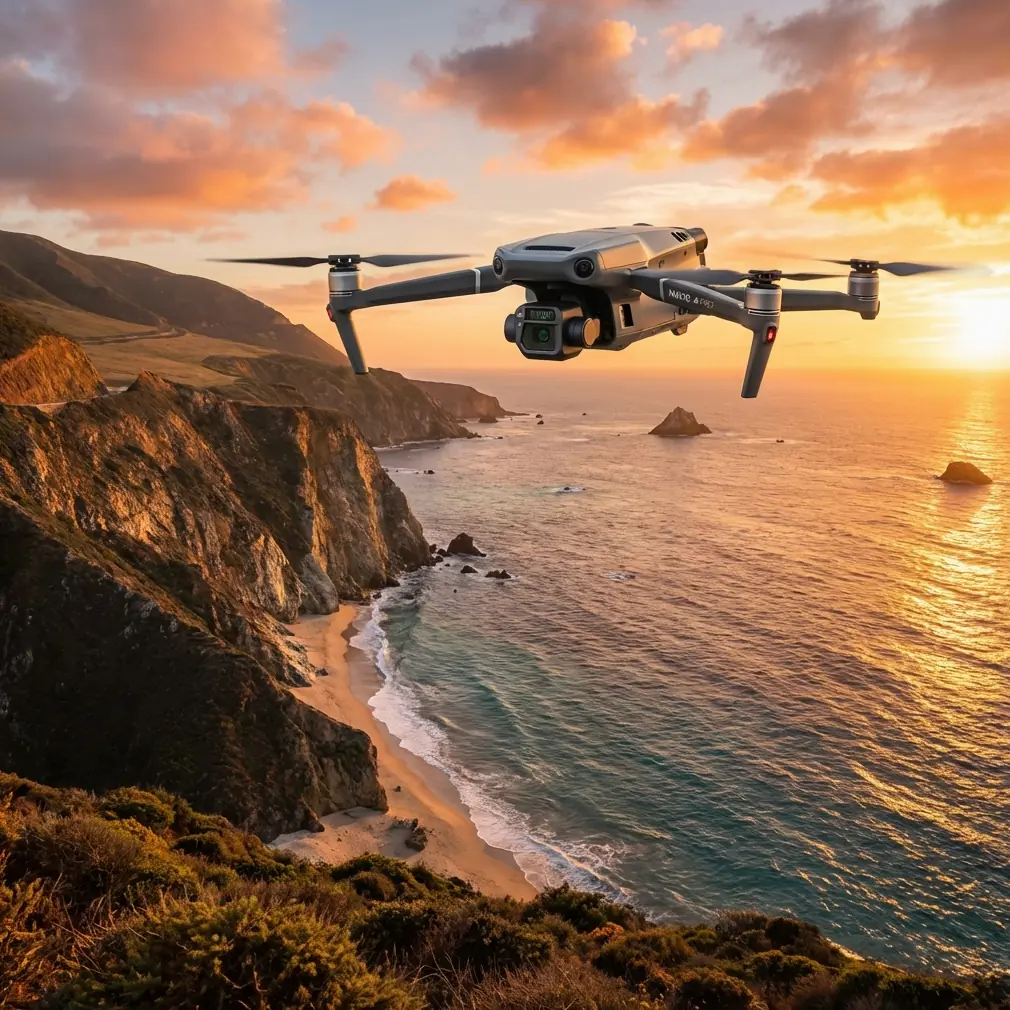
Mountain construction sites present unique filming challenges that ground-based documentation simply cannot address. The DJI Mavic 3T combines a 48MP wide camera, 12MP zoom lens, and 640×512 thermal sensor in a compact airframe designed specifically for enterprise inspection and mapping workflows.
This guide walks you through proven techniques for capturing comprehensive construction documentation in alpine environments—including the critical moment when weather conditions shift unexpectedly mid-flight.
Understanding the Mavic 3T's Triple-Sensor Advantage
The Mavic 3T distinguishes itself from consumer drones through its integrated sensor array. Each camera serves a specific documentation purpose on construction sites.
Wide Camera Applications
The 1/2-inch CMOS sensor captures 48MP stills with exceptional dynamic range. For construction documentation, this translates to:
- Readable text on safety signage from 100m altitude
- Clear identification of rebar spacing in foundation work
- Accurate color representation for material verification
- 4K/60fps video for stakeholder presentations
Thermal Imaging for Quality Control
The uncooled VOx microbolometer detects temperature variations between -20°C and 150°C. On mountain construction sites, thermal signature analysis reveals:
- Concrete curing anomalies invisible to standard cameras
- Insulation gaps in building envelope construction
- Equipment overheating before mechanical failure
- Water infiltration paths after precipitation events
Expert Insight: Schedule thermal flights during the first two hours after sunrise. The temperature differential between materials and ambient air creates maximum contrast for detecting construction defects. Mountain sites cool rapidly overnight, making this window even more critical than lowland locations.
Zoom Lens for Detail Capture
The 12MP telephoto provides 56× hybrid zoom, enabling close inspection without positioning the aircraft near active work zones. This capability proves essential for:
- Weld inspection on structural steel
- Fastener verification on scaffolding systems
- Crack documentation on existing structures
- Safety compliance audits from safe distances
Pre-Flight Planning for Mountain Sites
Successful mountain construction filming requires meticulous preparation. Altitude, terrain, and weather patterns demand respect.
Establishing Ground Control Points
Photogrammetry accuracy depends entirely on proper GCP placement. For mountain sites, follow these protocols:
- Place minimum 5 GCPs visible from planned flight paths
- Use high-contrast targets (black and white checkerboard pattern)
- Record RTK coordinates for each point before flight
- Avoid GCP placement on unstable surfaces or active work areas
- Verify GCP visibility from planned altitude using the zoom lens
Flight Planning Considerations
Mountain terrain creates unique challenges for automated flight paths:
| Factor | Lowland Sites | Mountain Sites |
|---|---|---|
| Altitude variance | Minimal | Up to 500m within single site |
| GPS accuracy | Consistent | Variable near cliff faces |
| Wind patterns | Predictable | Turbulent, direction shifts |
| Signal obstacles | Buildings only | Rock formations, tree cover |
| Temperature range | Moderate | Extreme daily variation |
The Mavic 3T's RTK module compatibility addresses positioning challenges, achieving centimeter-level accuracy even in complex terrain.
Executing the Mountain Construction Flight
Last September, I documented a telecommunications tower installation at 2,800m elevation in the Colorado Rockies. The project required weekly progress documentation across a 12-hectare site with 340m of elevation change.
Initial Site Survey
The morning began clear with 8km visibility and light winds from the southwest. I established a launch point on stable ground with clear sightlines to the primary work areas.
The flight plan included:
- Nadir passes at 80m AGL for orthomosaic generation
- Oblique captures at 45-degree angles for 3D modeling
- Thermal sweeps across the previous day's concrete pours
- Detail orbits around the tower foundation
Weather Transition Mid-Flight
Forty minutes into the planned 90-minute mission, conditions changed rapidly. A cloud bank rolled over the western ridge, dropping visibility to under 1km within minutes. Temperature fell 8 degrees in the same timeframe.
The Mavic 3T's response demonstrated why enterprise-grade equipment matters for professional work.
O3 transmission maintained solid connection despite moisture in the air. The system automatically adjusted transmission power and frequency hopping to compensate for atmospheric interference.
The obstacle avoidance sensors continued functioning in reduced visibility, detecting a cable installation I had not mapped during pre-flight planning. The aircraft stopped 3m from the obstacle and awaited input.
Pro Tip: Always enable APAS 5.0 in complex environments, but set it to "Brake" rather than "Bypass" mode. In mountain terrain, automatic obstacle avoidance maneuvers can position the aircraft in worse situations. Manual control after detection gives you decision authority.
I initiated return-to-home, and the aircraft navigated back using its recorded flight path rather than direct line—critical when terrain obstacles exist between position and launch point.
Completing the Mission
After the weather cleared 47 minutes later, I resumed documentation with fresh batteries. The hot-swap battery system meant no recalibration or restart procedures. The aircraft retained its mission progress and continued from the last completed waypoint.
Total documentation captured that day:
- 2,847 geotagged images across all three sensors
- 23 minutes of 4K video for stakeholder review
- Complete thermal survey of curing concrete
- Full photogrammetry dataset for volumetric calculations
Post-Processing Workflows
Raw capture represents only half the documentation process. Proper processing transforms images into actionable construction intelligence.
Photogrammetry Processing
The Mavic 3T's mechanical shutter eliminates rolling shutter distortion common in consumer drones. This produces cleaner point clouds with fewer artifacts.
Processing steps for construction photogrammetry:
- Import images with embedded GPS data
- Align GCP markers to surveyed coordinates
- Generate dense point cloud at high quality setting
- Build mesh for volumetric calculations
- Export orthomosaic at 2cm/pixel resolution
Thermal Data Analysis
Thermal imagery requires different handling than RGB captures. The Mavic 3T outputs RJPEG format containing both visual image and radiometric temperature data.
For construction quality control:
- Set consistent temperature scale across all images
- Identify anomalies exceeding 3°C variance from surrounding material
- Document timestamp and ambient conditions for each capture
- Generate comparison reports against previous survey dates
BVLOS Considerations for Large Sites
Mountain construction sites often exceed visual line of sight limitations. While regulations vary by jurisdiction, the Mavic 3T's capabilities support BVLOS operations where permitted.
Key enabling features include:
- O3 transmission with 15km maximum range
- AES-256 encryption for secure command and control
- ADS-B receiver for manned aircraft awareness
- Redundant GPS with GLONASS and Galileo support
- Automatic return-to-home on signal loss
Always verify local regulations and obtain necessary waivers before conducting BVLOS operations.
Common Mistakes to Avoid
Ignoring wind gradient effects: Mountain sites experience dramatically different wind speeds at various altitudes. Conditions at launch may not reflect conditions at 100m AGL. Monitor telemetry continuously.
Insufficient battery reserves: Cold temperatures reduce battery performance by up to 30%. Plan missions assuming reduced capacity and maintain minimum 25% reserve for return flight.
Overlooking magnetic interference: Metal structures, heavy equipment, and mineral deposits affect compass calibration. Recalibrate at each new launch location and monitor for compass warnings.
Skipping pre-flight thermal sensor calibration: The thermal camera requires flat field calibration for accurate readings. Allow 5 minutes after power-on before capturing critical thermal data.
Neglecting data backup protocols: Construction documentation often has legal significance. Implement redundant backup immediately after each flight—SD card failure destroys irreplaceable evidence.
Frequently Asked Questions
How does the Mavic 3T perform in cold mountain temperatures?
The aircraft operates reliably down to -20°C with proper battery management. Pre-warm batteries to above 20°C before flight, and expect approximately 20-25% reduction in flight time at extreme cold. The thermal sensor actually performs better in cold conditions due to increased temperature differential between subjects and background.
Can the Mavic 3T replace traditional ground-based surveying for construction sites?
The Mavic 3T complements rather than replaces ground surveying. Photogrammetry achieves 2-3cm accuracy with proper GCP placement, suitable for progress documentation and volumetric calculations. Legal boundary surveys and precision layout still require traditional methods. The combination of aerial and ground data produces the most comprehensive site documentation.
What file formats does the Mavic 3T output for professional workflows?
The wide camera captures DNG raw files for maximum post-processing flexibility. The thermal sensor outputs RJPEG containing embedded radiometric data compatible with FLIR Tools and similar analysis software. Video records in H.264 or H.265 codecs at up to 200Mbps bitrate. All files include comprehensive EXIF data including GPS coordinates, altitude, gimbal angle, and camera settings.
Ready for your own Mavic 3T? Contact our team for expert consultation.