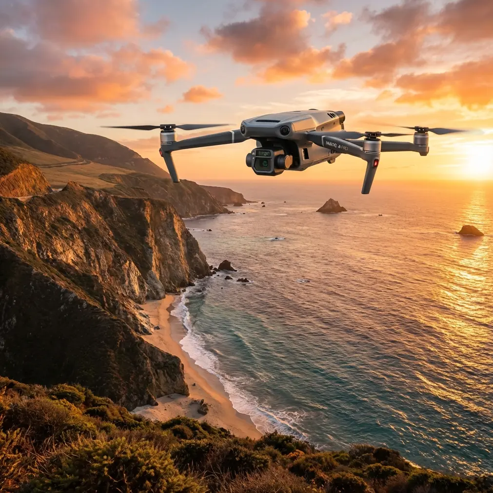
Filming Windy Construction Sites with the Mavic 3T
Filming Windy Construction Sites with the Mavic 3T: What Actually Matters in the Air
META: A practical expert guide to using the DJI Mavic 3T for windy construction site filming, thermal inspection, and reliable data capture when weather shifts mid-flight.
Construction sites rarely give you ideal flying conditions. Open steel frames create turbulence. Tower cranes disrupt airflow. Heat rises off fresh concrete and roofing membranes. Then the weather changes halfway through the mission, which is usually when the client still needs sharp visuals, usable thermal data, and a complete record of progress without a second site visit.
That is where the Mavic 3T becomes interesting.
Not because it is marketed as a thermal platform, but because it solves a very specific field problem: capturing visual and thermal site intelligence quickly when conditions are less stable than the flight plan suggested an hour earlier. For construction teams filming in wind, the aircraft’s value is not a single headline feature. It is the way several systems work together under pressure: a stabilized camera payload, O3 transmission for situational awareness, AES-256 protection for sensitive project data, and a battery workflow that supports fast turnarounds when weather windows are short.
I have seen this play out on active commercial builds where the assignment starts as a routine progress capture flight and turns into something more demanding. The wind picks up. Dust starts moving across the slab. A dark cloud edge pushes in. Suddenly the mission is no longer about getting nice footage. It becomes about getting reliable footage, holding framing around structures, and deciding whether thermal imagery still has value before conditions degrade further.
The real problem with windy construction filming
Most people think wind mainly affects smoothness. That is only part of it.
On a construction site, wind changes what you can trust. It affects hover precision near vertical surfaces. It increases the pilot’s workload when trying to maintain repeatable camera paths. It can ruin the consistency needed for photogrammetry if overlap starts to suffer. Even when the aircraft remains safe and controllable, variable gusts can force wider standoff distances, which changes angle, parallax, and the quality of the deliverables.
Now add thermal work into the same mission profile.
If you are inspecting roofing moisture, checking facade anomalies, or comparing heat patterns across mechanical systems, thermal signature interpretation depends on timing and consistency. Wind can cool surfaces unevenly. Passing cloud cover can change apparent contrast. Mid-flight weather shifts do not just make flying harder; they can alter the meaning of the data you are collecting.
That is why the Mavic 3T deserves to be judged less as a simple camera drone and more as a field tool for mixed-condition documentation.
Why the Mavic 3T fits this job better than many crews expect
The Mavic 3T sits in a useful middle ground. It is portable enough to launch quickly around active projects, yet advanced enough to support dual-purpose missions where you need standard visual footage and thermal imagery on the same sortie.
For construction teams, that combination matters. A superintendent may ask for cinematic progress visuals, while the facilities consultant wants a thermal pass on a newly installed roof section. Sending one aircraft to do both reduces setup time, site disruption, and pilot fatigue. On a windy day, that efficiency matters even more, because every extra minute on the ground or in the air narrows your margin.
The O3 transmission system is one of the overlooked advantages here. On cluttered job sites with rebar, temporary offices, machinery, and multi-story structures, maintaining a stable live feed is not a luxury. It directly affects your decision-making. If wind starts shifting the aircraft while you are framing a facade inspection route, a dependable transmission link helps the pilot read drift earlier and adjust before the camera move falls apart. In practical terms, stronger situational awareness means fewer broken passes and less need to repeat shots in worsening conditions.
Then there is AES-256 encryption. That may sound abstract until you are flying over a commercial development, utility upgrade, or sensitive industrial build where image data includes access roads, structural details, and proprietary installation progress. Secure transmission and data handling are not just IT talking points. They are operationally significant when your deliverables may be shared among contractors, asset owners, and consultants who care about project confidentiality.
What happened when the weather turned mid-flight
A realistic Mavic 3T construction mission often starts calmly and ends with compromises. The goal is choosing the right compromises.
Picture a late afternoon progress shoot on a mid-rise build. The first segment goes as planned: slow oblique passes around the concrete frame, close visual work on envelope installation, and a thermal sweep over rooftop mechanical zones. The air is moving, but nothing unusual. Then, halfway through the flight, the weather shifts.
A gust line rolls in ahead of a shower cell. Wind speed becomes less predictable. One side of the building is still manageable, but the exposed corner nearest the open staging yard starts producing uneven turbulence. You can see it in the aircraft corrections and in the tiny framing changes that would be easy to miss if your live transmission were unstable.
This is where the Mavic 3T’s practical strengths show up.
First, the pilot can continue collecting useful visual footage because the aircraft remains composed enough to hold disciplined flight lines rather than devolving into survival-mode corrections. Second, thermal priorities can be reassessed on the fly. If cloud cover is changing the thermal contrast on the roof, the operator can decide to finish the highest-value thermal targets first instead of forcing a full original route. Third, if the site needs one more sortie after the squall edge passes, battery management becomes critical.
That is where crews often underestimate the value of a hot-swap style workflow, even if they use the term loosely in the field. The Mavic 3T benefits from fast battery rotation and minimal turnaround time. On weather-sensitive missions, that can be the difference between capturing the final needed dataset in the next calm pocket or losing the opportunity entirely. You do not need a long reset. You need a disciplined landing, a quick battery change, and a revised mission plan.
Thermal is not just an extra camera on a construction site
The thermal side of the Mavic 3T is often misunderstood by teams that focus only on visual marketing footage.
On active construction projects, thermal data can reveal issues that are invisible in RGB video. Roof moisture assessment is the obvious example, but it is not the only one. You can also use thermal imagery to compare heat behavior around building envelope sections, identify irregularities around mechanical installations, and document changing conditions over time. The catch is that thermal interpretation is highly dependent on conditions, and wind is one of the variables that can distort your reading of a surface.
That operational significance matters. A thermal signature captured before the weather shift may be more trustworthy than one captured ten minutes later after wind and cloud cover disrupt the surface pattern. An experienced operator does not simply keep flying because the aircraft can. They reorder the mission based on what the data will mean after landing.
This is why the Mavic 3T works well for expert crews. It allows visual and thermal collection in one compact platform, but it still rewards good judgment. It is not a shortcut around environmental physics. It is a tool that helps you make better decisions when the environment becomes less cooperative.
Construction filming is often a data job disguised as a video job
Clients say they want footage. Often they actually need evidence.
They need proof that cladding is progressing on schedule. They need a roof condition baseline before handover. They need repeatable imagery that can support coordination meetings. And sometimes they need map-grade outputs to compare earthworks, stockpiles, or staging changes.
This is where photogrammetry enters the conversation. While the Mavic 3T is widely associated with thermal inspection, it can also fit into site documentation workflows where consistent imagery matters. In windy conditions, though, photogrammetry gets less forgiving. Overlap consistency, camera angle control, and path discipline all become harder to maintain. If your team is relying on GCP-backed outputs for higher positional confidence, the aircraft still has to capture stable, repeatable source images for those ground control points to be worth the effort.
That is the practical takeaway: wind does not just make the aircraft move around. It degrades the chain of trust from capture to deliverable.
A pilot using the Mavic 3T on a construction site should think in layers:
- Can I safely hold the planned route?
- Will the RGB footage still be consistent enough for progress comparison?
- Is the thermal signature still meaningful under the current weather change?
- If photogrammetry is part of the mission, will this image set support a clean model, especially if tied to GCPs?
Those questions separate professional outputs from flights that merely look busy.
Transmission range and security matter more on real job sites than in spec sheets
The mention of O3 transmission and AES-256 can sound like brochure material until you are working near interference sources and handling sensitive project media.
On a large construction site, maintaining a robust downlink helps the crew adapt to changing wind and obstructions without overcommitting the aircraft. You can reposition, pause, and review framing with confidence instead of guessing through signal instability. That directly reduces unnecessary flight time, which matters when battery reserves are part of your safety margin in gusty weather.
Security is equally practical. Construction footage often captures neighboring assets, worker patterns, staging logistics, and project sequencing. Thermal imagery can add another layer of operational sensitivity. AES-256 support is not exciting in the cinematic sense, but it is exactly the kind of feature that serious commercial operators and project stakeholders appreciate once the conversation turns to data governance.
What the Mavic 3T does not fix
No aircraft removes the need for judgment.
The Mavic 3T does not make poor weather planning acceptable. It does not turn weak thermal conditions into reliable analysis. It does not guarantee photogrammetry quality if the wind is strong enough to disrupt image geometry and overlap. It also does not eliminate regulatory constraints. If your project team starts discussing BVLOS ideas for larger linear site coverage or off-site logistics visibility, that conversation belongs inside the appropriate civil aviation framework and operation approval process, not in casual mission creep.
What the aircraft does provide is a strong platform for construction professionals who need to capture more than beauty shots. It gives you a compact system that can document, inspect, and verify, even when the weather becomes less predictable than the morning briefing suggested.
A smarter way to approach windy site missions
If you are planning to film a construction site with the Mavic 3T in marginal wind conditions, think less about “getting the flight done” and more about sequencing the mission around data value.
Start with the most weather-sensitive thermal targets while conditions are stable. Move to your critical visual passes next, especially any repeatable progress angles the client expects every week. If mapping or photogrammetry is part of the assignment, decide early whether the wind still supports the overlap quality you need. Use your live O3 feed actively, not passively. Watch for subtle drift and framing inconsistency before they cascade into unusable outputs. Keep battery swaps fast and disciplined so you can exploit short calm windows rather than wasting them on ground delays.
And when the weather shifts mid-flight, do not chase the original plan. Rebuild the mission around what will still be usable.
That is the real strength of the Mavic 3T on construction work. It supports the operator who understands that aerial filming, thermal inspection, and site documentation are all versions of the same job: collecting information that still matters after the drone lands.
If you are comparing mission setups or need a second opinion on construction workflows, you can message an experienced team here and discuss the site conditions before you fly.
The Mavic 3T is not interesting because it can survive a windy day. Plenty of aircraft can stay airborne. It is interesting because it can keep producing useful visual and thermal outputs when a construction mission starts shifting from straightforward filming into real field decision-making.
That is what makes it a serious tool for commercial site work.
Ready for your own Mavic 3T? Contact our team for expert consultation.