Mavic 3T Filming Tips for Urban Construction Sites: Range
Mavic 3T Filming Tips for Urban Construction Sites: Range, Angles, and Data You Can Trust
META: Practical Mavic 3T filming tutorial for urban construction sites, with expert advice on antenna positioning, transmission reliability, thermal use, and operational geometry that improves results.
Urban construction work is unforgiving to sloppy drone technique.
Steel, glass, cranes, temporary structures, rebar mats, rooftop plant, and narrow flight corridors all interfere with the two things Mavic 3T operators care about most: signal stability and usable footage. If the mission is progress documentation, roof inspection, façade review, or thermal spot-checking, “good enough” flying usually creates weak deliverables. You get dropouts, inconsistent framing, bad overlap, and thermal imagery that raises more questions than it answers.
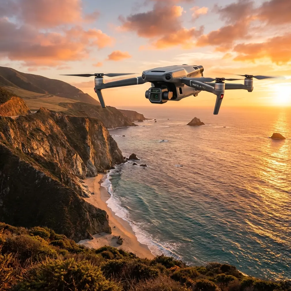
The Mavic 3T is a strong platform for this environment, but only if the operator thinks like both a pilot and a field engineer. That means understanding not just the aircraft’s imaging stack, O3 transmission behavior, and thermal signature capture, but also the geometry behind stable positioning and repeatable camera movement.
I want to focus on one practical theme that makes a measurable difference on urban jobs: antenna positioning for maximum range and cleaner link quality. Then I’ll connect that to flight angles, thermal use, photogrammetry discipline, and why a few seemingly abstract engineering numbers matter in the real world.
Why urban construction sites punish poor signal habits
A wide-open agricultural field lets pilots get away with lazy controller handling. A city site does not.
On a construction project, the signal path is constantly challenged by:
- reflective curtain wall glass
- concrete cores
- steel framing
- tower cranes
- mechanical penthouses
- temporary fencing and stacked materials
- nearby RF congestion from dense buildings and telecom infrastructure
With the Mavic 3T, O3 transmission is capable and resilient, but physics still wins. A weak antenna orientation can turn a stable urban inspection into a hesitant stop-start flight with bitrate drops and delayed control response.
Most range problems on construction sites are not really about absolute distance. They are about obstruction, multipath reflection, and poor antenna alignment.
That is why antenna positioning matters more in the city than many operators realize.
The antenna mistake I see most often
Pilots point the controller antennas directly at the aircraft as if they are aiming a flashlight.
That is usually the wrong instinct.
For the best link, you generally want the broad face of the antenna pattern presented toward the aircraft, not the antenna tips pointed at it. In plain terms, don’t “spear” the drone with the antenna ends. Keep the flat orientation working for you.
On urban builds, I recommend three habits:
1. Keep your chest and controller facing the aircraft
Your body can attenuate signal. If you twist sideways while watching the screen, you often reduce link margin without noticing it. Face the aircraft whenever possible, especially when the drone is low along a façade line or partly masked by structural elements.
2. Adjust for height, not just direction
If the Mavic 3T climbs above your position to inspect curtain wall transitions, roof parapets, or crane tie-ins, many pilots leave the antennas fixed in a level position. Instead, tilt the controller so the antenna faces remain properly presented to the aircraft’s elevation angle.
3. Reposition yourself early
If a concrete core or steel deck edge starts to obstruct line of sight, move before the signal degrades. Ten steps to the side can restore a clean path. On a site walk, I usually identify two or three “signal-safe” operating stations before launch.
This sounds basic, but it directly affects your footage. Stable transmission means smoother manual inputs, better orbit consistency, fewer pauses in façade passes, and more confidence when gathering thermal and visible imagery on the same run.
Why geometry matters more than people think
There is an overlooked lesson hidden in the engineering references behind aircraft design and mechanism layout: small changes in axis orientation produce large differences in motion outcome.
One source segment calculates directional components for a rotational axis with values of 0.9970, 0.0642, and -0.0431. Another section derives a root value of 102.296, then uses that geometry to determine a rotation relationship leading to sin p = 0.7219, corresponding to an angle of about 46.211°. At first glance, that looks far removed from a Mavic 3T flight over a city project.
It isn’t.
Those figures matter because they illustrate a field truth: orientation governs behavior. If a pivot axis is slightly off, the motion path changes. If an aircraft is slightly off-axis to a façade, your parallax changes. If your controller antennas are slightly misaligned in a reflective urban canyon, your transmission consistency changes.
For a Mavic 3T operator filming construction sites, this has direct operational significance:
- a few degrees of heading error can ruin overlap for photogrammetry
- a poor viewing angle can distort crack documentation or cladding alignment review
- incorrect thermal perspective can exaggerate or hide anomalies
- weak antenna geometry can shorten practical range long before battery becomes the limit
This is why good operators are obsessive about angles.
Best antenna positioning method for maximum urban range
Here’s the field method I teach crews.
Step 1: Stand where the site opens up
Before takeoff, choose a position with the clearest possible line of sight to the main work zone. Avoid standing tight against concrete walls, inside vehicles, beneath scaffold wraps, or under metal canopies.
If you have to inspect two sides of a building, don’t insist on doing the whole mission from one point. Break the operation into segments and relocate.
Step 2: Raise the controller slightly above waist level
Too low, and parked vehicles, barriers, and materials stacks begin to compete with your signal path. Keep the controller naturally elevated and unobstructed.
Step 3: Present antenna faces toward the aircraft
Think broadside, not point-first. As the drone climbs or shifts laterally, rotate your upper body and controller together. Make smooth adjustments rather than sudden swings.
Step 4: Watch video quality as an early warning
On urban sites, the first sign of poor antenna alignment is often not a dramatic disconnection. It’s subtle. The live view may soften, stutter, or briefly lag. Correct orientation immediately before the issue compounds behind concrete or steel.
Step 5: Avoid letting the drone descend behind structure edges
Signal loss often happens near roof lines, slab edges, and parapets. If the Mavic 3T is dropping down the far side of a structure, climb slightly, move your ground position, or alter the approach to preserve a cleaner path.
This is especially relevant if you’re filming progress sequences intended for client comparison week after week. Transmission interruptions create inconsistent framing, and inconsistent framing weakens the value of the record.
Using the Mavic 3T properly on construction documentation flights
The Mavic 3T is not just a flying camera for beauty shots. On urban construction work, it becomes a documentation tool. That changes how you should fly it.
Fly repeatable lines, not casual arcs
If a superintendent, project manager, or façade consultant wants progress evidence, they need consistency. Use repeatable flight paths from the same launch points and similar altitude bands. This is where antenna discipline supports better output: your control inputs stay steady because your link stays clean.
Build visible and thermal passes separately
The thermal payload is useful for identifying moisture intrusion patterns, insulation irregularities, rooftop HVAC concerns, and heat differences around envelope transitions. But thermal work deserves dedicated passes. Don’t just piggyback thermal capture onto a cinematic orbit and assume the data will be meaningful.
Thermal signature interpretation depends heavily on angle, distance, and surface condition. A mirrored glass face at one time of day may tell you very little. A rooftop membrane after solar loading can tell you much more.
Understand where photogrammetry still matters
The Mavic 3T is often chosen for inspection and thermal workflows, but many construction teams also want mapping outputs. If you’re collecting imagery for photogrammetry, be strict with overlap, camera angle, and route consistency. Use GCP strategy when the project demands defensible spatial accuracy.
On dense urban sites, the temptation is to improvise around obstructions. Sometimes you must. But each deviation changes the geometry of the dataset. Again, those engineering references are a reminder that orientation is not cosmetic. It determines outcome.
Thermal work on construction sites: what actually helps
A lot of operators overpromise thermal results. Better to be precise.
The Mavic 3T is especially useful when thermal is treated as a diagnostic layer, not a standalone verdict. On urban construction jobs, that means using thermal to flag areas for closer review:
- roofing seams with unusual heat retention
- suspected moisture zones
- façade transitions
- electrical or mechanical hotspots on accessible plant
- insulation discontinuities during envelope work
What makes thermal imagery credible is context. Capture a corresponding visible image. Record your angle. Keep your distance as consistent as practical. Note weather and surface exposure. If you can repeat the same pass later under comparable conditions, your findings become more defensible.
And once again, transmission quality matters. A stable live feed helps you hold framing, verify target coverage, and avoid wasting a battery on images that are too oblique to compare properly.
Security and transmission confidence on client-sensitive sites
Urban construction projects often involve restricted plans, proprietary tenant buildouts, or infrastructure work that clients don’t want casually exposed. That’s where secure transmission architecture matters.
When teams discuss the Mavic 3T’s communications, they often focus on range alone. In practice, the value is twofold: stable O3 transmission for operational control, and security features such as AES-256 for better protection of mission data in sensitive commercial environments.
This won’t replace sound site protocols, but it does matter when you’re documenting high-value assets or working around partially completed commercial interiors. Secure workflows help the drone fit into professional construction reporting rather than being treated like an ad hoc gadget.
Battery planning in urban workflows
Construction site operations are rarely neat one-battery jobs.
You may need one sequence for progress photos, another for thermal rooftop work, and another for oblique footage around a tower crane exclusion area. If your team uses hot-swap batteries in a structured rotation, you reduce downtime and maintain continuity while lighting and site conditions remain favorable.
The key is not speed for its own sake. It’s consistency. If a cloud break opens and the façade is evenly lit, that may be your best moment to complete a comparison run. Efficient battery handling preserves that window.
A practical flight template for filming a city construction site
Here is a simple mission framework I use.
Preflight
- identify obstructions, cranes, reflective surfaces, and likely dead zones
- choose primary and secondary pilot positions
- verify antenna orientation before takeoff
- confirm whether the mission is visual documentation, thermal review, mapping, or a mix
First flight: site-wide context
Capture the whole site from stable, repeatable positions. Keep movements simple. This creates the baseline record for progress reporting.
Second flight: façade and roof details
Move to the best line-of-sight position rather than forcing long masked flights. Adjust antenna angle continuously as aircraft height changes.
Third flight: thermal pass
Treat this as a separate task. Maintain disciplined angle and distance. Pair thermal captures with visible references.
Fourth flight: mapping if required
If the client needs surface models or orthographic outputs, fly the mission with photogrammetry in mind, not as an afterthought. Respect overlap and use GCP workflow when deliverables require stronger positional confidence.
If you need a field checklist tailored to your site team, I usually suggest sharing mission needs before the shoot through this quick WhatsApp briefing link.
What separates usable construction footage from expensive clutter
It usually comes down to three things:
Consistency.
Can the same angle be repeated next week, next month, or at handover?
Signal discipline.
Did the pilot maintain a clean transmission path, or did link issues quietly degrade the mission?
Angle control.
Was the aircraft positioned to capture meaningful evidence, or just visually interesting footage?
This is where the Mavic 3T earns its place. It can bridge visible documentation, thermal review, and site intelligence in one compact platform. But the aircraft alone is not the answer. The operator’s understanding of geometry, antenna behavior, and mission structure determines whether the output is merely attractive or genuinely useful.
And that takes us back to those engineering reference numbers. A computed axis direction of 0.9970 on one component and only -0.0431 on another may look abstract, but it reflects a universal truth in aviation and field operations: orientation drives performance. The same is true when you’re standing on a noisy urban site with a Mavic 3T in the air, trying to maintain a solid signal path around steel and concrete while capturing footage that a project team can actually use.
Fly with that level of discipline, and your urban construction missions become cleaner, safer, and far more valuable.
Ready for your own Mavic 3T? Contact our team for expert consultation.