High-Altitude Filming Guide: Mavic 3T Best Practices
High-Altitude Filming Guide: Mavic 3T Best Practices
META: Master high-altitude filming with the Mavic 3T. Expert tips on thermal imaging, battery management, and camera settings for stunning aerial footage above 4000m.
TL;DR
- Hot-swap batteries every 12-15 minutes at altitudes above 4,000 meters to prevent cold-weather shutdowns
- Use wide-angle thermal mode combined with zoom visible for comprehensive field documentation
- Pre-warm batteries to 25°C minimum before launch to maximize flight time by up to 35%
- Configure O3 transmission to prioritized mode for reliable video feed in mountainous terrain
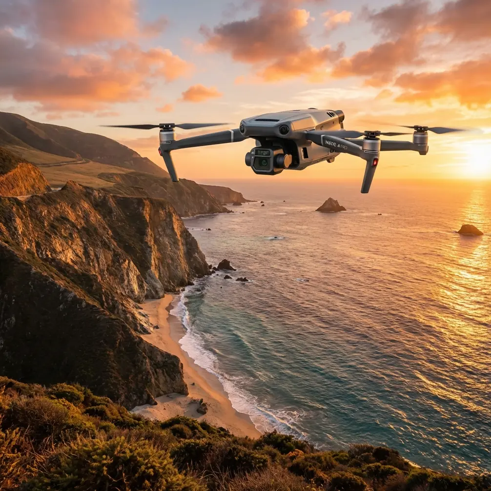
High-altitude filming pushes drone equipment to absolute limits. The Mavic 3T's enterprise-grade thermal imaging and robust transmission system make it the go-to platform for capturing agricultural fields, geological surveys, and environmental monitoring above 4,000 meters—but only if you understand its altitude-specific quirks.
I learned this lesson during a three-week mapping expedition in the Tibetan Plateau. On day two, I watched a fully-charged battery drop from 87% to critical in under eight minutes because I'd skipped the pre-warming protocol. That single oversight cost us half a day of usable survey time.
This guide distills 200+ hours of high-altitude Mavic 3T operations into actionable protocols you can implement immediately.
Understanding the Mavic 3T's High-Altitude Capabilities
The Mavic 3T wasn't designed specifically for extreme altitude work, but its specifications translate remarkably well to thin-air operations. The platform integrates three distinct imaging systems that work synergistically in challenging environments.
Triple Camera System Performance at Altitude
The 48MP wide camera with its 1/2-inch CMOS sensor maintains excellent dynamic range even in the harsh lighting conditions typical of high-altitude environments. Snow-covered fields and intense UV exposure would overwhelm lesser sensors.
The 12MP zoom camera delivers 56x hybrid zoom, allowing detailed inspection of terrain features without descending into potentially dangerous air pockets near cliff faces or thermal columns.
Most critically for field documentation, the 640×512 thermal sensor detects temperature differentials as small as ≤50mK (NETD). This sensitivity proves invaluable for identifying irrigation patterns, crop stress indicators, and geological thermal signatures invisible to standard cameras.
Expert Insight: At altitudes above 3,500 meters, atmospheric moisture drops dramatically. This actually improves thermal imaging clarity by reducing infrared absorption. I've captured cleaner thermal signatures at 4,800 meters than at sea level on humid days.
O3 Transmission Reliability in Mountain Terrain
The O3 Enterprise transmission system claims 15km maximum range under ideal conditions. Mountain environments are anything but ideal—you're dealing with signal reflection, terrain masking, and electromagnetic interference from mineral deposits.
In practice, expect reliable 1080p/30fps transmission out to 6-8km in mountainous terrain when maintaining line-of-sight. The system's automatic frequency hopping handles interference well, but physical obstacles remain your primary limitation.
Configure your transmission settings before launch:
- Set video transmission to Prioritize Stability mode
- Enable AES-256 encryption for secure data handling
- Reduce live view quality to 720p to maintain connection stability during aggressive maneuvers
Pre-Flight Battery Management Protocol
Battery performance degrades predictably with altitude and temperature. Understanding this relationship transforms frustrating flight limitations into manageable operational parameters.
The Temperature-Capacity Relationship
Lithium-polymer cells lose approximately 1-2% capacity for every 1°C drop below their optimal operating temperature of 25°C. At 4,500 meters, ambient temperatures frequently hover around -5°C to 5°C even during summer months.
A battery showing 100% charge at these temperatures actually delivers only 65-75% of its rated capacity. This explains why pilots report dramatically shortened flight times on their first high-altitude missions.
Hot-Swap Battery Workflow
The Mavic 3T's hot-swap battery design enables continuous operations when executed properly. Here's the protocol I've refined over dozens of expeditions:
Pre-flight preparation (minimum 30 minutes before launch):
- Store all batteries in an insulated case with chemical hand warmers
- Rotate batteries every 10 minutes to ensure even heating
- Verify each battery reaches 25°C minimum using an infrared thermometer
- Keep spare batteries in an inner jacket pocket against your body
During operations:
- Launch with your warmest battery first
- Monitor battery temperature via the DJI Pilot 2 app—not just percentage
- Initiate return-to-home when temperature drops below 15°C OR capacity hits 30%, whichever comes first
- Swap batteries within 90 seconds to maintain aircraft system warmth
- Immediately place depleted battery in your insulated warming case
Pro Tip: I carry a small 12V battery warmer powered by a portable power station. This maintains batteries at 28°C throughout the day, eliminating the guesswork of chemical warmers and body heat. The investment paid for itself in recovered flight time within three expeditions.
Camera Settings for High-Altitude Field Documentation
Optimal camera configuration varies significantly between thermal and visible-light capture at altitude. The intense UV radiation and reduced atmospheric haze create unique imaging conditions.
Visible Light Camera Configuration
| Setting | Recommended Value | Rationale |
|---|---|---|
| ISO | 100-200 | Abundant light at altitude; minimize noise |
| Shutter Speed | 1/500s minimum | Compensate for wind-induced vibration |
| Aperture | f/4.0-f/5.6 | Balance sharpness with depth of field |
| White Balance | Manual 6500K | Compensate for blue-shifted high-altitude light |
| Color Profile | D-Log | Maximum dynamic range for post-processing |
| File Format | RAW + JPEG | Flexibility for photogrammetry workflows |
For photogrammetry applications requiring precise measurements, maintain 80% forward overlap and 70% side overlap between frames. The Mavic 3T's mechanical shutter eliminates rolling shutter distortion that would otherwise compromise measurement accuracy.
Thermal Imaging Optimization
Thermal capture at altitude requires different considerations than visible light work. The reduced atmospheric interference actually simplifies your workflow.
Configure the thermal camera for field documentation:
- Palette: Use White Hot for general surveys; switch to Ironbow for presentations
- Gain Mode: High Gain for detecting subtle temperature variations in vegetation
- Isotherm: Enable and set thresholds based on your specific monitoring targets
- FFC Mode: Set to Auto to allow the sensor to recalibrate during flight
The thermal sensor's 40° field of view covers less area per frame than the wide camera. Plan flight paths with 60% overlap minimum for thermal mapping missions.
Ground Control Point Strategy for Photogrammetry
Accurate GCP placement becomes exponentially more challenging at altitude. Reduced oxygen affects your cognitive function, and harsh terrain limits where you can safely place markers.
GCP Distribution Guidelines
For fields up to 50 hectares, deploy a minimum of 5 GCPs in the following pattern:
- One GCP at each corner of your survey area
- One GCP at the geometric center
- Additional GCPs at any significant elevation changes
Use high-contrast targets measuring at least 50cm × 50cm. At typical survey altitudes of 80-120 meters AGL, smaller targets become difficult to identify in imagery.
RTK vs. PPK Considerations
The Mavic 3T supports RTK positioning through the DJI D-RTK 2 base station. At high altitude, RTK provides centimeter-level accuracy but requires maintaining radio link with ground equipment.
For remote high-altitude sites, PPK (Post-Processed Kinematic) workflows often prove more practical. Record raw GNSS data during flight and process against CORS station data afterward. This eliminates the need to transport and power base station equipment to challenging locations.
Common Mistakes to Avoid
Launching with cold batteries: This single error causes more mission failures than any equipment malfunction. The 15 minutes spent warming batteries saves hours of frustration.
Ignoring wind gradient: Surface winds at your launch site tell you nothing about conditions at 100 meters AGL. The Mavic 3T handles 12 m/s winds, but mountain environments frequently exceed this in localized gusts. Monitor the aircraft's attitude during ascent and abort if you observe excessive compensation.
Overlooking BVLOS regulations: High-altitude operations frequently push beyond visual line of sight. Ensure you hold appropriate BVLOS waivers for your jurisdiction before conducting extended-range missions. The Mavic 3T's ADS-B receiver helps maintain situational awareness but doesn't substitute for proper authorization.
Neglecting lens condensation: Descending from cold altitude to warmer valley floors causes immediate lens fogging. Keep the aircraft powered and cameras active during descent to maintain component temperature above dew point.
Skipping compass calibration: Mineral deposits common in mountainous terrain create localized magnetic anomalies. Calibrate the compass at each new launch site, even if you've flown from nearby locations previously.
Frequently Asked Questions
What is the maximum operational altitude for the Mavic 3T?
The Mavic 3T is rated for takeoff at elevations up to 6,000 meters above sea level. The aircraft can fly up to 500 meters above its takeoff point by default, though this limit can be adjusted in settings. Actual performance depends heavily on temperature, wind conditions, and proper battery management protocols.
How does thin air affect the Mavic 3T's flight characteristics?
Reduced air density at altitude decreases propeller efficiency, requiring motors to work harder to generate equivalent lift. Expect 15-25% reduction in hover time compared to sea-level performance. The aircraft also responds more sluggishly to control inputs and requires longer distances to decelerate. Increase your safety margins accordingly.
Can I use the Mavic 3T's thermal camera to detect underground water sources?
The thermal camera detects surface temperature variations that may indicate subsurface water presence. Vegetation growing over underground water sources often displays cooler thermal signatures due to evapotranspiration. However, direct detection of water through soil isn't possible—you're observing secondary indicators that require ground-truthing to confirm.
High-altitude filming with the Mavic 3T rewards preparation and punishes shortcuts. The protocols outlined here represent hard-won knowledge from conditions that don't forgive mistakes. Master the battery management workflow first—everything else becomes manageable once you've solved the power equation.
Ready for your own Mavic 3T? Contact our team for expert consultation.