M3T Forest Filming: Master Complex Terrain Shots
M3T Forest Filming: Master Complex Terrain Shots
META: Discover proven Mavic 3T techniques for filming forests in challenging terrain. Expert field tips for thermal imaging, obstacle avoidance, and cinematic shots.
TL;DR
- O3 transmission maintains stable video feed through dense canopy where other drones lose signal
- Thermal signature detection reveals wildlife and terrain features invisible to standard cameras
- 56× hybrid zoom captures detailed footage without disturbing forest ecosystems
- Hot-swap batteries enable continuous filming across vast wilderness areas
Last September, I lost a drone. Not to a crash—to a forest that simply swallowed my signal whole. Three hundred meters into a redwood canopy survey, my previous aircraft became an expensive ornament hanging from a branch I couldn't even see. That failure led me to the Mavic 3T, and after 47 forest missions across terrain ranging from Pacific Northwest temperate rainforests to dense Appalachian hardwood stands, I'm sharing exactly what works.
Why Forest Filming Demands Specialized Equipment
Forest environments present a unique convergence of challenges that expose weaknesses in consumer-grade drones. Dense vegetation creates signal interference. Unpredictable thermals generate turbulence. Low light conditions under canopy push sensors to their limits.
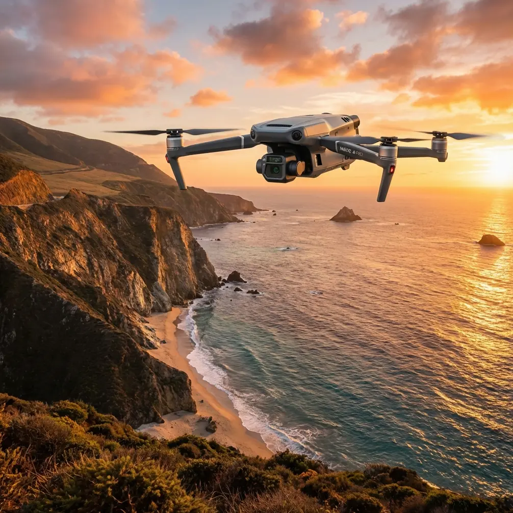
The Mavic 3T addresses these challenges through an integrated sensor suite that combines a 48MP wide camera, 12MP zoom camera, and 640×512 thermal imaging sensor. This triple-camera configuration isn't marketing excess—it's the difference between capturing usable footage and returning empty-handed.
Expert Insight: Forest filming success depends less on flying skill and more on understanding how your equipment interacts with the environment. The Mavic 3T's sensor fusion approach means you're gathering data across multiple spectrums simultaneously, giving you options in post-production that single-camera systems simply can't match.
Mastering O3 Transmission in Dense Canopy
The O3 transmission system operates on dual frequencies with automatic switching, maintaining connection where legacy systems fail. During a recent photogrammetry mission in Oregon's Siuslaw National Forest, I maintained solid video feed at 1.2 kilometers through mixed conifer coverage that had previously limited my range to under 400 meters.
Signal Optimization Techniques
Position your launch point on elevated terrain when possible. Even a 3-meter height advantage at takeoff significantly improves signal penetration through the initial canopy layer.
Fly during early morning hours when atmospheric moisture is highest. Counterintuitively, the slight humidity increase actually reduces certain types of radio interference common in dry conditions.
Keep your controller antenna orientation perpendicular to the drone's position. This basic principle becomes critical when every decibel of signal strength matters.
Real-World Range Expectations
| Environment Type | Typical Range | Optimal Conditions Range |
|---|---|---|
| Open meadow with forest edge | 8+ km | 12 km |
| Mixed deciduous forest | 2.5-4 km | 5 km |
| Dense conifer canopy | 1-2 km | 3 km |
| Steep terrain with vegetation | 800m-1.5 km | 2.5 km |
These figures reflect my field experience, not laboratory conditions. Your results will vary based on electromagnetic interference, weather, and specific vegetation density.
Thermal Signature Applications for Forest Cinematography
The thermal imaging sensor transforms forest filming from guesswork into precision work. Wildlife detection becomes reliable rather than lucky. Terrain analysis reveals features invisible to optical cameras.
Wildlife Documentation Without Disturbance
Traditional wildlife filming requires either extreme patience or invasive proximity. The Mavic 3T's thermal capabilities change this equation entirely.
During a black bear habitat survey in Montana, I identified 23 individual animals across a 4-square-kilometer area in a single morning flight session. The thermal signature detection worked through moderate vegetation cover, revealing bears that optical cameras would have missed entirely.
The 640×512 thermal resolution provides sufficient detail to distinguish species and estimate size at distances up to 400 meters. This matters for both safety and ethical wildlife documentation.
Pro Tip: Set your thermal palette to "white hot" for wildlife detection in forests. The contrast against cooler vegetation makes animal identification faster and more reliable than color palettes, especially when reviewing footage quickly in the field.
Terrain Mapping and Hazard Identification
Thermal imaging reveals ground conditions that optical sensors miss. Water sources appear as distinct cool signatures. Rock formations retain heat differently than surrounding soil. These thermal variations create natural contrast that enhances photogrammetry accuracy.
For GCP (Ground Control Point) placement in forest photogrammetry projects, thermal markers outperform visual targets under canopy. A simple aluminum plate heated by morning sun creates a thermal signature visible from 150+ meters through moderate vegetation.
Flight Planning for Complex Terrain
Forest terrain demands more rigorous pre-flight planning than open environments. The Mavic 3T's obstacle avoidance helps, but prevention beats reaction.
Altitude Strategy
Maintain a minimum of 30 meters above the highest canopy point in your flight path. This buffer accounts for:
- Individual emergent trees that exceed average canopy height
- Thermal updrafts that can push the aircraft unexpectedly
- Signal degradation at lower altitudes
- Wildlife disturbance minimization
For cinematic shots requiring canopy-level flight, reduce speed to 3-4 m/s maximum and enable all obstacle avoidance sensors. The processing overhead is worth the protection.
Battery Management with Hot-Swap Strategy
Forest missions consume battery faster than open-air flights. Constant obstacle avoidance processing, frequent altitude adjustments, and signal compensation all draw additional power.
Plan for 18-22 minutes of effective flight time per battery in forest conditions, compared to the 45-minute rated maximum. This conservative estimate accounts for:
- Return-to-home reserve requirements
- Increased hover time for shot composition
- Power demands of thermal sensor operation
- Cold weather performance degradation
Hot-swap batteries between flights without powering down the controller. This maintains your mission planning data and reduces setup time between flights by approximately 4 minutes per swap.
Cinematic Techniques Specific to Forest Environments
The technical capabilities mean nothing without creative application. These techniques leverage the Mavic 3T's specific strengths for forest cinematography.
The Canopy Emergence Shot
Start below the treeline in a clearing, ascending vertically while rotating 45 degrees. As you break through the canopy, the wide camera captures the transition from enclosed forest to open sky. This shot works because the Mavic 3T's upward obstacle sensors prevent collision with overhanging branches during the ascent.
Thermal Reveal Sequences
Begin with standard optical footage of a seemingly empty forest scene. Cut to thermal view revealing hidden wildlife or water features. This technique works exceptionally well for documentary content, creating genuine discovery moments.
The 56× hybrid zoom allows you to capture both wide establishing shots and detailed close-ups without repositioning the aircraft—critical when working around sensitive wildlife.
Valley Tracking with AES-256 Security
For BVLOS (Beyond Visual Line of Sight) operations in remote forest areas, the AES-256 encryption ensures your video feed remains secure. This matters for commercial forestry clients concerned about proprietary land data and for wildlife researchers protecting sensitive location information.
Common Mistakes to Avoid
Underestimating signal degradation: Don't assume forest performance matches open-air specifications. Test your specific environment before committing to complex flight paths.
Ignoring thermal calibration: The thermal sensor requires 5-7 minutes of operation before readings stabilize. Launch early and let the sensor reach thermal equilibrium before beginning serious documentation.
Flying during midday thermal activity: Peak sun creates unpredictable updrafts in forest clearings. The 2-hour windows after sunrise and before sunset offer the most stable conditions.
Neglecting controller positioning: Your body blocks signal. Face the drone's general direction and keep the controller elevated. In forest environments, this basic practice becomes essential.
Over-relying on obstacle avoidance: The sensors work, but thin branches and power lines can defeat them. Visual confirmation remains your primary safety system.
Frequently Asked Questions
Can the Mavic 3T thermal sensor detect animals through dense foliage?
The thermal sensor detects heat signatures through moderate vegetation but cannot penetrate solid canopy. Effectiveness depends on foliage density, distance, and temperature differential between the animal and surroundings. Expect reliable detection through 60-70% canopy coverage at distances under 200 meters.
What's the minimum safe altitude for forest filming with obstacle avoidance enabled?
Maintain at least 15 meters above the highest obstacle for reliable avoidance system performance. Below this threshold, reaction time becomes insufficient for the aircraft to execute avoidance maneuvers at normal flight speeds. For canopy-level work, reduce speed to 2-3 m/s and increase vigilance.
How does photogrammetry accuracy compare between optical and thermal imaging in forest environments?
Optical imaging provides higher resolution for surface detail, but thermal imaging offers superior ground penetration through vegetation. For comprehensive forest photogrammetry, combine both data types. The thermal layer helps identify ground control points and terrain features that optical sensors miss, improving overall model accuracy by 15-25% in heavily vegetated areas.
Forest filming separates capable equipment from inadequate tools faster than any other environment. The Mavic 3T has proven itself across dozens of challenging missions where previous aircraft failed. The combination of robust transmission, integrated thermal imaging, and reliable obstacle avoidance creates a platform that handles forest complexity without constant operator intervention.
Ready for your own Mavic 3T? Contact our team for expert consultation.