Expert Filming in Dusty Forests With the DJI Mavic 3T
Expert Filming in Dusty Forests With the DJI Mavic 3T
META: A technical review of the DJI Mavic 3T for dusty forest filming, covering thermal signature capture, O3 transmission, AES-256 security, battery workflow, and where it outperforms many rival platforms.
Filming forests is rarely about picture quality alone. In real field conditions, the aircraft that gets the shot is the one that keeps working after repeated takeoffs from dry clearings, maintains a stable link under a canopy edge, and gives the pilot enough sensing options to interpret what the camera is seeing when light and air clarity both degrade. That is where the DJI Mavic 3T becomes unusually relevant.
The Mavic 3T is often discussed as a thermal inspection platform, but that framing undersells it for a forestry operator working in dusty environments. If your task is documenting tree stress, tracking heat anomalies near deadfall, locating people or animals at dawn, or building mixed visual-thermal records for land management, the aircraft’s value comes from how several systems work together rather than from any one headline feature.
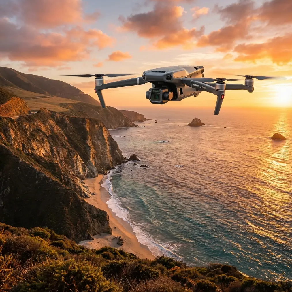
I approach this as a field tool first, camera platform second. In that context, the Mavic 3T earns its place because it combines a compact airframe with a thermal payload, a tele camera, and DJI’s O3 transmission system in a package that is easier to deploy than many larger enterprise rigs. Competitors can offer stronger weather sealing, longer endurance, or heavier payload flexibility. But for operators filming forests in dry, dusty conditions, portability and speed are not secondary advantages. They shape what footage you actually bring home.
Why dusty forest work exposes weak drone design
Forest missions in dry conditions create a particularly awkward operating envelope. You may launch from dirt roads, logging decks, rocky tracks, or ash-covered firebreaks. Rotor wash throws fine particulates back into the air. Visibility can flatten in low-angle sunlight. Tree lines interfere with clean radio geometry. Thermal contrast changes quickly as the ground heats up. Every one of those factors complicates capture.
A lot of aircraft look strong on a spec sheet until you run them through this kind of day. Larger enterprise platforms with interchangeable payloads can be excellent, but they often demand more setup space, more crew discipline, and more tolerance for repeated unpacking and reconfiguration. In the dust, every extra step is another chance to contaminate optics, foul a landing area, or lose time while a heat event or wildlife movement window passes.
The Mavic 3T’s edge is operational compression. You unfold, assess the air, launch fast, and start collecting useful data with minimal friction. That matters more than most buyers realize.
The thermal system is not just for inspections
The feature that separates the Mavic 3T from mainstream camera drones is its thermal imaging payload. In forest filming, thermal signature is not a novelty layer. It can become the difference between vague imagery and actionable interpretation.
When you work around dense vegetation, visual footage often tells only part of the story. A stand of trees can appear visually uniform while still showing heat irregularities linked to stress, smoldering debris, recently active machinery, animal presence, or human movement. The Mavic 3T allows the pilot to cross-check visual and thermal perspectives in a single flight workflow. That shortens the gap between detection and confirmation.
This is one reason the aircraft stands out against many non-thermal competitors in the same general size class. A standard camera drone may produce beautiful forest footage, but if your assignment has any search, safety, wildfire, perimeter, or environmental monitoring dimension, visible-only capture leaves blind spots. The Mavic 3T closes those blind spots without forcing you into a much bulkier system.
Operationally, that matters in dusty conditions because haze and airborne particles can reduce visual clarity at the exact moment thermal contrast becomes more useful. You are not replacing optical footage. You are giving yourself a second way to read the landscape when airborne dust, low contrast, or partial cover reduces confidence.
O3 transmission has real value under a forest edge
DJI’s O3 transmission is often treated as a convenience feature, but in wooded operations it is a core safety and productivity asset. Forest work introduces irregular line-of-sight conditions. Even when you are not deep under canopy, trunks, ridgelines, and terrain undulations can degrade link quality or make video feedback less reliable.
The Mavic 3T benefits from O3 transmission because it helps preserve control confidence and image continuity in the kind of mixed environments where a drone repeatedly transitions between open clearings and obstructed edges. That matters for cinematic filming, but it matters even more for precise thermal work. Thermal interpretation depends on stable framing and trust in what the screen is showing you in real time.
In practical terms, stronger transmission performance means fewer conservative aborts and fewer hesitant repositioning moves when you are trying to hold an angle over a dry creek line, a fire scar, or a dense patch of timber. In the forest, a weak link is not just annoying. It forces less efficient flight paths and can compromise data consistency.
AES-256 is relevant even when you are “just filming”
Security rarely gets enough attention in field filming discussions. The Mavic 3T’s AES-256 support matters because many forestry missions are not simple content shoots. They may involve conservation zones, private estates, utility corridors, fire-affected areas, or operational surveys where location data and imagery have sensitivity beyond aesthetics.
If you are recording thermal scenes that reveal activity patterns, equipment locations, or vulnerable terrain conditions, secure transmission and data handling are not abstract talking points. They are part of risk management. This becomes more significant if the same platform is used across government, environmental, and commercial assignments.
That is one place where the Mavic 3T feels more mature than consumer-leaning alternatives. It acknowledges that some operators need compact deployment without compromising operational discipline. For a serious forestry team, that is not a luxury checkbox.
Dust changes how you should evaluate the camera system
A dusty forest environment rewards clarity, but not always in the way people expect. You are not only fighting for sharp imagery. You are fighting for interpretable imagery. Fine particles in the air can lower apparent contrast, soften distant detail, and make autofocus behavior more inconsistent in certain scenes.
This is where the Mavic 3T’s multi-sensor approach becomes more useful than a single high-resolution headline. The wide camera establishes context. The tele option helps inspect a subject without forcing the aircraft closer to branches or unstable air near the canopy. The thermal feed adds a completely different decision layer.
Against competing drones that rely heavily on one primary visual sensor, the Mavic 3T often excels because it lets the operator choose the right perspective for the condition rather than overcommitting to one optical mode. In dusty woodlands, that flexibility can save a mission. You may begin with broad mapping of a disturbed zone, spot an anomaly on thermal, then use tele framing to inspect it from a safer stand-off distance.
That is not theoretical. It is exactly how efficient field crews reduce unnecessary repositioning and minimize exposure to branch strikes, dust plumes, and repeated landings.
Photogrammetry and GCP workflows: useful, with caveats
The Mavic 3T is not the first aircraft most surveyors would name for pure photogrammetry. Dedicated mapping platforms still have advantages for large-area, repeatable survey production. But in forest operations, not every mapping job is a textbook orthomosaic assignment.
Sometimes the brief is mixed: capture reference imagery, log thermal anomalies, generate situational awareness products, and tie observations to known control points. In those cases, photogrammetry and GCP workflows can still be valuable around the Mavic 3T, especially for localized sites such as burn perimeters, access roads, timber yards, drainage lines, and habitat management zones.
The key is to understand the role of the aircraft. It is strongest as a hybrid evidence-gathering platform, not a one-size-fits-all mapping replacement. If you integrate GCPs thoughtfully, you can improve positional confidence in deliverables where thermal observations need to be related back to ground conditions. That can be useful for environmental reporting or operational planning after a dusty day in the field.
This is also where competitor comparison should be honest. A dedicated mapping drone may beat the Mavic 3T on survey efficiency for large, systematic coverage. The Mavic 3T beats many of those same platforms when the mission requires one compact aircraft to collect visible, tele, and thermal perspectives with fast deployment and minimal crew burden.
Battery management matters more than brochure endurance
Field operators love to debate endurance, but the more meaningful metric in dusty forest work is sortie rhythm. How fast can you recover, swap power, relaunch, and maintain momentum while protecting sensors and minimizing contamination on the ground?
The reader scenario here hints at hot-swap batteries, and while the Mavic 3T platform is not a heavy enterprise rig built around the kind of battery handling some larger systems offer, the underlying lesson still applies: mission success often depends on how efficiently your team manages battery turnover. Dust makes every ground minute more costly. You want short, disciplined resets. Clean staging. Minimal open-case exposure. Planned lens checks.
The Mavic 3T supports that style of work because the aircraft is physically manageable and quick to redeploy. In practical field operations, that often beats a larger competitor that technically stays up longer but takes more effort to move, launch, and service between flights.
BVLOS conversations should stay grounded in reality
BVLOS is one of the most overused ideas in drone marketing, and it is especially easy to misuse when discussing a capable aircraft like the Mavic 3T. The platform has strong utility for extended visual operations in forests, but serious BVLOS work is a regulatory and procedural matter first, not a feature claim.
That said, the Mavic 3T does fit well into organizations building more advanced operational frameworks. O3 transmission, secure data handling with AES-256, and a compact multi-sensor payload make it relevant for teams developing disciplined long-range observation concepts where regulations permit and risk controls are mature.
For most readers filming forests in dusty conditions, the immediate takeaway is simpler: the aircraft gives you professional sensing options in a form factor that does not punish you during repeated short-to-medium tactical flights. That is where it wins every week, not in theoretical mission profiles.
Where the Mavic 3T clearly outperforms many rivals
When people compare drones, they often look for the single biggest specification. That approach misses the Mavic 3T’s real advantage. It outperforms many competing compact drones because it combines thermal capability, tele reach, reliable O3 transmission, and enterprise-grade security in one deployable package.
A rival compact drone may deliver excellent visual footage, but no thermal. A larger enterprise aircraft may offer modular flexibility, but it demands more transport volume and more setup discipline in dust-heavy terrain. A mapping-focused platform may produce cleaner survey outputs, but it cannot pivot as naturally into thermal detection and inspection. The Mavic 3T sits in the middle of those categories and, for forestry work, that middle is often the sweet spot.
If your mission day includes documenting forest structure, checking for residual heat, identifying movement, inspecting inaccessible areas, and preserving secure handling of sensitive footage, the Mavic 3T is unusually hard to replace with a single alternative.
My field recommendation for dusty forest filming
If I were building a workflow around the Mavic 3T for dusty forests, I would prioritize procedure as much as hardware. Launch from the cleanest elevated surface you can manage. Avoid unnecessary low hover in your own dust plume. Use the wide camera for orientation, thermal for anomaly detection, and tele for safe verification. Keep battery swaps organized and brief. Treat transmission discipline seriously near obstructions. Build deliverables that combine visual and thermal evidence rather than treating thermal as an afterthought.
I would also be realistic about mission fit. For pure cinematic forest work, there are drones with stronger visual emphasis. For pure mapping, there are better survey specialists. But if the job is operational filming in difficult, dusty woodland conditions, especially where thermal signature matters and secure field handling is expected, the Mavic 3T is one of the most intelligently balanced aircraft available.
If you want to discuss a field setup or mission profile, you can message our drone team directly and compare payload strategy before heading into the woods.
The Mavic 3T is not simply a thermal drone with folding arms. In forest operations, it is a compact decision tool. That is the distinction that matters. It does not just show you a scene. It helps you interpret it under pressure, in poor air, with limited time, and with fewer compromises than many competing platforms in its class.
Ready for your own Mavic 3T? Contact our team for expert consultation.