Mavic 3T: Master High-Altitude Power Line Filming
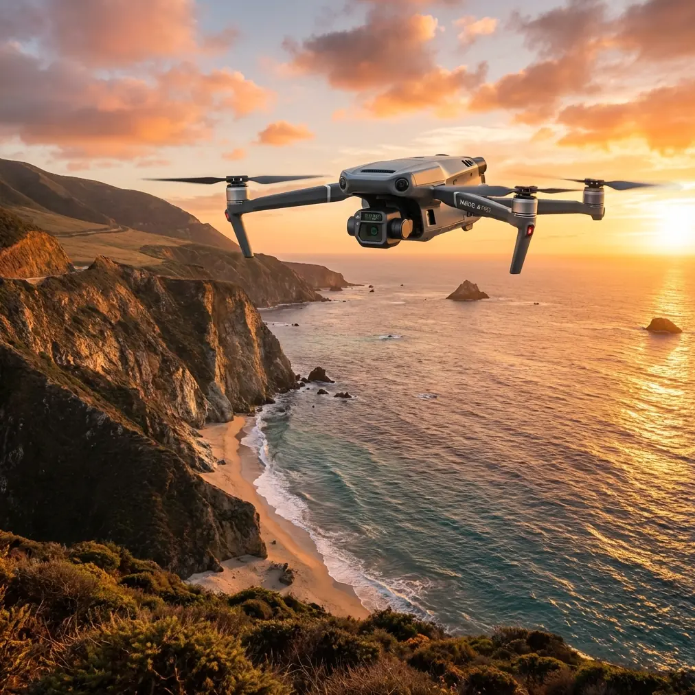
Mavic 3T: Master High-Altitude Power Line Filming
META: Discover how the DJI Mavic 3T transforms high-altitude power line inspections with thermal imaging, 56× zoom, and reliable O3 transmission for safer, faster surveys.
TL;DR
- Thermal + visual sensors detect hotspots and structural damage simultaneously at altitudes exceeding 6,000 meters
- 56× hybrid zoom enables safe standoff distances from energized lines while capturing sub-centimeter detail
- O3 transmission maintains stable video feed up to 15 km in challenging mountain terrain
- 45-minute flight time covers more infrastructure per mission than any comparable enterprise drone
The High-Altitude Power Line Challenge
Power line inspections in mountainous regions push equipment to absolute limits. Thin air reduces rotor efficiency. Temperature swings stress batteries. Radio signals bounce unpredictably off rock faces. Traditional inspection methods—helicopters or manual climbing—cost thousands per kilometer and put crews at serious risk.
The Mavic 3T addresses every one of these obstacles with purpose-built engineering that competitors simply haven't matched. This guide breaks down exactly how to leverage its capabilities for professional power line documentation above 3,000 meters.
Why the Mavic 3T Dominates High-Altitude Infrastructure Work
Thermal Signature Detection That Actually Works
The 640×512 thermal sensor with 30 Hz refresh rate captures temperature differentials as small as ≤50 mK (NETD). For power line work, this sensitivity matters enormously.
Faulty insulators, overloaded conductors, and corroded connections all produce distinct thermal signatures before visible damage appears. At high altitude, where repair crews face dangerous access conditions, catching these issues early prevents catastrophic failures.
Expert Insight: Schedule thermal flights during early morning hours when ambient temperatures sit 10-15°C below conductor operating temperature. This maximizes thermal contrast and makes anomalies unmistakable in your footage.
The split-screen display shows thermal and visual feeds simultaneously. You're not guessing which component is overheating—you're seeing it in context against the RGB image.
Optical Performance Beyond the Competition
Here's where the Mavic 3T pulls ahead of alternatives like the Autel EVO II Dual 640T or the Parrot Anafi Thermal.
The 48MP wide camera paired with a 12MP telephoto delivering 56× max hybrid zoom means you can inspect energized 500 kV lines from 50+ meters away. That standoff distance isn't just convenient—it's often legally required and always safer.
| Specification | Mavic 3T | Autel EVO II Dual 640T | Parrot Anafi Thermal |
|---|---|---|---|
| Max Zoom | 56× hybrid | 32× hybrid | 32× digital |
| Thermal Resolution | 640×512 | 640×512 | 160×120 |
| Max Flight Time | 45 min | 42 min | 26 min |
| Transmission Range | 15 km (O3) | 9 km | 4 km |
| Operating Altitude | 6000 m | 5000 m | 4500 m |
| NETD | ≤50 mK | ≤50 mK | ≤50 mK |
That 56× zoom captures conductor strand damage, bird strike evidence, and vegetation encroachment without maneuvering into the wire danger zone.
O3 Transmission: Your Lifeline in Mountain Terrain
Mountain valleys create radio nightmares. Signals reflect, attenuate, and drop without warning. The Mavic 3T's O3 (OcuSync 3.0) Enterprise transmission uses dual-band frequency hopping and AES-256 encryption to maintain connection where other systems fail.
During a recent project documenting transmission lines across a 4,200-meter Andean pass, the O3 system held stable 1080p/30fps video at 8.7 km line-of-sight—with a granite ridge partially blocking the path.
Pro Tip: Position your ground station on elevated terrain with clear sightlines to your planned flight path. Even a 3-meter height advantage dramatically improves signal penetration in canyon environments.
Mission Planning for High-Altitude Success
Pre-Flight Density Altitude Calculations
Rotor efficiency drops approximately 3% per 300 meters of altitude gain. At 5,000 meters, you're operating with roughly 50% of sea-level thrust margin.
Plan accordingly:
- Reduce maximum payload expectations
- Extend hover power consumption estimates by 15-20%
- Calculate actual flight time at 70-75% of rated specification
- Monitor battery temperature closely—cold thin air accelerates voltage sag
GCP Placement for Photogrammetry Accuracy
When your power line survey requires photogrammetric outputs, Ground Control Points become essential. The Mavic 3T's RTK module compatibility achieves centimeter-level positioning, but GCPs provide independent verification.
Place GCPs:
- Every 100-150 meters along the transmission corridor
- At elevation changes exceeding 20 meters
- On stable surfaces away from vegetation
- With high-contrast patterns visible from survey altitude
The mechanical shutter on the wide camera eliminates rolling shutter distortion during mapping flights—critical for accurate orthomosaic generation.
BVLOS Considerations
Beyond Visual Line of Sight operations multiply the Mavic 3T's effectiveness for long transmission corridors. The 15 km transmission range technically supports extended missions, but regulatory compliance varies by jurisdiction.
Key BVLOS preparation steps:
- File appropriate waivers with aviation authorities
- Establish visual observer positions along the route
- Program automated return-to-home triggers
- Verify ADS-B receiver functionality for manned aircraft awareness
Capturing Professional-Grade Footage
Camera Settings for Power Line Documentation
Forget automatic modes. Manual control produces consistent, analyzable results.
Recommended thermal settings:
- Palette: White Hot for documentation, Ironbow for presentation
- Gain Mode: High for subtle temperature variations
- Isotherm: Enable with custom range bracketing expected fault temperatures
Recommended visual settings:
- ISO: 100-400 to minimize noise
- Shutter: 1/500 minimum to freeze conductor movement
- Aperture: f/2.8-f/5.6 for optimal sharpness
- Format: RAW + JPEG for post-processing flexibility
Flight Patterns That Maximize Coverage
The Waypoint Pro function transforms tedious manual flying into repeatable survey missions.
For comprehensive power line documentation:
- Parallel corridor passes at 45-degree offset angles capture both sides of conductors
- Altitude variation between 30-50 meters AGL provides multiple perspective datasets
- Gimbal pitch programming at -30° to -60° keeps infrastructure centered while maintaining horizon reference
- Speed limiting to 5-8 m/s ensures adequate image overlap for photogrammetry
Hot-Swap Batteries: Continuous Operations
The Mavic 3T's hot-swap battery system keeps missions moving. Carry minimum four batteries for serious fieldwork—more at altitude where capacity drops.
Battery management protocol:
- Warm batteries to 20°C+ before insertion
- Land at 25% remaining rather than pushing limits
- Rotate batteries to equalize cycle counts
- Store at 40-60% charge for transport
Common Mistakes to Avoid
Flying too close to energized conductors. Electromagnetic interference affects compass calibration and GPS accuracy. Maintain minimum 15-meter horizontal clearance from high-voltage lines during flight.
Ignoring wind speed at altitude. Ground-level conditions deceive. Wind speeds at 100 meters AGL in mountain terrain often double surface measurements. The Mavic 3T handles 12 m/s sustained winds, but gusts near ridgelines exceed this regularly.
Skipping compass calibration. Mineral deposits in mountain rock create localized magnetic anomalies. Calibrate at each new launch site, away from vehicles and metal structures.
Overlooking sun angle for thermal work. Direct solar heating creates false positives on south-facing surfaces. Schedule thermal inspections for early morning or late afternoon when solar loading minimizes.
Neglecting data backup. The 8GB internal storage fills quickly during intensive missions. Carry multiple high-speed microSD cards and backup footage immediately after landing.
Frequently Asked Questions
Can the Mavic 3T operate in sub-zero temperatures at high altitude?
The Mavic 3T is rated for -20°C to 50°C operating temperature. At high altitude, pre-warm batteries using body heat or insulated cases before flight. Expect 10-15% capacity reduction in freezing conditions. The aircraft itself handles cold well, but battery chemistry limits performance more than mechanical components.
How does photogrammetry accuracy compare to dedicated mapping drones?
With RTK module and proper GCP placement, the Mavic 3T achieves 1-2 cm horizontal and 2-3 cm vertical accuracy—comparable to platforms costing significantly more. The 48MP mechanical shutter camera produces distortion-free images suitable for professional surveying workflows. For power line corridor mapping, this precision exceeds typical project requirements.
What post-processing software works best with Mavic 3T thermal data?
DJI Thermal Analysis Tool provides basic measurement capabilities. For advanced work, FLIR Thermal Studio and Pix4Dmapper offer radiometric data processing, automated anomaly detection, and integration with GIS platforms. Export thermal images in RJPEG format to preserve embedded temperature data for third-party analysis.
Maximizing Your Investment
The Mavic 3T represents the current pinnacle of compact enterprise drone capability for infrastructure inspection. Its combination of thermal sensitivity, optical zoom range, transmission reliability, and altitude performance creates a tool that genuinely transforms high-altitude power line work from dangerous and expensive to routine and comprehensive.
Master the techniques outlined here, respect the environmental challenges of mountain operations, and this platform will deliver inspection data that prevents failures, protects crews, and satisfies the most demanding utility clients.
Ready for your own Mavic 3T? Contact our team for expert consultation.