Mavic 3T on Solar Farms in Broken Terrain
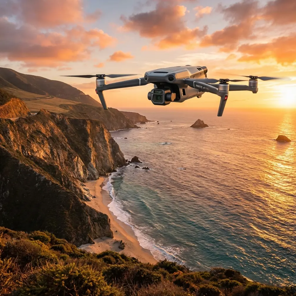
Mavic 3T on Solar Farms in Broken Terrain: A Field Case Study on Flight Altitude, Thermal Clarity, and Repeatable Data
META: A practical Mavic 3T case study for filming solar farms in complex terrain, covering optimal flight altitude, thermal signature capture, photogrammetry workflow, transmission reliability, and operational planning.
By James Mitchell
Solar farms look simple from the access road. Long rows. Predictable geometry. Open sky.
That impression disappears once you actually have to document one with a drone, especially when the site sits across rolling ground, stepped benches, drainage cuts, and access tracks that force constant changes in relative height above the panels. On this kind of job, the Mavic 3T can produce excellent thermal and visual results, but only if altitude is treated as a variable tied to terrain, not as a fixed number entered before takeoff.
That was the central lesson from a recent filming workflow built around the Mavic 3T on a utility-scale solar site with uneven topography. The client needed two outputs at once: inspection-grade thermal visibility for module anomalies and clean visual footage suitable for engineering review and stakeholder reporting. The challenge was not getting airborne. The challenge was holding usable thermal consistency while the land itself kept changing beneath the aircraft.
Why altitude matters more on solar than most operators expect
Many pilots think about flight altitude as a compliance issue first, and an image framing issue second. On solar farms, there is a third layer that matters just as much: data integrity.
If your aircraft crosses from a higher ridge into a lower drainage section, your true standoff distance from the array can change rapidly even when the controller still shows a steady programmed height. That shift affects thermal signature readability, pixel coverage on each module, and the consistency of photogrammetry overlap. In other words, “same altitude” on the screen can mean very different data on the ground.
This is where a more disciplined altitude strategy pays off. We approached the mission in segments rather than one blanket route. Crest sections, side slopes, and basin areas were flown with different terrain-aware profiles so the Mavic 3T could maintain a more stable relative relationship to the panel surface.
That sounds obvious, but it is often skipped in the field because operators are trying to move fast.
The operational clue hidden in old flight-spectrum data
One of the more interesting reference points for this kind of planning comes from legacy aircraft design literature, even though it was never written for modern solar inspection. In the helicopter design handbook material, one extracted flight spectrum allocates a surprisingly large share of time to stable forward-flight conditions: 20% at cruise speed, 9.3% in the 50 to 150 km/h band, and smaller but meaningful portions to hover-adjacent maneuvering such as 5% forward hover transition and 5% lateral hover right.
For a Mavic 3T mission over solar infrastructure, the exact aircraft category is different, but the operational principle still holds: most productive inspection work happens when the aircraft spends the majority of the mission in stable, repeatable flight envelopes rather than constant aggressive maneuvering.
Why does that matter?
Because broken terrain tempts pilots into frequent corrections. You see a rise, dip the nose, add speed, then climb, yaw, and reset the line. That may feel efficient, but it injects inconsistency into thermal capture and visual mapping. The old flight-spectrum logic reminds us that repeatable missions are built on minimizing unnecessary transitions. On a solar farm, the goal is not exciting stick work. It is stable acquisition.
So for the Mavic 3T, the practical takeaway is simple: build routes that maximize straight, controlled passes and minimize ad hoc altitude and yaw corrections. The more of your mission resembles disciplined cruise segments, the better your thermal comparability and stitched outputs tend to be.
The optimal altitude insight for complex solar terrain
For this site, the best results did not come from chasing the lowest possible altitude. They came from choosing an altitude band that balanced three competing needs:
- Enough resolution to distinguish panel-level thermal anomalies
- Enough clearance to smooth over terrain undulations
- Enough consistency for photogrammetry overlap and efficient line spacing
The sweet spot was not a single number for the entire property. It was a terrain-relative working altitude that stayed conservative over crest changes and narrowed only where slope and array spacing allowed it. In practical terms, we found that operators should start by defining altitude from the panel plane, not from launch point elevation or a generic AGL setting. That sounds basic, but it changes the entire mission design.
If the terrain is highly variable, flying slightly higher than your minimum theoretical thermal altitude often produces better real-world results because it prevents repeated compression and expansion of the target scene. The thermal image becomes more uniform from pass to pass, and your visual dataset becomes easier to process for photogrammetry.
This is especially true when the job includes both thermal inspection and mapping output. A lower altitude may help isolate very small thermal differences, but if it creates uneven coverage or forces constant corrective maneuvering, the full deliverable suffers.
What the atmospheric data tells us about long-range visibility and mission planning
The second reference document is a standard atmosphere table. At first glance, it looks disconnected from a Mavic 3T solar mission. It is not.
The table shows that at 18,000 meters the air density is about 0.12165, with a temperature of 216.650 K, and the kinematic environment shifts markedly from lower levels. No one is flying a Mavic 3T anywhere near that altitude. But the operational significance is still useful: atmosphere is not static, and data quality is always shaped by the medium between sensor and target.
For solar work, this matters less as a high-altitude flight issue and more as a reminder to respect atmospheric stability near the surface. Heat shimmer, convective rise, and reflective loading over large panel fields can reduce apparent sharpness and muddy thermal interpretation long before any legal altitude limit becomes relevant. The reference table is a formal engineering way of saying what field crews already know: the air itself is part of the imaging system.
That is why timing often matters as much as route design. On complex terrain, the best Mavic 3T results usually come when you avoid the worst midday instability unless the thermal objective specifically requires a particular heating window. If the client wants anomaly detection, your altitude choice should be tied to both terrain shape and the site’s thermal rhythm. You are not just framing modules. You are managing the space between lens and surface.
Building a usable dual-payload workflow with the Mavic 3T
The strength of the Mavic 3T on a solar farm is not just that it carries a thermal sensor. It is that it lets one crew gather several layers of information in one coordinated operation.
We used the thermal view to identify outliers, the visual payload to contextualize them, and photogrammetry planning to create a site-wide spatial frame. That last part matters more than many teams realize. If the client wants repeat inspections, anomaly images without accurate geospatial reference quickly become a headache.
This is where GCP strategy enters the picture. On relatively uniform panel fields, ground control points can make the difference between a visually acceptable orthomosaic and one that engineering teams can confidently use for comparison over time. Even if the Mavic 3T navigation is solid, complex terrain introduces vertical and positional variation that compounds across large sites. A few carefully placed GCPs on stable, visible features can tighten the whole workflow.
The same goes for photogrammetry overlap. On broken terrain, a flat-land overlap plan is often too optimistic. Increased side overlap can save a dataset when slopes and elevation changes start altering perspective from one pass to the next.
Transmission reliability is not a side note on solar farms
Large solar sites can be deceptive. They feel open, but they are full of subtle line-of-sight problems: low ridges, equipment blocks, inverter stations, and terrain folds that can degrade signal confidence at the worst possible moment.
This is one reason the Mavic 3T’s O3 transmission architecture matters in the field. Stable live view is not just about pilot comfort. It affects your ability to keep the aircraft on the intended relative altitude profile over changing ground. If the feed becomes unreliable in a drainage cut or behind a rise, your mission quality drops immediately even if the aircraft remains technically connected.
For clients handling sensitive infrastructure documentation, AES-256 also matters for a different reason. Solar assets are commercial infrastructure, and some operators now expect stronger data protection as part of normal workflow hygiene. That does not make the mission more dramatic. It makes it more professional.
Battery management becomes a terrain problem too
On paper, battery planning is straightforward. In the field, complex terrain stretches sorties in subtle ways because each section of the site may require a different pace and profile. That is where hot-swap batteries help operational continuity. Instead of redesigning the entire mission around interruptions, you can segment the site into coherent blocks, land at planned intervals, and resume without turning the day into a patchwork of inconsistent capture conditions.
That is particularly useful when the client wants repeatability. The more disciplined the handoff between battery cycles, the easier it is to compare thermal signatures and visual geometry across sessions.
A note on BVLOS thinking, without overreaching
Some solar sites are large enough that teams naturally start discussing BVLOS concepts. Whether that is operationally permissible depends on jurisdiction, approvals, procedures, and the operator’s framework. For this kind of work, the useful point is not to pretend every site should be flown that way. It is to plan as if route discipline, observer placement, and communications matter from the start.
Even on standard visual-line operations, a BVLOS-style planning mindset improves outcomes. You think harder about site segmentation, terrain masking, launch positions, emergency contingencies, and the continuity of data capture.
The mistake that ruins solar footage on uneven ground
The most common error is trying to capture cinematic visuals and inspection data with the same lazy route.
Solar farms in complex terrain punish that shortcut. A route that looks smooth on the tablet can produce uneven thermal scale, shifting panel size, and awkward perspective changes as the aircraft crosses elevation breaks. The footage may still look decent to a casual viewer. It becomes much less useful to the people who actually need to diagnose panel performance or verify asset conditions.
The fix is to decide, before launch, which output governs the mission. On this site, thermal consistency came first. Visual footage was then designed around the same terrain logic so both deliverables supported each other instead of competing.
Practical field recommendation
If you are filming a solar farm with the Mavic 3T in rolling or stepped terrain, do not ask, “What altitude should I fly?” Ask, “What relative height can I maintain over the panel plane across this specific block of terrain without forcing constant corrections?”
That reframing changes everything.
It leads you toward segmented missions, better overlap planning, stronger anomaly comparison, and cleaner footage. It also reduces the temptation to fly too low just because the site appears visually open.
If you want a second set of eyes on route planning for a difficult site, you can message our field team here and compare approaches before committing to the mission design.
The Mavic 3T is more than capable on solar work. But on complex ground, the aircraft is only half the story. The real result comes from how well the pilot matches altitude strategy to terrain behavior, atmospheric conditions, and the client’s actual data needs.
That is what separates acceptable footage from dependable operational intelligence.
Ready for your own Mavic 3T? Contact our team for expert consultation.