Filming a Remote Solar Farm With the Mavic 3T
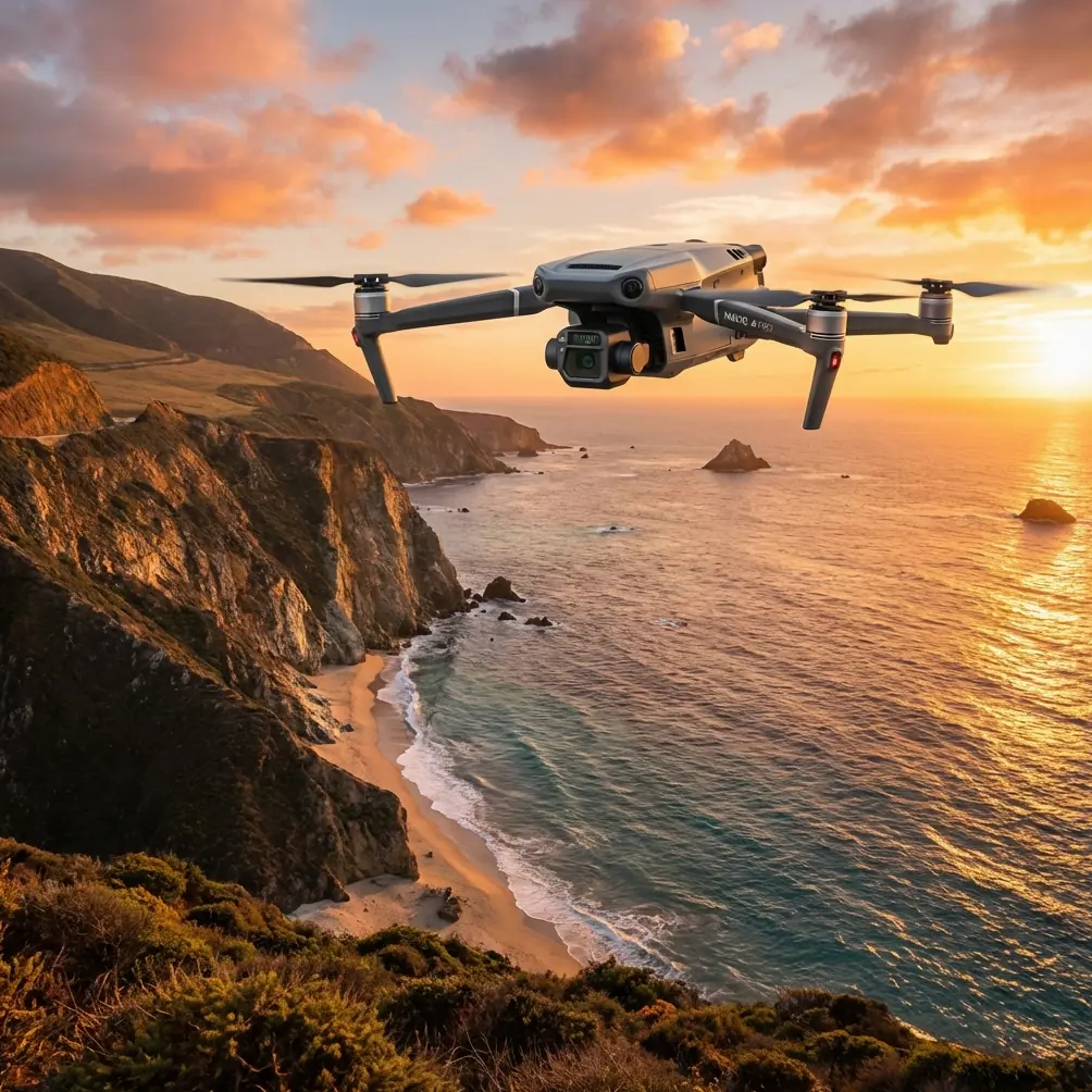
Filming a Remote Solar Farm With the Mavic 3T: What Actually Matters in the Field
META: A practical case study on using the DJI Mavic 3T for remote solar farm filming, thermal scanning, transmission stability, weather shifts, and flight planning that holds up in real operations.
Remote solar sites have a way of exposing every weak point in a drone workflow.
On paper, the job sounds simple: capture clean visual footage, identify suspect panels with thermal data, cover a large footprint efficiently, and get home before the weather turns. In practice, solar farms are repetitive, reflective, and often far from ideal launch conditions. Distances feel longer than they look from the access road. Wind behaves differently over rows of panels than it does over open dirt. Heat shimmer builds fast. And if the site is truly remote, the margin for error shrinks because you cannot rely on easy recovery, quick battery top-offs, or stable cellular support.
That is where the Mavic 3T becomes interesting—not as a spec-sheet trophy, but as a tool that can consolidate several jobs into one aircraft. For a crew filming a remote solar farm, that matters more than most buyers initially realize.
This case study looks at how the Mavic 3T fits that environment, with a particular focus on operational resilience: transmission confidence, thermal usefulness, mapping discipline, and how the aircraft behaves when conditions shift mid-flight.
The Assignment: More Than Just Pretty Footage
A remote solar farm project usually starts with one stated need and three unstated ones.
The stated need is often visual content. The owner, EPC contractor, or O&M provider wants aerial footage showing the scale of the installation, cable corridors, inverter stations, perimeter roads, and the visual order of the array.
The unstated needs show up once the aircraft is in the air:
- identify thermal anomalies worth a closer look
- gather location-accurate imagery that can support inspection records
- keep the mission repeatable enough to compare conditions over time
That is why the Mavic 3T is not just a camera drone in this context. Its real value comes from combining visible capture and thermal signature work in one deployable platform that can move quickly across a large site.
For remote solar operations, speed is not only about finishing early. It is about finishing before the weather, before light angles become unusable, and before the site’s heat profile shifts enough to make comparisons messy.
Why the Mavic 3T Fits Solar Work Better Than a Generic Filming Drone
Solar farms are visually monotonous. Every row can look like the last. That creates two problems for a pilot and data team.
First, conventional video alone can miss the operational story. A site may look perfect from 60 meters up while hiding hotspots, underperforming strings, or localized temperature irregularities that only appear thermally.
Second, repetitive geometry can make coverage discipline harder than expected. If the operator drifts from planned overlap or changes altitude casually, the dataset gets harder to compare later.
The Mavic 3T addresses that by letting one flight program support multiple outputs. You can shoot the hero footage the client expects, but you can also work methodically enough for thermally informed inspections and photogrammetry-adjacent documentation. If the team uses GCPs to anchor a mapping workflow, the resulting location consistency becomes much more useful for panel-level follow-up. Not every solar farm mission needs full survey-grade deliverables, but many benefit from at least a structured capture logic borrowed from mapping practice.
That distinction matters. A random cinematic pass may look excellent and still be nearly useless for maintenance planning. A disciplined Mavic 3T mission can do both.
Transmission Confidence Is Not a Luxury on a Remote Site
One of the least glamorous but most decisive factors in remote filming is link reliability.
This is where O3 transmission earns its place in the conversation. On a solar farm, distance is not always the issue in the obvious sense. The problem is often signal confidence across long rows, changing elevation, scattered infrastructure, and the psychological effect of operating far from your vehicle or field base. Even when regulations require you to remain within the appropriate operational framework, a stable control and video link reduces hesitation and improves decision-making.
That matters even more when you are using thermal views to inspect suspect sections. Thermal interpretation is not something you want interrupted by unstable downlink performance, especially when the visual scene is highly repetitive. Operators need to trust what they are seeing in real time.
For teams managing sensitive infrastructure imagery, AES-256 also deserves attention. Solar sites may not be defense assets, but they are still critical commercial facilities with layouts, equipment locations, and performance-related details that owners often prefer to keep tightly controlled. Secure transmission is not marketing garnish in that setting. It is part of a professional data-handling posture.
The Weather Turned Mid-Flight. That Is Where the Aircraft Proved Itself.
The most revealing moments in drone operations are rarely the planned ones.
On this particular remote-site scenario, conditions were calm at takeoff. Light was workable. The array had enough thermal contrast to begin identifying patterns without waiting for harsher midday conditions. The flight plan called for a mix of structured passes over the panel blocks and lower, more cinematic runs around access roads and inverter stations.
Then the weather shifted.
It was not dramatic in the cinematic sense—no storm wall, no emergency scramble. The change was subtler and more typical of real field work: wind picked up across the array, cloud cover moved in unevenly, and the thermal reading environment started changing as sun exposure became inconsistent from one section to the next.
That sort of shift creates a chain reaction.
The gusts force more active aircraft management. The changing light affects visible footage quality. Uneven cloud movement changes panel heating patterns, which can complicate thermal interpretation if the operator is not paying attention. A less capable workflow can produce a mixed bag of footage that looks fine at first glance but becomes hard to trust when someone later tries to compare thermal anomalies across sections.
The Mavic 3T handled that transition well because it let the crew adapt rather than abort. The pilot tightened the mission logic, prioritized the most thermally relevant blocks while conditions remained usable, and saved the lower-value cinematic sweeps for the end. The aircraft stayed controllable, the link remained dependable, and the team came back with a dataset that still made sense.
That is the operational significance. It was not about heroics. It was about preserving decision-quality data when the environment stopped being cooperative.
Thermal Signature Work on Solar Farms Demands Context, Not Just Heat
Thermal imagery attracts attention because it looks decisive. Bright area, dark area, problem found. Real inspection work is not that simple.
On a solar farm, thermal signature anomalies can come from several sources: damaged cells, string issues, soiling patterns, connection problems, shading effects, or transient environmental conditions. If the site weather changes during the mission, interpretation becomes even more dependent on flight consistency.
That is why altitude discipline, viewing angle, and timing matter. If one section is flown under direct sun and another after a cloud bank cools the surface, the thermal story may not be comparable. The Mavic 3T gives crews the ability to capture that data, but the operator still needs to structure the mission intelligently.
This is also where having one aircraft for both visual and thermal capture helps. When a hotspot appears, the team can immediately cross-reference the visible view, surrounding panel context, and exact position in the array. That speeds up triage. Instead of giving the maintenance team a vague note about “a warm cluster near the east block,” you can point them to the row, nearby infrastructure, and imagery set that supports the finding.
For remote sites, that efficiency matters because every truck roll costs time and coordination.
Borrowing a Lesson From Manned Aircraft Design
The reference material here includes something that at first glance seems far removed from a compact enterprise drone: civil aircraft design guidance discussing failure states, structural effects, and probability terms such as “probable,” “improbable,” and “extremely improbable.” It also emphasizes that operators should focus on failure conditions that directly affect aircraft response, loads, and pilot input behavior.
That mindset is useful for Mavic 3T planning on industrial sites.
A good remote solar mission is not built around generic worry. It is built around the failure states that would actually degrade the operation: loss of signal confidence, unstable behavior in gusty corridors, battery planning that does not account for distance over repetitive terrain, or thermal datasets compromised by changing irradiance. The point is not to treat a Mavic 3T like a transport-category aircraft. The point is to adopt the discipline of thinking in operational consequences rather than vague risk labels.
The same reference also highlights the need to assess system behavior across a range of frequencies and conditions, including damaged or altered states in larger aircraft contexts. For drone teams, the practical takeaway is simpler: do not validate your workflow only in ideal weather. A solar inspection process that works only on calm, blue-sky mornings is not robust enough for real commercial use.
Formation Flying Makes an Unexpected Point About Precision
Another reference mentions a drone display in South Korea where 500 drones flew in formation to create Ukrainian flags and peace messages. That event had nothing to do with solar inspections, but the operational lesson is still relevant.
When 500 drones hold a coordinated formation, the real story is not symbolism alone. It is positional precision, synchronized control, and predictable behavior under a shared plan. Industrial drone work demands the same principles on a smaller scale. A single Mavic 3T mapping or inspection mission over a solar farm depends on repeatable lines, consistent spacing, and accurate coverage. The aircraft does not need to perform as part of a light show, but the operator does need the same respect for disciplined geometry.
That becomes especially useful when you revisit a site. If the original mission was flown with structured path control and supported by GCP-backed references where needed, later comparisons become much more credible. A maintenance manager can actually track whether a thermal issue is spreading, recurring, or resolved, rather than trying to compare two loosely similar flights captured months apart.
Battery Strategy and Remote Logistics
Remote solar work punishes casual battery planning.
Even if the aircraft itself is efficient, the site size, travel distance between launch points, and need for re-flights can erode your margin quickly. This is where hot-swap batteries become less of a convenience and more of a tempo tool. The faster the team can cycle back into the air, the easier it is to preserve similar lighting and thermal conditions across multiple blocks.
That continuity matters more than many crews expect. A battery break that stretches too long can shift the site from useful thermal contrast into muddier conditions, especially on partly cloudy days. Fast turnaround helps keep the dataset coherent.
For teams planning longer corridor-style site coverage or future BVLOS-oriented workflow discussions, the Mavic 3T also pushes an important question: not “How far can it go?” but “How much of the mission can remain operationally consistent?” Coverage range means little if the later segments are captured under different weather, different thermal behavior, and different pilot assumptions.
What I Would Change for the Next Solar Farm Mission
After a remote Mavic 3T deployment like this, three improvements usually stand out.
First, formalize the weather trigger points before launch. Not vague notes like “watch the wind,” but actual decision rules for when to prioritize thermal blocks, when to switch to visual-only work, and when to stop collecting comparison-sensitive data.
Second, integrate GCP logic whenever location fidelity will matter downstream. Even if the end client does not ask for a full photogrammetry product, accurate ground references improve follow-up value.
Third, communicate thermal findings as maintenance leads, not dramatic discoveries. Solar asset managers need usable language: section, location, image pairing, severity indication, and recommended next step.
If your team is sorting through those workflow choices, a quick field-oriented discussion usually saves more time than a week of trial and error—this is the kind of scenario where a direct message can help: ask an M3T workflow question here.
The Real Strength of the Mavic 3T on Solar Sites
The Mavic 3T earns its place on remote solar farms because it reduces fragmentation.
Instead of sending one system for visuals and another for thermal review, the crew can work from a single aircraft platform. Instead of improvising after weather changes, the pilot can preserve mission value through stable transmission, efficient capture, and adaptable priorities. Instead of collecting footage that merely looks good, the team can produce imagery tied to actual operational decisions.
That is the difference between flying a drone at a solar farm and conducting a useful solar farm drone mission.
The aircraft is only part of it, of course. The rest is planning, consistency, and knowing when environmental conditions are starting to distort the story your data is trying to tell. But when those pieces are in place, the Mavic 3T is unusually well suited to this kind of remote infrastructure work.
And that is the standard worth using: not whether the drone can get airborne, but whether the output still holds up after the weather changes, the light shifts, and the maintenance team starts asking specific questions.
Ready for your own Mavic 3T? Contact our team for expert consultation.