Mavic 3T Guide for Filming Vineyards in Extreme Temperatures
Mavic 3T Guide for Filming Vineyards in Extreme Temperatures
META: Expert how-to guide for using the DJI Mavic 3T in vineyards during extreme heat, cold, and shifting weather, with practical advice on thermal imaging, O3 transmission, AES-256 security, and flight planning.
Vineyards are demanding places to fly. They look orderly from the road, but once you are in the air the workload changes fast: repeated row geometry, reflective leaf surfaces, slope transitions, irrigation lines, dust, localized heat pockets, and wind that behaves differently above each block. Add extreme temperatures and a mid-flight weather shift, and the Mavic 3T stops being a simple camera drone. It becomes a decision-making tool.
I’ve used thermal-capable aircraft around agriculture long enough to know that vineyard operators usually want two things at once. They want footage that looks clean enough for stakeholders and they want data that means something when the aircraft lands. The Mavic 3T is one of the few compact platforms that can serve both jobs in the same mission if you fly it with a plan.
This guide is built specifically for the Mavic 3T and the realities of filming vineyards when temperatures are pushing the aircraft, the batteries, and your own timing discipline.
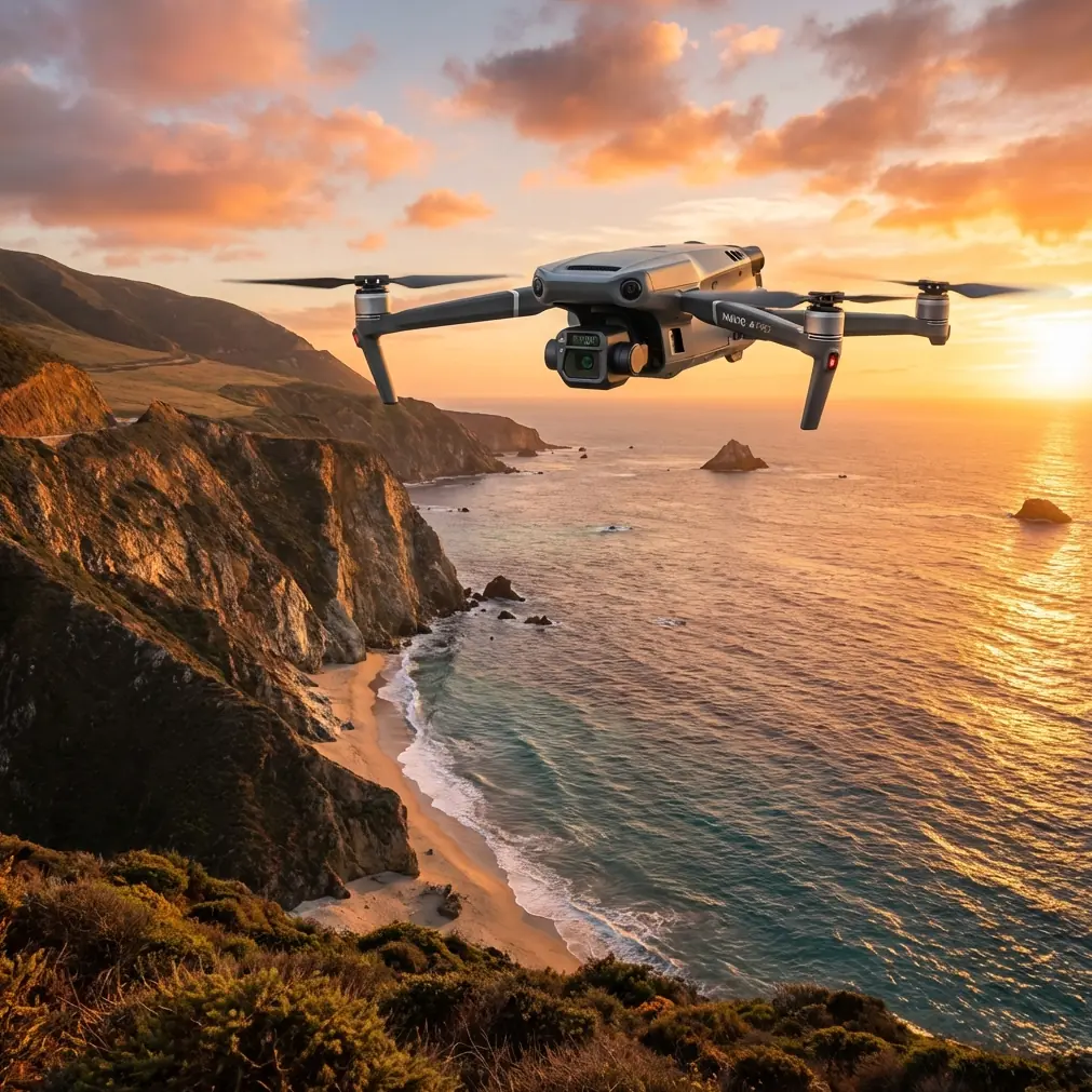
Why the Mavic 3T suits vineyard work better than a standard camera drone
The Mavic 3T matters here because it is not just a visual platform. Its operational value comes from the combination of thermal imaging, a wide camera, tele capability, stable transmission, and an airframe small enough to move quickly between vineyard blocks without turning deployment into a production of its own.
For vineyard work in extreme conditions, two details are especially important.
First, the thermal payload lets you read thermal signature differences across rows, trellis ends, irrigation patterns, and equipment zones. That can reveal stress patterns or heat-retention anomalies that are invisible in standard footage. If you are documenting vine health, frost aftermath, irrigation inconsistency, or hot machinery near dry vegetation, thermal is not a novelty feature. It changes what the flight can tell you.
Second, the aircraft’s O3 transmission system is a practical advantage in terrain where row alignment and topography can interrupt your line of sight and degrade your situational awareness. In vineyard environments with rolling contours, windbreaks, and patchy visual contrast, robust transmission is not about convenience. It is what allows you to make calmer, better framing and safety decisions when conditions change.
There is another layer professionals often overlook until a client asks about it: AES-256 data security. If you are filming a private estate, documenting crop performance, or collecting thermal imagery that may reveal operational patterns, secure transmission and handling matter. Vineyards are businesses with sensitive infrastructure, labor movement, and production data. The Mavic 3T’s security profile is one reason it fits serious commercial work.
Start with the mission, not the camera settings
Before launch, decide whether this is primarily a cinematic flight, an inspection flight, or a dual-purpose sortie. That choice affects everything.
If the mission is cinematic, you are prioritizing light angle, row symmetry, elevation changes, and smooth reveals over repeated overlap and mapping precision.
If the mission is analytical, you need repeatable flight paths, controlled altitude, disciplined speed, and enough overlap for photogrammetry or side-by-side comparison flights later.
If it is dual-purpose, split the operation into phases. Do not try to improvise both at once. Capture your structured data first, then return for creative passes while battery state, weather, and light still support them.
That order matters in extreme temperatures. Heat and cold both compress your margins, just in different ways.
- In high heat, battery performance, sensor stability, and atmospheric shimmer can degrade your result as the day develops.
- In cold conditions, battery output and handling confidence are often worst right after launch.
- In both cases, the cleanest usable dataset usually comes from the most disciplined early portion of the mission.
Planning for extreme heat in vineyards
Hot-weather vineyard flights present a strange contradiction. The landscape is visually beautiful, but thermally messy. Soil, rock, metal posts, vehicle tracks, tanks, and exposed equipment all heat at different rates. By midday, the whole block can become a patchwork of competing signatures.
If your goal is usable thermal footage, avoid assuming that the brightest area is the most operationally important. Often, what matters is the pattern shift rather than the absolute temperature appearance. A slightly cooler irrigation-fed band through stressed rows can be more significant than a large hot patch on a service road.
In practical terms:
- Fly early if you need cleaner thermal contrast tied to plant behavior rather than general solar loading.
- Keep your altitude consistent so the thermal scene remains comparable across blocks.
- Reduce aggressive maneuvering; rapid angle changes can make thermal interpretation less reliable when you review footage later.
- Use the tele capability selectively to inspect suspect rows, broken emitters, or heat buildup around pumps and machinery.
Heat also affects human judgment. Pilots rush when they are uncomfortable. That is when framing gets sloppy, checklists shrink, and battery planning turns optimistic. Don’t let the environment set your tempo.
Planning for cold mornings and frost-prone sites
Vineyards in cold regions create a different problem. Frost pockets settle in low areas, and vineyard topography can produce highly localized temperature behavior. A block can look uniform from ground level and read very differently from above.
This is where the Mavic 3T’s thermal view becomes especially useful. You can identify cold accumulation zones, delayed warming sections, and edge effects near tree lines or water features. If the assignment is to document exposure after a freeze event, thermal footage should be captured before the ground equalizes too much under sunlight.
Cold-weather flights need battery discipline. Even with field-friendly workflows and hot-swap batteries available in a broader operational setup, you still need to treat each pack as temperature-sensitive and mission-specific. Don’t plan long, decorative flights when the real value is a concise, repeatable survey that gets the aircraft back down before performance margins tighten.
In frost work, the temptation is to linger because the patterns are visually fascinating. Resist that. Get your core flight done, confirm your data integrity, then decide whether to launch again for beauty footage.
What happened when the weather changed mid-flight
The hardest vineyard missions are rarely hard at takeoff. They become hard 8 or 10 minutes later.
On one representative scenario, the flight began under stable morning light with light crosswind over a terraced vineyard. The initial plan was simple: one structured pass for thermal context, one lower-altitude visual run along the rows, then a tele check of an irrigation manifold at the edge of the block.
Halfway through the second phase, the weather shifted. Wind picked up unevenly from the exposed side of the slope, and a thin cloud band moved in fast enough to flatten contrast and alter the thermal picture. Dust lifted from the service road. The airframe remained composed, but the mission priorities changed instantly.
This is where the Mavic 3T earns its place.
The O3 transmission link stayed reliable enough to maintain clear situational awareness despite changing conditions and partial visual clutter. That matters more than most pilots admit. When wind and light both change, your first risk is not always aircraft performance. It is degraded decision quality from poor visibility and uncertain framing.
The thermal feed also remained operationally useful after the weather shift, though in a different way than planned. Instead of using it for broad comparative row analysis, it became a fast verification tool for identifying whether the target equipment area still showed the anomaly seen earlier. That is a smart Mavic 3T habit: when conditions change, use the payload differently rather than forcing the original shot list.
The right call was to shorten the remaining route, climb to a safer transition profile above the rows, complete one final verification pass, and recover. The drone handled the change well because the flight was structured around priorities, not around squeezing every possible second out of the battery.
How to capture both cinematic footage and usable vineyard data
If you want the Mavic 3T to produce more than attractive footage, fly in layers.
1. Establish the vineyard geometry first
Start with a high-level orbit or angled establishing pass that shows slope, row direction, access roads, and block boundaries. This gives clients and farm managers context. It also helps later when you need to explain where a thermal anomaly sits relative to the rest of the property.
2. Run a disciplined grid or corridor pass for repeatability
If future comparison matters, this is where you think like a survey operator rather than a filmmaker. Maintain consistent altitude, speed, and overlap. If you plan to process imagery for photogrammetry, bring in GCP workflows where appropriate for better positional reliability. In vineyards, repeated row structure can confuse low-discipline capture habits. Good control points reduce ambiguity and make your outputs more defensible.
3. Use thermal with a question in mind
Never turn on thermal just because the aircraft has it. Ask a specific question.
- Are these rows warming evenly?
- Is irrigation behaving consistently?
- Is there heat around a pump, electrical cabinet, or vehicle staging area?
- Did yesterday’s temperature event affect one block more than another?
Thermal without a question produces footage. Thermal with a question produces evidence.
4. Finish with low-altitude visual passes
Once the structured work is done, then film for narrative value. Follow row lines. Use parallax from slope transitions. Reveal the geometry of the trellis system. Track along access lanes with enough lateral separation to preserve safety and image stability.
This is the point where the Mavic 3T’s compact form factor helps. You can move from analytical work to visual storytelling without switching platforms or rebuilding the mission from scratch.
Security and compliance are part of the workflow
Professional vineyard operators are increasingly sensitive about how aerial imagery is collected, transmitted, and stored. That applies even more when flights include thermal data or infrastructure inspection.
The Mavic 3T’s AES-256 security profile is not abstract technical marketing. It has practical significance when your footage may include facility layouts, worker movement, equipment locations, or crop-condition indicators. If you are flying for a winery group, agricultural consultant, insurance review, or estate owner, secure handling should be part of your pre-flight conversation.
The same goes for compliance. Some vineyard properties are large enough that operators start thinking about BVLOS-style efficiency. That can be relevant operationally, but it belongs inside the legal and regulatory framework where you are flying. Don’t let the shape of a long property tempt you into a workflow your approvals do not support.
A field-tested setup for difficult vineyard days
When conditions are unstable, simplify the mission package.
- Use one primary objective per battery.
- Separate thermal inspection from beauty footage if the weather is deteriorating.
- Keep launch and recovery points clear of dust, loose vine debris, and vehicle traffic.
- Monitor how light changes across blocks; cloud cover can alter both visual contrast and thermal interpretation in minutes.
- Review a short clip on site before leaving. Vineyard patterns can look excellent on the controller and reveal motion or exposure issues later on a larger screen.
If your team needs a second opinion on planning a mixed thermal-and-cinematic vineyard mission, I’d point them to this direct operations chat rather than trying to solve it from a generic checklist.
What the Mavic 3T does especially well in vineyards
The Mavic 3T is not the biggest aircraft available for agricultural imaging, and that is part of its advantage. In vineyard work, speed of deployment matters. So does the ability to move from one block to another without creating operational drag.
Its strongest role is not replacing every specialized tool. It is covering the wide middle ground between inspection drone, documentation platform, and fast-response imaging system.
For vineyards in extreme temperatures, that means it can:
- identify meaningful thermal signature changes before they become visible in standard imagery,
- maintain control confidence through solid O3 transmission when terrain and weather get awkward,
- support secure commercial operations with AES-256 protections,
- and contribute to structured mapping or comparison flights when paired with disciplined photogrammetry methods and GCP planning.
That combination is why the aircraft keeps showing up in serious field use. Not because it does one spectacular thing, but because it does several operationally important things in one compact platform.
If your work involves vineyards, the real skill is not owning the Mavic 3T. It is knowing when to fly it as a camera, when to fly it as a sensor, and when to cut the mission short because the weather is telling you the story has changed.
Ready for your own Mavic 3T? Contact our team for expert consultation.