Mavic 3T in Urban Vineyards: A Field Report on Signal
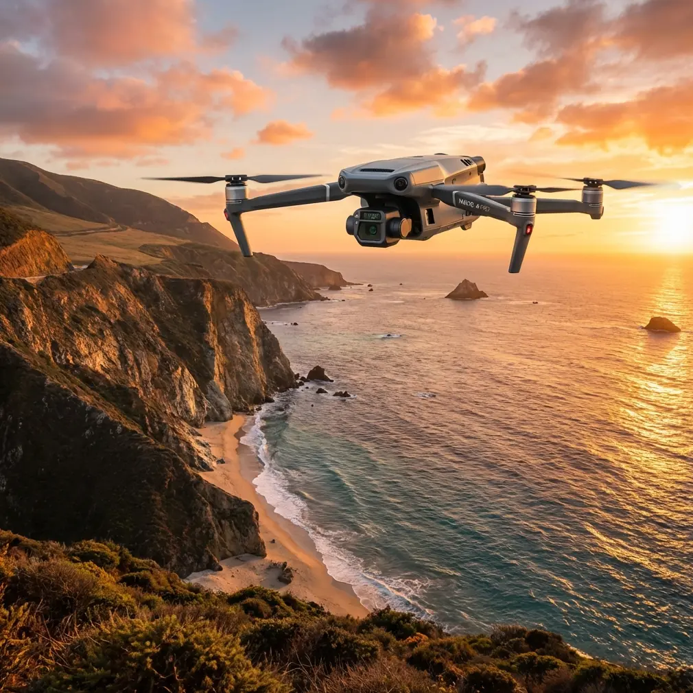
Mavic 3T in Urban Vineyards: A Field Report on Signal Discipline, Thermal Context, and Why Oxygen Math Still Matters
META: Expert field report on using the Mavic 3T for filming vineyards in urban environments, with practical antenna positioning advice, thermal workflow insight, and aviation design lessons that improve safer mission planning.
Urban vineyard work looks easy until you launch.
Rows are short. Boundaries are irregular. RF noise is everywhere. A clean flight line on the map turns messy once you add apartment blocks, reflective glass, roadside trees, and the simple fact that vines are low, repetitive subjects that can make footage feel flat unless the flight profile is deliberate. The Mavic 3T is often discussed as a thermal aircraft first, but in this setting its value is broader: it is a compact platform that lets one crew document plant patterns, roofline interactions, heat contrast, and site geometry without bringing a larger airframe into a constrained neighborhood.
I’ve been testing the Mavic 3T around vineyard parcels embedded in dense urban edges, and one lesson rose above the usual camera talk: range and image reliability are usually lost on the ground before they are lost in the air. Antenna handling, pilot position, and mission planning matter more than most operators admit.
That may sound basic. It isn’t. In a city-fringe vineyard, your weakest point is often not the aircraft. It is the human standing in the wrong place with the controller angled badly.
The range problem no one solves with spec sheets
The Mavic 3T’s transmission system is capable, but urban vineyards create a specific kind of signal challenge. Vine rows tend to pull pilots into low positions near walls, parked vehicles, irrigation sheds, or building corners. Those are exactly the places where signal geometry gets compromised.
If you want maximum practical range and stable preview, stop thinking only in horizontal distance. Think in line of sight volume. The best controller position is usually not the one closest to the vines. It is the one that clears the most obstructions between pilot and aircraft over the whole route.
My field rule is simple:
- stand where the aircraft can “see” the controller for the entire mission arc, not just at takeoff;
- avoid facing through glass, fencing, or parked vans;
- rotate your body with the aircraft, not just the controller wrists;
- keep the antenna faces oriented broadside to the aircraft rather than pointing the tips at it.
That last point is where many crews quietly lose performance. Antennas do not behave like laser pointers. Pointing the ends directly at the drone often weakens the link. For urban vineyard work, especially when orbiting around trellis blocks near homes or utility poles, broadside orientation usually preserves a more stable control and video path.
If your route includes turns behind tree lines or rooftop parapets, move yourself before takeoff. Don’t wait for bars to dip. A ten-meter change in pilot position can do more than a hundred meters less flight distance.
Why the Mavic 3T makes sense for vineyards that sit inside a city
A rural vineyard gives you clean background separation and easy flight lanes. An urban vineyard does not. You’re documenting more than crop rows. You are capturing the relationship between vines, retaining walls, heat buildup from adjacent surfaces, stormwater patterns, and microclimate effects created by surrounding buildings.
That is where the Mavic 3T earns its place. Visible imaging gives the obvious cinematic and documentation layer, but thermal signature adds another dimension. In the early morning or after sunset, edge zones near concrete walls, pavement, or rooftop runoff paths often reveal temperature differences that help explain plant stress patterns or irregular growth. You are not replacing agronomic ground truth, but you are improving where to look next.
This matters in urban viticulture because stress is rarely uniform. A traditional wide shot may show healthy symmetry. Thermal contrast can reveal that one boundary row is living in a different environment altogether.
I have found the most useful workflow is not “thermal versus visual.” It is thermal first, visual second. Use heat contrast to identify anomalies, then re-fly lower and slower for visible detail and scene-building footage.
A surprising engineering lesson from an old aircraft oxygen handbook
The reference material I reviewed before writing this had nothing to do with drones directly. One source covered aircraft oxygen system design and included a very specific calculation set: emergency oxygen demand at 12,192 meters, a 20-second delay allowance, and descent demand down to 4,267.2 meters. One computed figure was 1.42 × 10⁻⁴ m³ for the delay segment, and another was 9.39 × 10⁻⁴ m³ for the descent segment. Added together, the emergency total became 10.81 × 10⁻⁴ m³, with a remaining continuous-supply quantity of 9.89 × 10⁻⁴ m³ in the example.
On paper, that is an airliner-era systems problem. In practice, it teaches exactly the mindset drone operators need in urban commercial work.
The significance is not the oxygen itself. It is the planning logic: break a mission into phases, assign demand to each phase, and do not assume your reserve is usable for the whole profile. The handbook even notes that a minimum sustained oxygen duration may be insufficient, requiring supplemental oxygen. That warning is a classic systems-engineering reminder that nominal capacity does not equal operational sufficiency.
For Mavic 3T vineyard flights, the parallel is direct.
Battery planning should not be done as one continuous blob. Separate the mission into:
- climb and positioning,
- primary capture pass,
- contingency repositioning,
- return path,
- hover buffer for landing conflicts.
Urban vineyards often stretch battery use not because they are large, but because obstacles force rework. You may need to re-approach a row because a delivery truck enters frame, or climb higher to clear a tree canopy you did not fully account for. If you treat all remaining battery as “available for filming,” you are making the same mistake the oxygen example warns against: confusing total onboard capacity with phase-appropriate reserve.
The number that matters is not how much energy you launched with. It is how much remains after the delays you did not plan for.
Structural thinking applies in drone operations too
The second reference source was on aircraft spring design, including stress concentration in extension spring hooks and a note that extension springs should be designed for slightly lower maximum stress than compression springs because manufacturing tolerances make initial tension less uniform. It also highlighted that failures tend to occur at the hook ends, where bending and torsion combine, and discussed a spring index range of 5 to 12 for well-designed springs.
Again, not drone-specific. Still useful.
Why bring this into a Mavic 3T field report? Because commercial UAV work in tight urban agriculture benefits from the same discipline: failures often occur at transition points, not at the obvious center of the system.
In spring design, the hook end is the weak spot because combined stresses gather there. In drone operations, the comparable weak spots are:
- takeoff and landing zones near obstacles,
- gimbal transitions when changing from overview to close pass,
- pilot attention during route reversals,
- handoff moments between thermal scanning and cinematic capture.
Most crews focus on cruise performance. The real risk lives at the edges.
That old design text is operationally significant because it reminds us to respect compounded loads. In the field, “compounded load” means RF interference plus visual clutter plus timing pressure plus battery awareness. None of those alone is fatal to a mission. Together, they create errors.
This is also why I recommend a short pre-brief even for a two-person vineyard shoot:
- one person owns aircraft path,
- one person watches environmental interruptions,
- both agree on abort points before launch.
You do not need a giant crew. You need clean role separation.
Antenna positioning advice that actually improves real-world performance
Let’s get practical.
If you are filming vineyards in an urban setting with the Mavic 3T, and you want the strongest possible link, use this field setup:
1. Choose elevation over proximity
A slightly raised launch spot with open forward visibility usually beats a lower spot that is physically closer to the subject. A terrace, slope edge, or courtyard opening can dramatically improve transmission stability.
2. Keep metal behind you, not around you
Cars, fences, shipping containers, and utility cabinets can all distort or reflect signal. If your only launch area is constrained, position yourself so those objects sit behind your body rather than between you and the aircraft.
3. Use the antenna faces, not the tips
This is the single most repeated correction I make on set. Align the flat sides toward the aircraft’s general position. During lateral passes over vine rows, pivot your torso so the broadside relationship remains consistent.
4. Avoid low-altitude shadowing at row ends
The aircraft may fly perfectly over the center of the vineyard and then lose link quality when turning near a building edge. If the row ends border structures, perform your turns a bit wider and slightly higher.
5. Plan around scene geometry, not just airspace geometry
A legal flight path can still be a poor RF path. Sketch the route according to signal visibility, not only framing. The best cinematic orbit is worthless if half the arc runs behind a concrete wall.
For operators trying to optimize difficult sites, I often suggest sharing a rough location sketch before the job so the launch position can be chosen in advance; if you want another set of eyes on the route logic, you can send a site note here: message Dr. Lisa Wang directly.
Thermal signature in vineyards: where it helps and where people overreach
The Mavic 3T’s thermal payload invites big claims. Most of them are too broad.
In vineyards, thermal is not a magic agronomy layer. It is a contrast tool. Its strongest use in urban parcels is comparative assessment:
- edge rows versus interior rows,
- shaded sections versus heat-loaded sections,
- irrigation-adjacent areas versus dry pockets,
- vine blocks influenced by nearby roofs, walls, or pavement.
That context matters because urban vineyards experience unnatural heat retention. A stone wall or nearby building may store and release heat long after sunset. Thermal imagery can make those patterns visible in a way RGB alone cannot.
But here is the catch: thermal scenes are easy to misread if you capture them at the wrong time or after uneven sun exposure. For useful interpretation, pair thermal with repeatable timing and a visible reference pass. If you are also building a site model through photogrammetry, note your GCP placement carefully. Urban surfaces can create perspective clutter that hurts model cleanliness if control points are hidden by trellis shadows or parked objects.
This is one reason I prefer using the Mavic 3T as part of a layered documentation process rather than a single-flight answer. Start with thermal reconnaissance. Follow with a structured visible pass. If needed, add a mapping grid for site geometry. The aircraft is most valuable when it helps you decide what deserves closer inspection.
Data discipline matters as much as flight discipline
Urban clients are often less interested in “drone footage” than in how securely and clearly the data will be handled. For vineyards attached to hospitality venues, private estates, or research plots, secure transmission and storage are not side issues. They affect whether the drone is allowed on site at all.
That is where features associated with encrypted links and controlled workflows become more than brochure material. In practical terms, the operator should be ready to explain how footage, thermal captures, and mapping outputs are transferred, archived, and separated by project. AES-256 only becomes meaningful when it is part of a documented handling process.
The same goes for O3 transmission. The advantage is not just range. It is confidence in maintaining a usable control and image link in a noisy environment, provided the pilot does not sabotage the setup with poor antenna alignment or a blocked launch point.
Technology can help. Fieldcraft still decides the outcome.
What a successful Mavic 3T vineyard mission looks like
A good urban vineyard mission is rarely dramatic. It is orderly.
You arrive early enough to study the light against surrounding buildings. You identify one launch site for image quality and another fallback site for signal integrity. You decide in advance whether thermal or visible capture goes first. You reserve battery margin for interruptions, because interruptions always appear. You brief the row ends, the obstacles, the abort points, and the route where transmission is likely to weaken.
Then you fly the simple pass first.
That discipline is what separates useful output from a folder of attractive but operationally empty clips.
The deeper lesson from those aircraft design references is that aviation systems are built around margins, transitions, and weak points. The Mavic 3T deserves the same respect, even on a modest vineyard block in the middle of a city. Phase your energy. Protect your link. Assume the edge condition is where the trouble starts. If you do that, the aircraft becomes more than a camera platform. It becomes a reliable survey and storytelling instrument for one of the trickiest small-site environments we work in.
Ready for your own Mavic 3T? Contact our team for expert consultation.