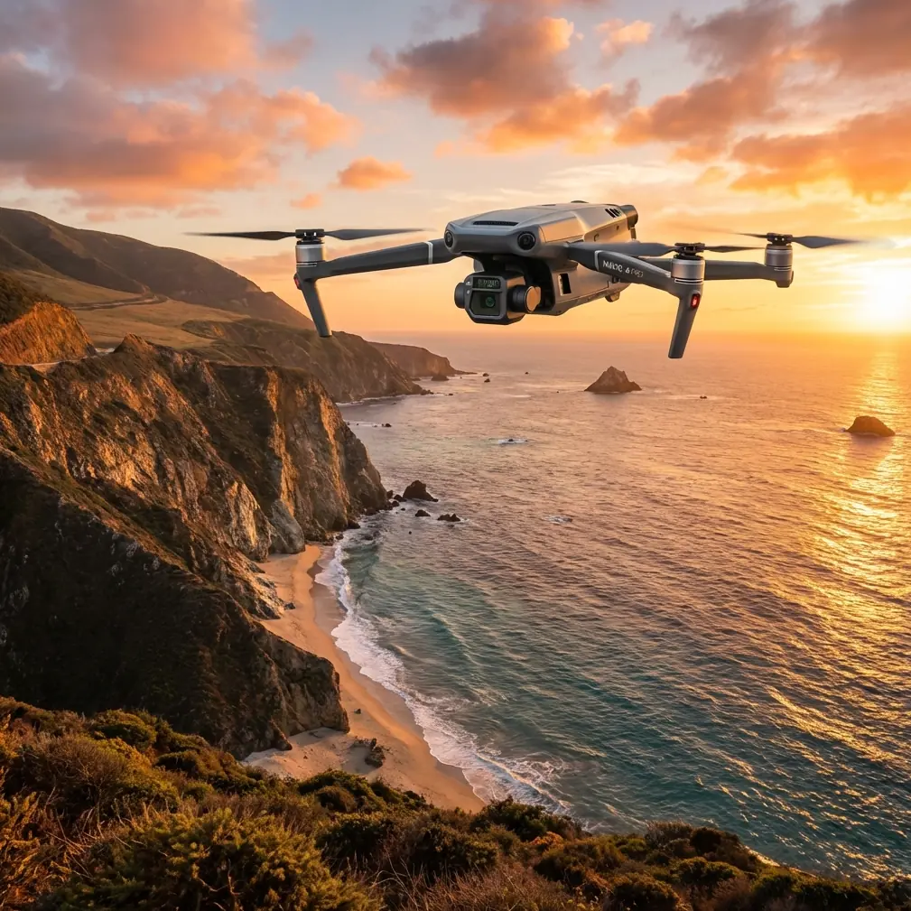
Mavic 3T Filming Tips for Urban Wildlife Surveys
Mavic 3T Filming Tips for Urban Wildlife Surveys
META: Discover expert Mavic 3T filming tips for urban wildlife surveys. Learn thermal signature techniques, antenna positioning, and BVLOS strategies to capture elusive species.
By Dr. Lisa Wang, Drone Survey Specialist | Wildlife Thermal Imaging Researcher
TL;DR
- Antenna positioning at a 45-degree upward angle maximizes O3 transmission range in dense urban environments cluttered with signal interference.
- The Mavic 3T's 640×512 thermal sensor detects wildlife thermal signatures through foliage, darkness, and urban heat clutter—giving you visibility that RGB cameras simply cannot.
- AES-256 encryption protects sensitive wildlife location data from interception, critical when surveying endangered or protected species.
- Mastering hot-swap batteries and photogrammetry workflows lets you cover 3× more survey area per session without losing thermal calibration data.
Why the Mavic 3T Dominates Urban Wildlife Filming
Urban wildlife filming is one of the most technically demanding drone applications in the field today. You're battling signal interference from buildings, managing unpredictable animal behavior, navigating restricted airspace, and fighting thermal reflections off concrete and glass—all simultaneously. The DJI Mavic 3T was engineered for enterprise inspection and survey work, but its triple-sensor payload and robust transmission system make it an unexpectedly powerful tool for urban wildlife professionals.
This technical review breaks down exactly how to configure, position, and operate the Mavic 3T for maximum effectiveness when filming wildlife in cities. Whether you're tracking nocturnal fox populations in London, surveying raptor nests on skyscrapers in Chicago, or mapping bat emergence patterns from highway bridges, the techniques covered here will transform your capture rate.
Understanding the Mavic 3T's Triple-Sensor Advantage
The Mavic 3T carries three distinct sensors that work in concert for wildlife applications:
- Wide Camera: 1/2-inch CMOS, 12MP, 24mm equivalent—ideal for contextual habitat shots
- Zoom Camera: 56× max hybrid zoom (optical + digital), allowing species identification from 200+ meters without disturbing subjects
- Thermal Camera: 640×512 resolution, uncooled VOx microbolometer, temperature range of -20°C to 150°C
The thermal camera is the centerpiece for urban wildlife work. Every warm-blooded animal produces a distinct thermal signature, and the Mavic 3T's sensor resolves temperature differences as small as ≤50mK (NETD). That sensitivity means you can distinguish a roosting pigeon from residual heat on a ledge—a differentiation that cheaper thermal drones consistently fail to make.
Split-Screen and PIP Thermal Overlay
One feature that dramatically improves field identification is the Mavic 3T's ability to display thermal and visible-light feeds simultaneously. Use the picture-in-picture (PIP) mode rather than split-screen when filming. PIP lets you maintain a full-frame thermal view while referencing the RGB feed in a corner inset, which prevents you from losing track of small, fast-moving subjects like urban raptors.
Expert Insight: Set your thermal palette to "Ironbow" rather than "White Hot" when filming in cities at dusk. Ironbow provides better visual contrast between animal thermal signatures and the residual heat radiating from asphalt and building facades, which typically read in the 25-35°C range during summer evenings. White Hot tends to wash out these critical differences.
Antenna Positioning for Maximum O3 Transmission Range
Here is the single most impactful operational adjustment most pilots overlook: antenna positioning on your DJI RC Pro Enterprise controller.
The Mavic 3T uses DJI's O3 Enterprise transmission system, capable of 15km max transmission range in unobstructed conditions. Urban environments slash that range by 40-60% due to signal reflection, absorption, and interference from Wi-Fi networks, cellular towers, and building materials.
To maximize your usable range:
- Angle both controller antennas at 45 degrees, tilting them so the flat faces point toward the drone. The antennas radiate signal from their flat surfaces, not their tips.
- Never point the antenna tips directly at the drone—this creates a signal null zone and is the most common cause of unexpected video feed drops during urban operations.
- Maintain line of sight above roofline level whenever possible. Each building penetration can reduce signal strength by 6-10 dB.
- Position yourself on elevated ground—parking garages, hillsides, or rooftop access points dramatically improve O3 link stability.
- If flying behind a structure for BVLOS operations (with proper authorization), consider using a DJI relay module or stationing a visual observer with radio communication at an intermediate position.
Signal Interference Mitigation
Urban environments are flooded with 2.4GHz and 5.8GHz interference. The O3 system handles frequency hopping automatically, but you can assist it:
- Switch to 5.8GHz manual mode during early morning flights when Wi-Fi congestion is lowest
- Avoid flying within 100 meters of cellular tower arrays mounted on building rooftops
- Set your channel bandwidth to 40MHz for the best balance between range and video quality during survey work
Pro Tip: Before each urban wildlife session, run a spectrum analysis using the controller's built-in diagnostic. Identify the cleanest frequency band available at your specific location and time. Signal environments change dramatically between 6 AM and 6 PM in cities—what worked yesterday morning may not work today.
Thermal Wildlife Survey Methodology
Pre-Flight Calibration
The Mavic 3T's thermal sensor performs a flat-field calibration (FFC) automatically, but you can force a manual FFC before takeoff. Do this every time. Urban thermal environments are complex, and starting with a freshly calibrated sensor ensures your first minutes of footage aren't compromised by drift.
Optimal Flight Parameters for Species Detection
| Parameter | Small Mammals (rats, squirrels) | Medium Mammals (foxes, raccoons) | Birds (raptors, waterfowl) | Bats |
|---|---|---|---|---|
| Altitude (AGL) | 15-25m | 30-50m | 40-80m | 20-40m |
| Flight Speed | 2-3 m/s | 3-5 m/s | 5-8 m/s | 1-2 m/s (hover preferred) |
| Thermal Zoom | 2× | 1× | 1-2× | 2× |
| Gain Mode | High | High | Low (daytime) / High (night) | High |
| Best Survey Time | Pre-dawn / Post-dusk | Post-dusk to midnight | Dawn and dusk | 20-40 min after sunset |
| Frame Rate | 30fps | 30fps | 30fps | 30fps |
Using Photogrammetry for Habitat Mapping
Beyond direct wildlife filming, the Mavic 3T excels at building photogrammetric habitat maps of urban green corridors. Capture overlapping RGB imagery at 75% frontal and 65% side overlap, then process in software like Pix4D or DJI Terra to generate orthomosaics.
Place GCP (Ground Control Points) at a density of at least 5 per hectare for survey-grade accuracy. In urban wildlife studies, accurate habitat maps let you correlate animal movement patterns (captured via thermal) with specific landscape features like hedgerows, drainage channels, and green roofs.
These maps become essential deliverables for municipal wildlife management plans and environmental impact assessments.
Data Security and Sensitive Species Protection
Urban wildlife surveys frequently involve endangered or protected species. Location data for nesting peregrine falcons, rare bat roosts, or reintroduced species must be handled with strict confidentiality. Leaked GPS coordinates have historically led to disturbance by photographers, egg collectors, and even poachers.
The Mavic 3T addresses this with:
- AES-256 encryption on all stored and transmitted data
- Local Data Mode that prevents any data upload to external servers
- Secure microSD and onboard storage that can be physically removed and stored in controlled facilities
- Flight log data that can be exported selectively, redacting sensitive coordinates when sharing reports with non-essential personnel
Always enable Local Data Mode when conducting surveys of protected species. This is not optional—it's a professional and often legal obligation.
Hot-Swap Battery Strategy for Extended Surveys
The Mavic 3T delivers approximately 45 minutes of flight time per battery under ideal conditions. Urban wildlife surveys, especially thermal work at dusk and dawn, demand extended continuous coverage. Here's how to maximize your operational window:
- Carry a minimum of 4 fully charged batteries per session
- Use the DJI Battery Station for field charging if sessions exceed 3 hours
- When performing hot-swap battery changes, do not power off the controller—this preserves your thermal display settings, waypoint mission progress, and PIP configuration
- Mark your battery swap times in your flight log; thermal calibration may drift slightly after power cycling the aircraft, requiring a fresh FFC
A well-organized hot-swap workflow lets a single pilot cover 8-12 km of urban transect in a single dawn session—roughly 3× the coverage of a single-battery approach.
Common Mistakes to Avoid
1. Flying Too Fast Over Survey Transects At speeds above 5 m/s, the thermal sensor's effective detection rate for small mammals drops by over 30%. Slow down. The data you miss at high speed costs far more than the extra battery you'll use.
2. Ignoring Urban Heat Island Effects Concrete, asphalt, and metal roofs retain heat well into the night. Pilots who don't account for this background thermal clutter frequently misidentify warm surfaces as animal thermal signatures. Adjust your temperature span and level controls to narrow the display window around expected animal body temperatures (32-40°C for most mammals).
3. Neglecting GCP Placement in Photogrammetry Skipping ground control points turns your habitat map from survey-grade data into an approximation. Municipal clients and peer-reviewed publications require accuracy, and GCPs are non-negotiable for credible deliverables.
4. Broadcasting on Congested 2.4GHz Without Checking Default 2.4GHz operation in a dense urban environment is asking for signal dropouts. Always run a spectrum scan and consider manual 5.8GHz selection.
5. Failing to Secure Species Location Data Not enabling Local Data Mode and AES-256 protections when surveying sensitive species is a professional liability. Treat location data as confidential by default.
Frequently Asked Questions
Can the Mavic 3T detect cold-blooded animals like reptiles in urban environments?
Cold-blooded species present a significant challenge because their body temperature closely matches their surroundings. However, reptiles basking on thermally distinct surfaces (a cool stone wall in morning sun, for example) can produce a detectable differential of 2-5°C. The Mavic 3T's ≤50mK NETD sensitivity makes this possible, but detection rates are far lower than for mammals. Pair thermal scans with high-zoom RGB identification for best results with reptiles.
What BVLOS authorization do I need for extended urban wildlife transects?
BVLOS (Beyond Visual Line of Sight) operations require specific waivers or authorizations from your national aviation authority—such as an FAA Part 107 waiver in the United States or an Operational Authorization under EU regulations. Urban BVLOS adds complexity due to populated areas and controlled airspace. You'll need a detailed safety case, redundant communication links (the Mavic 3T's O3 system supports this), and often a network of visual observers. Begin the application process 90+ days before your planned survey dates.
How does the Mavic 3T compare to dedicated thermal drones like the DJI Matrice 350 RTK with Zenmuse H30T?
The Matrice 350 RTK with H30T offers a larger 1280×1024 thermal sensor, superior zoom range, and RTK positioning—making it the better choice for large-scale, high-precision surveys. However, the Mavic 3T weighs only 920g compared to the M350's 6.47kg, launches in under 2 minutes, and operates with dramatically lower noise output. For urban wildlife work where stealth, rapid deployment, and portability matter, the Mavic 3T frequently outperforms heavier platforms in practical field results despite its smaller sensor. The right tool depends on your survey area, species sensitivity, and deliverable requirements.
Ready for your own Mavic 3T? Contact our team for expert consultation.