Mavic 3T Wildlife Filming on the Coast: What Actually Works
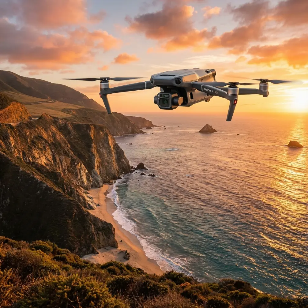
Mavic 3T Wildlife Filming on the Coast: What Actually Works in the Field
META: Practical Mavic 3T wildlife filming tips for coastal environments, with expert insight on thermal detection, wind, low-light tracking, battery strategy, and image workflow.
By Dr. Lisa Wang, Specialist
Coastal wildlife filming looks serene when you watch the finished cut. In the air, it rarely is.
Salt haze softens contrast. Wind shifts by the minute. Wet sand, tidal flats, rock shelves, and reed beds all reflect heat differently. Birds rise without warning. Seals vanish into dark water and reappear where you are not looking. If you are using the DJI Mavic 3T in this environment, the challenge is not simply getting footage. It is getting usable footage without disturbing the animals, while making sense of what the sensors are telling you.
That is where the Mavic 3T becomes more than a compact aircraft with multiple cameras. In the coastal wildlife context, its value comes from sensor interplay. Thermal is not there to create dramatic color palettes. It is there to help you locate and interpret movement when the visible scene is cluttered or low contrast. The tele camera is not just for close-ups. It lets you maintain respectful stand-off distance. And the platform’s transmission and security stack matter because field teams often work from temporary positions with spotty connectivity and sensitive location data.
I have seen this play out on a dawn survey over a tidal estuary where a production team was trying to film Eurasian curlews feeding along a mudflat edge while also documenting a small group of hauled-out seals farther down the shoreline. To the naked eye, the scene looked simple: pale morning sky, grey water, muted shoreline. Through the drone’s sensors, it was anything but simple.
The first problem was detection.
At sunrise, the wet mud held residual overnight coolness while exposed rocks had already started to shift temperature with the first light. The curlews were visually difficult to separate from the background at distance because their forms blended into the tonal flatness of the estuary. Thermal, though, gave the operators a starting point. Not a perfect one. A thermal signature in a coastal setting is always contextual. Birds clustered near reflective water can appear less distinct than expected, while mammals on dry sand often stand out more clearly. But the thermal feed let the team identify where to point the tele camera before making any approach adjustments.
This is the operational significance of thermal on the Mavic 3T: it reduces wasted flight time and unnecessary repositioning. That matters for wildlife, because every avoidable pass is one more chance to alter animal behavior. In filming, discretion is often more valuable than cinematic aggression.
The second problem was distance.
Many wildlife crews make the same mistake with compact drones. They assume proximity creates intimacy. On the coast, proximity often creates exits. Shorebirds flush. Nesting species become agitated. Seals slide off resting sites. The Mavic 3T’s tele capability changes the decision-making. Instead of flying closer for subject scale, you can hold a more conservative position and let the optics do the work. In practice, that means you can establish the animal’s pattern first, then refine framing once you know your presence is not affecting the scene.
This is especially useful with species that telegraph stress subtly before they move. A flock may tighten spacing. One bird may repeatedly look up. A seal may raise its head and orient toward the aircraft. If you are too close when those signs appear, your only remaining move is retreat. If you began farther back with tele, you have room to adjust without losing the sequence.
Transmission reliability is the next issue that gets underestimated.
Coastal locations are deceptive because they often feel open and interference-free. Yet cliffs, harbor infrastructure, moving boats, and changing operator position can all affect signal consistency. The Mavic 3T’s O3 transmission system is a practical advantage here. Not because it sounds impressive on a spec sheet, but because stable live view helps the pilot and camera operator avoid overcorrecting in gusts or while reframing on distant subjects. When you are tracking wildlife near tide channels or along irregular shorelines, smooth situational awareness matters more than flashy maneuvers.
A stable link also supports safer teamwork. One person can focus on aircraft placement while another interprets behavior and shot timing. That division is essential in wildlife filming, where the “best” shot is often the one that does not push the animal into changing course.
Security rarely gets discussed in wildlife media work, but it should. Sensitive species locations, nesting sites, and seasonal congregation areas are not data you want casually exposed. AES-256 encryption on the transmission side is relevant for teams handling protected habitat documentation, research-adjacent filming, or commissioned conservation work. It is not an abstract enterprise feature. It helps protect location intelligence that could otherwise circulate beyond the intended crew.
Then there is endurance.
On paper, battery planning is simple. In coastal filming, it is where many days quietly fall apart. Wind increases draw. Hover time disappears faster than expected when operators hesitate over a developing scene. Long walks between launch points turn each swap into a logistical interruption. If your workflow includes hot-swap batteries on the ground station side of the operation, your turnaround becomes less chaotic and the aircraft spends more time in the air during the short windows when wildlife behavior is most active.
People often use “hot-swap batteries” loosely in field talk to mean a disciplined quick-change power workflow that avoids cooling the operation down between flights. That discipline matters at the coast, because your best filming periods are often compressed into dawn, dusk, or tide-linked movement windows. If terns begin diving along an estuary mouth for six minutes and your battery plan is sloppy, the scene is gone before you are airborne again.
The Mavic 3T also creates opportunities beyond pure filming. Some coastal projects need both cinematic footage and measurable habitat context. This is where photogrammetry enters the conversation. Strictly speaking, the Mavic 3T is not the first aircraft many crews would choose for dedicated large-area mapping. But in mixed-mission work, it can still contribute valuable site understanding when used carefully. If you are documenting dune erosion, marsh edge retreat, or the spatial relationship between nesting zones and human pathways, consistent image capture with proper overlap can support a useful model. Add well-placed GCPs, and your geospatial output becomes far more trustworthy.
That pairing—photogrammetry plus GCP discipline—has real operational significance for coastal wildlife teams. It means the same field deployment can gather footage for storytelling and data for management decisions. A conservation group does not just get a beautiful sequence of avocets crossing a tidal pool. It can also show how the pool margin has shifted since the previous season, or how visitor traffic intersects with sensitive feeding areas.
The thermal layer helps here too, though in a different way. In mapping-adjacent flights, thermal can reveal drainage paths, temperature gradients in intertidal zones, or recently occupied haul-out areas that are easy to miss in RGB imagery. It does not replace ground validation. It tells you where to look next.
One of the more interesting coastal encounters I observed involved a pair of grey seals moving near a narrow inlet at first light while a line of oystercatchers worked the exposed sandbank. The visible image looked flat because of low-angle haze and reflected sky. Thermal picked up the seals first as distinct warm forms against cooler water margins when they surfaced near the channel edge. That allowed the crew to avoid an unnecessary lateral sweep over the resting birds while repositioning to a better angle. The tele camera then isolated the seals without compressing the airspace around them. One sensor found the subject. The other captured it responsibly. That is the Mavic 3T at its best in wildlife work.
There are limits, and pretending otherwise is how crews create bad habits.
Thermal signatures can be misleading in strong sun, over wet reflective surfaces, or when small animals are partially obscured by vegetation. Tele compression can hide how close you really are. Wind over dunes or sea walls can produce turbulence that looks minor from the ground but demands larger control corrections in the air. Even with solid O3 transmission, line-of-sight awareness remains essential, and any talk of BVLOS should stay within the regulatory framework and only where authorized. Coastal wildlife filming is not a place for speculative flying.
Good results come from method, not just equipment.
My recommended problem-solution workflow for Mavic 3T coastal wildlife filming is straightforward:
Start high enough and far enough back to read the whole scene before chasing a subject. Use thermal early to identify active zones, especially in dawn, dusk, or low-contrast weather. Confirm with visible imagery rather than trusting heat alone. Shift to tele for detail once you understand the animals’ pattern and direction. Monitor behavioral cues continuously; if the subject changes posture, spacing, or route in response to the aircraft, widen your buffer immediately. Keep your battery cycle tight and preplanned around tide and light. If the assignment includes habitat context, collect image sequences with mapping discipline and tie them to GCPs where accuracy matters.
That sounds simple. It is not simplistic.
It is a field mindset that treats the aircraft as a sensing platform first and a camera second. For wildlife crews, that order matters. The reason the Mavic 3T works so well in coastal environments is not that it turns difficult conditions into easy ones. It shortens the gap between finding, understanding, and filming a subject without forcing you to intrude.
If you are preparing for a coastal wildlife shoot and want to compare workflow notes with a specialist, you can message here for field setup advice.
A final point deserves emphasis. The best Mavic 3T coastal footage usually comes from restraint. Not dramatic low passes. Not hyperactive orbiting. Not squeezing every minute out of a battery while the weather turns. The aircraft gives you thermal awareness, tele reach, encrypted transmission, and a stable O3 link. Used together, those tools let you work with the shoreline rather than against it.
That is the real advantage.
You detect sooner. Disturb less. Frame better. And when the tide, wind, and wildlife briefly align, you are ready.
Ready for your own Mavic 3T? Contact our team for expert consultation.