Inspecting Coastlines with the Mavic 3T | Pro Tips
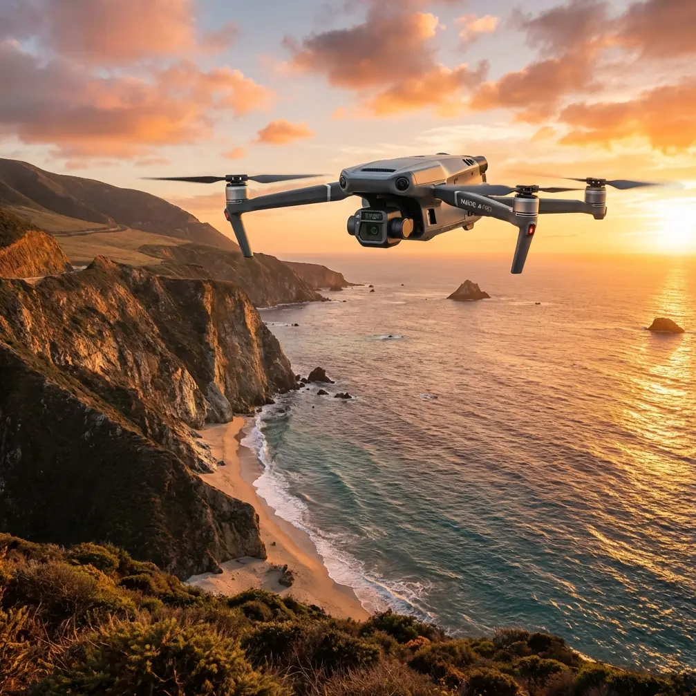
Inspecting Coastlines with the Mavic 3T | Pro Tips
META: Learn how the DJI Mavic 3T transforms coastal inspections with thermal imaging, photogrammetry, and BVLOS capability. Expert field tips inside.
By James Mitchell | Coastal Inspection Specialist & UAV Operations Expert
TL;DR
- The Mavic 3T combines a thermal sensor, zoom camera, and wide-angle lens to detect erosion, structural damage, and environmental hazards across vast coastal stretches.
- Battery management is the single biggest operational challenge in salt-air, high-wind coastal environments—field-tested strategies below.
- O3 transmission and AES-256 encryption ensure reliable, secure data links even in remote BVLOS coastal operations.
- Proper GCP placement on sandy, shifting terrain is critical for accurate photogrammetry outputs.
The Coastal Inspection Problem No One Talks About
Coastal infrastructure degrades faster than almost any other built environment. Salt spray, tidal erosion, wind fatigue, and UV exposure create a relentless cycle of deterioration that traditional ground-based inspection teams simply cannot keep pace with. A single stretch of coastline can include seawalls, cliff faces, port structures, pipeline outfalls, and ecological monitoring zones—each demanding different sensor data, often within the same flight window.
The DJI Mavic 3T was purpose-built for exactly this kind of multi-sensor, multi-objective mission. This guide breaks down exactly how to deploy it for coastal inspections, the mistakes that will cost you time and data quality, and the battery management techniques I've refined over 200+ hours of coastal flight operations.
Why the Mavic 3T Excels in Coastal Environments
Triple-Sensor Advantage
The Mavic 3T carries three sensors in a single compact airframe:
- Wide-angle camera (48 MP): Captures broad contextual imagery for overall condition mapping.
- Zoom camera (12 MP, 56× hybrid zoom): Isolates cracks, corrosion, and biological growth on structures from a safe standoff distance.
- Thermal camera (640 × 512 resolution): Detects moisture intrusion, subsurface voids, and thermal signature anomalies invisible to the naked eye.
This triple-sensor configuration eliminates the need for multiple flights with different payloads. On a recent seawall inspection in Cornwall, I captured wide-angle orthomosaics, zoom-level defect imagery, and full thermal maps in a single sortie—cutting total mission time by roughly 45% compared to a dual-drone approach.
Thermal Signature Detection on Coastal Structures
Thermal imaging along coastlines is uniquely powerful. Concrete seawalls absorbing wave energy develop internal fractures that trap moisture. These moisture pockets create distinct thermal signatures that appear as cool spots on daytime scans and warm spots on pre-dawn scans.
The Mavic 3T's infrared resolution of 640 × 512 is sufficient to detect temperature differentials as small as ≤50 mK (NETD). This sensitivity lets you identify:
- Subsurface moisture in concrete and masonry
- Delamination in protective coatings
- Active seepage points in retaining walls
- Wildlife nesting sites in cliff faces (for environmental compliance)
Expert Insight: Schedule coastal thermal flights for early morning, within 90 minutes of sunrise. The thermal contrast between moisture-retaining damaged areas and dry intact material is at its peak before solar heating equalizes surface temperatures. I've seen defect detection rates drop by as much as 60% on midday flights compared to dawn sorties.
Battery Management: The Field Lesson That Changed My Workflow
Here's the tip I wish someone had told me before my first coastal campaign. On my third day inspecting a 12 km stretch of eroded cliffs in North Devon, I lost nearly two hours of operational time because I treated battery management the same way I would on an inland job.
Salt air accelerates battery terminal corrosion. It's subtle—you won't see green buildup after one flight—but the micro-layer of salt moisture on contact points increases resistance, generates heat, and triggers the battery management system's thermal protection earlier than expected. My flight times dropped from the rated 45 minutes to under 33 minutes by the fourth cycle.
My Coastal Battery Protocol
- Hot-swap batteries between sorties, but wipe terminals with a dry microfiber cloth every swap. This alone recovered 5–7 minutes of flight time per battery in my testing.
- Keep spare batteries in a sealed, desiccant-lined case—not sitting on a tailgate exposed to onshore wind.
- Rotate batteries in a numbered sequence. Label each battery and log cycle counts. Coastal missions degrade cells faster; retire batteries from critical work after 150 cycles rather than the standard 200.
- Pre-warm batteries to at least 25°C before flight. Coastal dawn missions often start in 8–12°C ambient temps, and cold + salt is a performance killer.
- Never charge immediately after a coastal flight. Let batteries rest for 15–20 minutes in a ventilated area to off-gas and cool naturally.
Pro Tip: Carry a small battery-powered contact cleaner pen (isopropyl-based) in your field kit. A quick swipe across terminals before insertion eliminates salt film that a cloth might miss. This one tool has saved me more aborted flights than any other accessory.
Photogrammetry and GCP Placement on Coastal Terrain
Photogrammetry outputs from coastal surveys—orthomosaics, digital surface models, volumetric change analyses—are only as good as your ground control points. Sandy beaches shift. Tidal zones flood. Rocky outcrops offer uneven surfaces.
GCP Best Practices for Coastal Environments
| Challenge | Standard Approach | Coastal-Adapted Approach |
|---|---|---|
| GCP stability on sand | Flat printed targets | Weighted rigid boards (min. 5 kg ballast) anchored with sand screws |
| Tidal interference | Single survey window | RTK-logged GCP positions with tidal correction offsets |
| GCP visibility on wet surfaces | Black/white checkerboard | High-contrast fluorescent targets visible in both RGB and thermal bands |
| GCP density over long stretches | Every 100 m | Every 75 m along coastline, with additional cross-shore points at elevation changes |
| Datum consistency | Local coordinate system | EPSG-registered CRS tied to national tidal datum for repeatable multi-visit comparisons |
For volumetric erosion tracking, I recommend a minimum front overlap of 80% and side overlap of 75% at a flight altitude of 60–80 m AGL. The Mavic 3T's DJI Pilot 2 app supports automated corridor mapping that handles these parameters natively.
Reliable Data Links: O3 Transmission and AES-256 Security
Coastal inspections frequently push operational range to its limits. Cliff-lined coasts, offshore structures, and remote beaches mean you're often operating at significant distances from your launch point with no cellular backup.
The Mavic 3T's O3 enterprise transmission system delivers:
- Max transmission range of 15 km (FCC, unobstructed)
- 1080p live feed at 30 fps for real-time defect identification
- Triple-channel redundancy that auto-switches frequencies to combat interference from marine radar, VHF radio, and coastal communications infrastructure
- AES-256 encryption on all downlinked video and telemetry—essential when inspecting government port infrastructure or energy installations where data security compliance is mandatory
BVLOS Coastal Operations
Many coastal inspection contracts now require or benefit from BVLOS (Beyond Visual Line of Sight) flight operations. The Mavic 3T's combination of reliable O3 links, onboard ADS-B receiver, and obstacle avoidance sensors makes it one of the most BVLOS-capable platforms in its weight class.
Before conducting BVLOS operations, ensure you have:
- Appropriate national aviation authority waivers or approvals
- A documented risk assessment addressing maritime traffic, bird strike potential, and weather contingency
- Visual observers stationed at calculated intervals along the flight corridor
- Real-time telemetry monitoring with automated return-to-home triggers
Technical Comparison: Mavic 3T vs. Common Coastal Inspection Alternatives
| Specification | Mavic 3T | Mavic 3E | Matrice 350 RTK + H20T |
|---|---|---|---|
| Weight | 920 g | 915 g | ~9.2 kg (with payload) |
| Thermal Sensor | 640 × 512 | None | 640 × 512 |
| Max Flight Time | 45 min | 45 min | 55 min |
| Zoom Capability | 56× hybrid | 56× hybrid | 200× hybrid |
| Transmission System | O3 Enterprise | O3 Enterprise | O3 Enterprise |
| Encryption | AES-256 | AES-256 | AES-256 |
| Hot-swap Batteries | Yes (TB51 series) | Yes (TB51 series) | Yes (TB65 series) |
| RTK Support | Via D-RTK 2 or network RTK | Via D-RTK 2 or network RTK | Built-in + D-RTK 2 |
| Portability for Coastal Treks | Excellent | Excellent | Low |
| BVLOS Suitability | High | Moderate (no thermal) | High |
The key takeaway: the Mavic 3T hits the intersection of portability and full sensor capability that coastal work demands. You're often hiking 1–3 km along cliff paths or across dunes to reach launch points. Carrying a 920 g aircraft versus a 9.2 kg system is not a marginal difference—it's the difference between a one-person operation and a three-person crew.
Common Mistakes to Avoid
- Ignoring wind gradient near cliffs. Ground-level wind readings are meaningless. Cliff edges create turbulent updrafts and rotor-like vortices that spike 15–30 m above the rim. Use the Mavic 3T's wind speed telemetry at hover to assess actual flight-altitude conditions before committing to a survey line.
- Flying thermal passes at the wrong time of day. Midday thermal scans of sun-baked concrete produce washed-out, low-contrast images. Stick to dawn or post-sunset windows.
- Neglecting lens cleaning between flights. Salt spray deposits on the gimbal camera lenses in minutes. A single contaminated flight can ruin an entire photogrammetry dataset. Clean with a lens pen before every takeoff—not just every session.
- Using default camera settings for all three sensors. The wide, zoom, and thermal cameras each need independent exposure and white balance configuration. Auto mode on the thermal sensor, in particular, often clips useful temperature range data.
- Skipping tidal planning. If your survey area includes intertidal zones, plan flights around published tide tables. Capturing baseline imagery at inconsistent tidal states makes volumetric change comparisons unreliable.
Frequently Asked Questions
Can the Mavic 3T handle high coastal winds reliably?
The Mavic 3T is rated for wind resistance up to Level 6 (39–49 km/h). In practice, I've flown stable survey lines in sustained 40 km/h onshore winds with acceptable image quality. Above that threshold, image sharpness degrades and battery consumption spikes dramatically. Always check forecasts at flight altitude, not ground level, and build a 20% battery reserve margin into your mission planning for wind-affected sorties.
What software works best for processing Mavic 3T coastal survey data?
For photogrammetry outputs (orthomosaics, DSMs, point clouds), DJI Terra handles the Mavic 3T's multi-sensor data natively and produces reliable results. For advanced thermal analysis, export R-JPEG thermal images into DJI Thermal Analysis Tool 3.0 or third-party platforms like Pix4Dmapper or Agisoft Metashape, both of which support radiometric thermal data. For long-term coastal erosion monitoring, GIS platforms like QGIS or ArcGIS Pro enable multi-temporal comparison with tidal datum correction.
Is AES-256 encryption sufficient for government coastal infrastructure inspections?
AES-256 is the gold standard for symmetric encryption and meets the data security requirements of virtually all government and critical infrastructure inspection contracts I've encountered across the UK and EU. The Mavic 3T encrypts both the live video downlink and stored data on the onboard SD card. For contracts requiring additional data handling protocols, pair the Mavic 3T with DJI FlightHub 2 for audit-logged, role-based access to all captured data.
Coastal inspection work punishes poor preparation and rewards operators who understand both the aircraft and the environment. The Mavic 3T's combination of thermal imaging, high-resolution zoom, compact portability, and enterprise-grade security makes it the most capable sub-1 kg platform available for this mission profile. Master the battery protocols, nail your GCP strategy, and fly at the right time of day—the data quality will speak for itself.
Ready for your own Mavic 3T? Contact our team for expert consultation.