Inspecting Remote Construction Sites with Mavic 3T | Guide
Inspecting Remote Construction Sites with Mavic 3T | Guide
META: Master remote construction site inspections with the Mavic 3T. Expert tips on thermal imaging, battery management, and workflow optimization for challenging terrain.
TL;DR
- Thermal signature detection identifies concrete curing issues and equipment heat anomalies invisible to standard cameras
- O3 transmission maintains stable video feed up to 15km, critical for sprawling remote construction zones
- Hot-swap battery strategy extends daily flight coverage by 300% in locations without charging infrastructure
- Photogrammetry workflows with proper GCP placement deliver 2cm accuracy for progress documentation
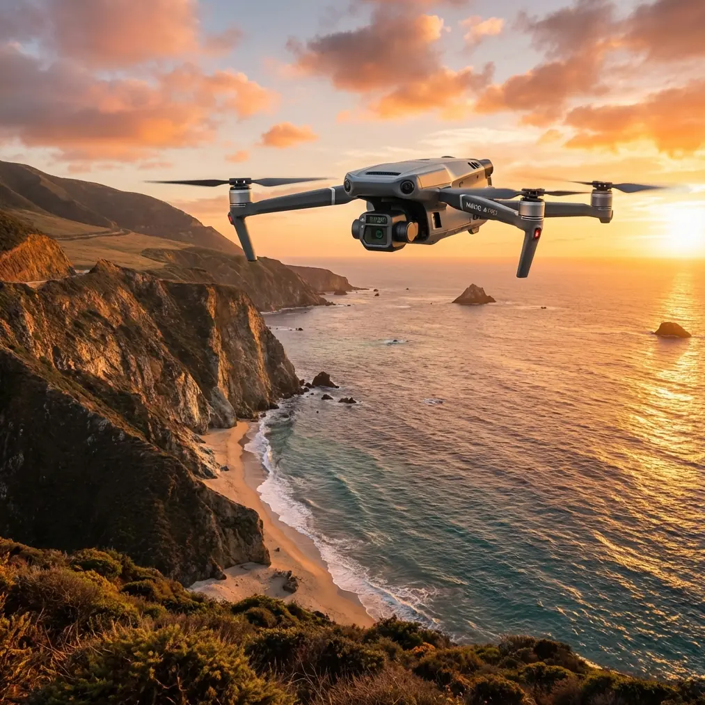
Remote construction site inspections present unique operational challenges that ground-based methods simply cannot address. The Mavic 3T combines a 48MP wide camera, 12MP zoom lens, and 640×512 thermal sensor in a package that transforms how project managers monitor progress, identify safety hazards, and document compliance across difficult terrain.
This guide breaks down field-tested strategies for maximizing the Mavic 3T's capabilities when infrastructure, power, and accessibility work against you.
Why Remote Sites Demand Specialized Drone Solutions
Construction projects in remote locations—mining operations, pipeline corridors, renewable energy installations—share common inspection pain points. Vehicle access requires hours of travel. Walking surveys expose personnel to terrain hazards. Traditional inspection schedules create documentation gaps that delay decision-making.
The Mavic 3T addresses these constraints through three integrated capabilities:
- Multi-sensor payload captures visual, zoom, and thermal data in single passes
- 45-minute flight endurance covers large sites without constant battery cycling
- Compact form factor fits in a backpack for hike-in deployments
Remote sites also lack the cellular connectivity urban inspectors take for granted. The Mavic 3T's AES-256 encryption secures data transmission even when operating through satellite communication relays for real-time stakeholder updates.
Thermal Signature Applications for Construction Monitoring
Thermal imaging reveals construction conditions invisible to standard photography. The Mavic 3T's DFOV mode displays thermal and visual feeds simultaneously, enabling immediate correlation between heat anomalies and their physical sources.
Concrete Curing Verification
Fresh concrete generates heat during the curing process. Thermal scans identify:
- Cold spots indicating insufficient water content or premature drying
- Hot zones suggesting excessive heat buildup risking structural cracking
- Curing blanket gaps where insulation has shifted or failed
Schedule thermal passes during early morning hours when ambient temperature differentials maximize concrete signature visibility.
Equipment Health Monitoring
Heavy machinery scattered across remote sites requires proactive maintenance monitoring. Thermal signatures expose:
- Overheating hydraulic systems before failure
- Electrical connection resistance points
- Bearing wear generating friction heat
- Fuel system leaks appearing as evaporative cooling zones
Expert Insight: Establish thermal baseline scans of critical equipment during normal operation. Subsequent inspections comparing against baseline temperatures catch degradation trends weeks before catastrophic failure—particularly valuable when replacement parts require extended shipping to remote locations.
Subsurface Water Detection
Unexpected groundwater infiltration threatens foundation integrity. Thermal imaging detects moisture presence through evaporative cooling signatures, even when surface conditions appear dry.
Photogrammetry Workflows for Progress Documentation
Accurate volumetric measurements and progress models require disciplined data capture. The Mavic 3T's mechanical shutter eliminates rolling shutter distortion that compromises photogrammetry accuracy in competing platforms.
Ground Control Point Strategy
GCP placement determines model accuracy more than any camera specification. For remote construction sites:
- Position minimum 5 GCPs distributed across the survey area
- Place additional points at elevation transitions (excavations, berms, structures)
- Use high-contrast targets visible in both RGB and thermal imagery
- Survey GCP coordinates with RTK GPS before flight operations
The Mavic 3T's 1/2-inch CMOS sensor captures sufficient detail for GCP identification at 120m AGL, balancing coverage efficiency against ground sampling distance requirements.
Flight Planning Parameters
| Parameter | Recommended Setting | Rationale |
|---|---|---|
| Altitude | 80-120m AGL | Balances GSD against coverage rate |
| Overlap (Front) | 80% | Ensures feature matching in low-texture areas |
| Overlap (Side) | 70% | Maintains stereo geometry |
| Speed | 8-10 m/s | Prevents motion blur at 1/500s shutter |
| Gimbal Angle | -90° (nadir) | Standard orthomosaic capture |
| Camera Mode | Timed interval 2s | Consistent overlap regardless of speed variation |
For sites with vertical structures, add oblique passes at -45° gimbal angle to capture facade details missing from nadir-only missions.
Battery Management for Extended Remote Operations
Here's a lesson learned the hard way during a pipeline corridor inspection in northern terrain: arriving with four batteries and no charging capability meant the entire survey depended on careful power budgeting. The Mavic 3T's 45-minute rated endurance drops to 32-35 minutes in cold conditions with aggressive maneuvering.
Hot-Swap Protocol
Maximize daily coverage through disciplined battery rotation:
- Pre-warm batteries in vehicle or insulated case before flight
- Land with minimum 25% remaining to preserve battery longevity
- Swap immediately while motors retain heat—cold restarts consume extra power
- Store depleted batteries in temperature-stable environment for later charging
- Track cycle counts per battery to identify degradation before field failure
Pro Tip: Carry a portable power station capable of 100W output for emergency charging. Even partial charges during lunch breaks extend operational flexibility when survey scope expands unexpectedly.
Cold Weather Considerations
Remote construction sites often experience temperature extremes. Below 10°C, implement these protocols:
- Hover at 5m altitude for 60 seconds after takeoff to warm battery cells
- Reduce maximum speed to 70% to limit current draw spikes
- Monitor battery temperature through DJI Pilot 2 telemetry
- Abort mission if cell temperature drops below 15°C during flight
O3 Transmission Optimization for Site Coverage
The Mavic 3T's O3 transmission system delivers 1080p/60fps video at distances exceeding practical construction site requirements. However, remote locations present unique signal challenges.
Terrain Interference Mitigation
Mountains, dense vegetation, and metal structures create signal shadows. Maximize link reliability through:
- Elevated launch positions establishing line-of-sight to survey areas
- Antenna orientation perpendicular to aircraft position
- Frequency band selection favoring 2.4GHz for obstacle penetration or 5.8GHz for bandwidth in clear conditions
- Waypoint missions maintaining consistent distance rather than maximum range excursions
BVLOS Operational Considerations
Extended range capabilities enable Beyond Visual Line of Sight operations where regulations permit. Remote construction sites often qualify for BVLOS waivers due to:
- Controlled airspace absence
- Minimal population density
- Defined operational boundaries
- Enhanced safety compared to manned aircraft alternatives
Coordinate with aviation authorities early in project planning—waiver approval timelines extend 90-120 days in most jurisdictions.
Technical Comparison: Mavic 3T vs. Alternative Platforms
| Specification | Mavic 3T | Enterprise Competitor A | Enterprise Competitor B |
|---|---|---|---|
| Thermal Resolution | 640×512 | 320×256 | 640×512 |
| Visual Sensor | 48MP (4/3 CMOS) | 20MP (1-inch) | 45MP (1-inch) |
| Flight Time | 45 min | 42 min | 38 min |
| Transmission Range | 15km (O3) | 10km | 8km |
| Weight | 920g | 1350g | 1250g |
| Zoom Capability | 56× hybrid | 32× hybrid | 40× hybrid |
| Operating Temp | -20°C to 50°C | -10°C to 40°C | -20°C to 50°C |
The Mavic 3T's weight advantage proves decisive for remote operations requiring extended hiking to launch positions.
Common Mistakes to Avoid
Neglecting pre-flight sensor calibration: Thermal accuracy drifts without periodic flat-field correction. Perform calibration against uniform temperature surfaces before critical inspections.
Insufficient overlap in terrain variation: Standard 75% overlap fails where elevation changes rapidly. Excavations and stockpiles require 85%+ overlap to maintain photogrammetric accuracy.
Ignoring wind forecasts: Remote sites lack wind barriers. The Mavic 3T handles 12m/s sustained winds, but battery consumption increases 40% fighting headwinds during return flights.
Single-battery mission planning: Always design missions completable with 80% of single battery capacity. Reserve power handles unexpected obstacles, extended hover requirements, or return-to-home diversions.
Skipping redundant data storage: The Mavic 3T supports simultaneous internal and SD card recording. Enable both—remote sites offer no opportunity for reshoot if storage fails.
Frequently Asked Questions
How does the Mavic 3T perform in dusty construction environments?
The Mavic 3T tolerates moderate dust exposure during normal operations. However, fine particulates accumulate on cooling vents and gimbal mechanisms over time. Implement compressed air cleaning after each field day and inspect motor bearings monthly during intensive construction deployments. Avoid launching during active earthmoving operations when dust clouds reduce visibility and coat optical surfaces.
Can the Mavic 3T thermal sensor detect underground utilities?
Direct underground detection exceeds thermal imaging capabilities. However, buried utilities often create surface temperature differentials through heat transfer or vegetation stress patterns. Recently buried pipes appear as linear thermal anomalies for 2-3 weeks after installation. Water leaks from underground lines create distinctive cooling signatures. Combine thermal surveys with utility locator data for comprehensive subsurface awareness.
What data formats does the Mavic 3T export for construction software integration?
The Mavic 3T captures JPEG and DNG for visual imagery, R-JPEG for radiometric thermal data preserving temperature values per pixel, and MP4 for video. Photogrammetry software including Pix4D, DroneDeploy, and Bentley ContextCapture processes these formats directly. Thermal analysis requires DJI Thermal Analysis Tool or third-party radiometric processors to extract temperature measurements from R-JPEG files.
Remote construction inspection demands equipment matching the operational environment's challenges. The Mavic 3T delivers the sensor integration, transmission reliability, and endurance that transform sporadic site visits into comprehensive monitoring programs.
Ready for your own Mavic 3T? Contact our team for expert consultation.