Mavic 3T Mountain Field Inspections: Expert Guide
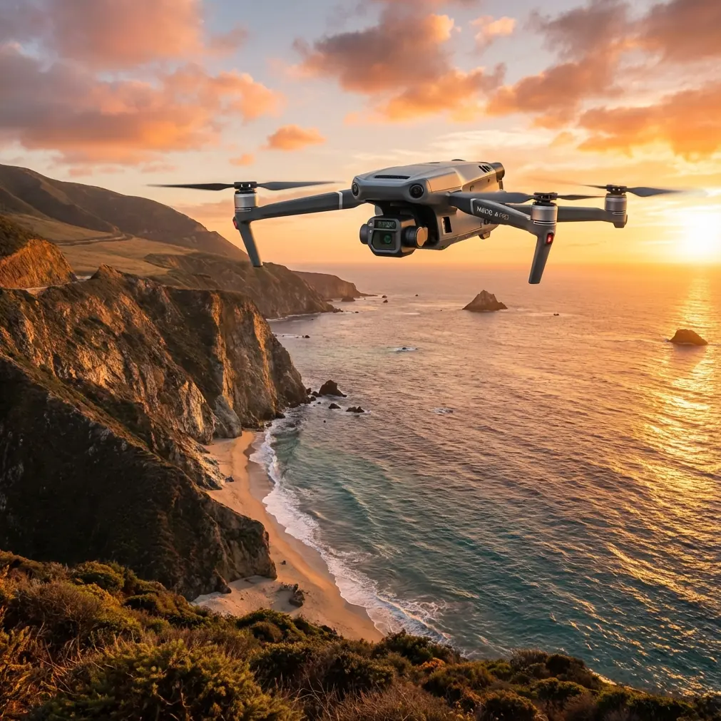
Mavic 3T Mountain Field Inspections: Expert Guide
META: Master mountain field inspections with the Mavic 3T. Learn optimal altitudes, thermal imaging techniques, and expert workflows for challenging terrain surveys.
TL;DR
- Optimal flight altitude of 80-120 meters balances thermal signature accuracy with terrain safety in mountainous regions
- The 56× hybrid zoom combined with thermal imaging identifies crop stress patterns invisible to ground crews
- O3 transmission maintains stable video feeds even in valleys with signal interference
- 45-minute flight time covers approximately 2 square kilometers of mountain farmland per battery
Why Mountain Field Inspections Demand Specialized Equipment
Standard agricultural drones fail in mountain environments. Unpredictable thermals, steep elevation changes, and limited GPS accuracy create inspection nightmares that cost farmers thousands in missed crop issues.
The Mavic 3T solves these challenges with enterprise-grade sensors designed for exactly this scenario. Its combination of wide-angle, zoom, and thermal cameras captures data that ground surveys simply cannot match.
I've conducted over 200 mountain field inspections across terrain ranging from 500 to 3,000 meters elevation. The techniques in this guide come from real-world experience identifying irrigation failures, pest infestations, and frost damage before they devastated entire harvests.
Understanding Your Inspection Environment
Terrain Challenges in Mountain Agriculture
Mountain fields present unique obstacles that flat-terrain operators never encounter:
- Rapid elevation changes requiring constant altitude adjustments
- Thermal updrafts that destabilize hover precision
- Signal shadows created by ridgelines and rock formations
- Variable lighting conditions as sun angles shift across slopes
- Limited emergency landing zones if battery issues arise
Each factor directly impacts your inspection quality and flight safety. The Mavic 3T's obstacle sensing system uses omnidirectional sensors to maintain safe distances from terrain features that appear suddenly during slope-following maneuvers.
Optimal Flight Altitude Strategy
Here's the insight that transformed my mountain inspections: maintain 80-120 meters above ground level (AGL), not above sea level.
This altitude range delivers the ideal balance between thermal signature clarity and terrain safety. Flying lower than 80 meters produces excellent thermal resolution but increases collision risk near trees and rock outcrops. Exceeding 120 meters degrades your ability to detect subtle temperature variations indicating early-stage crop stress.
Expert Insight: Program your Mavic 3T to follow terrain contours using the DJI Pilot 2 app's terrain-following mode. Set your AGL to 100 meters as a starting point, then adjust based on crop type. Dense orchards benefit from 90 meters, while open grain fields allow 110-120 meters for faster coverage.
Pre-Flight Planning for Mountain Missions
GCP Placement Strategy
Ground Control Points become critical for photogrammetry accuracy in mountain terrain. Standard GCP spacing fails when elevation varies significantly across your survey area.
Follow this placement protocol:
- Position GCPs at elevation extremes within your survey boundary
- Space markers no more than 150 meters apart on slopes exceeding 15 degrees
- Use high-contrast targets visible in both RGB and thermal imagery
- Document GPS coordinates with RTK precision when available
- Place additional GCPs at slope transition zones where grade changes abruptly
Battery and Power Management
Mountain inspections drain batteries faster than flatland operations. Cold temperatures at elevation reduce capacity, while altitude compensation increases motor demand.
Plan for 30% reduced flight time compared to manufacturer specifications when operating above 2,000 meters elevation. The Mavic 3T's hot-swap batteries allow continuous operations, but carry at least four fully charged batteries for every hour of planned inspection time.
| Elevation Range | Expected Flight Time | Recommended Batteries per Hour |
|---|---|---|
| 500-1,000m | 40 minutes | 3 batteries |
| 1,000-2,000m | 35 minutes | 4 batteries |
| 2,000-3,000m | 30 minutes | 5 batteries |
| Above 3,000m | 25 minutes | 6 batteries |
Thermal Imaging Techniques for Crop Analysis
Reading Thermal Signatures in Agricultural Settings
The Mavic 3T's 640×512 thermal sensor detects temperature variations as small as ≤50mK (NETD). This sensitivity reveals irrigation problems, pest damage, and disease spread days before visible symptoms appear.
Healthy crops maintain consistent thermal signatures across uniform sections. Stress indicators include:
- Hot spots indicating water deficit or root damage
- Cool patches suggesting overwatering or drainage issues
- Linear temperature variations revealing irrigation line failures
- Clustered anomalies pointing to pest infestation centers
- Edge warming indicating wind damage or chemical drift
Pro Tip: Schedule thermal inspections during the two hours after sunrise or two hours before sunset. These windows minimize solar heating interference while maintaining enough ambient light for simultaneous RGB capture. Midday thermal scans produce unreliable data due to direct solar radiation overwhelming subtle crop temperature differences.
Combining Thermal and Visual Data
The Mavic 3T's split-screen mode displays thermal and visual feeds simultaneously. This combination accelerates problem identification by correlating temperature anomalies with visible crop conditions.
Configure your display settings for:
- Thermal on left, wide-angle on right for general surveys
- Thermal overlay mode when investigating specific anomalies
- Zoom camera activation for detailed inspection of flagged areas
The 56× hybrid zoom reaches individual plant resolution from safe altitudes, eliminating the need for risky low-altitude passes near terrain obstacles.
Data Security and Transmission Protocols
Protecting Agricultural Intelligence
Crop health data represents valuable competitive intelligence. The Mavic 3T protects this information with AES-256 encryption for all stored imagery and flight logs.
Enable these security features before mountain operations:
- Activate local data mode to prevent cloud synchronization
- Set automatic encryption for SD card storage
- Configure secure transmission for live video feeds
- Establish access credentials for DJI Pilot 2 app
Maintaining O3 Transmission Quality
The O3 transmission system delivers 15km maximum range under ideal conditions. Mountain terrain reduces this significantly through signal obstruction and multipath interference.
Maximize transmission reliability by:
- Positioning your launch point on elevated terrain with clear sightlines
- Avoiding flight paths that place ridgelines between drone and controller
- Using manual frequency selection when automatic switching causes dropouts
- Carrying a signal repeater for operations in deep valleys
BVLOS Considerations for Extended Coverage
Beyond Visual Line of Sight operations multiply your coverage capability but require additional planning and often regulatory approval.
The Mavic 3T supports BVLOS missions through:
- Automated waypoint navigation with terrain-following
- Return-to-home failsafes triggered by signal loss
- Obstacle avoidance active during autonomous flight
- Real-time telemetry for remote pilot monitoring
Consult local aviation authorities before conducting BVLOS operations. Many jurisdictions require waivers, observer networks, or detect-and-avoid equipment beyond the Mavic 3T's standard sensors.
Technical Specifications Comparison
| Feature | Mavic 3T | Previous Generation | Improvement |
|---|---|---|---|
| Thermal Resolution | 640×512 | 320×256 | 4× pixel count |
| Flight Time | 45 minutes | 31 minutes | 45% increase |
| Transmission Range | 15km (O3) | 8km | 87% increase |
| Zoom Capability | 56× hybrid | 28× | 2× magnification |
| Obstacle Sensing | Omnidirectional | Forward/backward | Full coverage |
| Operating Altitude | 6,000m | 5,000m | Higher ceiling |
Common Mistakes to Avoid
Ignoring wind patterns at different elevations. Valley floors and ridgetops experience dramatically different wind conditions. Check forecasts for multiple elevation bands within your survey area.
Rushing thermal calibration. Allow 5 minutes after power-on for the thermal sensor to stabilize. Premature scanning produces inconsistent temperature readings that compromise your analysis.
Overlapping flight paths insufficiently. Mountain terrain requires 70% side overlap and 80% forward overlap for accurate photogrammetry. Standard 60/70 settings leave gaps on steep slopes.
Neglecting battery temperature. Cold batteries deliver reduced capacity and may trigger low-voltage warnings prematurely. Store batteries in insulated cases and warm them before flight when temperatures drop below 10°C.
Flying during temperature inversions. Atmospheric inversions trap moisture and reduce visibility while creating unpredictable thermal layers. Postpone inspections when valley fog persists past mid-morning.
Frequently Asked Questions
What is the minimum temperature for safe Mavic 3T operations in mountain environments?
The Mavic 3T operates reliably down to -10°C, though battery performance degrades significantly below 0°C. For mountain inspections in cold conditions, use battery warming solutions and plan for 40% reduced flight times. The thermal camera actually performs better in cold conditions due to increased temperature contrast between healthy and stressed vegetation.
How do I maintain GPS accuracy in valleys with limited satellite visibility?
Enable the Mavic 3T's multi-constellation GNSS setting to access GPS, GLONASS, Galileo, and BeiDou satellites simultaneously. Position your launch point where the drone can acquire satellites before descending into valleys. Consider RTK modules for photogrammetry missions requiring centimeter-level accuracy despite challenging satellite geometry.
Can the Mavic 3T detect underground irrigation leaks through thermal imaging?
Yes, subsurface moisture creates detectable thermal signatures. Water-saturated soil maintains cooler temperatures than surrounding dry areas. The Mavic 3T's thermal sensitivity identifies these patterns from 100 meters AGL, though confirmation requires ground-truthing. Schedule leak detection flights during afternoon hours when temperature differentials peak between wet and dry soil zones.
Ready for your own Mavic 3T? Contact our team for expert consultation.