Mavic 3T in Dusty Field Inspections: A Specialist Case
Mavic 3T in Dusty Field Inspections: A Specialist Case Study on Thermal Clarity, Mapping Discipline, and Real-World Decision Making
META: A field-focused Mavic 3T case study for dusty inspections, covering thermal signature analysis, O3 transmission reliability, AES-256 security, GCP workflows, and operational lessons from wildlife-safe flying.
When operators talk about the Mavic 3T, the conversation often drifts toward the spec sheet. That misses the point. In field inspection work, especially in dry agricultural corridors where dust hangs in the air and visibility changes by the minute, the aircraft earns its place not because of isolated features, but because several systems work together under pressure.
I have been asked more than once whether the Mavic 3T is truly useful for dusty field inspections or whether it is simply a compact aircraft wearing an enterprise badge. The short answer: it is useful, but only when the pilot understands where thermal imaging, visual capture, transmission stability, and disciplined mapping workflows intersect. The difference between a clean inspection and a wasted sortie is rarely the drone alone. It is the operational method.
This case study is drawn from a typical reader scenario: inspecting fields in dusty conditions where surface contrast shifts quickly, heat signatures are misleading at the wrong time of day, and ground access is limited by irrigation channels, machinery routes, and livestock movement. The aircraft at the center is the DJI Mavic 3T, and the practical question is simple: what does it actually do better in this environment, and where does it demand more from the pilot?
Why the Mavic 3T fits this kind of job
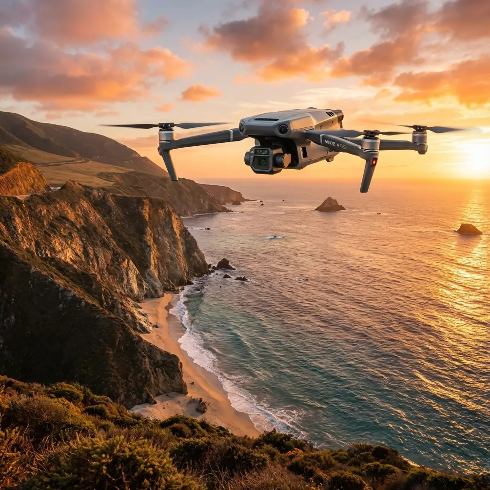
The Mavic 3T is one of the more interesting platforms for field inspection because it sits in a very specific niche. It is portable enough to deploy quickly, yet it carries a thermal payload that changes how an operator reads the landscape. In a dusty agricultural setting, that matters more than many buyers expect.
A standard RGB inspection can tell you a lot. It can reveal wheel rutting, damaged fencing, irrigation irregularities, surface pooling, and stressed crop patches when light is favorable. But dust complicates visual interpretation. Fine airborne particles flatten contrast. Midday glare can wash out color differences. Heat, however, tells a different story. A thermal signature can show a blocked water line, overheated mechanical equipment, or animal presence in brush before the human eye separates it from the background.
That thermal layer is where the Mavic 3T becomes operationally distinct. Not magical. Distinct. In practical use, the aircraft allows an inspector to compare visual cues with temperature anomalies in near real time, rather than relying on a second platform or a delayed review. For field teams working against wind, heat, and access constraints, that fusion saves time and reduces repeat flights.
The inspection scenario: dust, irrigation lines, and a surprise in the grass
On one recent dusty-field inspection pattern, the assignment looked routine. The target area included a set of irrigation runs, boundary fencing, a pump location, and a low-lying section where crop stress had been reported from the ground. Wind was moderate. Dust plumes from nearby vehicle movement drifted intermittently across the field edge. The job required both visual documentation and thermal assessment because the client needed to determine whether the issue stemmed from water distribution, mechanical heat, or broader soil inconsistency.
The Mavic 3T was launched near first light rather than midday for a reason that experienced thermographers will appreciate immediately: early-morning thermal separation is often cleaner. Ground surfaces have not yet absorbed and re-radiated enough solar energy to blur subtle anomalies. That timing gave the pilot a stronger chance of isolating temperature differences along irrigation channels and around the pump assembly.
The unexpected moment came on the second pass. In the rough grass near an access track, the thermal feed showed a compact heat source that did not align with any equipment or pipe geometry. Visual zoom confirmed movement. A young fox had settled in the vegetation just off the route. This is exactly the sort of detail that sounds anecdotal until you consider its operational significance. Wildlife encounters in inspection flights are not side notes. They affect route planning, altitude choice, and loiter behavior. With the Mavic 3T, the thermal signature was visible before the aircraft needed to descend for closer visual confirmation, which allowed the pilot to alter the line, avoid prolonged overhead stress, and complete the mission without pushing the animal.
That matters in two ways. First, it preserves the integrity of the inspection by preventing an avoidable disturbance from becoming the dominant event on site. Second, it shows how thermal data can improve more than asset detection. It also supports safer, lower-impact flight conduct.
Thermal signature interpretation in dusty conditions
A lot of operators make the same mistake with thermal cameras in agricultural settings: they assume every hot spot means a fault. In dusty fields, that assumption can waste hours. Dust-covered surfaces can retain or shed heat differently depending on texture, moisture, and recent equipment movement. Bare soil, metal, plastic pipe, standing water, and compacted vehicle tracks all create different thermal behavior.
The Mavic 3T helps, but it does not absolve the operator from interpretation. In the field case above, one warm line first appeared to suggest a leaking or blocked section of irrigation. On the RGB feed, though, the area showed a recent vehicle crossing that had disturbed the top layer and changed how the ground was radiating heat. A second thermal pass from a slightly different angle, paired with visual confirmation, separated the false lead from the actual issue.
The actual issue was at the pump location, where the thermal view showed elevated heat around a component that should have been operating at a more even temperature. That pattern, when matched with the visible image, pointed to mechanical strain rather than a field-wide watering problem. The lesson is straightforward: thermal imaging is powerful because it narrows the search space. It does not replace field logic.
For dusty inspections, this is where the Mavic 3T earns respect. The operator can move from broad area scan to targeted visual confirmation without switching aircraft or rebuilding the workflow. When conditions are unstable and the dust layer changes throughout the morning, fewer handoffs usually mean better data.
O3 transmission is not a brochure detail out here
In open-field operations, people sometimes underrate the role of transmission quality because the terrain appears simple. In reality, dusty inspection sites are often busy radio environments. Farm machinery, site vehicles, handheld radios, and distance from the takeoff point all test link quality. This is why O3 transmission is not a cosmetic feature. It is operational infrastructure.
A stable feed matters most when the mission depends on subtle interpretation rather than dramatic visuals. You cannot assess a faint thermal signature or make a confident wildlife avoidance decision through a broken, lagging image. The Mavic 3T’s O3 transmission system helps the pilot maintain situational awareness while scanning large sections of field from a conservative position. That reduces unnecessary movement around the site and supports safer stand-off inspection of sensitive areas.
It also changes pilot behavior in a good way. When the link is reliable, the operator is less tempted to chase the aircraft physically to maintain comfort. That means fewer rushed relocations, fewer poor launch-point decisions, and more consistent coverage.
For teams thinking about BVLOS pathways in the future, this is relevant as well. Regulatory approval is a separate matter, and a capable transmission system does not grant operational permission. But workflows built around stable situational awareness, disciplined route design, and clean data logging are part of the maturity that BVLOS-oriented operations require. The Mavic 3T does not turn a field crew into a long-range operator overnight, yet it fits naturally into that more structured mindset.
AES-256 security matters more than many field teams admit
Agricultural and land-inspection data is often treated casually until someone asks who has access to it. That is usually too late. Boundary layouts, thermal anomalies around infrastructure, equipment locations, water system performance, and documented site conditions can all be sensitive. The mention of AES-256 is not there to impress procurement teams. It signals that the data path deserves the same seriousness as the flight path.
For field operators managing client trust, this matters operationally in a very practical sense. If you are transmitting inspection imagery from an active agricultural site, especially one connected to contracts, compliance checks, or insurance claims, you need confidence that the link and data handling are built for professional use. The Mavic 3T’s enterprise posture makes more sense when viewed through that lens. Security is not separate from utility. In inspection work, it is part of utility.
Photogrammetry with a thermal-first aircraft? Yes, with discipline
One misconception about the Mavic 3T is that once an aircraft carries thermal, mapping precision becomes secondary. That is the wrong approach. In dusty field work, broad thermal sweeps can identify areas of interest, but repeatable decision-making often depends on measured context. This is where photogrammetry and GCP discipline enter the picture.
If the mission includes documenting erosion patterns, irrigation alignment, drainage behavior, or recurring stress zones, ground control points help anchor the resulting map to something more defensible than visual impression alone. GCPs are especially valuable when clients compare one inspection cycle against another. Dust changes surface appearance. Seasonal vegetation changes shape and tone. A properly controlled mapping workflow gives you a stable frame of reference.
The Mavic 3T is not a substitute for a dedicated large-area survey platform when maximum mapping throughput is the goal. Still, for mixed inspection missions, combining targeted photogrammetry with thermal scouting is often more useful than many operators realize. The right question is not whether it is the purest mapping tool. The right question is whether it can gather enough spatially coherent evidence to support action on the same day. In many field cases, the answer is yes.
Battery workflow and why hot-swap thinking changes the pace of work
Hot-swap batteries are one of those terms that gets thrown around loosely, but the underlying point is valid. In dusty environments, time on the ground matters. Every additional minute spent exposed at the launch point invites contamination, workflow interruption, and fading thermal conditions. The more efficiently a team can cycle aircraft power and return to the air, the more likely it is to preserve consistent inspection windows.
The Mavic 3T benefits from a field rhythm that resembles hot-swap operations in spirit: land, assess, change power, relaunch with minimal friction. That rhythm is not just about convenience. In thermal inspection, the environment changes quickly. A flight delayed by avoidable resets or disorganized battery handling can move from high-contrast early conditions into flatter, less informative heat patterns.
For dusty field crews, the practical advice is simple. Treat battery staging as part of data quality control. Keep swaps clean, keep logging disciplined, and avoid turning a compact aircraft into a chaotic ground operation.
What the Mavic 3T does not solve by itself
The Mavic 3T is strong in this role, but it does not remove the hard parts. Dust can still degrade visual interpretation. Thermal readings can still be distorted by timing and surface conditions. Mapping outputs can still drift if GCP practices are weak. Wildlife can still appear where the route looked clear ten minutes earlier.
This aircraft rewards operators who think in layers: timing, temperature, transmission, geometry, and site ethics. Launching at the wrong hour can erase thermal advantage. Flying too low over an animal because the image looks clean can turn a precise mission into a poor one. Trusting a single hot spot without visual confirmation can send maintenance teams after the wrong problem.
That is why the best Mavic 3T inspections rarely feel flashy. They feel deliberate.
Final field takeaway
For dusty field inspections, the Mavic 3T is at its best when the mission demands compact deployment, thermal awareness, and enough mapping discipline to turn observations into decisions. Two details stand out operationally. First, the thermal payload changes how quickly a pilot can detect meaningful anomalies, whether that is heat around a stressed pump component or wildlife hidden in rough grass. Second, O3 transmission supports the kind of stable image link that makes those judgments reliable rather than speculative.
Add AES-256 for secure handling of inspection data, and the aircraft starts to look less like a convenient drone and more like a serious field instrument.
If you are building a repeatable inspection workflow around the Mavic 3T, start with morning timing, define where thermal evidence must be confirmed visually, and use GCP-backed photogrammetry when a client needs comparable records rather than one-off impressions. If you want to discuss a field workflow or compare deployment options, you can reach us directly through our inspection planning chat.
The Mavic 3T does not simplify field reality. It reads field reality better than most compact systems, and that is usually what professionals need.
Ready for your own Mavic 3T? Contact our team for expert consultation.