Mavic 3T Field Inspection Tips for Extreme Temperatures
Mavic 3T Field Inspection Tips for Extreme Temperatures
META: Practical Mavic 3T how-to for field inspections in extreme heat or cold, covering thermal setup, battery discipline, O3 transmission, AES-256 security, and photogrammetry workflow decisions.
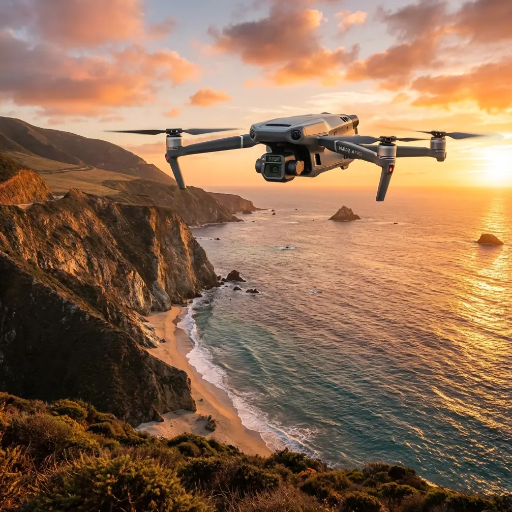
When people talk about the Mavic 3T, they often focus on the thermal camera first. Fair enough. If your job is checking crop stress, irrigation consistency, drainage patterns, tree health, or equipment heat anomalies across large fields, thermal imaging is the reason this aircraft earns a place in the truck.
But extreme temperatures change the way you should fly it.
That is where many field teams lose time. The aircraft is capable. The weak point is usually workflow: launching too early, misreading a thermal signature, mishandling batteries between sorties, or trying to force one flight to do both thermal inspection and photogrammetry-grade collection. The Mavic 3T rewards operators who separate those tasks and manage heat, cold, and battery condition deliberately.
I’ll walk through the process the way I would brief a field crew before a long inspection day.
Start with the mission, not the payload
The Mavic 3T can support several very different inspection goals on the same property. That sounds efficient, but it can create bad decisions in extreme weather.
Ask the first question clearly: what are you trying to see today?
If the answer is thermal contrast, you are hunting for differences in surface temperature. In agriculture and land inspection, that can mean water stress, blocked irrigation lines, uneven soil moisture, roof or pump heating, or electrical hot spots on remote field infrastructure. Thermal is about contrast, timing, and interpretation.
If the answer is measurement or reconstruction, you are really talking about photogrammetry. That means overlap, consistent geometry, and often better use of GCPs if the output needs reliable positional accuracy. A thermal sweep and a mapping mission may happen on the same site, but they should not be treated as the same flight.
That distinction matters more in extreme temperatures because the environment can degrade both battery efficiency and image consistency. Trying to get “everything in one run” usually creates mediocre data in both categories.
In hot and cold weather, timing changes the value of thermal data
The biggest field mistake with thermal inspection is assuming the camera sees truth at any hour. It does not. It sees temperature differences at a moment in time.
In very hot conditions, surfaces can saturate. Ground, metal components, irrigation hardware, access roads, rocks, and even dry vegetation may all absorb and re-radiate heat in ways that flatten the contrast you were hoping to isolate. The thermal image still looks dramatic, but interpretation becomes harder. You may see a hot area without knowing whether it indicates plant stress, reflective surface effects, or simple afternoon heat loading.
In very cold conditions, you get a different problem. Batteries are less forgiving, and thermal scenes can shift quickly as the sun changes the field surface. Frost, dew, cold-soaked equipment, and shaded rows may create patterns that are real but operationally irrelevant.
The practical answer is simple: fly thermal missions during the window when your target anomaly is most likely to separate itself from the background. For field inspections, that often means planning around irrigation cycles, solar loading, and overnight cooling rather than around crew convenience.
A thermal signature only helps if it answers a field question. Do not collect thermal imagery just because the aircraft can.
A battery management tip from the field that saves missions
Here is the tip I wish more crews followed: in extreme temperatures, rotate batteries by temperature condition, not just by charge level.
On paper, a battery at full charge looks ready. In the field, that is not enough. A pack that sat in a freezing vehicle overnight or one that baked in direct sun between flights is not in the same operating state as a battery stored at a moderate temperature. The Mavic 3T may still launch, but your margin shrinks.
My habit is to keep “next-up” packs in a temperature-controlled case and only expose one at a time before launch. In cold weather, I never let the spare packs sit loose on the tailgate while the current flight is airborne. In hot weather, I keep them shaded and insulated from radiant heat rather than leaving them in the cab or dashboard area where they quietly climb far above ambient.
Then I label batteries by use sequence and recent temperature stress. If one pack came back warmer than expected after a high-wind return leg, I do not immediately cycle it back into service, even if schedule pressure says otherwise. Give it time to normalize.
This sounds small. It is not. In extreme environments, disciplined battery rotation improves flight predictability more than most software tweaks ever will.
People often ask whether “hot-swap batteries” are the answer. Operationally, the value is not magical swapping. The value is minimizing downtime while keeping your packs in a controlled readiness cycle. Fast turnaround matters, but only if the next battery is actually healthy for the conditions.
Preflight in heat or cold should include a thermal logic check
A normal checklist covers airframe, props, calibration, weather, home point, and route. For Mavic 3T field inspection, add a thermal logic check before takeoff.
That check has three parts:
What anomaly am I expecting?
Be specific. A stressed irrigation branch should present differently from a warm motor housing on a pump shed.What might imitate it?
Wet soil, reflective metal, compacted tractor tracks, standing water, and sun-exposed equipment can all create misleading patterns.What visible-light confirmation will I use?
Thermal without context leads crews into false positives. The Mavic 3T is strongest when the thermal view is paired with visual confirmation and site knowledge.
This is why I prefer to brief thermal targets row by row or zone by zone before launch. It keeps the crew from chasing every bright or dark patch on the screen.
O3 transmission matters more in field work than many buyers realize
Large properties create a deceptively easy flight environment. Open space looks forgiving. In reality, distance, heat shimmer, tree lines, rolling terrain, and scattered structures can make signal quality uneven.
The Mavic 3T’s O3 transmission system matters here because stable link performance affects both safety and decision quality. For inspection work, you are not just trying to keep control of the aircraft. You are trying to make judgment calls from live imagery. A clean feed lets you evaluate whether a thermal target deserves closer review or whether it is just environmental noise.
In extreme heat, atmospheric shimmer can make visual interpretation harder even when the aircraft is flying well. In cold, line-of-sight can still be interrupted by terrain and shelterbelts. Reliable transmission helps the operator avoid unnecessary repositioning and prevents wasted battery on indecisive hovering.
That said, do not confuse strong transmission with permission to overextend. If your operation includes any planning assumptions around BVLOS, those assumptions belong inside the legal and organizational framework governing your site and region. For most routine field crews, the better habit is disciplined route design, observer positioning where needed, and launch points that preserve visibility and signal quality rather than stretching the aircraft simply because the link can hold.
Use AES-256 as part of an agricultural data workflow, not just a spec-sheet line
AES-256 sounds abstract until you work with field data that actually matters. Agricultural operators, land managers, and infrastructure owners increasingly treat imagery as sensitive business information. Thermal passes can reveal irrigation issues, equipment placement, productivity differences, and operating patterns that should not move loosely between devices.
On the Mavic 3T, secure transmission and data handling are not just IT concerns. They are part of professional field practice. If your workflow includes shared tablets, contractor pilots, cloud syncing, or handoff between agronomy and operations teams, treat image security as seriously as battery discipline.
Operationally, that means deciding before launch where files will live, who reviews them first, and how they are exported. The best security setting is wasted if the SD card gets copied to an unmanaged personal laptop at lunch.
For teams building trust with growers or site owners, this matters. A secure workflow is part of being invited back.
When to use thermal and when to switch to photogrammetry
The Mavic 3T tempts operators to keep thermal front and center all day. That is not always the right move.
Thermal identifies where to investigate. Photogrammetry documents shape, area, elevation relationships, and repeatable visual change over time. If the morning thermal pass highlights suspected irrigation inconsistency, the afternoon job may be a structured visible-light mission to map drainage behavior, crop gaps, erosion channels, or equipment access routes.
This is where GCPs become useful. If your deliverable needs stronger positional confidence than standard onboard positioning can provide, GCPs give the photogrammetry layer more value for downstream decisions. The Mavic 3T is not just a heat-finding tool; it can sit inside a broader field intelligence workflow when the operator knows which method fits which question.
A good rule: use thermal to narrow the problem, then use photogrammetry to define it.
Flight pattern choices for extreme conditions
In mild weather, crews can get away with casual route design. Extreme temperatures punish that laziness.
For thermal field inspection, I prefer shorter, cleaner legs with planned decision points instead of one giant uninterrupted route. That gives you several advantages:
- You can evaluate battery behavior in real time.
- You can compare thermal patterns across field sections before conditions shift.
- You can bring the aircraft back before a weather or temperature-related performance drop becomes a problem.
- You can adjust altitude if the thermal scene is too broad or too noisy.
In strong heat, avoid loitering over low-value areas while debating what the image means. Capture, assess, move. In cold weather, preserve reserve power for the trip home and avoid “just one more pass” thinking.
The quality of inspection work often comes down to restraint.
Interpreting anomalies without overcalling them
Extreme temperatures amplify false confidence. A bright thermal patch looks persuasive. So does a cold corridor through a field. Neither should be accepted without context.
Let’s say you see one section of a field trending warmer than adjacent rows. That might indicate water stress. It might also reflect shallower soil, different crop density, a recent vehicle track, or a timing difference in irrigation delivery. The Mavic 3T gives you a fast directional signal, not automatic diagnosis.
This is where experienced crews separate themselves. They correlate thermal findings with visible imagery, field notes, irrigation schedules, topography, and repeat flights. The aircraft shortens the search. It does not replace agronomic judgment.
If your team is building standard operating procedures and wants to compare notes on field setup, battery handling, or mission profiles for harsh environments, this direct WhatsApp line for practical Mavic 3T discussions is a useful place to start.
A simple extreme-temperature workflow that works
If I were deploying the Mavic 3T on a large field inspection day with heat or cold as a major factor, I would keep the workflow tight:
- Pre-stage batteries in a controlled environment.
- Define whether the first mission is thermal detection or photogrammetry collection.
- Pick the time window based on expected thermal contrast, not crew habit.
- Launch with a short first sortie to validate image interpretation and battery behavior.
- Use O3 transmission quality to support decision-making, not overreach.
- Protect data as part of the field workflow, with AES-256 and controlled file handling.
- Follow thermal anomalies with visible-light confirmation and, where needed, a structured mapping mission using GCPs.
That is not flashy. It is effective.
The Mavic 3T shines in field inspection because it reduces uncertainty quickly. In extreme temperatures, though, the real advantage comes from the operator who understands that battery condition, thermal timing, transmission reliability, and mission separation all influence whether the data is actionable. The aircraft can reveal stress patterns, heat anomalies, and hidden inefficiencies across a property in a fraction of the time ground teams would need. But only if you fly it with discipline.
The best Mavic 3T operators in agriculture are not the ones collecting the most imagery. They are the ones who come back with answers.
Ready for your own Mavic 3T? Contact our team for expert consultation.