Mavic 3T in Remote Forest Inspection: A Technical Review
Mavic 3T in Remote Forest Inspection: A Technical Review from the Field
META: Expert review of the DJI Mavic 3T for remote forest inspection, covering thermal signature detection, O3 transmission, AES-256 security, battery workflow, mapping limits, and practical field upgrades.
Remote forest inspection exposes every weakness in an aircraft. Dense canopy blocks line of sight. Terrain destroys radio geometry. Moisture, heat gradients, and long hikes punish weak workflow decisions before they punish weak hardware. That is why the Mavic 3T deserves a more specific review than the usual broad claims about “enterprise drones.” In forest work, the question is not whether a drone can fly. The question is whether it can collect useful data, repeatedly, in places where retrieval, reflight, and missed targets all carry a cost.
I approach the Mavic 3T from that angle: as a compact aircraft asked to do serious civilian work in remote woodland, plantation corridors, fire-prone areas, watershed buffers, and conservation sites. For that job, its value comes from how several subsystems work together rather than from any single headline feature.
Why the Mavic 3T fits forest inspection better than many larger platforms
The first operational fact that matters is portability. Forest teams rarely launch from open pavement with vehicle support ten meters away. They hike. They move between clearings. They work from rough roads, ridgelines, and temporary staging areas. A platform that stays in the case because deployment is annoying is useless, no matter how impressive its sensor sheet looks.
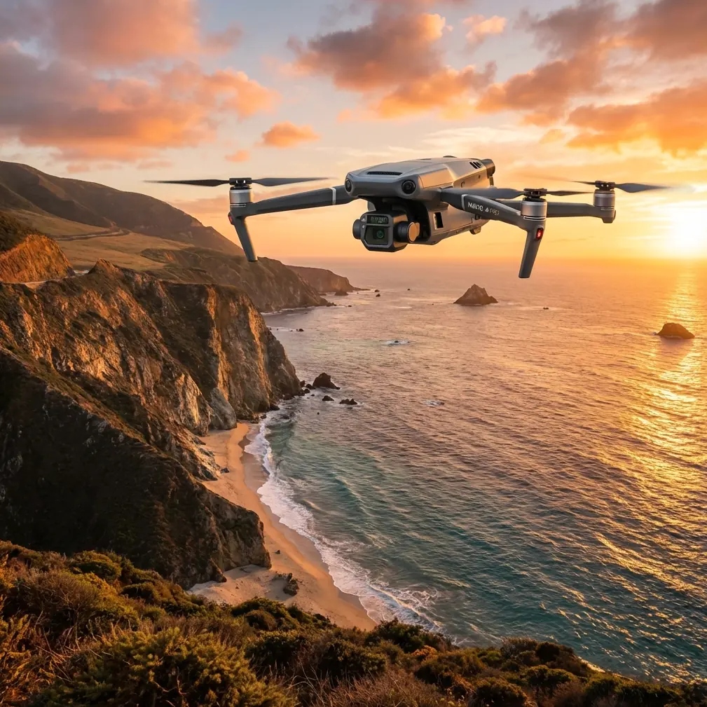
The Mavic 3T solves part of that problem by compressing thermal and visual sensing into a foldable airframe that one specialist can carry without reorganizing the whole field kit. That changes inspection behavior. Teams are more likely to launch for short anomaly checks, not just for large pre-planned sorties. In forests, that matters because many tasks are triggered by uncertainty: a suspected heat source near a boundary, a damaged stand after a storm, a blocked access trail, or irrigation irregularities near managed woodland.
This is also where the aircraft’s hybrid identity helps. It is not just a thermal drone, and it is not just a visual mapping drone. The practical advantage is being able to compare thermal signature and visible context on the same mission without switching platforms. In wooded environments, temperature anomalies are easy to misread when you cannot immediately relate them to species density, ground exposure, standing water, or exposed rock.
The thermal camera is not magic. It is a decision tool.
Most people discussing the Mavic 3T lead with thermal as if thermal automatically creates truth. It does not. In forests, thermal interpretation can be messy. The canopy insulates. Sun load creates false contrast. Moisture flattens differences. Wind shifts apparent signatures. What the Mavic 3T does well is shorten the path between thermal suspicion and visible confirmation.
For inspection teams, this is most useful in a few civilian scenarios.
One is early identification of abnormal heat patterns in forest-edge infrastructure: utility paths, pumps, cabins, solar-fed monitoring stations, and equipment left in remote service zones. Another is detecting stressed vegetation pockets where thermal contrast suggests irrigation failure, disease progression, or drainage issues in managed forest blocks. A third is scanning burn perimeters or post-fire regrowth zones for residual heat retention and material hotspots during environmental assessment work, where safety and access remain concerns.
Operational significance matters more than sensor marketing here. A thermal signature by itself rarely closes the case. It tells the team where to spend time. The Mavic 3T is useful because that handoff is fast. You can mark an anomaly, switch perspective, and decide whether the problem is a warm roof, exposed soil, a waterlogged depression, decaying organic mass, or an actual infrastructure fault.
Visual zoom changes how safely you inspect tall canopy and rough access corridors
Remote forest work often means not wanting to get close. That sounds obvious, but it affects data quality more than many operators admit. Flying low over treetops or narrow cutlines can improve detail while also increasing collision risk, reducing positional confidence, and wasting battery in repeated repositioning.
The Mavic 3T’s tele capability is a major practical asset here. It lets you inspect details from a more conservative standoff distance. In a forest setting, that means you can examine tower interfaces, elevated equipment, access gates, ridge-top assets, or signs of storm damage without pressing the aircraft into cluttered airspace. This is not just about safety. It improves consistency. If pilots can hold cleaner geometry and preserve a buffer from branches, they are more likely to capture usable repeat data over multiple visits.
That repeatability matters for monitoring trends. Forest inspection is rarely a one-flight event. Managers want to know whether erosion widened, whether drainage obstruction worsened, whether tree stress is spreading, whether road access degraded, whether replanting blocks are establishing uniformly. A platform that supports stable repeat inspections has more value than one that chases dramatic one-off imagery.
O3 transmission is one of the least glamorous, most important strengths
The reference context mentioned O3 transmission, and for remote forests that is not a side note. It is central to mission confidence.
Forested terrain is hostile to signal reliability. Ridgelines, trunks, humidity, and terrain masking can all degrade the live link. In practical terms, a strong transmission system does three things for remote inspection teams. First, it reduces the temptation to overfly uncertain ground just to maintain confidence in framing. Second, it supports cleaner decision-making when you are trying to confirm thermal anomalies in real time. Third, it lowers the cognitive load on the pilot, which matters in environments already filled with variables.
Signal quality is not only about range claims. In inspection work, it is about whether the feed remains trustworthy enough to make decisions without constantly second-guessing what the aircraft is actually seeing. The Mavic 3T’s O3 link contributes directly to that. In open promotional language, this tends to get flattened into “good transmission.” In remote forests, that undersells the point. A stable link preserves inspection discipline.
AES-256 is not a checkbox if you work with environmental, utility, or land management data
The second technical detail from the brief that deserves real attention is AES-256. Many articles mention encryption as if it only matters to regulated sectors. That is too narrow.
Forestry inspections can involve sensitive commercial and environmental information: plantation health, private access roads, protected habitats, water infrastructure, high-value timber blocks, and location-tagged imagery of remote assets. Even when the mission itself is routine, the data can be operationally sensitive. Secure storage and transmission practices are not a luxury if your organization shares files with consultants, insurers, engineering teams, or land managers.
AES-256 support matters because it aligns the aircraft with workflows that treat imagery and telemetry as managed assets rather than disposable media. For readers evaluating the Mavic 3T, this is one of those details that looks abstract on paper but becomes very concrete the moment multiple stakeholders need controlled access to field outputs.
Hot-swap batteries: not available in the strict sense, but battery workflow still defines mission quality
The prompt included hot-swap batteries, and this is exactly the kind of phrase that can create sloppy expectations. The Mavic 3T does not function like a larger platform built around true hot-swapping while remaining airborne. You land, swap, and relaunch. Still, battery workflow is mission-critical in remote forests, and the Mavic 3T handles that workflow efficiently enough to matter.
That distinction is worth making because compact enterprise teams often overestimate airborne time and underestimate reset time. In remote inspection, the winning setup is usually not the drone with the biggest frame. It is the kit that keeps cycles tight: quick landing, clear battery rotation, rapid media check, relaunch before the weather or light changes.
When teams plan their field day correctly, multiple batteries effectively simulate continuity. You inspect one corridor, land near a secondary trailhead, swap power, and relaunch into the next segment. The Mavic 3T supports this style of work well because the airframe is fast to redeploy and does not require a large launch footprint. In forest operations, that can be more valuable than theoretical endurance that is harder to use in practice.
Mapping and photogrammetry: useful, but know the platform’s lane
Some readers will want the Mavic 3T to cover both thermal inspection and high-accuracy forest mapping in one aircraft. It can contribute to both, but with limits.
For broad photogrammetry tasks, especially where orthomosaics or surface models are needed for roads, clearings, drainage features, or replanting blocks, the Mavic 3T can produce helpful visual datasets when flights are planned with discipline. Ground control points, or GCPs, become especially important in forest-adjacent mapping because canopy, slope, and irregular terrain can distort confidence in automated outputs. If the job demands defensible spatial products, GCP-backed workflow remains the professional standard.
The caveat is straightforward. Dense canopy reduces what photogrammetry can reconstruct from above. If your objective is under-canopy structure, trunk condition deep inside closed cover, or precise terrain beneath heavy foliage, no compact overhead drone will solve that by itself. In those cases, the Mavic 3T works best as a screening and corridor-mapping tool rather than a substitute for a full geospatial stack.
That said, in mixed environments such as forest roads, firebreaks, utility access routes, creek buffers, and harvested plots, the aircraft can bridge inspection and mapping efficiently. You can identify a thermal anomaly, document visible condition, and collect enough structured imagery to support follow-up planning without changing platforms.
BVLOS conversations need discipline, not bravado
The brief included BVLOS, which often gets thrown around loosely. In remote forest inspection, beyond visual line of sight can sound attractive because the geography is expansive and access is difficult. But the practical truth is simpler: whether BVLOS is appropriate depends on the regulatory framework, risk assessment, terrain, communication reliability, airspace context, and operator approval structure in your region.
What matters for evaluating the Mavic 3T is that its compact enterprise design, transmission robustness, and sensor stack make it a credible candidate in professionally managed remote operations where authorization and procedures support that use. What should be avoided is pretending that capability alone determines legality or safety. In forest inspection, disciplined mission design beats ambition every time.
A third-party accessory that genuinely improves field performance
One accessory has repeatedly proven its worth in remote woodland work: a high-visibility landing pad with weighted corners and moisture-resistant surface material. That sounds almost too ordinary to mention, but it solves several real problems at once. Forest launch sites are dirty, uneven, and often damp. Rotor wash can kick up debris into the aircraft during takeoff or landing. Needles, dust, and small leaf fragments are not dramatic hazards until they affect speed and consistency in the field.
A good third-party pad creates a predictable launch surface, speeds up deployment in rough clearings, and reduces contamination risk when you are cycling batteries all day. It also gives the crew a visual anchor point in cluttered surroundings. Accessories do not need to be flashy to enhance capability. In this case, one simple piece of kit improves aircraft care and sortie rhythm more than many electronic add-ons.
Where the Mavic 3T stands out, and where it does not
The strongest case for the Mavic 3T in forest inspection is not that it dominates every mission type. It does not. Its strength is efficiency. It combines thermal detection, visible confirmation, zoom-based standoff inspection, practical portability, and enterprise-grade data handling in a form factor that encourages actual field use.
Its limitations are equally worth stating. In dense canopy environments, thermal interpretation requires care. Photogrammetry has natural constraints where the ground is hidden by vegetation. Battery changes still mean landing. And any serious long-range or BVLOS-style workflow must be built on local compliance and disciplined planning, not wishful thinking.
Even so, for specialists inspecting remote forest assets, roads, planted blocks, drainage systems, and environmentally sensitive corridors, the Mavic 3T occupies a very useful middle ground. It is small enough to deploy often, capable enough to produce meaningful evidence, and structured enough to support professional reporting.
If you are building a forest inspection workflow and want to compare payload strategy, battery planning, or accessory choices with a specialist, this direct field support channel can help: message a Mavic 3T workflow advisor.
Under real forest conditions, that balance matters more than brochure perfection. The best drone is the one that gets carried to the ridge, launched without drama, returns with usable data, and does it again on the next sector before the weather turns. The Mavic 3T is very good at that particular kind of work.
Ready for your own Mavic 3T? Contact our team for expert consultation.