Highway Inspection Guide: Mavic 3T Wind Operations
Highway Inspection Guide: Mavic 3T Wind Operations
META: Master highway inspections in windy conditions with the DJI Mavic 3T. Expert techniques for thermal imaging, flight stability, and efficient infrastructure surveys.
TL;DR
- Mavic 3T maintains stable flight in winds up to 12 m/s, making it ideal for exposed highway corridor inspections
- Thermal signature detection identifies pavement defects, drainage issues, and structural anomalies invisible to standard cameras
- O3 transmission ensures 15km range with reliable video feed even in electromagnetically noisy highway environments
- Third-party wind speed monitors mounted on survey vehicles provide real-time go/no-go decision data
The Highway Inspection Challenge
Highway infrastructure inspections present unique operational difficulties. Elevated roadways, bridge decks, and open corridors create wind tunnels that ground traditional drone operations. Meanwhile, traffic management costs escalate every hour inspectors remain on-site.
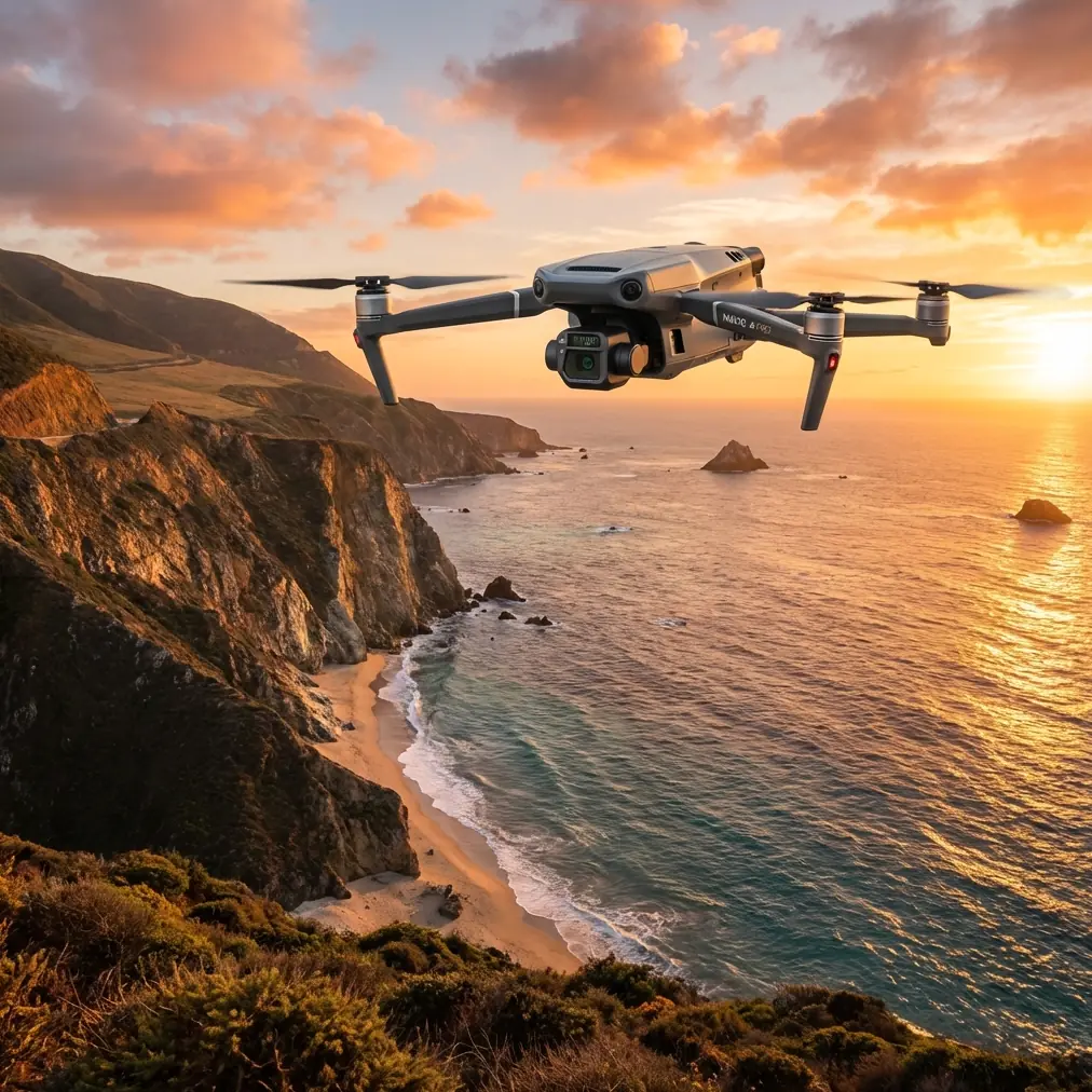
The DJI Mavic 3T addresses these challenges directly. Its mechanical three-axis gimbal compensates for wind-induced movement while the 56× hybrid zoom captures defect details from safe standoff distances. This article breaks down proven techniques for conducting efficient highway inspections when conditions turn challenging.
Understanding Wind Dynamics on Highway Corridors
Why Highways Create Difficult Flight Conditions
Highway environments generate complex airflow patterns. Elevated sections experience laminar wind acceleration as air compresses over guardrails and barriers. Bridge approaches create turbulent vortices that shift unpredictably with traffic flow.
The Mavic 3T's Level 6 wind resistance handles sustained winds at 12 m/s (27 mph). However, raw specifications tell only part of the story. Gusty conditions near overpasses can spike 3-4 m/s above ambient readings within seconds.
Pre-Flight Wind Assessment Protocol
Before launching, establish wind conditions at multiple elevations:
- Ground level: Use vehicle-mounted anemometer for baseline readings
- Inspection altitude: Deploy Mavic 3T briefly to hover and assess stability
- Structure height: Account for acceleration effects near elevated features
- Traffic influence: Heavy truck traffic creates localized turbulence corridors
Expert Insight: I mount a Kestrel 5500 weather meter on my survey vehicle's roof rack. This third-party accessory provides continuous wind logging throughout the inspection day. The data proves invaluable for correlating image quality issues with specific gust events—and for defending inspection validity to clients.
Thermal Signature Applications for Highway Assessment
Pavement Defect Detection
The Mavic 3T's 640×512 thermal sensor reveals subsurface pavement conditions invisible to visual inspection. Thermal signature variations indicate:
- Moisture infiltration beneath asphalt layers
- Void formation from subgrade settlement
- Delamination zones where surface layers separate
- Drainage failures causing water pooling
Optimal thermal imaging occurs during thermal transition periods—early morning or late afternoon when differential heating creates maximum contrast. Midday inspections produce flat thermal signatures that mask defects.
Bridge Deck Analysis
Concrete bridge decks benefit enormously from thermal assessment. Rebar corrosion creates thermal anomalies as oxidizing steel generates heat. Delaminated sections trap air pockets that heat differently than bonded concrete.
The Mavic 3T's split-screen display allows simultaneous thermal and visual monitoring. This capability proves essential for correlating thermal anomalies with visible surface conditions.
Guardrail and Barrier Assessment
Metal guardrails exhibit distinct thermal signatures when structural integrity degrades. Impact damage creates stress concentrations that appear as localized hot spots under solar loading. Missing or loose fasteners show thermal discontinuities at connection points.
Flight Planning for Linear Infrastructure
Photogrammetry Considerations
Highway inspections often require photogrammetric deliverables for engineering analysis. The Mavic 3T's 4/3 CMOS wide camera captures 20MP images suitable for detailed orthomosaic generation.
Key photogrammetry parameters for highway corridors:
| Parameter | Recommended Setting | Rationale |
|---|---|---|
| Front Overlap | 80% | Compensates for wind-induced position drift |
| Side Overlap | 70% | Ensures coverage despite lateral movement |
| Flight Altitude | 60-80m AGL | Balances resolution with coverage efficiency |
| GCP Spacing | 200-300m intervals | Maintains accuracy over linear distances |
| Gimbal Angle | -90° (nadir) | Standard for planimetric mapping |
| Speed | 8-10 m/s | Reduces motion blur while maintaining stability |
GCP Deployment Strategy
Ground Control Points require strategic placement for highway photogrammetry. Position GCPs at:
- Interchange ramps where geometry changes
- Bridge approaches on both sides of structures
- Horizontal curve entries and exits
- Elevation transition zones
The Mavic 3T's RTK module compatibility reduces GCP requirements significantly. However, highway environments often block satellite signals beneath overpasses, making traditional GCPs necessary for complete coverage.
Pro Tip: Paint temporary GCP targets directly on pavement shoulders using high-contrast survey marking paint. This eliminates target retrieval requirements and reduces traffic exposure time for ground crews. The targets wash away within weeks, satisfying DOT temporary marking requirements.
Managing O3 Transmission in Highway Environments
Electromagnetic Interference Challenges
Highway corridors concentrate electromagnetic interference sources. High-voltage transmission lines, cellular towers, and vehicle electronics create RF-dense environments that challenge drone communication links.
The Mavic 3T's O3 transmission system operates on 2.4GHz and 5.8GHz bands with automatic frequency hopping. This dual-band capability maintains connection when single-frequency systems fail.
Maintaining Link Quality
Practical techniques for reliable transmission:
- Position vehicles strategically: Park survey vehicles to maintain line-of-sight with inspection areas
- Antenna orientation matters: Keep controller antennas perpendicular to aircraft position
- Monitor signal strength: Abort missions when signal drops below two bars consistently
- Avoid parallel transmission lines: Fly perpendicular crossing patterns rather than parallel routes
The 15km maximum range provides substantial margin for highway work. However, practical operating distances typically remain under 2km due to visual observer requirements and traffic management constraints.
Data Security for Infrastructure Inspections
AES-256 Encryption Implementation
Highway inspection data often contains sensitive infrastructure information. The Mavic 3T implements AES-256 encryption for data transmission and storage, meeting government security requirements for critical infrastructure documentation.
Enable Local Data Mode through DJI Pilot 2 to prevent any cloud synchronization during sensitive operations. This satisfies most DOT cybersecurity protocols.
Chain of Custody Documentation
Maintain inspection data integrity through:
- Timestamped flight logs exported immediately post-mission
- Hash verification of original image files
- Secure transfer protocols for client delivery
- Backup redundancy using encrypted portable drives
BVLOS Considerations for Extended Corridors
Current Regulatory Framework
Beyond Visual Line of Sight operations enable efficient inspection of extended highway segments. The Mavic 3T's sensor suite supports BVLOS operations through:
- Forward/backward/lateral obstacle sensing
- APAS 5.0 autonomous avoidance
- Return-to-home automation with intelligent path planning
Current FAA regulations require specific waivers for BVLOS highway inspections. Waiver applications strengthen considerably when demonstrating the Mavic 3T's ADS-B receiver integration for manned aircraft awareness.
Visual Observer Positioning
Until BVLOS waivers become routine, visual observer networks extend operational coverage. Position observers at 500-meter intervals along inspection corridors, maintaining radio communication with the pilot in command.
Hot-Swap Battery Operations
Maximizing Flight Time Efficiency
Highway inspection efficiency depends on minimizing ground time between flights. The Mavic 3T's 46-minute maximum flight time provides substantial coverage per battery, but wind resistance reduces this significantly.
Expect 30-35 minutes of practical flight time in 8-10 m/s winds. Stronger conditions reduce this further as motors work harder to maintain position.
Battery Management Protocol
Implement systematic battery rotation:
- Charge batteries to 90% for storage exceeding one week
- Full charge only on inspection day
- Monitor cell voltage balance after each flight
- Retire batteries showing greater than 0.1V cell deviation
- Temperature conditioning: Allow cold batteries to warm before charging
Carry minimum four batteries for half-day highway inspections. Full-day operations require six to eight batteries depending on wind conditions and coverage requirements.
Common Mistakes to Avoid
Ignoring thermal calibration drift: The thermal sensor requires periodic flat-field calibration. Failing to perform this creates inconsistent thermal signatures across image sets, compromising defect detection reliability.
Flying parallel to traffic flow: Aircraft traveling with traffic become difficult for visual observers to track. Always fly perpendicular crossing patterns or against traffic direction.
Overlooking bridge clearance requirements: Inspecting bridge undersides requires careful altitude management. The Mavic 3T's downward sensors may not detect thin structural elements like cable stays or suspension hangers.
Neglecting wind gradient effects: Ground-level wind readings underestimate conditions at inspection altitudes. Always verify conditions at operating height before committing to extended flight patterns.
Insufficient overlap in windy conditions: Standard 75% overlap becomes inadequate when wind causes position drift. Increase to 80-85% to ensure photogrammetric processing success.
Frequently Asked Questions
Can the Mavic 3T operate safely near active highway traffic?
Yes, with proper planning. Maintain minimum 30-meter lateral separation from active lanes and 50-meter vertical clearance above roadway surfaces. Coordinate with traffic management to establish temporary flight corridors during reduced traffic periods when possible.
How does thermal imaging detect pavement problems that visual inspection misses?
Subsurface moisture and voids create thermal mass differences that affect heat absorption and radiation rates. During thermal transition periods, these differences manifest as temperature variations of 2-5°C compared to surrounding intact pavement—invisible to cameras but clearly apparent on thermal imagery.
What wind speed should trigger mission abort during highway inspections?
Sustained winds exceeding 10 m/s with gusts above 12 m/s warrant mission suspension. While the Mavic 3T handles these conditions technically, image quality degrades significantly and battery consumption increases dramatically, reducing operational efficiency below practical thresholds.
Conclusion
Highway inspection in challenging wind conditions demands equipment and techniques matched to the environment's demands. The Mavic 3T delivers the stability, imaging capability, and transmission reliability these operations require.
Success depends on thorough pre-flight assessment, strategic flight planning, and systematic data management. The techniques outlined here represent proven approaches developed through extensive corridor inspection experience.
Ready for your own Mavic 3T? Contact our team for expert consultation.