Mavic 3T in Thin Air: A Field Report on High
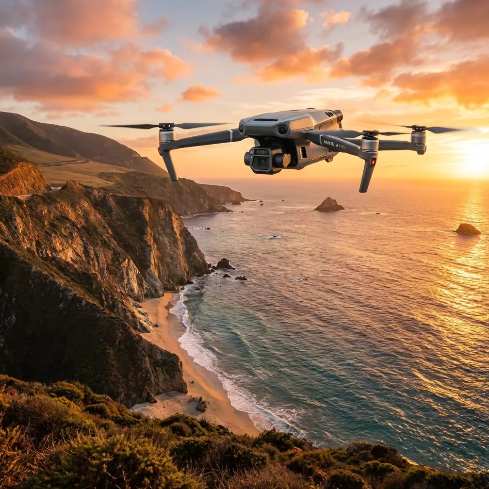
Mavic 3T in Thin Air: A Field Report on High-Altitude Highway Inspection
META: Expert field report on using the Mavic 3T for high-altitude highway inspection, with practical insights on thermal signature reading, reliability planning, materials exposure, and mission execution.
By Dr. Lisa Wang, Specialist
High-altitude highway inspection punishes weak workflow design. Not just weak aircraft. Thin air, long linear assets, sudden weather shifts, glare off guardrails, cold-soaked surfaces, and large elevation changes turn ordinary drone checklists into half-measures.
That is where the Mavic 3T earns its place.
I am not interested in repeating brochure language. What matters in the field is whether the aircraft helps a team find defects faster, document them clearly, and return usable data without building a fragile operation around ideal conditions. On mountain corridors and elevated transport routes, the Mavic 3T stands out because it combines thermal interpretation, visible imaging, stable transmission, and compact deployment in a way that reduces operational friction. That matters more than spec-sheet drama.
What changed my view of the platform was not a single headline feature. It was how the aircraft fit into a disciplined inspection method when the mission involved long stretches of highway at altitude.
The real problem with high-altitude highway work
Highways are not single-point assets. They are systems. Pavement, bridge approaches, drainage structures, retaining walls, tunnel portals, lighting, expansion joints, signs, and power-fed roadside equipment all age differently. At altitude, the environment accelerates uneven wear. Freeze-thaw cycles and moisture intrusion create patterns that are easy to miss in standard visual review. Some defects announce themselves thermally before they are obvious in RGB imagery.
This is why the Mavic 3T is more useful than a conventional compact camera drone in this role. A thermal signature can reveal water retention behind surface layers, abnormal heating in roadside electrical cabinets, or temperature anomalies across repaired pavement sections. That does not replace close engineering judgment. It improves the odds that your team is looking at the right location before deploying boots on the slope or closing a lane.
Competitor aircraft can capture excellent visual data, and some can produce stronger mapping outputs in ideal survey scenarios. But for mixed inspection work on highways, the Mavic 3T excels because it handles two jobs at once: rapid anomaly detection and immediate visual confirmation. That duality saves time where weather windows are short and access is awkward.
Why reliability thinking matters more than people admit
Most drone discussions around highway inspection focus on image quality, zoom range, or battery endurance. Useful, but incomplete.
The more serious issue is system reliability.
One of the source references here comes from an aircraft design handbook discussing parachute system reliability. The context is not drones, but the engineering principle is highly relevant: a system can be broken down into components, and total reliability depends on the reliability of those parts together. In the reference, system reliability is treated as the product of component reliabilities, and for multi-element systems, the more parts that must function, the more carefully the total mission reliability must be evaluated.
That principle belongs in every professional Mavic 3T highway workflow.
A high-altitude inspection mission is not “just fly and film.” It is a chain: GNSS lock, IMU health, battery condition, transmission stability, pilot situational awareness, thermal calibration, waypoint accuracy, data logging, landing area control, and post-flight file integrity. If any one part becomes weak, the mission output degrades even if the aircraft itself never reports a critical fault.
The same reference also notes that in many reliability calculations, a 90% confidence level can be a practical balance when data is limited. Operationally, that is a useful mindset for drone teams. You will never have infinite test data for every mountain road scenario. What you need is a repeatable inspection framework with enough validated mission history to support decisions confidently. That means training crews to treat each flight as a reliability event, not just a content-capture opportunity.
For Mavic 3T operators, this has a direct consequence: standardize mission templates. Standardize battery temperature thresholds. Standardize thermal review timing. Standardize link-failure procedures. Reliability is not a hidden engineering concept; it is the difference between one clean, auditable inspection pass and three repeat deployments because the original dataset was incomplete.
Reading thermal data the right way on highways
Thermal is often oversold by people who do not spend enough time comparing it against visible context. On highways, the Mavic 3T’s value is not that it makes every problem obvious. It is that it helps narrow uncertainty.
A retaining wall with trapped moisture may show a distinct thermal pattern during a suitable inspection window. A tunnel approach can reveal uneven drainage behavior. Overhead electrical equipment or roadside boxes may present localized hotspots. Recently patched pavement can behave differently from adjacent sections. These are not automatic defect verdicts. They are prompts for focused engineering review.
At high altitude, timing is everything. Surface temperature changes can flatten contrast if you fly too late in the day or after abrupt weather shifts. This is where teams using the Mavic 3T outperform less disciplined operators: they plan flights around thermal behavior, not just crew convenience.
I also advise pairing thermal captures with photogrammetry where geometry matters. If a slope, drainage channel, or embankment transition needs repeatable measurement, thermal alone is not enough. Build a visible-light dataset with proper overlap, maintain your GCP strategy where practical, and use thermal as the anomaly layer rather than the only layer. That approach creates evidence, not just suspicion.
Transmission resilience on long corridors
Long highway assets create a communications problem before they create a camera problem. In mountainous terrain, ridges and cut slopes interfere with line-of-sight quickly. This is where O3 transmission becomes more than a spec bullet. Stable video and control link quality directly influence inspection confidence, especially when you are tracing barriers, piers, culverts, or elevated sections along a corridor.
I have seen teams lose more time to conservative repositioning and interrupted inspection rhythm than to actual flight limitations. A robust link lets the pilot maintain a cleaner path and gives the visual observer a more predictable operation. When conditions tighten, predictability is gold.
For organizations handling sensitive infrastructure records, AES-256 also matters. Not because encryption is glamorous, but because highway inspection increasingly involves protected utility interfaces, restricted transport nodes, and contractor data controls. If your workflow includes remote review or file transfer discipline, secure transmission architecture is not a side issue. It is part of professional acceptance.
The overlooked materials lesson for roadside assets
The second source reference deals with aircraft structural protection systems and plating choices. Again, this is not a drone operations manual, but it offers a useful lens for what inspectors should look for around transport infrastructure.
One detail from the reference stands out: nickel plating is described as having better protective performance than silver plating in direct sea-water and sea-fog exposure, while also helping reduce galvanic effects in certain metal contacts. Another detail is more cautionary: plating choices become unsuitable in specific contact conditions, confined spaces, friction-heavy applications, or where hydrogen-related material issues can arise. The text also flags restrictions for high-strength steel parts and notes a threshold around tensile strengths above 1240 MPa for certain surface treatments.
Why does this matter to a Mavic 3T highway inspection team in the mountains?
Because exposed roadside hardware is often a materials story before it becomes a structural failure story. Fasteners, guardrail connections, sign supports, expansion-joint components, and equipment enclosures live in a harsh cocktail of moisture, de-icing chemistry, trapped condensation, vibration, and mixed-metal contact. Thermal imagery will not identify plating chemistry by itself, but it can help you find the locations where protective systems may already be breaking down indirectly through moisture retention, heat anomaly, or coating separation effects around active equipment.
And the operational significance is simple: once you know certain hardware zones are vulnerable to galvanic interaction, condensation traps, or coating mismatch, you stop treating the corridor as visually uniform. You inspect smarter. You prioritize joints, enclosed cavities, fastener clusters, and interfaces between dissimilar metals. That is exactly the kind of intelligence a compact dual-sensor platform can support when used by a trained team.
Where the Mavic 3T beats larger, more cumbersome setups
On paper, bigger platforms can promise longer endurance, more payload flexibility, or broader sensor ecosystems. In some highway programs, those advantages are real. But at high altitude, access and tempo are often more decisive than payload ambition.
The Mavic 3T can be deployed quickly from constrained shoulder areas, temporary lay-bys, maintenance pullouts, or service roads. That sounds mundane until you have fifteen short inspection windows across a mountainous route and weather cells building on the ridgeline. A platform that launches fast, acquires thermal and visible evidence without payload swaps, and recovers cleanly is often more valuable than a heavier system that needs a fuller ground setup.
That is also where hot-swap batteries become part of the planning conversation, even if the aircraft itself is not in the heavy-enterprise class many teams associate with formal battery rotation systems. In practice, teams should build a hot-swap style workflow around preconditioned battery sets, rapid health checks, and staggered charging logistics. At altitude, this reduces dead time and helps maintain thermal consistency across repeat runs.
BVLOS talk needs discipline
Many operators casually throw around BVLOS as if it is simply a range question. For highway inspection, it is not. It is a regulatory, procedural, terrain, and communication question. The Mavic 3T is capable enough to tempt people into overextending operations. Resist that temptation.
What the aircraft does well is support corridor-style mission planning that can be adapted for compliant advanced workflows where permitted, using terrain awareness, segment-based route design, and documented communication procedures. If your authority allows more advanced operational structures, excellent. If not, the aircraft still brings strong value inside a conservative framework.
The point is not to boast about how far it can go. The point is to bring back actionable inspection data repeatedly.
A practical field method I trust
For high-altitude highway work, my preferred Mavic 3T sequence is simple:
Start with a fast visual reconnaissance pass to verify wind behavior, line-of-sight interruptions, and sun angle on key surfaces.
Then run the thermal pass during the best contrast window for the specific defect class you are targeting. Moisture, electrical anomalies, and patch differentials do not all peak at the same time.
Follow with a tighter visible-light documentation segment on flagged areas.
If geometry or deformation is in question, capture a structured photogrammetry set with overlap suitable for modeling and anchor the dataset with GCPs where site access allows and the required accuracy justifies the effort.
Finally, review before demobilization. Never assume the office is the right place to discover that your thermal contrast was marginal or your overlap failed around a critical retaining structure.
That last step is where many teams underperform.
The quiet strength of the platform
The Mavic 3T is not the answer to every highway inspection problem. But for high-altitude corridors, it solves the most common operational bottleneck: getting credible thermal and visual intelligence quickly enough to support maintenance decisions without overbuilding the mission architecture.
That is why it punches above its size.
Its strength is not theoretical capability. Its strength is the way it helps disciplined teams connect anomaly detection, documentation, and operational continuity. Add secure handling with AES-256, practical long-corridor performance through O3 transmission, and a workflow built around reliability rather than improvisation, and you have a field platform that earns trust.
If your team is refining a mountain-road inspection program and wants to compare flight profiles, thermal timing, or data capture logic, you can message me here for a practical workflow discussion.
Ready for your own Mavic 3T? Contact our team for expert consultation.