Mavic 3T in Windy Power-Line Inspection: A Field Report
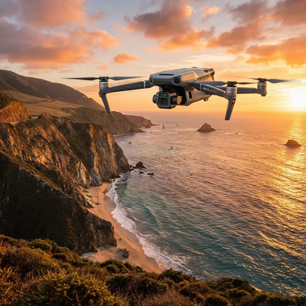
Mavic 3T in Windy Power-Line Inspection: A Field Report on Data Trust, Structure Limits, and One Accessory That Actually Helped
META: Field report on using the Mavic 3T for windy power-line inspection, with practical insights on thermal signature reliability, flight data confidence, and structural discipline.
I spend a lot of time around crews who love to talk about sensors and very little time around crews who talk enough about trust. Not trust in the brand. Trust in the data. Trust in what the aircraft is actually telling you when the wind is pushing it sideways near a line corridor, when heat shimmer is rising off hardware, and when the pilot has one chance to capture a fault indication before the angle is gone.
That is the real story with the Mavic 3T in power-line inspection.
On paper, this aircraft is easy to summarize. In the field, especially in wind, it becomes a question of system discipline. The useful lesson is not that the Mavic 3T has thermal capability or compact deployment advantages. Everyone already knows that. The useful lesson is how a small inspection platform becomes dependable only when you treat its onboard data chain the way civil aircraft design treats core flight systems: every critical output has to be validated across phases, interactions, and loads.
That framing comes straight from classical civil aircraft design practice. One reference from a Chinese civil aircraft design handbook describes how atmospheric data systems are validated across multiple flight phases: takeoff, climb, cruise, turning flight, descent, approach, landing, even automatic landing. Another section explains that flight management computer systems are not judged in isolation; they are verified for correct interaction with autopilot or flight guidance, inertial reference computing, radio navigation, electronic flight instruments, thrust management, and warning logic. Those are transport-aircraft standards, not small-drone operating instructions, but the operational lesson transfers beautifully to the Mavic 3T: never trust one screen, one mode, or one metric by itself in difficult inspection conditions.
For windy power-line work, that matters more than most operators admit.
Why wind changes the entire inspection logic
A calm-day line inspection can make a pilot look smarter than they are. Position hold appears solid. Thermal imagery looks clean. The visible camera gets enough dwell time to read hardware condition without rushing. In wind, the same route turns into a test of cross-checking.
When the aircraft is crabbing to maintain track, the thermal signature of a connector, insulator string, clamp, or splice can appear briefly and then degrade as viewing angle shifts. Tiny positional corrections create motion that is not dramatic to the pilot but is enough to alter image interpretation. Add conductor sway and background clutter, and “I saw a hotspot” becomes a weak statement unless supported by repeatable geometry and consistent acquisition.
This is where I see the best Mavic 3T crews behave less like gadget users and more like system engineers.
They build a workflow around three principles:
- Validate the aircraft’s environmental reading against behavior, not just telemetry.
- Validate observed anomalies in more than one pass or viewpoint.
- Respect structural loading on the aircraft and accessories the same way a larger aircraft engineer would respect a joint limit.
Those principles may sound obvious. In practice, they are what separate a clean inspection record from an ambiguous one.
What atmospheric-data thinking teaches a Mavic 3T operator
One of the reference documents highlights a surprisingly rigorous point: atmospheric data is not accepted as “good” because a computer reports it. It is validated in distinct flight regimes, including climb, cruise, turns, descent, and approach. The significance for a Mavic 3T pilot inspecting power lines in wind is simple: your aircraft’s stability and sensing performance must be judged in context, not as a static capability.
A headwind leg along a corridor is not the same as a beam-wind inspection hover beside a structure. A slow descent toward an inspection angle is not the same as a high-attention lateral reposition with turbulent flow around terrain or built infrastructure. If your team uses one flight template for all of these, you are leaving data quality to luck.
In my own field routines, I divide windy inspections into micro-phases:
- transit to corridor,
- initial hold-off observation,
- offset tracking pass,
- anomaly verification pass,
- close visual confirmation,
- thermal re-check at alternate angle,
- exit leg.
That may seem formal for a compact UAV, but it mirrors the logic of the atmospheric-data validation model from the handbook: sensor confidence changes with flight phase. On the Mavic 3T, this directly affects whether a thermal indication is useful or just interesting.
A hotspot seen during a yawing correction in gusts is not equal to a hotspot seen in a stabilized second pass from a matching offset. If your report does not distinguish between those, the customer gets less certainty than they think.
The hidden value of system cross-checking
The same handbook section on flight management computer systems makes another point that operators should borrow immediately. It stresses that qualification depends heavily on bench testing for accuracy, correct programming, and all sub-modes, but also on verification of proper interaction with autopilot/flight guidance, inertial reference systems, radio navigation, displays, and warning systems.
Why does that matter to a Mavic 3T? Because inspection success in wind is rarely limited by a single feature. It is usually limited by interaction between features.
For example:
- transmission quality affects pilot confidence during fine positioning,
- stabilization behavior affects thermal image consistency,
- display interpretation affects anomaly calls,
- warning or status indications affect the decision to continue or break off.
This is why I tell teams to stop talking about “the thermal camera” as if it operates independently. In reality, the thermal result you trust is a product of the whole chain: aircraft stability, link integrity, display readability, pilot workload, and disciplined re-acquisition.
The Mavic 3T is very good at compressing that chain into a portable platform. The danger is that its convenience can make crews forget they are still managing a tightly coupled system.
O3 transmission, for instance, is not just a brochure spec in line inspection. In windy corridor work, a stable downlink has operational significance because it supports precise interpretation under time pressure. If the image freezes or degrades while the aircraft is correcting in gusts, the pilot may continue flying based on memory rather than present evidence. That is exactly the kind of gap that transport-aircraft system validation tries to eliminate through interaction testing.
AES-256 matters in a different way. Not for marketing, and not because every utility team is obsessed with encryption acronyms. It matters because inspection images, route details, and asset-condition findings can be commercially sensitive. When utilities or contractors are documenting vulnerable infrastructure, data handling is part of operational professionalism. Secure transmission and data stewardship don’t improve thermal contrast, but they absolutely improve trust in the inspection chain.
Wind, structure, and the accessory mistake many teams make
The second reference document is about structural design, specifically wing-joint connection forms used on aircraft such as the Boeing 707, 727, 737, L-1011, DC-6, DC-7, P2V-7, and YS-11. At first glance, that seems miles away from a Mavic 3T. It isn’t.
The handbook compares different connection approaches and repeatedly returns to a few truths: some structures are easier to machine and assemble, some have clearer load paths, some carry torsion poorly, and some are heavier but practical for removable sections. One passage notes that certain multi-joint arrangements are easy to process and assemble but have weak torque-transfer capability. Another highlights an integrated section form with more direct load transmission and good damage tolerance.
That structural logic is exactly what should guide your accessory decisions on the Mavic 3T in wind.
I’ve seen crews add third-party payload mounts, strobes, loud external fittings, oversized landing gear extenders, and improvised shields with very little thought about torsional loading, drag, or vibration. The aircraft may still fly. That does not mean the configuration is wise for power-line inspection.
The third-party accessory that actually improved our workflow was far less dramatic: a high-visibility sun hood and controller screen shield for the pilot station. Not glamorous. Very effective. In bright, windy conditions, it reduced misreads of thermal and visible details on the controller display and cut the tendency to overcorrect position because the image was easier to interpret. That is a real enhancement because it improves the human-system interface without materially altering the aircraft’s structural or aerodynamic behavior.
If you are considering accessories for the Mavic 3T, think like a structural designer, not a catalog shopper. Every attachment changes load paths, airflow, or handling. The handbook’s structural examples remind us that even large certified aircraft rely on connection geometry and direct force transmission for reliability. A small multirotor has less margin for casual modifications, not more.
Hot-swap habits without hot-swap capability
One of the LSI prompts here is hot-swap batteries, and this is a good place to be precise. The Mavic 3T workflow benefits from what I call hot-swap discipline, even if the aircraft itself is not literally performing uninterrupted battery exchange in the way larger enterprise systems may. For windy inspection, battery turnover should be organized so that crew rhythm, aircraft cooling, mission logs, and waypoint or observation notes continue with minimal interruption.
Why this matters: wind drains time and battery faster than many corridor plans assume. If your team lands with a vague note like “possible heating at pole 37 hardware set,” then fumbles the reset between flights, the second sortie often wastes the first third of its useful inspection window trying to rebuild context.
The cure is procedural, not technological:
- log anomaly references before landing,
- tag image sets immediately,
- brief the next takeoff objective before battery change is complete,
- relaunch with a single verification purpose.
That is how a compact aircraft starts behaving like a reliable inspection instrument rather than a flying camera.
Thermal signature discipline beats thermal enthusiasm
The Mavic 3T’s thermal payload is the reason many utilities deploy it first, but thermal work in wind is where enthusiasm can outpace method.
A thermal signature is not a verdict. It is an indicator shaped by angle, emissivity, distance, background temperature, sun loading, and aircraft stability. In power-line work, wind adds convective effects and observation instability. The fix is not to distrust thermal imagery. The fix is to insist on better corroboration.
My preferred sequence is:
- first thermal detection pass,
- second pass at adjusted offset,
- zoomed visible confirmation,
- asset-context frame for location certainty,
- notes on wind behavior and conductor motion.
That sequence sounds slower than simply recording everything and sorting it out later. In reality, it saves time because it reduces “maybe” findings that trigger avoidable revisits.
What about photogrammetry and GCP in a power-line mission?
For pure line inspection, crews often ignore photogrammetry language because it sounds like a mapping team problem. That’s a mistake. Even when your primary output is thermal and visual condition reporting, photogrammetric thinking improves repeatability.
If the corridor inspection includes asset documentation near substations, pole-top hardware environments, or vegetation interfaces, a structured image set can support later measurements and change comparison. Ground control points, or at least carefully documented reference features where GCP deployment is impractical, improve alignment across repeat missions.
For the Mavic 3T, the operational significance is not that it becomes a dedicated mapping machine. It’s that repeatable geometry turns observations into comparable records. When a customer asks whether a hardware issue has progressed since the last windy-season inspection, consistent capture matters more than dramatic screenshots.
BVLOS talk needs restraint
BVLOS is another term that gets thrown around casually. For utility inspection, beyond visual line of sight can expand corridor efficiency, but the real issue is not ambition. It is system maturity. If your team has not already mastered data confidence in close, windy visual-line-of-sight operations, stretching the route farther will not solve anything. It magnifies weak procedures.
A compact aircraft like the Mavic 3T can absolutely fit into serious inspection programs, but only when route design, link monitoring, battery planning, anomaly verification, and data governance are already disciplined. Otherwise BVLOS becomes a multiplier of uncertainty.
The practical checklist I give crews before a windy line mission
Not a laminated slogan sheet. Just the questions that matter.
- What wind direction will dominate your observation side?
- Which assets require thermal first, and which require visible confirmation first?
- Where will you re-fly anomalies for angle verification?
- What is the battery handoff plan between sorties?
- Are you adding any accessory that changes drag, visibility, or balance?
- Is your image review method robust enough to distinguish real heating from poor acquisition?
- How will you secure and organize sensitive infrastructure data?
If a crew wants help refining those procedures for the Mavic 3T, I usually point them to a direct field discussion rather than a spec sheet. A quick operational message through our inspection planning channel is often more useful than another hour debating settings in isolation.
My bottom-line view on the Mavic 3T for windy power-line inspection
The Mavic 3T earns its place when the mission values fast deployment, close-range thermal triage, visual confirmation, and repeatable corridor work without the overhead of a much larger UAV platform. Where crews get into trouble is assuming portability automatically equals simplicity.
It doesn’t.
The two reference handbooks behind this discussion—one focused on validating flight-management and atmospheric-data systems across many flight phases, the other focused on structural load paths and connection behavior—point to the same operational truth. Reliability comes from disciplined integration. Data is only as trustworthy as the system interactions behind it. Accessories are only as smart as their effect on loads, visibility, and handling. Wind exposes every weak assumption.
Treat the Mavic 3T like a serious inspection system, not a convenient camera. Validate what you see. Repeat critical passes. Keep structural modifications conservative. Use secure data practices. Build sortie transitions that preserve context. Do that, and this aircraft becomes far more than a compact thermal platform. It becomes a dependable field instrument for utility inspection in conditions that punish casual workflows.
Ready for your own Mavic 3T? Contact our team for expert consultation.