Mavic 3T Guide: Precision Vineyard Inspections Made Easy
Mavic 3T Guide: Precision Vineyard Inspections Made Easy
META: Master vineyard inspections with the Mavic 3T drone. Learn thermal imaging techniques, flight planning, and data analysis for healthier vines and better yields.
TL;DR
- Thermal signature analysis detects irrigation issues and vine stress up to 72 hours before visible symptoms appear
- The Mavic 3T's 56× hybrid zoom identifies individual grape clusters from 200 meters altitude
- O3 transmission maintains reliable control across sprawling vineyard terrain with 15km range
- Integrated photogrammetry workflows reduce manual scouting time by 65% compared to traditional methods
Why Vineyard Managers Are Switching to Aerial Thermal Inspections
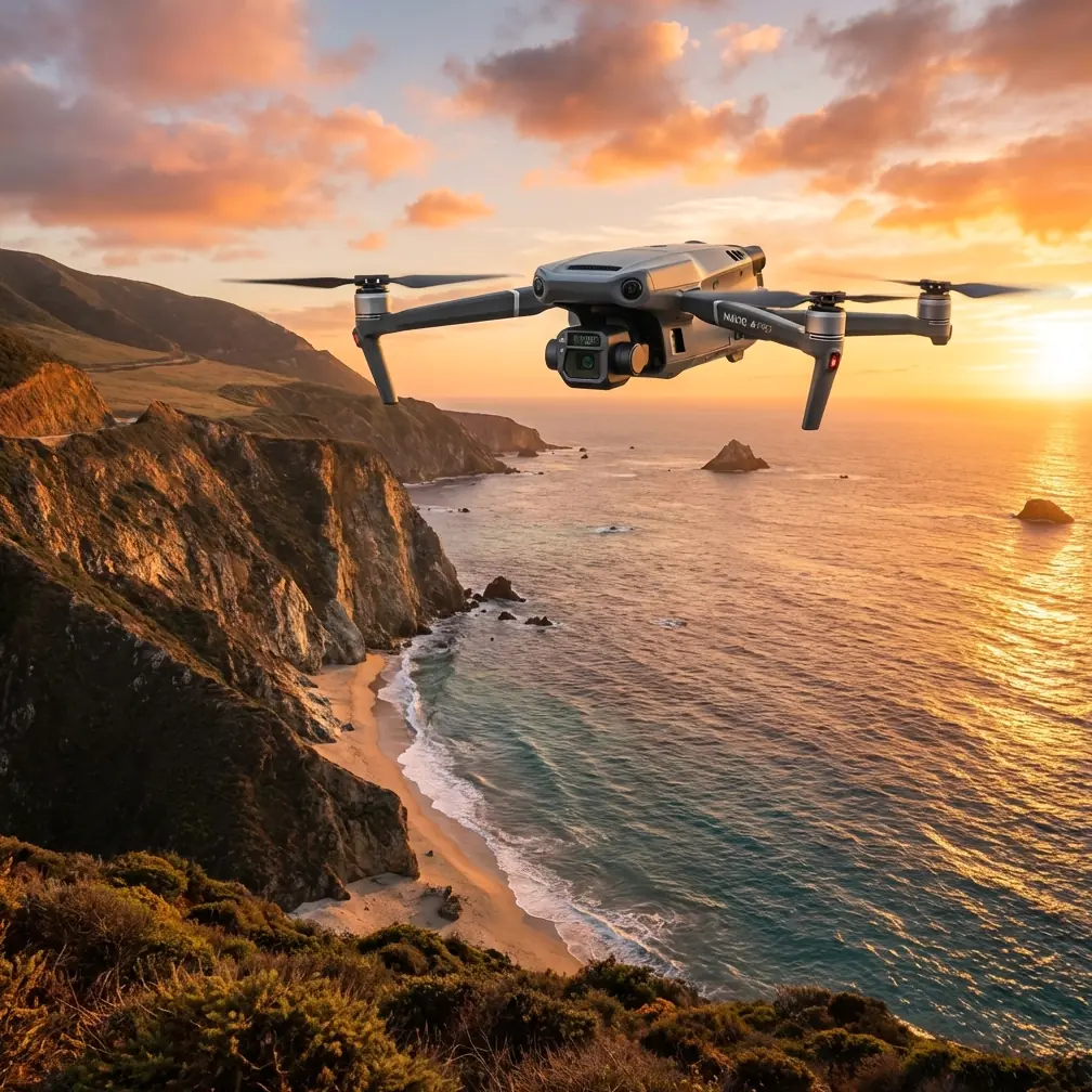
Vine stress costs growers thousands per hectare annually. The Mavic 3T combines a 48MP wide camera, 12MP zoom lens, and 640×512 thermal sensor in a single platform—giving you the diagnostic power to catch problems before they devastate your harvest.
This guide walks you through complete vineyard inspection workflows, from pre-flight planning to actionable data analysis.
Whether you're monitoring irrigation efficiency, detecting disease outbreaks, or assessing frost damage across remote terrain, you'll learn exactly how to leverage each sensor for maximum insight.
Understanding the Mavic 3T's Triple-Sensor Advantage
Wide Camera Applications
The 1/2-inch CMOS sensor captures vineyard-wide orthomosaics with exceptional clarity. At 100 meters altitude, you achieve 2.7cm/pixel ground sampling distance—sufficient to identify individual vine health variations.
Use the wide camera for:
- Creating seasonal comparison basemaps
- Documenting row spacing and canopy coverage
- Generating shareholder and insurance documentation
- Planning GCP placement for photogrammetry projects
Thermal Imaging for Vine Health
The 640×512 uncooled VOx sensor detects temperature differentials as small as ≤50mK (NETD). This sensitivity reveals:
- Water stress patterns invisible to the naked eye
- Underground irrigation leaks through soil temperature anomalies
- Early-stage fungal infections generating metabolic heat
- Frost pocket locations for protective measure planning
Expert Insight: Schedule thermal flights between 10:00 AM and 2:00 PM when solar loading creates maximum temperature contrast between healthy and stressed vines. Early morning flights often show uniform canopy temperatures that mask underlying issues.
Zoom Lens for Targeted Assessment
The 12MP telephoto with 56× hybrid zoom transforms how you investigate anomalies. After thermal scanning identifies problem areas, zoom capabilities let you:
- Examine leaf curl and discoloration without landing
- Count grape clusters for yield estimation
- Identify pest damage on individual shoots
- Document wildlife activity affecting specific rows
Pre-Flight Planning for Remote Vineyard Operations
Site Assessment Checklist
Before deploying to remote vineyard locations, verify:
- Airspace authorization through local aviation authorities
- Cellular coverage for real-time data upload (or plan offline workflows)
- Terrain elevation changes that affect altitude-above-ground calculations
- Obstacle mapping including power lines, wind machines, and bird netting
- Weather windows with winds below 12 m/s for stable thermal data
GCP Placement Strategy
Accurate photogrammetry demands proper ground control point distribution. For vineyards, place GCPs:
- At each corner of your survey area
- Every 100-150 meters along row edges
- On multiple elevation levels if terrain varies
- Away from vine canopy shadows that obscure markers
Minimum recommendation: Five GCPs for areas under 10 hectares, adding one additional point per 5 hectares beyond that threshold.
Battery and Flight Time Calculations
The Mavic 3T delivers 45 minutes maximum flight time under ideal conditions. For vineyard inspections, plan conservatively:
| Flight Type | Realistic Duration | Coverage (100m altitude) |
|---|---|---|
| Thermal survey | 32-35 minutes | 40-50 hectares |
| RGB mapping | 30-33 minutes | 35-45 hectares |
| Detailed inspection | 25-28 minutes | 15-20 hectares |
| Mixed workflow | 28-30 minutes | 25-35 hectares |
Hot-swap batteries eliminate downtime between flights. Carry minimum three batteries for comprehensive single-vineyard assessments.
Step-by-Step Inspection Workflow
Step 1: Establish Your Baseline Flight
Begin each inspection season with a complete RGB orthomosaic. This baseline serves as your reference for all subsequent thermal analysis.
Configure your flight parameters:
- Altitude: 80-120 meters depending on vine spacing
- Overlap: 75% frontal, 65% side minimum
- Speed: 8-10 m/s for sharp imagery
- Gimbal angle: -90° (nadir) for mapping
Step 2: Execute Thermal Survey Patterns
Thermal flights require different parameters than RGB mapping. The sensor's narrower field of view demands adjusted overlap settings.
Optimal thermal configuration:
- Altitude: 60-80 meters for detailed temperature data
- Overlap: 80% frontal, 70% side
- Speed: 5-7 m/s (slower for thermal stability)
- Palette: Ironbow or White Hot for vine contrast
During one recent inspection in a Napa Valley vineyard, the thermal sensor detected a family of wild turkeys moving through the vine rows. The Mavic 3T's obstacle sensing automatically adjusted the flight path, capturing fascinating thermal signatures of the birds while maintaining survey integrity—a reminder that these sensors reveal far more than just vine health.
Step 3: Investigate Anomalies with Zoom
After completing automated surveys, switch to manual control for targeted investigation. The thermal overlay guides you to problem areas.
Pro Tip: Enable split-screen mode to display thermal and zoom feeds simultaneously. This lets you correlate temperature anomalies with visible symptoms in real-time, dramatically accelerating diagnosis.
Step 4: Document Findings with Waypoints
Mark significant findings using the controller's waypoint function. Each saved location includes:
- GPS coordinates accurate to ±1 meter
- Timestamp for temporal tracking
- Associated imagery from all three sensors
- Notes field for preliminary observations
Data Processing and Analysis
Software Recommendations
Process Mavic 3T data through specialized agricultural platforms:
| Software | Best For | Key Feature |
|---|---|---|
| DJI Terra | Quick orthomosaics | Native DJI integration |
| Pix4Dfields | Vegetation indices | Multispectral analysis |
| Agisoft Metashape | Photogrammetry | High-accuracy DSM |
| QGIS | Custom analysis | Free, extensible |
| DroneDeploy | Team collaboration | Cloud processing |
Thermal Data Interpretation
Raw thermal values require calibration for meaningful analysis. Key metrics include:
- Crop Water Stress Index (CWSI): Calculated from canopy-air temperature differential
- Thermal variance: High variance within blocks indicates irrigation non-uniformity
- Temporal comparison: Temperature changes between flights reveal developing stress
Healthy, well-irrigated vines typically show canopy temperatures 2-4°C below ambient air temperature during peak solar hours. Stressed vines approach or exceed ambient temperatures.
Creating Actionable Reports
Transform data into decisions with structured reporting:
- Executive summary with key findings and recommended actions
- Block-by-block analysis with thermal overlays on RGB basemaps
- Priority zones ranked by intervention urgency
- Historical comparison showing changes from previous inspections
- Cost-benefit analysis for recommended treatments
Advanced Techniques for Experienced Operators
BVLOS Operations
Beyond Visual Line of Sight flights unlock efficiency for large vineyard operations. Requirements vary by jurisdiction but typically include:
- Certified observer network or approved detect-and-avoid systems
- Enhanced telemetry through O3 transmission's 15km range
- AES-256 encryption protecting flight data and imagery
- Redundant communication pathways for emergency commands
Multi-Temporal Analysis
Single flights provide snapshots. True vineyard intelligence emerges from temporal patterns.
Schedule systematic flights at:
- Bud break: Establish baseline canopy development
- Flowering: Assess bloom uniformity and frost damage
- Veraison: Monitor ripening progression across blocks
- Pre-harvest: Final yield estimation and quality assessment
- Post-harvest: Evaluate vine recovery and plan winter pruning
Integration with Precision Agriculture Systems
Export Mavic 3T data to variable-rate application equipment. Thermal-derived stress maps translate directly into:
- Targeted irrigation scheduling
- Precision fertilizer application
- Selective pesticide treatment
- Harvest timing by block
Common Mistakes to Avoid
Flying too high for thermal resolution: While higher altitudes cover more ground, thermal detail suffers. Stay below 100 meters for actionable vine-level data.
Ignoring atmospheric conditions: Humidity, wind, and cloud cover dramatically affect thermal readings. Document conditions for each flight to enable valid comparisons.
Overlooking calibration requirements: Thermal sensors drift over time. Perform flat-field calibration monthly and verify against known temperature references.
Processing RGB and thermal separately: Integrated analysis reveals patterns invisible in single-sensor data. Always co-register datasets before interpretation.
Skipping ground-truthing: Aerial data suggests problems; boots-on-ground verification confirms them. Budget time for physical inspection of flagged areas.
Neglecting data backup: The Mavic 3T generates gigabytes per flight. Implement redundant storage immediately after landing—SD cards fail, and vineyard data has narrow seasonal relevance.
Frequently Asked Questions
How often should I inspect my vineyard with the Mavic 3T?
For most operations, bi-weekly flights during the growing season provide optimal balance between data freshness and operational cost. Increase frequency to weekly during critical periods like flowering and veraison, or when addressing active pest or disease pressure. Dormant season inspections can reduce to monthly for infrastructure monitoring.
Can the Mavic 3T detect specific vine diseases?
The thermal sensor identifies physiological stress that often accompanies disease, but cannot diagnose specific pathogens directly. Fungal infections like powdery mildew create detectable thermal signatures 48-72 hours before visible symptoms appear. Use thermal anomalies as early warning indicators, then confirm diagnosis through laboratory analysis or expert visual inspection.
What's the minimum training needed for vineyard drone inspections?
Operators should complete basic drone certification required by their jurisdiction, plus 8-12 hours of platform-specific training on the Mavic 3T. Agricultural interpretation skills require additional development—expect 20-30 hours of mentored flights before producing professional-grade vineyard assessments independently. Many operators partner with agronomists for data interpretation while focusing on flight operations.
Ready for your own Mavic 3T? Contact our team for expert consultation.