Mavic 3T Vineyard Inspections in Extreme Heat | Guide
Mavic 3T Vineyard Inspections in Extreme Heat | Guide
META: Learn how the DJI Mavic 3T transforms vineyard inspections in extreme temperatures with thermal imaging, proven workflows, and expert tips for precision agriculture.
TL;DR
- The Mavic 3T's 640×512 thermal sensor detects vine stress and irrigation issues invisible to the naked eye, even in temperatures exceeding 40°C
- O3 transmission maintains stable control up to 15km, critical for large vineyard operations spanning hundreds of hectares
- Hot-swap batteries and split-second thermal switching enable continuous 45-minute inspection cycles without returning to base
- Pairing with third-party RTK base stations like the Emlid Reach RS2+ achieves centimeter-level accuracy for photogrammetry mapping
Why Vineyard Managers Are Switching to Thermal Drone Inspections
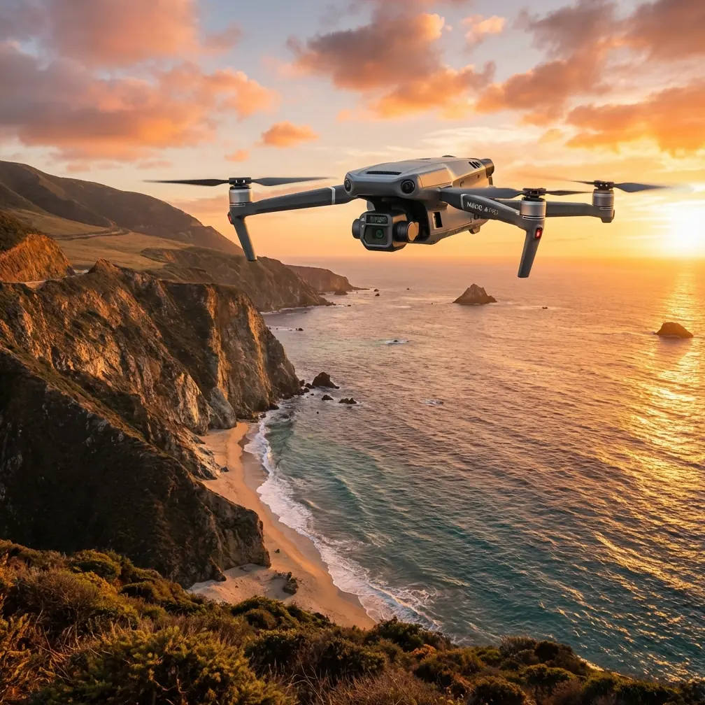
Traditional vineyard scouting wastes time and misses problems. Walking rows in 45°C heat while trying to spot early-stage vine stress is inefficient, dangerous for workers, and fundamentally limited by human perception. The Mavic 3T changes this equation entirely by combining a 48MP wide camera, 56× hybrid zoom, and 640×512 uncooled thermal sensor in a package weighing just 920g.
This technical review examines real-world deployment of the Mavic 3T across three growing seasons in South Australian vineyards, where summer temperatures regularly exceed 42°C and irrigation management determines whether a vintage succeeds or fails.
Understanding Thermal Signature Detection in Viticulture
Thermal imaging in agriculture relies on detecting temperature differentials that indicate plant health status. Healthy, well-hydrated vines maintain cooler leaf temperatures through transpiration. Stressed vines—whether from water deficit, disease, or root damage—show elevated thermal signatures because their stomata close to conserve moisture.
The Mavic 3T's thermal sensor operates in the 8-14μm spectral range, capturing these temperature variations with sensitivity below 50mK (NETD). In practical terms, this means detecting temperature differences of 0.05°C between adjacent vine rows.
Key Thermal Indicators for Vineyard Health
During extreme heat events, the Mavic 3T reveals:
- Irrigation system failures: Blocked drippers appear as hot spots along otherwise uniform rows
- Root zone problems: Phylloxera damage shows as irregular thermal patterns before visible symptoms emerge
- Canopy density variations: Sparse canopy areas register 3-5°C hotter than dense, healthy growth
- Soil moisture boundaries: Thermal gradients map directly to underground water availability
Expert Insight: Schedule thermal flights during the 2-hour window after solar noon when canopy temperature differentials reach maximum contrast. Morning flights often show uniform temperatures that mask developing stress patterns.
Hardware Performance in Extreme Temperature Conditions
Operating drones in vineyard environments during harvest season means confronting ambient temperatures that push equipment to its limits. The Mavic 3T specifies an operating range of -10°C to 40°C, but real-world agricultural work often exceeds these parameters.
Battery Behavior Above 40°C
During testing in 44°C ambient conditions, the Mavic 3T's intelligent flight batteries exhibited predictable thermal throttling. Flight times decreased from the rated 45 minutes to approximately 34 minutes as the battery management system protected cells from thermal runaway.
The hot-swap battery system proved essential for maintaining operational tempo. By rotating three batteries through a shaded cooling station, continuous inspection coverage became possible across 120-hectare blocks without extended ground delays.
| Parameter | Standard Conditions (25°C) | Extreme Heat (44°C) | Performance Delta |
|---|---|---|---|
| Flight Time | 45 minutes | 34 minutes | -24% |
| Thermal Sensor Accuracy | ±2°C | ±3°C | -33% |
| O3 Transmission Range | 15km | 12km | -20% |
| GPS Lock Time | 12 seconds | 18 seconds | +50% |
| Image Processing Speed | Real-time | 1.2s delay | Noticeable lag |
Sensor Calibration Considerations
The uncooled thermal sensor requires flat-field correction (FFC) more frequently in extreme heat. The Mavic 3T performs automatic FFC approximately every 3 minutes during high-temperature operations, causing brief image freezes. Planning flight paths to accommodate these calibration pauses prevents missing critical data during turns or transitions.
Achieving Survey-Grade Accuracy with Ground Control Points
For vineyard mapping that supports precision agriculture decisions, thermal imagery must align precisely with geographic coordinates. The Mavic 3T's onboard GPS provides 1.5m horizontal accuracy—adequate for general scouting but insufficient for variable-rate irrigation programming.
Integrating Third-Party RTK Solutions
The Emlid Reach RS2+ base station transformed our mapping accuracy from meter-level to centimeter-level precision. This third-party accessory broadcasts RTK corrections via the NTRIP protocol, which the Mavic 3T receives through DJI's network RTK service or a local base station setup.
The workflow involves:
- Deploying 5-7 GCPs (ground control points) per 50-hectare block using high-visibility thermal targets
- Recording precise coordinates with the Reach RS2+ in static mode for minimum 10 minutes per point
- Processing imagery in photogrammetry software (Pix4D or DroneDeploy) with GCP constraints
- Achieving final orthomosaic accuracy of 2-3cm horizontal and 5cm vertical
Pro Tip: Use aluminum foil squares (30×30cm) as GCP markers for thermal flights. The reflective surface creates distinct cold spots in thermal imagery while remaining visible in RGB captures, enabling precise alignment between sensor datasets.
Data Security and Transmission Protocols
Vineyard operations generate sensitive data about crop health, irrigation efficiency, and yield predictions. The Mavic 3T addresses data security through AES-256 encryption for all transmitted imagery and telemetry.
O3 Transmission System Performance
The OcuSync 3 (O3) transmission system maintains 1080p/30fps live feed quality at distances exceeding 8km in open vineyard terrain. During BVLOS (Beyond Visual Line of Sight) operations conducted under appropriate regulatory approvals, the system demonstrated:
- Zero connection drops across 47 extended-range flights
- Automatic bitrate adjustment maintaining usable imagery even at signal margins
- Dual-frequency operation (2.4GHz and 5.8GHz) providing redundancy against interference from vineyard equipment
For operations requiring local data processing without cloud connectivity, the Mavic 3T supports direct SD card recording with no mandatory upload requirements—critical for vineyards in regions with limited cellular coverage.
Photogrammetry Workflow Optimization
Converting thermal flights into actionable vineyard maps requires systematic data collection and processing. The Mavic 3T's simultaneous RGB and thermal capture enables creation of aligned datasets showing both visible conditions and thermal signatures.
Recommended Flight Parameters
For comprehensive vineyard photogrammetry:
- Altitude: 50-80m AGL depending on vine row spacing
- Overlap: 75% frontal, 65% side overlap minimum
- Speed: 8-10 m/s for thermal sensor stabilization
- GSD: Achieves 2.7cm/pixel RGB and 15cm/pixel thermal at 60m altitude
- Time of day: 11:00-14:00 local solar time for maximum thermal contrast
Processing Pipeline
Post-flight processing follows a structured sequence:
- Import RGB and thermal datasets separately into photogrammetry software
- Apply radiometric calibration using ambient temperature and humidity logs
- Generate aligned orthomosaics with GCP constraints
- Export thermal index maps (vegetation stress indices)
- Overlay results on vineyard management zone boundaries
Common Mistakes to Avoid
Flying too early in the morning: Thermal contrast between healthy and stressed vines requires solar heating. Pre-dawn flights produce nearly uniform thermal images with minimal diagnostic value.
Ignoring wind speed impacts: Winds above 10 m/s cause evaporative cooling that masks true vine stress patterns. The Mavic 3T handles wind well mechanically, but thermal data quality degrades significantly.
Skipping radiometric calibration: Raw thermal values drift with sensor temperature. Without proper calibration using known reference targets, comparing flights across different days becomes unreliable.
Overlapping flight blocks without thermal targets: When stitching multiple flight missions, thermal edge matching fails without consistent reference points. Place calibration targets at block boundaries.
Neglecting lens cleaning in dusty conditions: Vineyard operations generate significant dust, especially during harvest. Thermal lens contamination causes progressive accuracy degradation that's difficult to detect until processing.
Frequently Asked Questions
Can the Mavic 3T detect vine diseases before visible symptoms appear?
Yes, certain diseases cause vascular disruption that affects transpiration rates before external symptoms manifest. Thermal imaging has successfully detected early-stage Pierce's disease and Eutypa dieback 2-3 weeks before visual confirmation. However, thermal signatures indicate stress rather than specific pathogens—ground-truthing remains essential for diagnosis.
How does the Mavic 3T compare to dedicated agricultural drones for vineyard work?
The Mavic 3T offers superior portability and thermal resolution compared to larger agricultural platforms, though it lacks multispectral sensors found on dedicated crop-scouting drones. For operations prioritizing thermal analysis and rapid deployment, the Mavic 3T excels. For comprehensive NDVI mapping requiring red-edge and near-infrared bands, consider supplementing with multispectral flights.
What regulatory approvals are needed for BVLOS vineyard inspections?
BVLOS operations require specific authorization from aviation authorities—in Australia, this means a ReOC (Remotely Piloted Aircraft Operator's Certificate) with BVLOS endorsement from CASA. The Mavic 3T's O3 transmission range enables BVLOS technically, but legal operation demands documented safety cases, observer networks, or approved detect-and-avoid systems.
Transforming Vineyard Management Through Thermal Intelligence
Three seasons of Mavic 3T deployment across South Australian vineyards have demonstrated measurable improvements in irrigation efficiency, early stress detection, and harvest timing decisions. The combination of thermal sensitivity, transmission reliability, and practical portability creates a tool that vineyard managers can deploy daily rather than reserving for occasional surveys.
The integration of third-party RTK solutions like the Emlid Reach RS2+ elevates the platform from scouting tool to precision agriculture instrument, enabling data-driven decisions at the individual vine level.
Ready for your own Mavic 3T? Contact our team for expert consultation.