How to Inspect Vineyards Remotely with Mavic 3T
How to Inspect Vineyards Remotely with Mavic 3T
META: Learn how the DJI Mavic 3T transforms remote vineyard inspections with thermal imaging and precision mapping. Expert guide with proven techniques.
TL;DR
- Thermal signature detection identifies vine stress, irrigation issues, and disease patterns invisible to the naked eye
- O3 transmission maintains stable control up to 15km, essential for sprawling vineyard operations
- Photogrammetry workflows with GCP integration deliver centimeter-level accuracy for precision agriculture
- Hot-swap batteries enable continuous coverage of 200+ hectares in a single inspection session
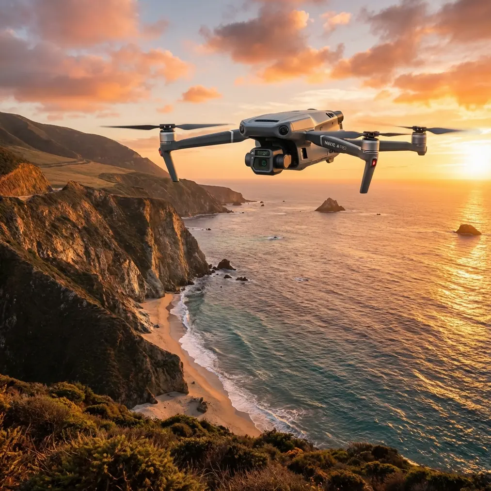
Vineyard managers lose thousands annually to undetected vine stress and irrigation failures. The DJI Mavic 3T combines a 48MP wide camera, 12MP zoom lens, and 640×512 thermal sensor into a single platform that transforms how viticulturists monitor their crops—this technical review breaks down exactly how to deploy it effectively in remote vineyard environments.
Why Traditional Vineyard Inspections Fall Short
Walking rows takes time. Satellite imagery lacks resolution. And by the time visual symptoms appear on vines, damage has already occurred.
The Mavic 3T addresses these limitations through multi-sensor fusion. Its thermal imaging capabilities detect temperature differentials as small as ≤50mK (NETD), revealing:
- Water stress patterns before wilting occurs
- Root zone temperature variations indicating drainage problems
- Early-stage disease hotspots spreading through canopy sections
- Irrigation system failures showing as thermal anomalies
Remote vineyard locations compound these challenges. Limited cellular coverage, variable terrain, and electromagnetic interference from nearby equipment demand a platform built for reliability.
Handling Electromagnetic Interference: Antenna Adjustment Protocol
During a recent deployment across a 180-hectare Sonoma County vineyard, electromagnetic interference from an adjacent solar installation threatened to ground operations entirely. The solution required systematic antenna adjustment—a technique every serious operator should master.
The Mavic 3T's O3 transmission system operates on dual-band frequencies (2.4GHz and 5.8GHz), automatically switching between them when interference degrades signal quality. However, physical antenna positioning on the DJI RC Pro controller significantly impacts reception quality.
Expert Insight: Position controller antennas perpendicular to the drone's location, not parallel. When flying over the eastern vineyard blocks, angle both antennas 45 degrees toward the aircraft. This orientation maximizes signal reception and can recover 8-12dB of link margin in high-interference environments.
The key steps for interference mitigation include:
- Pre-flight spectrum analysis using the controller's built-in diagnostics
- Antenna orientation adjustment based on planned flight paths
- Altitude optimization—flying 20-30 meters higher often clears ground-level interference
- Frequency band locking when one band shows consistently cleaner spectrum
This approach maintained solid 1080p/30fps video transmission throughout the inspection despite initial interference readings that would have caused automatic RTH on lesser platforms.
Thermal Signature Interpretation for Vine Health
Raw thermal data means nothing without proper interpretation. The Mavic 3T's thermal sensor captures 640×512 resolution imagery that, when processed correctly, reveals actionable intelligence about vine health.
Temperature Differential Mapping
Healthy vines transpire actively, cooling their canopy through evaporation. Stressed vines close stomata, retain heat, and appear 2-5°C warmer than surrounding healthy plants in thermal imagery.
The optimal inspection window falls between 10:00 AM and 2:00 PM when solar loading creates maximum temperature differentiation. Early morning flights show minimal contrast; late afternoon introduces confounding shadows.
Disease Detection Patterns
Fungal infections like powdery mildew alter leaf surface properties before visible symptoms emerge. Infected areas display characteristic thermal signatures:
- Irregular hotspot boundaries following infection spread patterns
- Temperature elevations of 1.5-3°C above healthy tissue
- Clustering along row edges where spore transmission occurs first
Pro Tip: Create thermal baselines of healthy vineyard sections during optimal growing conditions. These reference datasets make anomaly detection dramatically more accurate when scanning for early-stage problems.
Photogrammetry Workflow with GCP Integration
Precision agriculture demands precision data. The Mavic 3T's mechanical shutter eliminates rolling shutter distortion, producing imagery suitable for professional photogrammetry workflows.
Ground Control Point Deployment
For vineyard mapping requiring centimeter-level accuracy, GCP placement follows specific protocols:
- Minimum 5 GCPs distributed across the survey area
- Edge placement at vineyard boundaries plus 1-2 central points
- High-contrast targets visible in both RGB and thermal spectrums
- RTK/PPK coordinates recorded for each point
The Mavic 3T captures GCP imagery at 200m altitude with sufficient resolution for sub-pixel target identification. This altitude balances coverage efficiency against ground sampling distance requirements.
Flight Planning Parameters
| Parameter | Recommended Setting | Rationale |
|---|---|---|
| Altitude | 80-120m AGL | Optimal GSD for vine-level analysis |
| Overlap (Front) | 80% | Ensures tie-point density |
| Overlap (Side) | 75% | Accounts for row orientation |
| Speed | 8-10 m/s | Prevents motion blur |
| Gimbal Angle | -90° (nadir) | Standard orthomosaic capture |
| Image Format | RAW + JPEG | Maximum processing flexibility |
Processing through Pix4D, DroneDeploy, or Agisoft Metashape generates orthomosaics, DSMs, and NDVI-equivalent indices from the multispectral data combinations.
BVLOS Considerations for Large Vineyard Operations
Vineyards exceeding 100 hectares often require beyond visual line of sight operations. The Mavic 3T's specifications support extended-range missions, though regulatory compliance demands careful planning.
Technical Capabilities Supporting BVLOS
The platform's O3 transmission maintains command and control links at distances exceeding practical VLOS limits. AES-256 encryption secures all telemetry and video streams—critical when operating over private agricultural land where data security matters.
Battery performance enables 45-minute flight times under optimal conditions. Real-world vineyard operations with continuous thermal scanning typically achieve 32-38 minutes of productive survey time.
Hot-swap batteries eliminate the return-to-home penalty for battery changes. Landing at a forward position, swapping cells, and continuing the mission maintains operational momentum across large properties.
Regulatory Pathway
Current FAA regulations require waivers for BVLOS operations. The Mavic 3T's ADS-B receiver and obstacle avoidance systems support waiver applications by demonstrating detect-and-avoid capabilities.
Documentation should include:
- Detailed operational risk assessment
- Communication link reliability data
- Emergency procedure protocols
- Visual observer positioning (if required)
Technical Comparison: Mavic 3T vs. Alternative Platforms
| Specification | Mavic 3T | Phantom 4 RTK | M30T |
|---|---|---|---|
| Thermal Resolution | 640×512 | None | 640×512 |
| Wide Camera | 48MP | 20MP | 48MP |
| Max Flight Time | 45 min | 30 min | 41 min |
| Transmission Range | 15km | 8km | 15km |
| Weight | 920g | 1391g | 3770g |
| Obstacle Avoidance | Omnidirectional | Forward/Backward | Omnidirectional |
| Operating Temp | -10°C to 40°C | 0°C to 40°C | -20°C to 50°C |
| IP Rating | None | None | IP55 |
The Mavic 3T occupies a unique position—thermal capability in a portable form factor. The M30T offers superior environmental protection but at 4x the weight and corresponding transport complexity for remote vineyard access.
Common Mistakes to Avoid
Ignoring thermal calibration drift. The sensor requires 15-20 minutes of powered operation before thermal readings stabilize. Launching immediately after power-on produces inconsistent data.
Flying during suboptimal thermal windows. Overcast conditions reduce temperature differentials. Wind exceeding 8 m/s causes canopy movement that blurs thermal signatures. Schedule missions for clear, calm conditions.
Insufficient overlap in hilly terrain. Vineyard slopes demand increased overlap settings—add 5-10% beyond flat-ground recommendations to maintain tie-point density across elevation changes.
Neglecting GCP distribution. Clustering ground control points in accessible areas creates geometric weakness in distant vineyard sections. Distribute points evenly, even when placement requires additional hiking.
Overlooking AES-256 encryption settings. Default transmission settings may not enable full encryption. Verify security protocols before capturing sensitive agricultural data.
Frequently Asked Questions
What thermal resolution is needed to detect individual vine stress?
The Mavic 3T's 640×512 thermal sensor resolves individual vines when flying at 60-80m AGL. At this altitude, each thermal pixel represents approximately 8-10cm on the ground—sufficient to identify stress patterns on single plants rather than just row-level anomalies.
How many hectares can the Mavic 3T cover on a single battery?
Coverage depends on altitude and overlap settings. At 100m altitude with standard 80/75% overlap, expect approximately 25-30 hectares per battery. Using hot-swap batteries with a forward landing zone, a four-battery session covers 100-120 hectares without returning to the launch point.
Can the Mavic 3T operate reliably in remote areas without cellular coverage?
Yes. The O3 transmission system operates independently of cellular networks, providing direct communication between controller and aircraft. All flight control, telemetry, and video transmission function normally without any cellular or WiFi connectivity. Offline maps should be cached before deployment.
Remote vineyard inspection demands equipment that performs reliably in challenging conditions while delivering actionable data. The Mavic 3T's combination of thermal imaging, precision mapping capabilities, and robust transmission systems makes it the definitive tool for modern viticulture operations.
Ready for your own Mavic 3T? Contact our team for expert consultation.