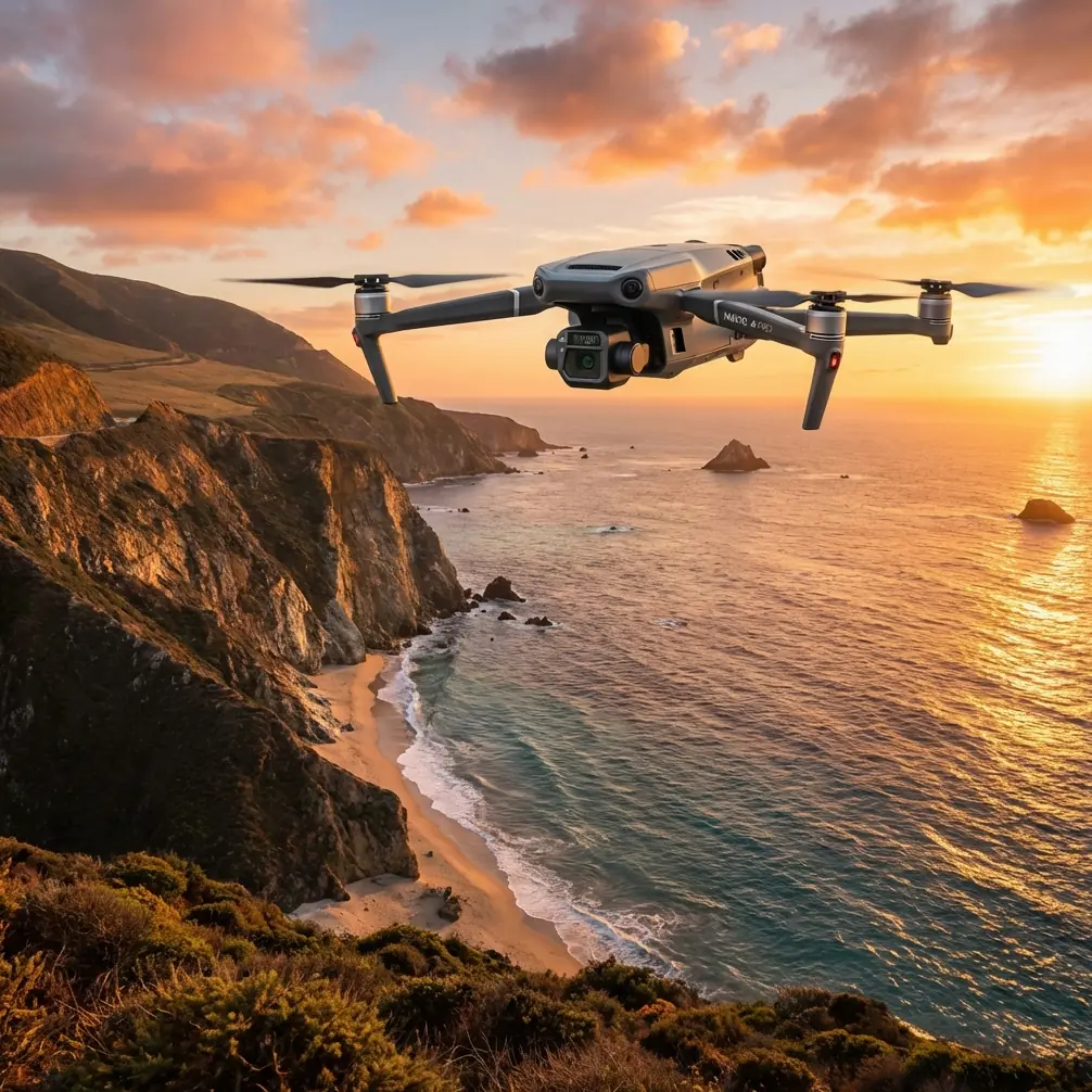
Mavic 3T: Precision Vineyard Inspection in Mountains
Mavic 3T: Precision Vineyard Inspection in Mountains
META: Discover how the Mavic 3T transforms mountain vineyard inspections with thermal imaging, photogrammetry, and rugged flight performance. Expert guide inside.
By Dr. Lisa Wang, Agricultural Drone Specialist
TL;DR
- Optimal flight altitude of 25–35 meters delivers the best balance of thermal resolution and area coverage for mountain vineyard canopy analysis.
- The Mavic 3T's split-second thermal signature detection identifies irrigation failures, vine disease, and frost damage invisible to the naked eye.
- O3 transmission and BVLOS-ready capabilities make it the ideal platform for steep, complex vineyard terrain where line-of-sight is routinely obstructed.
- Hot-swap batteries and a 43-minute max flight time let a single pilot cover 200+ hectares of mountainside vines in one session.
The Problem: Mountain Vineyards Are Inspection Nightmares
Mountain vineyards rank among the most difficult agricultural environments to monitor. Steep slopes—often exceeding 30-degree gradients—make ground-based scouting dangerous, exhausting, and inconsistent. A single agronomist walking terraced rows in Napa, the Douro Valley, or the Aosta foothills might cover 5–8 hectares per day on foot, missing subsurface stress patterns entirely.
Traditional satellite imagery falls short too. Cloud cover, steep shadow angles, and pixel resolutions of 10–30 meters simply cannot isolate the health of individual vine rows spaced 1.5–2 meters apart. By the time satellite data reveals a problem, entire vineyard blocks may already be compromised.
The cost of delayed detection is staggering. A single undetected irrigation leak on a hillside can cascade downslope, triggering erosion and nutrient runoff that damages 3–5x more area than the original failure point. Vine diseases like Esca or Flavescence Dorée spread exponentially when caught late.
What mountain vineyard managers need is a compact, thermally equipped drone that handles high winds, altitude variation, and complex terrain—while delivering centimeter-level data that drives same-day decisions. That is precisely the gap the DJI Mavic 3T fills.
Why the Mavic 3T Excels in Mountain Vineyard Terrain
Three Sensors, One Compact Airframe
The Mavic 3T integrates three independent imaging payloads into a foldable body weighing just 920 grams:
- Wide Camera: 48MP, 1/2-inch CMOS sensor with 84° FOV for broad contextual mapping.
- Zoom Camera: 12MP with 56× max hybrid zoom, capable of isolating individual vine posts from 100 meters away.
- Thermal Camera: 640 × 512 resolution, DFOV 61°, capable of detecting thermal signature variations as small as ≤50 mK (0.05°C).
This triple-sensor configuration lets a single flight capture visible-light orthomosaics, high-zoom anomaly verification, and thermal canopy data simultaneously—eliminating the need for multiple drone platforms.
Terrain-Following Flight in Steep Terrain
Mountain vineyards rarely sit on flat ground. The Mavic 3T supports terrain-follow mode that dynamically adjusts altitude relative to the ground surface, maintaining a consistent GSD (Ground Sample Distance) even as the drone ascends a 500-meter elevation change across a vineyard block.
This matters enormously for photogrammetry accuracy. Inconsistent altitude produces inconsistent pixel scale, which degrades the 3D reconstruction quality when you process data through platforms like DJI Terra or Pix4D.
Expert Insight: For mountain vineyard thermal scanning, I consistently recommend a flight altitude of 25–35 meters AGL (Above Ground Level). Below 25 meters, you sacrifice coverage efficiency and risk rotor wash disturbing canopy leaves, which corrupts thermal readings. Above 35 meters, your thermal GSD exceeds 5 cm/pixel, and you lose the ability to distinguish individual vine stress from background soil radiation. The sweet spot at 30 meters delivers a thermal GSD of approximately 4.2 cm/pixel—sharp enough to identify a single drip emitter failure in a row.
How to Execute a Mountain Vineyard Inspection
Step 1: Establish Ground Control Points (GCPs)
Before launch, place a minimum of 5 GCP markers across the survey area. On steep terrain, distribute them at varying elevations—not just at the vineyard's perimeter. This dramatically improves the vertical accuracy of your photogrammetry model, reducing Z-axis error from ±5 meters to ±3 centimeters when post-processed with RTK correction data.
Step 2: Plan the Flight with Wind Awareness
Mountain terrain generates unpredictable thermal updrafts and valley-channeled gusts. The Mavic 3T handles sustained winds up to 12 m/s, but I recommend:
- Flying early morning (6:00–9:00 AM) when thermal convection is minimal.
- Using crosswind flight paths perpendicular to the slope's prevailing wind channel.
- Setting the overlap to 80% frontal / 70% side to ensure reconstruction integrity even if wind-induced drift shifts individual frames.
Step 3: Capture Simultaneous Thermal and RGB Data
Configure the Mavic 3T to record split-screen thermal + visible imagery. This dual output is critical for vineyard analysis because:
- Thermal data reveals canopy temperature differentials indicating water stress or disease.
- RGB data provides the visual context agronomists need to locate anomalies on the ground.
- The fused dataset enables NDVI-correlated thermal analysis when processed through specialized agricultural software.
Step 4: Transmit and Review Data in Real Time
The Mavic 3T's O3 transmission system delivers 1080p/30fps live feed at up to 15 km range with auto-frequency hopping. On mountain terrain where ridgelines and tree canopies create signal obstructions, O3's triple-antenna design maintains stable downlink far more reliably than legacy OcuSync or Wi-Fi systems.
All data transmitted between the drone and DJI RC Pro Enterprise controller is encrypted with AES-256 encryption, protecting proprietary vineyard health data from interception—a growing concern as precision agriculture datasets become commercially valuable.
Pro Tip: When inspecting vineyards on south-facing mountain slopes in the Northern Hemisphere, fly your thermal passes between 10:00 AM and 12:00 PM. At this window, solar irradiance is strong enough to generate clear thermal signatures in stressed vines, but not so intense that soil thermal radiation overwhelms the canopy signal. For north-facing slopes, shift the window to 1:00–3:00 PM to allow adequate solar warming.
Technical Comparison: Mavic 3T vs. Alternative Inspection Platforms
| Feature | Mavic 3T | Typical Fixed-Wing AG Drone | Satellite Imagery |
|---|---|---|---|
| Thermal Resolution | 640 × 512 | 320 × 256 | N/A (multispectral only) |
| Spatial Resolution (GSD) | 3.2 cm/px at 30m | 5–8 cm/px | 10–30 m/px |
| Wind Resistance | 12 m/s | 15 m/s | N/A |
| Terrain-Follow Mode | Yes | Limited | N/A |
| Launch Footprint | 2 × 2 meters | 20+ meter runway | N/A |
| Flight Time | 43 minutes | 60–90 minutes | N/A |
| Data Security | AES-256 | Varies | Vendor-dependent |
| Real-Time Preview | 1080p O3 link | Often delayed | 24–72 hour delivery |
| BVLOS Capable | Yes (with approvals) | Yes | N/A |
| Portability | Foldable, backpack-ready | Vehicle-mounted | N/A |
The fixed-wing platform offers longer endurance, but on mountain terrain with tight valleys and terraced rows, the Mavic 3T's ability to launch from a 2-meter clearing, hover precisely, and follow terrain contours is an overwhelming operational advantage.
Common Mistakes to Avoid
1. Flying too high for thermal accuracy. Many operators default to 50–60 meters AGL for efficiency. At that altitude, thermal GSD degrades beyond 6 cm/pixel, blurring individual vine thermal signatures into averaged canopy blocks. You will miss early-stage stress indicators entirely.
2. Ignoring GCP placement on slopes. Flat-terrain GCP strategies fail in mountains. Without elevation-distributed GCPs, your photogrammetry model can exhibit "doming" artifacts—systematic vertical distortions that make slope-based drainage and irrigation analysis unreliable.
3. Scheduling thermal flights at the wrong time. Thermal imagery captured at midday on exposed slopes often shows soil-dominated heat signatures that mask vine canopy stress. Calibrate your flight window to the slope's aspect and solar angle.
4. Neglecting hot-swap battery discipline. The Mavic 3T supports hot-swap batteries, meaning you can replace a depleted battery without powering down the mission in DJI Pilot 2. Many operators don't realize this and restart entire flight plans, wasting 10–15 minutes per battery change and introducing inconsistent lighting conditions across data sets.
5. Overlooking BVLOS regulatory requirements. Mountain vineyards often extend beyond visual line of sight behind ridgelines. Even though the Mavic 3T's O3 system maintains connectivity, operating BVLOS without proper waivers or approvals exposes your operation to regulatory action. File the paperwork before you fly.
Frequently Asked Questions
Can the Mavic 3T detect specific vine diseases through thermal imaging?
The Mavic 3T does not diagnose diseases directly. What it detects are thermal signature anomalies—canopy temperature deviations of 0.5–2°C from healthy baseline vines. These anomalies correlate strongly with vascular diseases (like Esca), water stress, and nutrient deficiencies. An agronomist then uses the thermal map as a targeted scouting guide, reducing ground inspection time by 60–80% compared to random sampling.
How many hectares can one pilot cover per day in mountain terrain?
With three hot-swap batteries and the Mavic 3T's 43-minute flight time, a single pilot can survey approximately 80–120 hectares per session at 30 meters AGL with standard overlap settings. In a full working day with morning and afternoon flight windows, 200+ hectares is achievable. Steeper terrain and narrower valleys reduce this by roughly 15–20% due to shorter flight lines and more frequent turns.
Is the Mavic 3T suitable for generating vineyard photogrammetry models?
Absolutely. The 48MP wide camera produces ortho-ready imagery at centimeter-level GSD. When combined with properly placed GCPs and RTK post-processing, the Mavic 3T generates DSMs (Digital Surface Models) and orthomosaics with vertical accuracy under 3 cm RMSE. These outputs are fully compatible with precision viticulture platforms for canopy volume analysis, drainage modeling, and yield estimation.
Ready for your own Mavic 3T? Contact our team for expert consultation.