Urban Wildlife Monitoring with Mavic 3T | Guide
Urban Wildlife Monitoring with Mavic 3T | Guide
META: Master urban wildlife inspections using the Mavic 3T's thermal imaging and zoom capabilities. Expert techniques for accurate animal detection and tracking.
TL;DR
- Thermal signature detection identifies wildlife through vegetation and in low-light urban environments with 640×512 resolution
- 56× hybrid zoom enables non-invasive observation from safe distances, reducing animal stress
- O3 transmission maintains stable control up to 15km despite urban electromagnetic interference
- 45-minute flight time covers extensive urban green corridors in single missions
The Urban Wildlife Challenge
Urban wildlife populations face mounting pressure from development, yet monitoring them presents unique obstacles. Traditional ground surveys disturb animals, produce incomplete data, and consume excessive personnel hours.
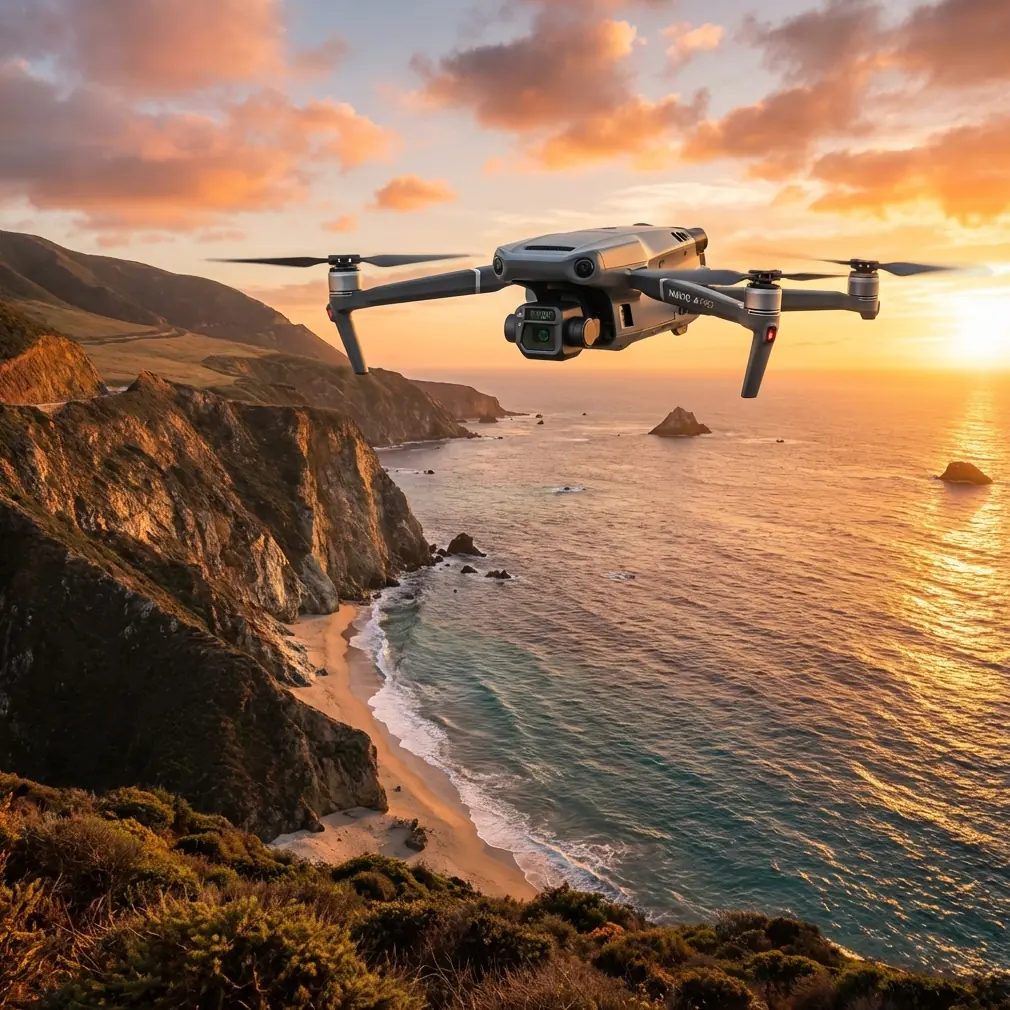
The DJI Mavic 3T transforms this workflow entirely. Its dual-sensor payload—combining thermal imaging with high-resolution visible light cameras—captures comprehensive wildlife data while maintaining safe observation distances.
This guide covers proven techniques for deploying the Mavic 3T in urban wildlife assessments, from thermal signature interpretation to electromagnetic interference management.
Understanding the Mavic 3T Sensor Suite
The Mavic 3T integrates three distinct imaging systems optimized for inspection work.
Thermal Imaging Capabilities
The 640×512 infrared sensor detects temperature differentials as small as ≤50mK NETD. This sensitivity reveals:
- Nesting birds concealed in dense tree canopies
- Nocturnal mammals during crepuscular activity periods
- Reptiles basking on urban heat islands
- Injured animals requiring intervention
Thermal signature analysis works best during temperature transition periods—dawn and dusk—when ambient and body temperature differentials maximize contrast.
Visible Light Sensors
The 48MP wide camera with 1/2-inch CMOS sensor captures habitat documentation and species identification imagery. Meanwhile, the 12MP telephoto lens delivers 56× hybrid zoom for detailed observation without proximity disturbance.
Expert Insight: Set your thermal palette to "White Hot" for mammal detection in vegetated areas. The high-contrast output makes warm bodies immediately visible against cooler foliage backgrounds, reducing missed detections during rapid area scans.
Conquering Urban Electromagnetic Interference
Cities present hostile RF environments. Cell towers, power infrastructure, and wireless networks create interference patterns that challenge drone operations.
Antenna Positioning Strategies
The Mavic 3T's O3 transmission system uses dual antennas requiring proper orientation for optimal performance.
Position the controller antennas perpendicular to the aircraft's direction. In high-interference zones near transmission towers or substations, angle antennas 45 degrees outward rather than straight up.
This adjustment maintains signal integrity when operating near:
- Cellular base stations
- High-voltage transmission corridors
- Broadcasting facilities
- Dense WiFi environments
Frequency Management
The O3 system automatically switches between 2.4GHz and 5.8GHz bands. However, manual frequency selection sometimes outperforms automatic switching in predictable interference environments.
Survey your operating area beforehand using a spectrum analyzer app. Lock to the cleaner frequency band before launch rather than relying on mid-flight switching.
Mission Planning for Wildlife Surveys
Effective urban wildlife monitoring requires systematic flight planning that balances coverage efficiency with detection accuracy.
Grid Pattern Configuration
For comprehensive area surveys, configure photogrammetry-style grid patterns with these parameters:
- Altitude: 40-60 meters for thermal detection
- Overlap: 70% front, 60% side for stitching capability
- Speed: 5-7 m/s maximum for thermal sensor integration
- GCP placement: Minimum 5 ground control points for georeferenced outputs
Corridor Surveys
Linear features—rivers, railway embankments, highway margins—support wildlife movement through urban matrices. Survey these using:
- Double-pass flights: Outbound thermal, return visible light
- Offset flight lines: 15-meter lateral shift between passes
- Reduced altitude: 25-35 meters for improved thermal resolution
Pro Tip: Schedule corridor surveys during morning rush hour. Traffic noise masks drone sound, reducing wildlife flight responses while thermal conditions remain favorable for detection.
Technical Comparison: Mavic 3T vs. Alternative Platforms
| Feature | Mavic 3T | Enterprise Competitor A | Consumer Thermal |
|---|---|---|---|
| Thermal Resolution | 640×512 | 320×256 | 160×120 |
| NETD Sensitivity | ≤50mK | ≤60mK | ≤100mK |
| Optical Zoom | 56× hybrid | 32× hybrid | None |
| Flight Time | 45 minutes | 38 minutes | 28 minutes |
| Transmission Range | 15km O3 | 10km | 4km |
| Encryption | AES-256 | AES-128 | None |
| Hot-swap batteries | Yes | No | No |
| Weight | 920g | 1,350g | 595g |
| BVLOS Capability | Supported | Supported | Limited |
The Mavic 3T's combination of thermal sensitivity, zoom range, and flight endurance creates a platform specifically suited for urban wildlife work where single-mission coverage matters.
Data Security Considerations
Wildlife location data carries sensitivity—poaching concerns, development conflicts, and research competition all create security requirements.
The Mavic 3T implements AES-256 encryption for all transmitted data. Local Data Mode prevents any cloud synchronization, keeping survey results entirely on local storage.
For multi-operator programs, establish these protocols:
- Dedicated SD cards per project
- Immediate card removal post-flight
- Encrypted backup to organizational servers
- Flight log sanitization before aircraft maintenance
Hot-Swap Battery Operations
Extended surveys benefit from the Mavic 3T's hot-swap battery capability. This feature maintains aircraft power during battery changes, preserving:
- GPS positioning lock
- Thermal sensor calibration
- Mission waypoint data
- Controller pairing
Carry minimum three batteries per survey session. Rotate through batteries systematically, allowing 15-minute cooling periods between discharge and recharge cycles to maximize battery lifespan.
Common Mistakes to Avoid
Flying too fast for thermal integration The thermal sensor requires adequate dwell time per frame. Speeds exceeding 8 m/s produce motion blur and missed detections. Slow down, especially during initial area reconnaissance.
Ignoring wind effects on thermal signatures Wind disperses body heat, reducing thermal contrast. Schedule surveys during calm conditions—typically early morning—or increase sensitivity settings during windy operations.
Approaching too closely for identification The 56× zoom exists specifically to prevent close approaches. Maintain minimum 30-meter horizontal distance from observed animals. Closer approaches trigger flight responses that compromise behavioral data.
Neglecting GCP placement in vegetated areas Ground control points hidden under canopy produce poor photogrammetry results. Place GCPs in clearings, on paths, or at vegetation edges where satellite visibility matches drone visibility.
Single-pass thermal surveys Thermal signatures change rapidly with ambient conditions. Conduct minimum two passes separated by 20-30 minutes to capture activity pattern variations and reduce false negatives.
BVLOS Operations for Extended Coverage
Beyond Visual Line of Sight operations expand survey coverage dramatically but require additional preparation.
Regulatory compliance varies by jurisdiction. Most authorities require:
- Specific BVLOS waivers or certifications
- Ground-based visual observers at intervals
- Detect-and-avoid system integration
- Enhanced flight logging and reporting
The Mavic 3T's 15km transmission range technically supports extended operations, but practical BVLOS missions typically operate within 3-5km to maintain adequate response time for obstacle avoidance.
Frequently Asked Questions
What thermal settings work best for detecting small mammals?
Configure the thermal sensor to High Gain mode with spot metering centered on vegetated areas. Set temperature span to narrow range (10-15°C) centered on expected body temperatures (35-40°C for mammals). This maximizes contrast for small thermal signatures against variable backgrounds.
How does the Mavic 3T perform in light rain conditions?
The Mavic 3T carries no official IP rating, limiting wet weather operations. Light mist typically causes no immediate issues, but moisture accumulation on thermal lens surfaces degrades image quality rapidly. Carry lens wipes and abort missions if precipitation intensifies. Never fly in active rainfall.
Can thermal imaging detect cold-blooded urban wildlife?
Reptiles and amphibians present detection challenges since their body temperatures approximate ambient conditions. However, behavioral thermoregulation creates opportunities—basking reptiles on sun-warmed surfaces show clear thermal contrast. Survey during morning hours when animals actively seek heat sources, creating maximum temperature differential against still-cool surroundings.
Maximizing Your Urban Wildlife Program
The Mavic 3T delivers professional-grade thermal imaging in a portable platform that handles urban electromagnetic challenges effectively. Its sensor combination—thermal, wide, and telephoto—addresses the full spectrum of wildlife monitoring requirements from detection through identification.
Success depends on systematic mission planning, appropriate flight parameters, and consistent data management protocols. The techniques outlined here provide a foundation for building reliable, repeatable urban wildlife survey programs.
Ready for your own Mavic 3T? Contact our team for expert consultation.