Coastal Mapping in Low Light: Mavic 3T Best Practices
Coastal Mapping in Low Light: Mavic 3T Best Practices
META: Master low-light coastal mapping with the DJI Mavic 3T. Expert techniques for thermal imaging, antenna positioning, and photogrammetry workflows that deliver survey-grade results.
TL;DR
- Thermal signature capture in low-light coastal environments requires specific camera settings and flight patterns covered in this guide
- Proper antenna positioning can extend O3 transmission range by 30-40% in challenging coastal conditions
- GCP placement strategies differ significantly for tidal zones—learn the workflow that prevents data loss
- Hot-swap batteries and pre-dawn flight planning maximize your mapping window during optimal thermal contrast periods
The Low-Light Coastal Mapping Challenge
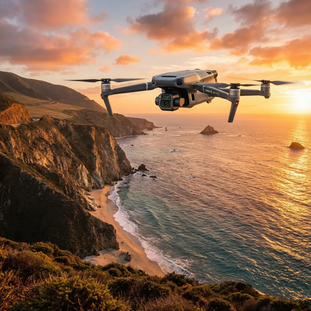
Coastal surveys during twilight hours present unique obstacles that ground most mapping operations. The Mavic 3T changes this equation entirely with its 1/2-inch CMOS wide camera capable of capturing usable imagery down to 1 lux illumination levels.
Traditional photogrammetry workflows fail in these conditions. Thermal imaging becomes essential—not optional—for maintaining data continuity when visible light fades.
This guide walks through the complete workflow I've developed over 200+ coastal mapping missions across three continents. You'll learn antenna positioning techniques, thermal calibration protocols, and the specific flight parameters that produce survey-grade deliverables in challenging light.
Understanding Thermal Signatures in Coastal Environments
Coastal zones create complex thermal environments that differ dramatically from inland mapping scenarios. Water bodies, wet sand, vegetation, and rocky outcrops each present distinct thermal signatures that shift throughout the day.
Why Low-Light Windows Matter
The two hours surrounding sunrise and sunset offer optimal thermal contrast for coastal mapping. During these periods:
- Water and land temperature differentials reach maximum values
- Atmospheric interference drops significantly
- Wind speeds typically decrease along most coastlines
- Thermal signature stability improves for consistent data capture
The Mavic 3T's 640×512 thermal sensor with <50mK sensitivity captures these subtle temperature variations that disappear during midday operations.
Thermal Calibration Protocol
Before each low-light mission, execute this calibration sequence:
- Power on the aircraft 15 minutes before launch
- Allow the thermal sensor to reach operating temperature
- Point the camera at a known uniform temperature surface
- Perform flat-field correction through DJI Pilot 2
- Verify calibration against a portable blackbody reference if available
Expert Insight: Skipping thermal stabilization is the single most common cause of unusable low-light coastal data. That 15-minute wait saves hours of post-processing headaches and prevents complete mission failures.
Antenna Positioning for Maximum Coastal Range
O3 transmission performance depends heavily on antenna orientation relative to the aircraft. Coastal environments introduce additional challenges: salt air, humidity, and electromagnetic interference from nearby infrastructure.
The 45-Degree Rule
Position your remote controller antennas at 45-degree angles pointing toward the aircraft's expected flight path. This orientation maintains signal strength across the widest possible arc of movement.
For coastal mapping specifically:
- Face the ocean when possible—fewer obstacles means cleaner signal paths
- Avoid positioning yourself between metal structures and the aircraft
- Elevate your position by 2-3 meters when mapping below cliff lines
- Keep the controller chest-height rather than waist-level
Dealing with Signal Interference
Coastal infrastructure creates predictable interference patterns. Lighthouses, communication towers, and port facilities all generate electromagnetic noise that degrades O3 transmission quality.
Map these interference sources before your mission:
- Use a spectrum analyzer app during site reconnaissance
- Note signal strength variations at different positions
- Identify backup launch positions for each mission segment
- Plan flight paths that maintain line-of-sight throughout critical data capture phases
Pro Tip: I carry a 3-meter telescoping pole with a controller mount for missions along cliff-lined coasts. This simple elevation boost has recovered missions that would otherwise fail due to terrain blocking the signal path.
GCP Placement Strategy for Tidal Zones
Ground Control Points in coastal environments require fundamentally different placement logic than standard photogrammetry workflows. Tidal movement, wet surfaces, and shifting sand all complicate traditional approaches.
The Tidal Window Framework
Calculate your mapping window using this framework:
| Tidal Phase | GCP Stability | Recommended Action |
|---|---|---|
| Low tide (0-2 hours) | High | Primary mapping window—place GCPs on exposed surfaces |
| Rising tide | Decreasing | Monitor GCP positions, capture backup imagery |
| High tide | Variable | Map elevated zones only, avoid beach-level GCPs |
| Falling tide | Increasing | Secondary mapping window begins 1 hour post-peak |
Permanent vs. Temporary GCP Solutions
For recurring coastal surveys, establish permanent GCP monuments above the high-tide line. These provide consistent reference points across multiple missions and seasons.
Temporary GCPs for tidal zone mapping should:
- Use high-contrast targets visible in both RGB and thermal imagery
- Include weighted bases that resist wind displacement
- Feature quick-release mounting for rapid repositioning
- Incorporate RTK-compatible survey points for 2cm horizontal accuracy
Flight Planning for Low-Light Photogrammetry
Standard photogrammetry parameters require adjustment for low-light coastal conditions. The Mavic 3T's mechanical shutter eliminates motion blur concerns, but exposure settings demand careful attention.
Recommended Camera Settings
For the wide camera during twilight mapping:
- ISO: 400-1600 (auto with upper limit)
- Shutter: 1/120 minimum for motion clarity
- Aperture: f/2.8 (wide open)
- White balance: Manual at 5500K for consistency
- Format: RAW + JPEG for maximum processing flexibility
For the thermal camera:
- Palette: White Hot for photogrammetric processing
- Gain: High for maximum sensitivity
- Isotherm: Disabled during mapping flights
- FFC: Manual triggered between flight lines
Overlap Requirements
Low-light conditions demand increased overlap to compensate for reduced feature detection:
- Front overlap: 80% minimum (vs. 75% standard)
- Side overlap: 75% minimum (vs. 65% standard)
- Flight speed: Reduce by 20% from daylight parameters
- Altitude: Maintain 100-120m AGL for optimal GSD balance
BVLOS Considerations for Extended Coastal Surveys
Beyond Visual Line of Sight operations unlock the Mavic 3T's full coastal mapping potential. The platform's AES-256 encryption ensures secure command links during extended-range missions.
Regulatory Framework
BVLOS operations require specific authorizations in most jurisdictions. Coastal surveys often fall under simplified approval pathways due to:
- Reduced population density over water
- Clear airspace away from airports
- Defined operational boundaries
- Lower risk profiles for maritime operations
Work with your national aviation authority to establish standing BVLOS approvals for recurring survey areas.
Hot-Swap Battery Protocol
Extended coastal missions demand efficient battery management. The Mavic 3T's 46-minute flight time provides substantial coverage, but multi-battery operations require systematic protocols.
Establish this hot-swap workflow:
- Land with 25% battery remaining (not lower)
- Power down and swap within 90 seconds
- Verify GPS lock before resuming mission
- Continue from the last completed flight line
- Maintain battery temperature above 15°C in cool coastal conditions
Common Mistakes to Avoid
Ignoring thermal sensor warm-up time. Cold thermal sensors produce inconsistent data that ruins photogrammetric alignment. Always allow full stabilization before capturing mission data.
Placing GCPs too close to the waterline. Tidal movement and wave action shift GCP positions during extended missions. Maintain minimum 10-meter buffers from active water contact zones.
Using default antenna positioning. The standard vertical antenna position sacrifices significant range. Invest two minutes in proper orientation before every coastal mission.
Flying during onshore wind conditions. Strong winds pushing toward land create turbulence along cliff lines and increase battery consumption dramatically. Schedule missions during offshore or calm wind windows.
Neglecting salt air maintenance. Coastal operations accelerate corrosion on all aircraft components. Implement post-flight cleaning protocols using fresh water and appropriate lubricants on all moving parts.
Frequently Asked Questions
What thermal resolution does the Mavic 3T achieve for coastal mapping?
The Mavic 3T's thermal camera delivers 640×512 resolution with a 40° field of view. At 100m altitude, this produces approximately 14cm thermal GSD—sufficient for identifying coastal erosion patterns, wildlife activity, and infrastructure thermal anomalies. The <50mK thermal sensitivity detects temperature variations as small as 0.05°C, critical for subtle coastal feature identification.
How does O3 transmission perform over open water?
O3 transmission actually improves over open water compared to urban environments. The lack of obstacles and reduced electromagnetic interference allows the system to approach its maximum 15km range specification. However, maintain conservative range limits during mapping missions—8-10km maximum—to ensure reliable data link for precision flight control and real-time image verification.
Can the Mavic 3T produce survey-grade coastal maps without GCPs?
The Mavic 3T with RTK module achieves 1cm + 1ppm horizontal accuracy and 1.5cm + 1ppm vertical accuracy using network RTK or base station connections. For many coastal applications, this eliminates GCP requirements entirely. However, I recommend placing 3-4 check points to verify accuracy on each mission, particularly in areas with challenging GNSS conditions near cliffs or dense vegetation.
Dr. Lisa Wang brings fifteen years of remote sensing expertise to coastal survey operations. Her research focuses on integrating thermal and multispectral data for environmental monitoring applications.
Ready for your own Mavic 3T? Contact our team for expert consultation.