How to Map Construction Sites in Complex Terrain with Mavic
How to Map Construction Sites in Complex Terrain with Mavic 3T
META: Master construction site mapping in challenging terrain using DJI Mavic 3T. Expert techniques for photogrammetry, thermal imaging, and efficient workflows.
TL;DR
- Mavic 3T's triple-sensor system captures RGB, thermal, and zoom data simultaneously for comprehensive site documentation
- O3 transmission maintains stable control up to 15km in complex terrain with obstacles and interference
- Hot-swap batteries enable continuous mapping sessions covering 200+ acres per day
- GCP integration achieves centimeter-level accuracy essential for volumetric calculations and progress tracking
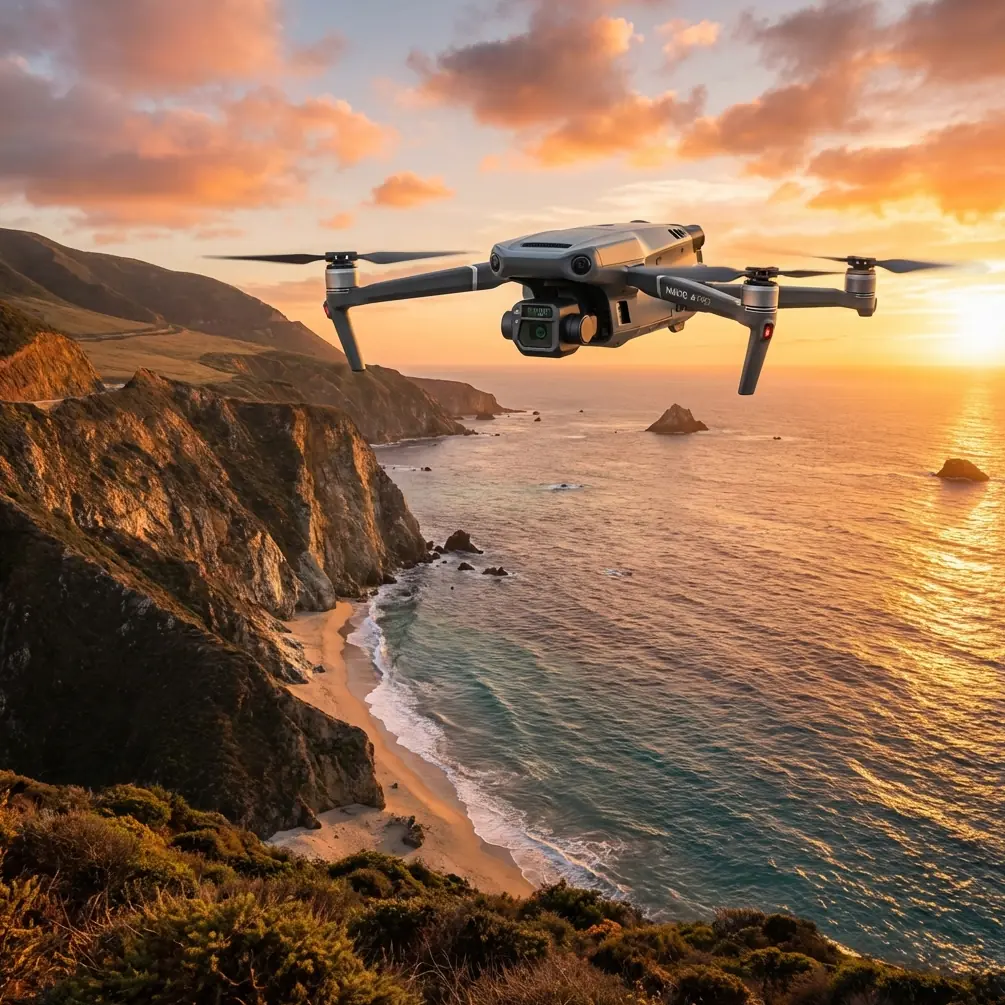
Construction site mapping in mountainous regions, urban canyons, or areas with significant elevation changes presents unique challenges that traditional survey methods struggle to address. The DJI Mavic 3T combines a 48MP wide camera, 12MP zoom lens, and 640×512 thermal sensor into a compact platform that transforms how professionals approach complex terrain documentation.
This guide breaks down field-tested techniques for maximizing mapping efficiency, maintaining accuracy across elevation changes, and leveraging thermal signature analysis for comprehensive site intelligence.
Understanding the Mavic 3T's Mapping Capabilities
Triple-Sensor Architecture
The Mavic 3T's sensor configuration addresses the primary limitation of single-camera mapping drones. Traditional platforms force operators to choose between high-resolution RGB imagery and thermal data collection, requiring multiple flights and introducing alignment errors.
With the Mavic 3T, you capture:
- Wide camera: 4/3 CMOS sensor producing 48MP stills with mechanical shutter eliminating rolling shutter distortion
- Telephoto: 56× hybrid zoom for detailed inspection of specific features without repositioning
- Thermal: 640×512 resolution with temperature measurement accuracy of ±2°C
This simultaneous capture means a single flight generates aligned datasets for photogrammetry processing, thermal analysis, and detailed visual inspection.
O3 Transmission in Challenging Environments
Complex terrain typically means signal obstacles. Valley walls, tall structures, and dense vegetation create multipath interference that degrades video links and control signals.
The O3 transmission system addresses this through:
- Triple-channel redundancy across 2.4GHz and 5.8GHz bands
- Auto-switching between frequencies based on interference detection
- 15km maximum range under optimal conditions
- 1080p/60fps live feed maintained at distances exceeding 8km
Expert Insight: In canyon environments, position your launch point on elevated terrain when possible. Even a 10-meter height advantage significantly improves line-of-sight coverage and reduces the need for signal relay positioning.
Pre-Flight Planning for Complex Terrain
Establishing Ground Control Points
Photogrammetry accuracy in terrain with significant elevation variation depends heavily on proper GCP distribution. The Mavic 3T's RTK module compatibility enables centimeter-level positioning, but GCPs remain essential for verification and areas where RTK correction signals weaken.
GCP placement guidelines for complex sites:
- Minimum 5 GCPs for sites under 10 acres
- Additional point for every 50 meters of elevation change
- Distribute points across all elevation zones, not just accessible flat areas
- Use high-contrast targets visible in both RGB and thermal imagery
Flight Path Optimization
Standard grid patterns fail in complex terrain. Elevation changes require adaptive altitude settings to maintain consistent ground sampling distance (GSD).
Terrain-following considerations:
| Terrain Type | Recommended Overlap | Altitude Strategy |
|---|---|---|
| Gentle slopes (<15°) | 75% front, 65% side | Fixed altitude AGL |
| Moderate slopes (15-30°) | 80% front, 70% side | Terrain following |
| Steep terrain (>30°) | 85% front, 75% side | Manual waypoints |
| Mixed urban/natural | 80% front, 70% side | Hybrid approach |
The Mavic 3T's obstacle sensing operates across all directions, but terrain-following modes require careful altitude buffer settings. A minimum 15-meter buffer above the highest obstacle prevents collision while maintaining useful GSD.
Field Execution Strategies
Battery Management for Extended Operations
Here's a technique that transformed our multi-day mapping projects: we label batteries not just by number, but by charge cycle count and last-used date. The Mavic 3T's 46-minute maximum flight time degrades predictably with battery age and temperature.
Hot-swap battery protocol:
- Pre-stage 3-4 batteries at operating temperature before flight
- In cold conditions, keep reserves in insulated containers near body heat
- Track individual battery performance—retire any showing >15% capacity loss
- Allow 2-minute cool-down between landing and battery removal
Pro Tip: The Mavic 3T's battery reports remaining capacity in the DJI Pilot 2 app. Log these values after each flight. Batteries showing inconsistent readings between similar missions indicate degradation requiring attention.
Thermal Signature Applications
Construction site mapping extends beyond visual documentation. Thermal imaging reveals:
- Concrete curing anomalies indicating potential structural issues
- Water infiltration in completed sections
- Equipment heat signatures for utilization tracking
- Underground utility locations through surface temperature differentials
For optimal thermal data:
- Fly during early morning or late afternoon when temperature differentials maximize
- Avoid midday flights when solar loading masks subsurface signatures
- Set thermal palette to white-hot for documentation, ironbow for analysis
- Capture thermal data at lower altitudes than RGB for improved resolution
Data Processing Workflow
Photogrammetry Integration
The Mavic 3T outputs imagery compatible with all major processing platforms. For construction applications, the workflow typically follows:
- Import RGB imagery with embedded GPS data
- Align using GCP coordinates for absolute accuracy
- Generate dense point cloud at medium-high quality settings
- Build mesh and orthomosaic for deliverables
- Export in client-specified coordinate system
Processing time estimates (standard workstation):
| Site Size | Image Count | Point Cloud Generation | Full Processing |
|---|---|---|---|
| 5 acres | 200-300 | 2-3 hours | 4-6 hours |
| 20 acres | 800-1200 | 8-12 hours | 16-24 hours |
| 50 acres | 2000-3000 | 24-36 hours | 48-72 hours |
Security Considerations
Construction documentation often contains sensitive information. The Mavic 3T supports AES-256 encryption for data transmission, but comprehensive security requires attention to:
- Local data mode preventing cloud synchronization during sensitive operations
- SD card encryption for physical media security
- Secure file transfer protocols for client delivery
- Data retention policies aligned with project requirements
BVLOS Operations and Regulatory Compliance
Beyond Visual Line of Sight operations dramatically expand mapping efficiency but require specific authorizations. The Mavic 3T's capabilities support BVLOS applications through:
- ADS-B receiver integration for airspace awareness
- Remote ID compliance for regulatory tracking
- Redundant positioning using GPS, GLONASS, and Galileo
- Automated return-to-home with obstacle avoidance
Before planning BVLOS missions, verify:
- Appropriate waivers or authorizations for your jurisdiction
- Visual observer positioning if required
- Communication protocols with air traffic control
- Emergency procedures for lost link scenarios
Common Mistakes to Avoid
Insufficient overlap in steep terrain: Standard 70% overlap fails when elevation changes exceed 20 meters within the survey area. Increase to 80-85% to ensure proper tie points.
Ignoring wind patterns: Complex terrain creates unpredictable wind acceleration and turbulence. The Mavic 3T handles 12 m/s winds, but gusts in canyon environments can exceed this. Monitor weather stations at multiple elevations.
Single-altitude missions: Mapping a construction site with 50 meters of elevation change at a fixed altitude produces inconsistent GSD. Use terrain-following or plan multiple altitude passes.
Neglecting thermal calibration: The thermal sensor requires flat-field calibration periodically. Inconsistent temperature readings across the frame indicate calibration drift.
Overlooking metadata: The Mavic 3T embeds extensive metadata including gimbal angles, GPS coordinates, and camera settings. Stripping this data during file management breaks photogrammetry alignment.
Frequently Asked Questions
What ground sampling distance can the Mavic 3T achieve for construction mapping?
At 100 meters AGL, the wide camera produces approximately 2.7cm/pixel GSD. For detailed inspection work, the zoom lens at the same altitude achieves sub-centimeter resolution on specific features. Most construction documentation requires 3-5cm GSD, achievable at 120-150 meter flight altitudes.
How does the Mavic 3T handle GPS-denied environments common in urban construction?
The aircraft maintains positioning through visual positioning sensors when satellite signals weaken. In complete GPS denial, the system switches to ATTI mode, requiring manual control. For urban canyon environments, plan flights during periods of maximum satellite visibility and consider RTK base station positioning for improved accuracy.
Can thermal data from the Mavic 3T integrate with BIM workflows?
Thermal orthomosaics export in standard georeferenced formats compatible with BIM platforms. The workflow involves processing thermal imagery separately, then overlaying on 3D models using coordinate alignment. Temperature data embeds in TIFF exports, enabling quantitative analysis within BIM environments.
The Mavic 3T represents a significant capability upgrade for construction professionals working in challenging environments. Its combination of imaging sensors, transmission reliability, and flight endurance addresses the specific demands of complex terrain mapping while maintaining the portability essential for multi-site operations.
Ready for your own Mavic 3T? Contact our team for expert consultation.