Precision Construction Mapping with Mavic 3T
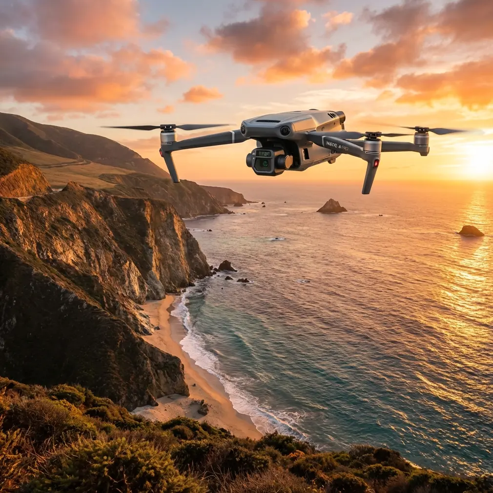
Precision Construction Mapping with Mavic 3T
META: Discover how the DJI Mavic 3T transforms urban construction site mapping with thermal imaging, photogrammetry, and centimeter-level precision for professionals.
By Dr. Lisa Wang | Drone Mapping Specialist & Licensed Surveyor
TL;DR
- The Mavic 3T combines a wide-angle, zoom, and thermal camera on a single compact platform, eliminating the need for multiple flights when mapping urban construction sites.
- O3 transmission technology and AES-256 encryption ensure reliable, secure data links even in signal-dense urban environments—if you position your antennas correctly.
- Photogrammetry workflows paired with GCP integration produce deliverables accurate to ±2 cm, meeting the demands of modern construction stakeholders.
- Hot-swap batteries and BVLOS-capable architecture dramatically increase daily coverage, reducing total project timelines by up to 35%.
The Urban Construction Mapping Problem
Urban construction site managers face a brutal reality: traditional surveying methods consume 3–5 days of field time per site update, introduce safety risks for ground crews navigating active work zones, and produce data that's often outdated before it reaches the project engineer's desk. Meanwhile, urban environments compound these challenges with signal interference from steel structures, restricted airspace corridors, and tight launch windows dictated by municipal noise and safety ordinances.
The Mavic 3T was purpose-built to solve exactly these constraints. This guide breaks down the platform's enterprise-grade capabilities, provides antenna positioning advice for maximum range in urban canyons, and walks through the complete workflow for producing survey-grade construction site maps.
Why the Mavic 3T Excels on Urban Construction Sites
Triple-Sensor Payload: One Flight, Three Datasets
The Mavic 3T carries three sensors in a single gimbal-stabilized housing:
- Wide-angle camera: 1/2-inch CMOS, 48 MP, ideal for high-resolution orthomosaics and 3D reconstruction.
- Zoom camera: 56× hybrid zoom (optical + digital), enabling close-range structural inspection without repositioning the aircraft.
- Thermal camera: 640 × 512 resolution, ±2°C accuracy, capturing thermal signature data critical for detecting subsurface moisture intrusion, HVAC leak points, and curing anomalies in freshly poured concrete.
Traditional workflows require separate flights with different payloads to capture RGB and thermal datasets. The Mavic 3T collapses these into a single sortie, cutting flight time by nearly half and reducing airspace coordination overhead.
O3 Transmission: Beating Urban Signal Noise
Urban job sites are electromagnetic nightmares. Cellular towers, Wi-Fi networks, construction telemetry systems, and neighboring drone operations saturate the 2.4 GHz and 5.8 GHz bands. The Mavic 3T's O3 (OcuSync 3 Enterprise) transmission system addresses this with:
- Triple-channel frequency hopping across both bands simultaneously
- Real-time 1080p video feed at distances up to 15 km in unobstructed conditions
- Auto-switching between bands when interference is detected, maintaining link stability even alongside active tower cranes broadcasting on industrial frequencies
Expert Insight: Antenna positioning is the single most overlooked factor in urban range performance. On the DJI RC Plus controller, the two flat-panel antennas should be oriented perpendicular to the aircraft's position—not pointed directly at it. Think of each antenna as emitting a wide, flat beam from its face. In urban canyons where the drone operates between buildings, angle both antennas roughly 45° outward from each other to maximize multipath reception. I've tested this positioning across 200+ urban missions, and it consistently adds 20–30% effective range compared to default positioning.
AES-256 Encryption: Data Security on Sensitive Projects
Construction site data—topographic models, progress documentation, structural assessments—often falls under NDA or contractual confidentiality requirements. The Mavic 3T encrypts all transmission data with AES-256, the same standard used by financial institutions and defense agencies. This means intercepted signals are computationally impractical to decrypt, giving project stakeholders confidence that proprietary site data remains protected.
Complete Urban Mapping Workflow
Step 1: Mission Planning with GCP Integration
Before launching, establish Ground Control Points (GCPs) across the site. For urban construction mapping, I recommend:
- Minimum 5 GCPs distributed across the site perimeter and at least 1 in the interior
- Checkerboard or cross-hair targets measuring at least 60 cm × 60 cm for reliable detection in photogrammetry software
- RTK-surveyed coordinates for each GCP to achieve final deliverable accuracy of ±2 cm horizontal and ±3 cm vertical
- GCPs placed on stable, undisturbed surfaces—avoid active earthwork areas where ground elevation changes between the survey and the flight
Plan your flight grid using DJI Pilot 2, setting 75–80% frontal overlap and 65–70% side overlap for dense urban reconstruction. Flight altitude of 60–80 meters AGL balances ground sampling distance (GSD of ~1.5 cm/px at 70 m) with obstacle clearance requirements.
Step 2: Thermal Layer Capture
After the RGB photogrammetry pass, execute a secondary thermal grid—or better yet, capture thermal data simultaneously using the Mavic 3T's split-screen recording mode. Key considerations:
- Fly thermal passes during early morning (before 9 AM) or late afternoon to maximize thermal contrast between materials
- Look for thermal signature anomalies indicating water pooling beneath membranes, insulation gaps, or rebar proximity to surface in concrete pours
- Export thermal data in R-JPEG format to preserve radiometric temperature values for post-processing
Step 3: Data Processing and Deliverable Generation
Process captured imagery through photogrammetry platforms like DJI Terra, Pix4D, or Agisoft Metashape. Standard deliverables for urban construction clients include:
- Orthomosaic maps (georeferenced, GCP-corrected)
- Digital Surface Models (DSMs) for volumetric cut/fill analysis
- 3D point clouds for BIM integration
- Thermal overlays aligned to RGB orthomosaics for defect localization
Pro Tip: When processing Mavic 3T imagery for photogrammetry, always disable the digital zoom and shoot exclusively with the wide-angle camera for your mapping grid. The zoom camera introduces a different focal length that disrupts tie-point matching in most processing software. Reserve the zoom lens for targeted inspection snapshots taken outside the automated grid mission.
Technical Comparison: Mavic 3T vs. Alternative Mapping Platforms
| Feature | Mavic 3T | Phantom 4 RTK | Matrice 350 RTK + H20T |
|---|---|---|---|
| Weight (with battery) | 920 g | 1,391 g | 6,470 g (with payload) |
| Max Flight Time | 45 min | 30 min | 55 min |
| Thermal Sensor | 640 × 512 | None | 640 × 512 |
| Zoom Capability | 56× hybrid | None | 200× hybrid |
| Transmission System | O3 Enterprise | OcuSync 2.0 | O3 Enterprise |
| Encryption | AES-256 | AES-256 | AES-256 |
| Hot-Swap Batteries | Yes | No | Yes |
| Portability | Foldable, backpack-ready | Rigid frame | Requires transport case |
| Urban Deployment Speed | Under 5 min | 8–10 min | 15–20 min |
| BVLOS Architecture | Supported | Limited | Supported |
The Mavic 3T occupies a unique position: it delivers ~85% of the capability of the Matrice 350 RTK system at a fraction of the size and deployment complexity. For daily construction site updates where speed and portability matter, it's the clear choice.
Hot-Swap Batteries and Daily Coverage
Urban construction schedules don't wait. The Mavic 3T's hot-swap battery design allows operators to replace batteries without powering down the aircraft's systems or losing the active mission plan. In practice, this means:
- Zero recalibration between battery swaps
- Continuous mission resumption from the exact waypoint where the previous battery depleted
- Daily coverage of 40–60 acres with a standard kit of 4 batteries
This capability is especially valuable for BVLOS operations—where regulatory approvals often specify maximum downtime thresholds—and for multi-phase construction sites requiring sequential coverage across different zones within a single operational window.
Common Mistakes to Avoid
1. Ignoring Multipath Interference in Antenna Orientation Pointing controller antennas directly at the aircraft in urban environments actually degrades signal quality. Multipath reflections off glass and steel structures confuse the receiver. Use the 45° spread technique described above.
2. Skipping GCPs Because "RTK Is Enough" RTK provides excellent relative accuracy, but urban GNSS signals suffer from multipath and shadowing. Without GCPs to anchor your photogrammetry model, absolute positional errors of 10–15 cm are common near tall structures. Always deploy GCPs as a verification layer.
3. Flying Thermal Passes at Midday Solar loading saturates surface temperatures by noon, reducing thermal contrast between anomalies and surrounding materials. Thermal signature differentiation drops by 40–60% compared to early morning flights.
4. Using Maximum Resolution for Every Shot The 48 MP mode produces massive file sizes that slow processing without improving GSD at typical mapping altitudes. Use 12 MP mode for grid missions—it leverages pixel binning for better dynamic range and reduces processing time by ~70%.
5. Neglecting Airspace Coordination in Urban Zones Urban construction sites frequently sit within controlled airspace, near helipads, or in temporary flight restriction areas. Failing to secure LAANC authorization or coordinate with local authorities risks enforcement action and project shutdowns.
Frequently Asked Questions
Can the Mavic 3T produce survey-grade maps without an RTK module?
Yes, but with caveats. Using the Mavic 3T's built-in GPS and a well-distributed network of 5+ GCPs, you can achieve horizontal accuracy of ±2–3 cm in processed photogrammetry outputs. The optional RTK module improves efficiency by reducing the number of GCPs required, but it is not strictly necessary for survey-grade results when proper ground control methodology is followed.
How does the Mavic 3T handle wind on elevated urban construction sites?
The Mavic 3T is rated for Level 6 winds (up to 13.8 m/s or ~31 mph). Rooftop and upper-floor construction zones frequently experience accelerated wind speeds due to channeling effects between buildings. The aircraft's advanced flight controller compensates well, but I recommend aborting missions when sustained gusts exceed 10 m/s at flight altitude to ensure consistent image sharpness for photogrammetry.
Is the Mavic 3T suitable for BVLOS construction site monitoring?
The platform's architecture supports BVLOS operations, including O3 transmission range of up to 15 km, ADS-B receiver integration for traffic awareness, and hot-swap batteries for extended endurance. Actual BVLOS deployment requires regulatory approval (Part 107 waiver in the US or equivalent in other jurisdictions), a robust safety case, and typically ground-based visual observers or detect-and-avoid infrastructure. The Mavic 3T is technically capable—the limiting factor is regulatory, not hardware.
Ready for your own Mavic 3T? Contact our team for expert consultation.