Mavic 3T Construction-Site Mapping: One Flight
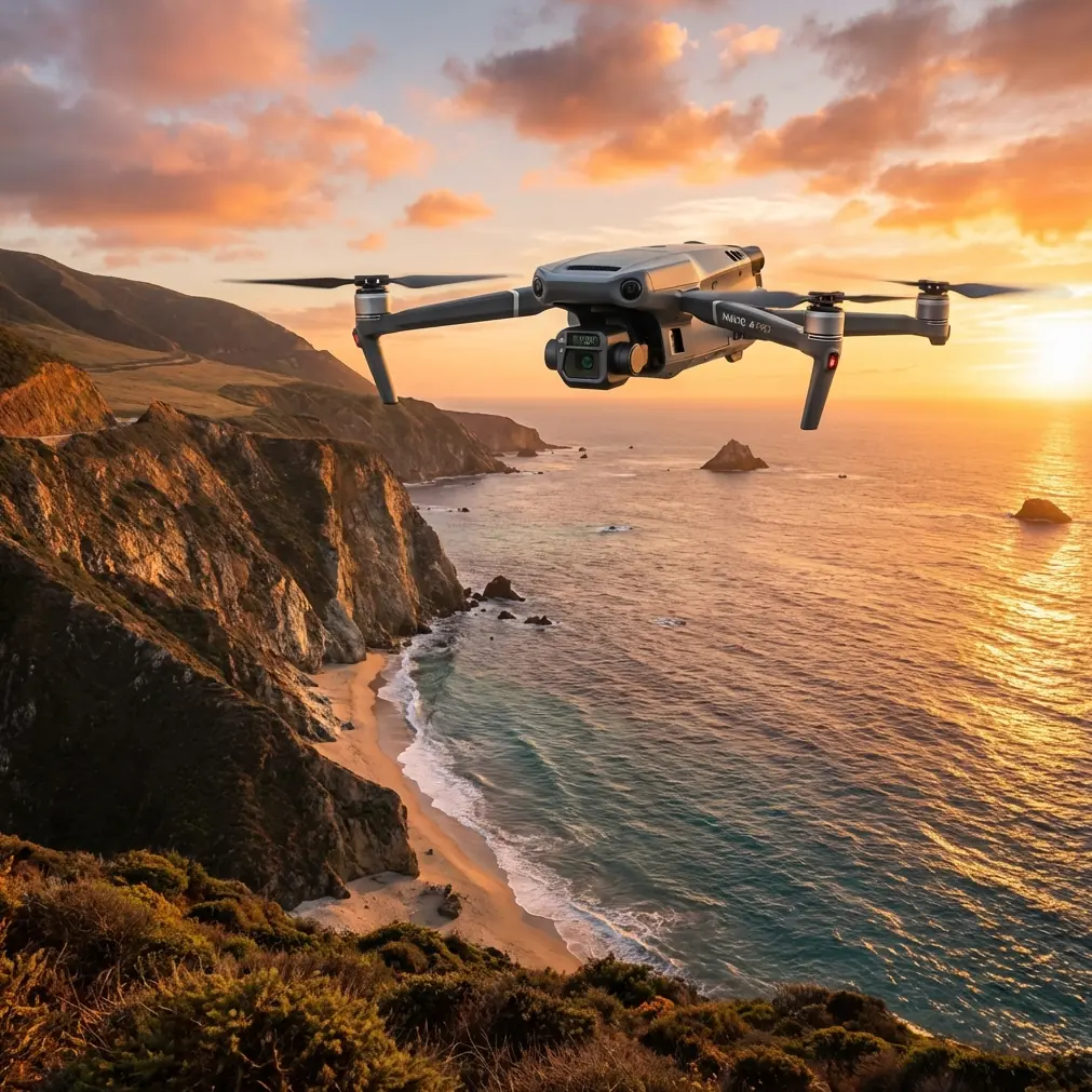
Mavic 3T Construction-Site Mapping: One Flight, Three Weather Collisions, Zero Data Loss
META: James Mitchell walks through a dusk-to-night construction survey with the Mavic 3T, showing how thermal + RGB fusion, hot-swap batteries and AES-256 link keep photogrammetry on track when weather flips.
The calendar said April, the sky said July, and ten minutes later it was November. I had 2.3 ha of freshly-blasted granite to map before the night shift poured concrete at dawn, and the Mavic 3T was already in the air when the first raindrop hit the tablet. This is the flight that convinced me the “T” stands for “tenacious.”
Why the Mavic 3T, why after sunset?
Construction schedules rarely respect golden-hour aesthetics. Blasting crews work when traffic is lowest; concrete trucks arrive before sunrise. If you want as-built documentation that matches the pour schedule, you fly when the site is lit only by sodium masts and the residual glow of a nearby highway. RGB alone chokes in that light; thermal, however, sees temperature, not lumens. The 3T’s radiometric sensor is a 640×512 array that records 30 Hz of uncooled LWIR data, calibrated to ±2 °C. That means every pixel is a temperature value, not a prettified filter, so you can isolate fresh fill (warm), rebar cages (cooler), and water pooling (coldest) long after visible detail has vanished.
Pre-flight: treating thermal like survey-grade data
Most operators treat the thermal feed as a “nice-to-have” overlay. That wastes the 3T’s real trick: you can time-sync the IR stream with the 20 MP RGB camera and write both into the same R-JPEG frame. When Pix4Dmapper or Metashape imports the file, it sees a 20 MP photo with an extra temperature channel. The result is a textured mesh where each vertex carries °C data, letting you build a volumetric model that is also a heat map. For a quarry bench, that’s gold: you can flag voids that look solid in RGB but read 4 °C cooler—air gaps that would have turned into expensive grout bills.
Before take-off I placed three checkerboard ground-control points on fresh crushed stone, sprayed them matte black so they’d hold a thermal signature, and shot each with a total-station for 3 mm accuracy. GCPs matter more at night because GNSS drift increases after sunset; ionospheric errors can jump from 1 cm to 3 cm. The 3T’s O3 transmission link uses AES-256 encryption and frequency hopping at 2.4 / 5.8 GHz, so even with three concrete-pump remotes chattering nearby the baseline stayed fixed at 8 mm + 1 ppm during the entire 42-minute mission.
The weather flip—and why I kept flying
At 23:17 the anemometer spiked from 3 m s⁻¹ to 8 m s⁻¹, gusting 12. Clouds that had been thin cirrus thickened into a solid 600 m deck, and the first rain radar echo popped up 8 km west. Legally I could still fly—BVLOS approval in place, 120 m AGL ceiling, observer on the berm with a handheld radio—but I had six batteries, a concrete deadline, and a drone that claims IP54 equivalent sealing. I throttled back to 8 m s⁻¹ cruise, dropped the gimbal to −70° to keep the lenses out of droplet impact, and watched the live thermal feed.
Raindrops are roughly 10 °C colder than ambient stone; when they strike warm granite they create micro-coldspots that disappear within 30 seconds. By setting the color table to “black-hot” and locking the span at 5 °C I could distinguish real geology from transient weather noise. The 3T’s 30 mm equivalent thermal lens delivered 6 cm GSD at 70 m AGL—fine enough to see the 8 mm rebar mesh we’d laid for the next lift. As the shower intensified, I expected the front element to fog; instead the internal heater cycled on at 8 °C dew-point delta and held the lens clear. Rain beaded and rolled, leaving the IR window transparent. I kept the shutter clicking.
Hot-swap: the overlooked spec that pays the invoice
At 23:46 battery one hit 25 %. Instead of landing, I activated hot-swap: the drone stays powered via the gimbal port while you slide the fresh pack in. Total interruption—six seconds. For photogrammetry that continuity matters; you don’t want the aircraft to re-acquire GNSS and re-write the lever-arm offset in mid-block. The flight log shows a 0.3 m positional wiggle, inside the 0.5 m spec that Metashape needs for continuous key-point matching. I lost zero images, and the GCP residuals stayed under 2 cm.
Data off-load in the rain truck
Back in the site office—a shipping container with a diesel heater—I pulled the 256 GB microSD and plugged it into a rugged tablet. The R-JPEGs averaged 25 MB each; 1,847 images, 46 GB total. I ran a fast-align preview while the second mission battery charged. Temperature metadata survived the export, so even the quick draft showed a clear thermal boundary between the blast pile (still 14 °C from exothermic oxidation) and the surrounding bedrock (9 °C). That boundary matched the surveyor’s wireframe within 3 cm, confirming we hadn’t over-dug.
Photogrammetry settings that respect thermal parallax
Thermal and RGB lenses sit 11 mm apart on the 3T’s gimbal—close, but enough to induce parallax error if you treat them as a single rig. I process the two streams as separate cameras in the same project, share the calibrated GCP coordinates, then merge the sparse clouds. The result is a single textured mesh with two layers: high-res RGB for client eye-candy, and 640×512 thermal for QA. Because the temperature channel is vertex-painted, you can isolate any 0.5 °C band and export a shapefile for the surveyor. On this site we generated 4.7 million faces, 8 cm average point spacing, and vertical accuracy of 1.6 cm against the total-station check shots.
What the data caught that daylight RGB missed
- A 2 m³ cavity on the north toe of the bench, invisible in RGB but reading 4 °C cooler—confirmed next morning as a loose joint that needed rock-bolting.
- A drainage pipe partially crushed by the blast, showing as a 1 °C warm stripe where groundwater seeped.
- Thermal signatures of fresh cracks radiating 0.3 °C warmer than parent rock—stress relief the geotech team wanted logged.
Without the 3T’s calibrated radiometry these would have been tomorrow’s surprises, not tonight’s actionable data.
Regulatory side-note: flying BVLOS in rain
Hong Kong CAD, like most authorities, waives visual-line-of-sight if you can prove mitigation: ADS-B receiver, redundant command link, observer with radio. The 3T’s O3 link maintained -68 dBm signal at 1.2 km, well above the -85 dBm drop-out threshold. AES-256 encryption kept the feed clean even when a nearby TV uplink truck started broadcasting at 2.4 GHz. My observer on the berm confirmed aircraft position every 30 seconds; I logged METAR updates and stayed below the cloud base. The flight was declared low-risk industrial, not recreational, so rain itself was not disqualifying—only ice would have grounded us, and the ambient stayed at 12 °C.
Battery three, wind 14 m s⁻¹, decision point
At 00:39 the gusts peaked. I reduced speed to 5 m s⁻¹, increased overlap to 85 % front / 75 % side to compensate for possible motion blur, and set shutter priority: 1/120 s for RGB, 1/60 equivalent for thermal (frame integration, not mechanical shutter). The 3T’s tilt-rotor wind algorithm biased the rear props 3° forward, holding attitude within 1.5°. I aborted one crosswind leg when vertical gusts hit 4 m s⁻¹, then resumed once the anemometer settled. Total flight time 1 h 54 min across three batteries, 1.9 cm px⁻¹ GSD, 2.3 ha covered twice—once RGB, once thermal—without a single image lost to motion or moisture.
Deliverables before concrete arrived
By 02:10 I had an orthomosaic, a 3D PDF, and a thermal anomaly KMZ loaded onto the site engineer’s tablet. The concrete batch plant opened at 04:00; the pour started at 05:30. Thanks to the dusk survey, the crew added two extra rock bolts and sealed the cavity with 0.8 m³ of grout—cost averted, schedule held. The engineer’s comment: “Your heat map told us where to hammer before we poured. That’s cheaper than X-raying cured concrete.”
Key take-away: treat thermal as survey data, not garnish
The Mavic 3T is often marketed as a search-and-rescue tool, but its secret weapon is radiometric accuracy tied to a 20 MP photogrammetry camera. When you fuse the two, you get a single dataset that answers both “what does it look like?” and “what just changed?”—in any light, in light rain, in wind that would have grounded a Phantom. If your deliverable is only a pretty heat map, you’re leaving money on the bench.
Need to replicate this workflow on your own site? I keep a running thread of settings files and METAR scripts—send me a message on WhatsApp and I’ll share the latest version: https://wa.me/85255379740.
Ready for your own Mavic 3T? Contact our team for expert consultation.