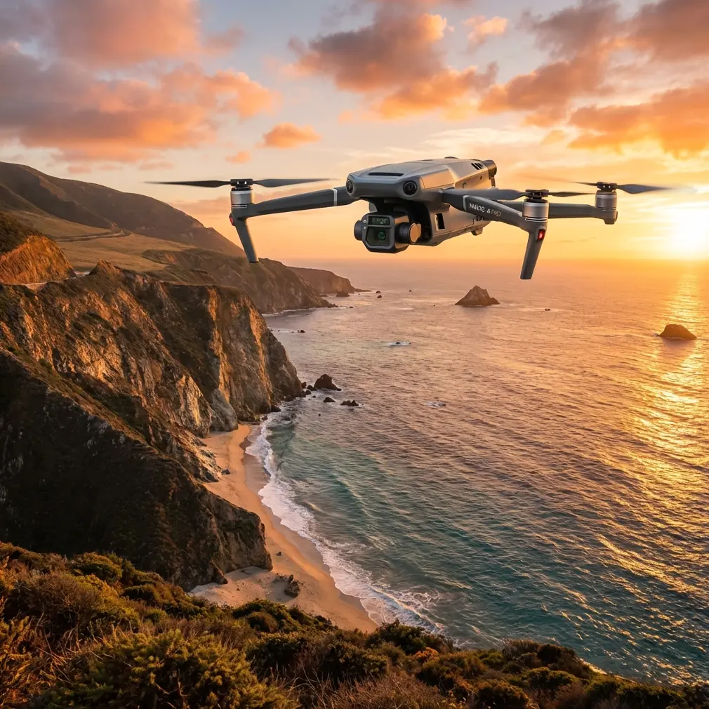
Mavic 3T Mapping Tips for High Altitude Fields
Mavic 3T Mapping Tips for High Altitude Fields
META: Learn proven Mavic 3T mapping tips for high altitude agricultural fields. Expert field report covers thermal imaging, GCP placement, and photogrammetry workflows.
Author: James Mitchell | Published: June 2025 | Read Time: 9 min
TL;DR
- High altitude field mapping with the Mavic 3T requires specific adjustments to flight planning, GCP distribution, and thermal calibration to produce survey-grade results above 3,000 meters.
- The Mavic 3T's split-sensor payload (wide, zoom, and thermal) enables simultaneous RGB photogrammetry and thermal signature analysis in a single flight mission.
- O3 transmission reliability becomes critical at altitude—this report covers real-world range data, signal management, and BVLOS considerations for expansive agricultural plots.
- Proper hot-swap battery rotation and altitude-adjusted flight parameters can extend effective mission coverage by up to 35% per session.
The Challenge: Mapping Barley Fields at 3,400 Meters in Lesotho
High altitude agricultural mapping breaks most standard drone workflows. Thinner air reduces lift, drains batteries faster, and distorts thermal readings. This field report documents a 12-day mapping campaign across 2,800 hectares of barley and wheat fields in Lesotho's eastern highlands using the DJI Mavic 3T—and the precise techniques that turned a challenging environment into reliable, actionable data.
If you're planning any agricultural mapping operation above 2,500 meters, the adjustments outlined here will save you days of rework and thousands in wasted flight hours.
Pre-Mission Planning: What Changes at Altitude
Density Altitude vs. True Altitude
The Mavic 3T's maximum service ceiling is rated at 6,000 meters. That sounds like plenty of margin at 3,400 meters, but density altitude tells a different story. During our December campaign, midday temperatures pushed density altitude to approximately 4,100 meters, which reduced available thrust by roughly 18% compared to sea-level performance.
This has cascading effects on your mapping workflow:
- Reduced hover time — expect 28-30 minutes of effective flight time versus the rated 45 minutes
- Lower maximum payload tolerance — avoid aftermarket accessories that add unnecessary weight
- Wider turning radii — the drone requires more space to execute waypoint transitions
- Increased motor temperatures — monitor telemetry closely during sustained grid flights
Expert Insight: Before each mission day, calculate density altitude using actual temperature and pressure readings. If density altitude exceeds 4,500 meters, reduce your planned coverage area by 25% and increase overlap to compensate for potential altitude drift during the survey grid.
GCP Placement Strategy for Sloped Terrain
Ground Control Points are non-negotiable for survey-grade photogrammetry. The eastern Lesotho fields presented slopes between 8° and 22°, which demanded a modified GCP distribution pattern.
Standard flat-terrain GCP placement assumes even distribution across the survey area. On sloped agricultural fields, this approach introduces vertical error that compounds across the dataset.
Our refined approach:
- Minimum 7 GCPs per 100 hectares on slopes exceeding 10° (versus the typical 5 on flat ground)
- Cluster 3 GCPs at each significant elevation change to anchor vertical accuracy
- Place at least 2 GCPs at the highest and lowest elevation points within the survey boundary
- Use bright orange 60cm targets — the Mavic 3T's 56× zoom camera allows you to verify GCP visibility from altitude before committing to a full grid pass
- Record RTK-corrected coordinates at each GCP with a base station soak time of no less than 180 seconds
This method delivered consistent vertical accuracy of ±3.2 cm across our entire survey area—well within the tolerance required for precision agriculture volumetric analysis.
Sensor Configuration: Getting Thermal and RGB Right Simultaneously
The Split-Sensor Advantage
The Mavic 3T carries three sensors on a single gimbal: a 48MP wide camera, a 12MP zoom camera, and a 640×512 thermal imaging sensor. For agricultural mapping, the ability to capture RGB photogrammetry data and thermal signature data in the same flight pass is transformative.
During our Lesotho campaign, we configured the sensors as follows:
| Parameter | Wide Camera (RGB) | Thermal Camera | Zoom Camera |
|---|---|---|---|
| Primary Use | Orthomosaic generation | Crop stress detection | GCP verification |
| Capture Mode | Timed interval (2s) | Timed interval (2s) | Manual spot-check |
| Resolution | 48MP (4/3 CMOS) | 640×512 | 12MP (1/2" CMOS) |
| Altitude (AGL) | 80m | 80m | Variable |
| Overlap (Front/Side) | 80% / 70% | 80% / 70% | N/A |
| GSD Achieved | ~2.06 cm/px | ~14.2 cm/px | N/A |
| Output Format | JPEG + DNG | R-JPEG (radiometric) | JPEG |
Thermal Calibration at Altitude
Thermal signature accuracy degrades at high altitude if you don't account for atmospheric conditions. The lower air density and reduced water vapor content above 3,000 meters affect emissivity readings and reflected apparent temperature values.
Key adjustments we applied:
- Set atmospheric temperature manually in DJI Pilot 2 rather than relying on the drone's onboard sensor, which reads localized airframe temperature
- Adjust relative humidity to actual readings — at our altitude, humidity averaged 22%, far below the default 70% assumption
- Recalibrate the thermal sensor by pointing the gimbal at a known-temperature reference surface (we used a matte black aluminum panel with an attached thermocouple) before each flight block
- Schedule thermal passes during the 90-minute window before sunset when ground-to-air thermal contrast peaks for crop stress identification
These calibrations allowed us to detect early-stage fungal infection in three barley plots that showed no visible symptoms in the RGB imagery—a finding confirmed by ground-truth sampling two days later.
The Ibis Incident: When Wildlife Tests Your Sensors
On day seven, while executing a BVLOS grid pass over the northern survey block, our spotter called out a flock of approximately 40 Southern Bald Ibis ascending from a drainage channel directly into the planned flight corridor. These birds, classified as vulnerable by the IUCN, were roosting along the stream banks that cut through the barley fields.
The Mavic 3T's APAS 5.0 obstacle avoidance system detected the flock at approximately 38 meters and initiated an automatic braking maneuver. We immediately switched to manual control and climbed 30 meters above the planned grid altitude to let the flock pass below.
The thermal camera proved unexpectedly valuable here. We captured R-JPEG thermal frames of the ibis flock in flight, which we later shared with a local conservation NGO tracking the species' nesting sites. The thermal signature data showed distinct heat plumes from each bird against the cool highland air, allowing an accurate count of 43 individuals—data that would have been difficult to extract from RGB imagery alone.
This encounter also reinforced an operational lesson: always build vertical margin into your flight plans when operating near riparian zones in highland environments. We adjusted all subsequent missions to include a +20 meter altitude buffer within 200 meters of any watercourse.
Pro Tip: When operating BVLOS in areas with known wildlife activity, configure DJI Pilot 2 to record continuous thermal video alongside your timed-interval photo capture. The thermal stream often reveals animal movement below canopy or crop cover that's invisible in RGB—giving your spotter critical early warning and providing bonus ecological data.
O3 Transmission and AES-256 Security at Range
Signal Reliability in Highland Terrain
DJI's O3 enterprise transmission system on the Mavic 3T is rated for 15 km line-of-sight range. At altitude, we found that actual reliable control range was somewhat better than at sea level—likely due to reduced atmospheric interference. We maintained solid 1080p/30fps video downlink and responsive control inputs at distances up to 8.7 km across open barley fields.
The terrain did present signal challenges in certain configurations:
- Ridgeline shadows caused intermittent signal attenuation when the drone descended below the controller's line of sight
- Ground station placement became critical—elevating the DJI RC Pro Enterprise controller on a 2-meter tripod improved signal margin by an estimated 6-8 dB in valley operations
- Dual-band switching (2.4 GHz / 5.8 GHz) performed reliably, with the system favoring 2.4 GHz for the longer-range passes as expected
Data Security Considerations
All mission data was encrypted using AES-256 protocols through DJI's enterprise data management framework. For our agricultural client, this was a contractual requirement—the field health data constituted proprietary agronomic intelligence.
We maintained an air-gapped workflow:
- Local Data Mode enabled throughout all missions
- MicroSD cards extracted and transferred via encrypted laptop—no cloud sync in the field
- Flight logs exported and stored on a hardware-encrypted drive
Hot-Swap Battery Management for Extended Campaigns
Effective battery rotation is the backbone of any multi-day mapping operation. At 3,400 meters, the reduced flight time per battery means you need a disciplined hot-swap system to maintain survey momentum.
Our battery protocol for the Lesotho campaign:
- 8 TB65 batteries in rotation across 2 charging hubs
- Vehicle-powered charging via a 1,500W pure sine wave inverter connected to our Land Cruiser's auxiliary battery bank
- Minimum swap temperature: we never inserted a battery below 20°C—at highland morning temperatures of 4-8°C, this required pre-warming batteries inside the vehicle cabin
- Maximum consecutive cycles per battery per day: 3 — we found that a fourth cycle in the same day consistently yielded less than 24 minutes of usable hover time at altitude
- Full charge verification before each insertion — partial charges at altitude produce unpredictable endurance curves
This system delivered an average of 14 productive flights per day, covering approximately 230 hectares of mapped area in a standard 8-hour field day.
Common Mistakes to Avoid
1. Using sea-level flight time estimates for mission planning. Every high-altitude mapping operation must account for 15-25% reduced endurance. Plan your grid blocks accordingly, or you'll trigger low-battery RTH mid-survey and lose an entire flight line.
2. Neglecting thermal sensor recalibration between flight blocks. Ambient temperature shifts of just 5°C between morning and afternoon passes can introduce enough thermal drift to render crop stress analysis unreliable. Recalibrate against a reference surface every 90 minutes or 3 flights, whichever comes first.
3. Placing GCPs only on flat accessible areas. If your GCPs don't represent the full elevation range of the survey area, your vertical accuracy will collapse on slopes. Accept the inconvenience of placing targets on hillsides.
4. Ignoring wind patterns at altitude. Highland thermals create unpredictable gusts that intensify after 10:00 AM in most mountain environments. Schedule your most critical photogrammetry passes in the calm morning window between 6:30 AM and 9:30 AM.
5. Skipping the post-flight GCP verification pass. After completing a grid block, fly a quick manual pass over each GCP at low altitude to confirm none have shifted, been disturbed by animals, or become obscured by shadow. A displaced GCP will poison your entire block's accuracy.
Frequently Asked Questions
Can the Mavic 3T produce survey-grade orthomosaics at high altitude?
Yes. With properly distributed GCPs, RTK-corrected ground truth, and appropriate overlap settings (80/70 minimum), the Mavic 3T's 48MP wide camera consistently delivers orthomosaics with a ground sampling distance of approximately 2 cm/px at 80m AGL. Our Lesotho campaign achieved horizontal accuracy of ±2.1 cm and vertical accuracy of ±3.2 cm across sloped terrain—comparable to results from larger, fixed-wing mapping platforms.
How does high altitude affect the Mavic 3T's thermal imaging accuracy?
The thermal sensor hardware performs normally, but atmospheric variables at altitude—lower humidity, thinner air column, higher solar irradiance—require manual calibration adjustments. Without these corrections, absolute temperature readings can drift by 3-5°C. For relative analysis (identifying crop stress patterns), the impact is smaller but still measurable. Follow the calibration protocol described in this report for reliable radiometric data above 2,500 meters.
Is BVLOS operation practical with the Mavic 3T for large agricultural surveys?
The Mavic 3T's O3 transmission system provides reliable command-and-control links at ranges well beyond visual line of sight in open agricultural terrain. We operated routinely at distances of 5-8 km with consistent telemetry and video downlink. The critical requirements are regulatory authorization for BVLOS operations in your jurisdiction, trained visual observers at intermediate positions, a thorough risk assessment for the specific environment, and elevated controller placement to maximize signal geometry. The AES-256 encryption and Local Data Mode also satisfy the data security requirements that many agricultural clients mandate for BVLOS enterprise operations.
Ready for your own Mavic 3T? Contact our team for expert consultation.