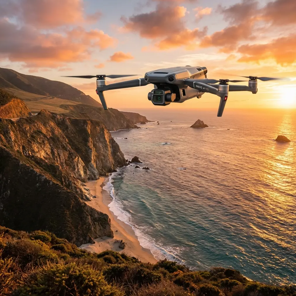
Mapping Fields in Mountain Terrain With the Mavic 3T
Mapping Fields in Mountain Terrain With the Mavic 3T: What Actually Matters
META: Practical expert advice on using the DJI Mavic 3T for mountain field mapping, with GIS workflow context, thermal relevance, pre-flight safety checks, and terrain-specific data capture tips.
Mountain field mapping sounds straightforward until the aircraft is in the air and the terrain starts making decisions for you.
Terraced slopes, broken ridgelines, tree cover, variable wind, and weak visual references all complicate what would be a routine job on flatter ground. That is exactly why the Mavic 3T deserves a more careful discussion than the usual feature recap. In mountain agriculture and land management, the aircraft is not just a camera platform. It becomes the front end of a GIS workflow where every capture decision affects how clearly you can interpret land boundaries, crop condition, access paths, drainage, and even suspected land-use violations.
The reference material behind this piece points in a specific direction. One source from Esri’s drone solution material shows a forestry-focused scene centered on the distribution of parcels and area units tied to suspected illegal occupation of forest land. Another GIS integration document emphasizes the broader idea of drone data being folded into one unified workflow rather than treated as a standalone image collection exercise. That matters for Mavic 3T users in the mountains, because the real value is not the flight itself. The value is turning difficult terrain into mappable, defensible spatial evidence.
Why mountain field mapping is different
A mountain field rarely behaves like a neat survey block.
Plots are irregular. Edges may be defined by stone lines, narrow paths, tree shadows, water channels, or abrupt elevation changes. In some cases, the question is not only “where is the field?” but “where does one use zone end and another begin?” The Esri reference is useful here because it hints at exactly this operational problem: you are often mapping not just land cover, but land status and parcel distribution at a fine area-unit level.
That is where the Mavic 3T can earn its place. Not because thermal replaces standard mapping. It does not. And not because every mountain job needs a thermal layer. Many do not. But in uneven terrain, thermal signature can help reveal water movement, stressed vegetation bands, recently disturbed soil, and field boundaries that are harder to separate in visible imagery alone, especially during early morning or late-day operations.
In practice, mountain mapping with the Mavic 3T works best when you stop thinking in terms of “one mission, one output.” A better mindset is “one flight, several interpretive layers.”
The GIS lesson hidden in the source material
The second reference, focused on integrated drone use in the GIS industry, may look broad at first glance, but its real message is operational: drone flights should feed a location-based decision system, not end as isolated image folders.
That distinction changes how you plan a mountain mission with the Mavic 3T.
If the deliverable is a stitched orthomosaic for photogrammetry, your route, overlap, terrain-following choices, and GCP strategy become critical. If the deliverable must also support field classification, irrigation review, slope access planning, or dispute resolution, then the thermal pass, oblique imagery, and geospatial attribution become just as important.
This is the hidden advantage of the Mavic 3T in rugged agricultural areas. It can support a mixed evidence model:
- visible imagery for orthomosaic and photogrammetry
- thermal data for pattern detection
- field observations linked back into GIS layers
- parcel interpretation against topography and land-use context
When a GIS team later overlays drone imagery with cadastral boundaries, vegetation data, stream channels, or historical land records, the drone mission stops being a simple survey and starts becoming a decision product.
Start with the least glamorous step: cleaning before takeoff
Most operators rush through pre-flight in mountain environments because they are focused on light, battery timing, and weather windows. That is a mistake.
If you are using the Mavic 3T for mountain field mapping, one of the smartest safety habits is a pre-flight cleaning step, especially around the vision sensors, camera glass, thermal lens window, and airframe vents. Dust, pollen, mist residue, or fine soil from unpaved access roads can degrade obstacle sensing, soften imagery, and reduce confidence in close-terrain operation.
This is not cosmetic maintenance. It affects safety features directly.
A thin film on forward or downward sensors can create misleading behavior near ridges, terraces, or uneven takeoff zones. A smudged thermal window can flatten temperature contrast when you are trying to identify drainage lines or plant stress. Before every launch, I would treat cleaning as part of mission assurance:
- Wipe visible and thermal optics with proper lens-safe materials.
- Check obstacle sensing windows for dirt, condensation, or insect residue.
- Inspect propellers for nicks from gravel launch sites.
- Confirm landing area is free of loose debris that can be pulled upward.
- Recheck gimbal movement after cleaning.
On mountain jobs, this step is often the difference between a clean data day and a wasted sortie.
Where thermal helps, and where it does not
The Mavic 3T’s thermal capability is useful, but only if you are disciplined about the question you are asking.
If your goal is high-precision photogrammetry for acreage calculation or terrain reconstruction, the visible sensor workflow remains primary. You will still need proper overlap, a stable altitude plan, and, when accuracy requirements justify it, GCPs. Ground control points are especially valuable in mountain terrain because vertical variation, irregular plot geometry, and weak road access can create georeferencing drift that may not be obvious until you compare outputs against parcel data.
Thermal becomes more meaningful in these scenarios:
- identifying water seepage across terraces
- spotting uneven crop vigor bands
- distinguishing disturbed ground from stable cover
- separating sun-exposed and shaded field patterns during interpretation
- documenting environmental conditions that visible imagery alone may understate
The reference to parcel distribution and area-unit mapping in the Esri material is relevant here. When land status is under review, a thermal layer may not prove a legal boundary, but it can highlight where recent activity, soil disturbance, or land-use change deserves closer inspection within a GIS workflow.
That is operational significance, not novelty.
Transmission and terrain: why O3 matters more in the mountains
Mountain mapping punishes weak links, and transmission is one of them.
O3 transmission matters because ridgelines, tree bands, and changing sight lines can quickly degrade your operational margin. In open plains, a link budget that feels comfortable often stays comfortable. In mountain terrain, the geometry changes every few seconds. Your aircraft may remain close in map distance while becoming partially screened by terrain.
That does not mean you should push into risky flight profiles. It means strong transmission resilience gives the pilot more stable control and video feedback during lawful, well-planned missions. For mountain field work, that translates into better route adherence, fewer unnecessary pauses, and clearer confidence when checking image quality at the edge of a survey block.
Some operators discussing BVLOS tend to jump ahead of the workflow. The wiser approach is to plan every mountain mission around local regulations, terrain visibility, and risk controls first. The Mavic 3T can support advanced operations in mature programs, but field mapping quality still depends more on route design, observation discipline, and terrain awareness than on ambition.
Security is not a side topic when GIS data is sensitive
The prompt included AES-256, and it deserves mention for a reason.
Mountain field mapping often intersects with sensitive land records, agricultural productivity data, infrastructure locations, and ownership disputes. If your imagery is being integrated into enterprise GIS systems, transmission and data security stop being abstract technical terms. They become part of client trust and operational governance.
AES-256 matters because organizations handling land-use data, environmental assessments, or infrastructure-linked field mapping need confidence that their flight ecosystem is not casual about protection. This is especially true when the output may support internal review, contractor coordination, or regulated reporting.
In short, data quality and data stewardship belong in the same conversation.
Practical flight pattern advice for mountain fields
For Mavic 3T users mapping fields in the mountains, there are three recurring mistakes I see.
1. Flying one altitude across uneven terrain
This creates inconsistent ground sampling and can compromise both thermal interpretation and photogrammetry. Terrain-aware planning is not optional on steep agricultural land. If your software and workflow allow terrain following, use it carefully. If not, break the mission into elevation bands instead of forcing one blanket profile across the whole slope.
2. Ignoring GCP placement because the drone has strong positioning
The aircraft is capable, but mountain geometry is unforgiving. A few well-distributed GCPs can improve confidence where field edges matter, especially if the final map will be compared with GIS parcel layers or used for area calculations.
3. Capturing thermal too late in the day
By midday, sun loading can overwhelm subtle patterns. If the objective is water behavior, vegetation stress contrast, or disturbed-soil detection, early morning usually gives cleaner thermal separation. The visible mapping mission can often be more flexible, but thermal timing is less forgiving.
The overlooked benefit of the Mavic 3T in agriculture-adjacent mapping
Many people think about the Mavic 3T as a specialized inspection aircraft that can also do mapping. In mountain field work, the better description is that it helps bridge inspection logic and spatial analysis.
That is where the source materials quietly align.
The Esri document points toward land-unit distribution and area-based interpretation in a forestry context. The GIS integration document points toward one connected workflow. Put those together and you get a practical model for the Mavic 3T in mountain agriculture:
- fly to collect evidence from a difficult terrain environment
- organize the imagery as GIS-ready information
- interpret field conditions in relation to parcel structure, slope, water, and access
- support action, whether that means cultivation planning, land-use clarification, drainage work, or environmental review
That is a more mature use case than simply producing nice aerial images.
A sample problem-solution mindset for a mountain job
Let’s say a land manager needs to map fragmented mountain fields where some edges are obscured by mixed vegetation and older terrace walls. Standard RGB imagery can document the surface clearly enough for a base orthomosaic. But there may still be ambiguity in disturbed zones and moisture-related transitions.
A stronger Mavic 3T workflow would look like this:
- clean sensors and optics before launch to protect obstacle sensing and image quality
- run an RGB mapping mission designed for photogrammetry
- place GCPs where parcel-edge confidence matters most
- collect an early thermal pass to reveal drainage and stress patterns
- bring both datasets into GIS with parcel and topographic layers
- review discrepancies at the small-area level rather than generalizing across the whole site
This is exactly the kind of operational logic hinted at by the reference material’s emphasis on distribution mapping and integrated GIS application.
If you are building that kind of workflow and want to compare mission design choices, this quick Mavic 3T field mapping chat can save time before you head into the mountains.
What the Mavic 3T does best in this scenario
For mountain fields, the Mavic 3T is not about replacing a dedicated large-format survey platform. It is about speed, access, mixed-sensor interpretation, and practical deployment in places where road access is poor and terrain complexity is high.
Its strongest role appears when:
- the site is hard to walk efficiently
- visible imagery alone may miss operational context
- thermal signature can improve interpretation
- the output must fit into a GIS-based land management workflow
- field teams need a compact system that can be deployed repeatedly across fragmented plots
Hot-swap batteries are often mentioned in broader drone operations because they reduce downtime, but with the Mavic 3T the bigger lesson is battery discipline rather than battery swapping itself. In mountain conditions, keep rotation tight, watch temperature effects, and leave margin for climb, repositioning, and an alternate landing path if wind shifts along the slope.
Final thought
The smartest way to use the Mavic 3T in mountain field mapping is to treat it as a GIS sensor platform, not a flying camera.
That framing changes everything. You clean it more carefully because sensor integrity affects safety and data reliability. You plan GCPs because parcel-level confidence matters. You use thermal selectively because it can reveal land and water behavior that supports interpretation. You respect O3 transmission because the mountain does not care what worked well on flat ground. And you protect data because mapped land information often carries real operational sensitivity.
The references behind this article are not generic. They point toward an integrated, evidence-based workflow where drone imagery supports parcel distribution analysis and location intelligence. For mountain agriculture, forestry-edge land management, and terrain-heavy field assessment, that is exactly the conversation the Mavic 3T deserves.
Ready for your own Mavic 3T? Contact our team for expert consultation.