Mavic 3T for Remote Forest Mapping: What Actually Matters
Mavic 3T for Remote Forest Mapping: What Actually Matters in the Field
META: A field-focused tutorial on using the Mavic 3T for remote forest mapping, with practical guidance on thermal signature capture, photogrammetry workflow, transmission reliability, and accessory choices that improve results.
Remote forest mapping sounds straightforward until you leave the road, lose cell coverage, and realize every weakness in your workflow gets amplified by distance.
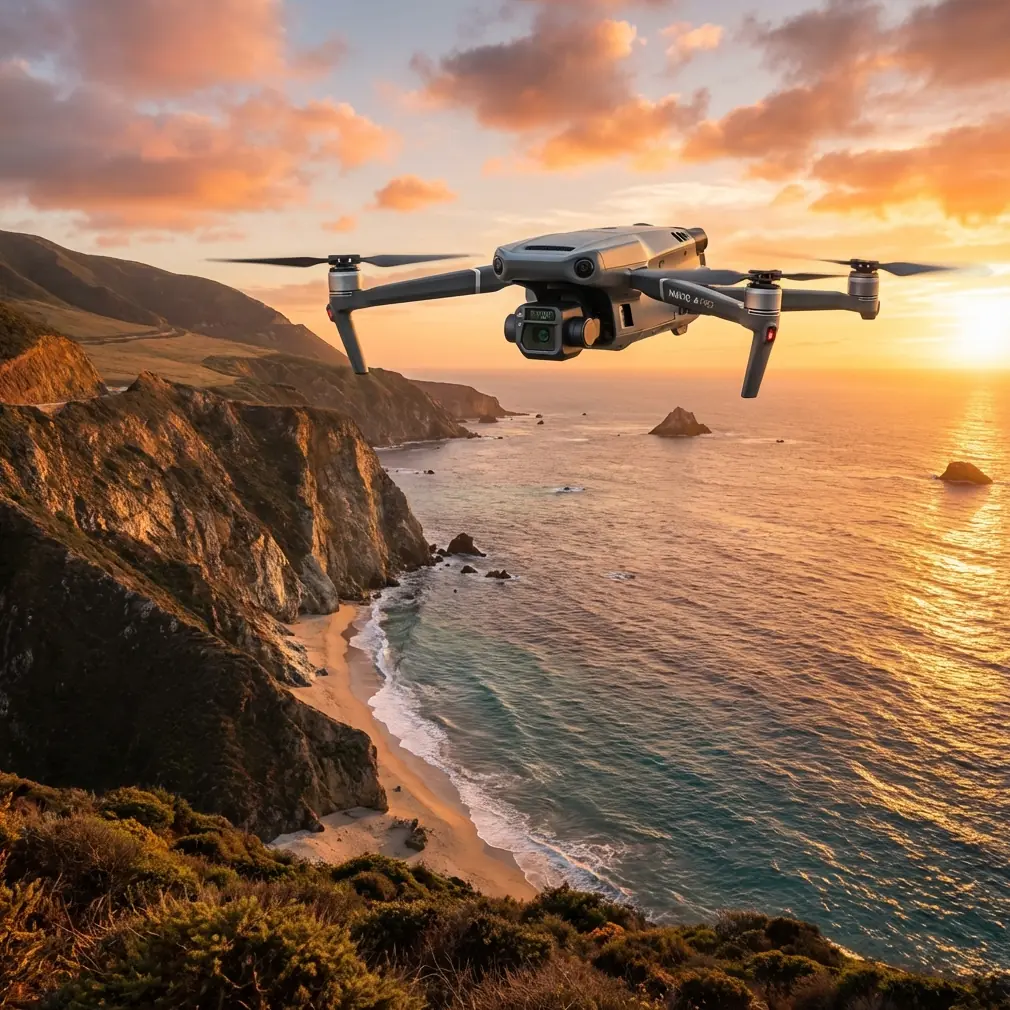
That is where the Mavic 3T earns attention. Not because it is a generic “all-around” drone, but because it sits in a very specific operational sweet spot: compact enough to hike with, capable enough to document large wooded areas, and flexible enough to shift between visible imaging and thermal signature work without changing aircraft. For teams dealing with forestry assessment, habitat monitoring, drainage tracing, post-storm inspections, or remote land documentation, that combination changes the pace of a mission.
I’ve worked with crews who assumed a larger mapping platform was automatically the better choice for forests. Sometimes it is. But when the real-world constraints include steep access, uncertain weather windows, battery discipline, and the need to verify anomalies on site, the Mavic 3T often becomes the more useful aircraft rather than the more impressive one.
This tutorial is built around that reality.
Why the Mavic 3T makes sense in remote woodland operations
Forest mapping is not one task. It is several overlapping jobs:
- building usable orthomosaics through photogrammetry
- identifying heat-related anomalies through thermal signature review
- navigating tree canopy, terrain breaks, and launch limitations
- maintaining link stability at long stand-off distances
- preserving data security when working on sensitive commercial land
The Mavic 3T is strong here because it lets one field team gather different layers of information during the same deployment. You can document access roads, canopy gaps, erosion patterns, water movement, and heat anomalies without swapping to a separate thermal platform.
That matters in remote operations because every extra case, battery type, and payload change adds friction. In a forest environment, friction means fewer flights, less coverage, and more missed details.
The first decision: are you mapping the ground, the canopy, or the problem?
Most unsuccessful drone missions in forests fail before takeoff. The operator says they are “mapping the area,” but the area is not the real subject.
With a Mavic 3T, define the mission in one of three ways:
1. Ground-surface documentation
Use this when you need trails, service roads, culverts, landslide edges, stream crossings, or open clearings. Photogrammetry is the main output. You are trying to create measurable visual products.
2. Canopy and vegetation pattern review
Here the visible camera still matters, but the purpose shifts. You are looking for stress patterns, storm damage, thinning zones, or edge effects. Depending on the forest type and canopy density, thermal signature review can help isolate unusual areas worth inspecting.
3. Anomaly-led inspection
This is where the Mavic 3T becomes especially efficient. Instead of mapping everything at maximum detail, you use thermal data to identify unusual zones first, then collect visible imagery to verify what they are. For remote forests, this can save major time when the area is large and access is poor.
The aircraft is not replacing good survey planning. It is reducing the gap between broad-area screening and close visual confirmation.
Transmission is not a footnote in forests
Open-country drone performance does not predict forest performance.
In woodland terrain, link quality is affected by tree mass, moisture, undulating elevation, and the simple fact that line-of-sight disappears quickly once the aircraft drops behind ridges or dense stands. This is why O3 transmission matters operationally, not just on paper.
A strong transmission system helps in two ways. First, it supports safer and more stable image acquisition at longer stand-off distances. Second, it allows the pilot to hold a better launch position instead of chasing the aircraft physically through rough terrain just to maintain signal.
For remote mapping teams, that means fewer compromised flight lines and less pressure to launch from bad ground. In practice, I advise crews to treat O3 transmission as a mission-planning asset, not a convenience feature. It gives you more freedom to choose a launch site with cleaner GNSS reception, safer footing, and a better recovery path.
That is especially valuable when you are trying to keep image geometry consistent for photogrammetry.
Thermal is not just for “finding hot things”
A lot of Mavic 3T content oversimplifies thermal work. In forests, useful thermal data often has nothing to do with a dramatic hotspot.
Thermal signature analysis can support remote mapping by revealing:
- water flow or seepage patterns that are not obvious in RGB imagery
- sun exposure differences across slopes
- disturbed soil or recent ground movement
- mechanical or infrastructure heat sources near utility corridors
- wildlife-sensitive zones that should influence route planning
- post-fire residual heat pockets in recovery assessments
The key is timing. Thermal is highly sensitive to environmental conditions. Midday flights in heavily sunlit terrain can wash subtle differences into noise. Early morning or late-evening windows often produce more readable contrast, especially when your goal is to separate natural background variation from meaningful anomalies.
This is why I rarely recommend treating the Mavic 3T as a “single-pass does everything perfectly” tool. In remote forest mapping, the better workflow is often two linked sorties:
- a thermal-led pass during the best contrast window
- a visible-light photogrammetry pass when illumination supports cleaner texture and overlap
That approach creates a more defensible dataset.
Photogrammetry under canopy limits: what to expect
The biggest misconception with the Mavic 3T in forests is that it can somehow see the ground through dense canopy and generate a perfect terrain model. It cannot. No small optical mapping workflow can break that rule.
What it can do well is create strong deliverables for:
- open woodland
- fragmented canopy
- logging zones
- trails and roads
- river edges
- utility cuts
- burn scars
- clearings and transition areas
If the forest is dense, your orthomosaic may represent the canopy surface more than the terrain. That is still useful, but only if you state it honestly. For clients and internal teams alike, set expectations early: this is canopy-aware visual mapping, not a substitute for methods designed to penetrate vegetation.
Where the Mavic 3T becomes valuable is in how quickly it lets you connect the orthomosaic to anomaly review. A patch that looks visually normal may carry a thermal pattern worth checking. A canopy opening that appears insignificant on RGB may reveal drainage stress when compared with thermal variation.
That synthesis is the point.
A small manufacturing detail that explains a big field lesson
Two technical references from traditional aircraft design are unexpectedly relevant here.
One reference describes a standard cloth-reinforced rubber hose and includes a surface-quality requirement stating that the inner surface must not have cracks, bubbles, or pores above the allowed dimensional threshold. Another gives involute spline tolerance formulas and table values, including tolerance classes where values such as 31, 13, 17, and 12 µm appear in the progression of total and related tolerances.
At first glance, these details seem far removed from a Mavic 3T in a forest. They are not.
They point to the same engineering truth: field reliability starts with small tolerances and material integrity. A hose with internal defects may look acceptable until pressure and vibration expose the weakness. A spline system with loose tolerance control may function in a calm test environment yet degrade under repeated load. Drone operations in remote woodland punish those kinds of hidden weaknesses.
Why does that matter for a Mavic 3T workflow?
Because remote mapping is where accessory quality, mounting precision, and transport discipline stop being minor concerns. If you add third-party hardware with poor fit or inconsistent materials, you introduce your own failure points into an aircraft that may be operating hours from easy support. The references are a reminder that precision and material quality are not abstract engineering trivia. They are what separate dependable field systems from improvised ones.
The third-party accessory that actually helped
One of the most useful enhancements I’ve seen for remote Mavic 3T work was not exotic. It was a well-designed third-party RTK-compatible ground control kit paired with durable, high-visibility GCP markers.
That setup improved the mission in three concrete ways.
First, it tightened geospatial confidence in areas where tree cover, terrain shape, or launch offsets made absolute positioning harder to trust on aircraft data alone.
Second, it reduced the need for repeat visits. In remote forest work, re-flying because your control was weak is not a small inconvenience. It can mean another day of travel and another weather gamble.
Third, it created a better bridge between thermal findings and map products. When a thermal anomaly had to be referenced against a measurable location on a site plan, strong GCP discipline made the data easier to defend.
If you are building a serious forest workflow around the Mavic 3T, GCPs are still worth your attention. Compact aircraft convenience should not tempt you into casual survey habits.
Battery strategy matters more than headline flight time
Remote woodland teams often talk about flight time as if it is one number. It is not. Your usable mission time depends on hike-in distance, temperature, launch surface, wind over ridgelines, and the time spent hovering to verify targets.
That is why hot-swap batteries matter as a workflow concept even when your exact field setup varies. The real gain is not just speed. It is continuity. You maintain momentum, preserve the weather window, and avoid long pauses that break concentration and sequencing.
In forests, pauses create mistakes. A delayed relaunch can shift light conditions, change thermal contrast, or tempt the crew to shorten overlap planning just to finish before conditions turn. Keeping battery transitions efficient protects data quality.
My advice is simple: plan your battery rhythm around mission phases, not percentages alone. Have one sequence for broad mapping, another for thermal verification, and a final reserve for contingency recovery or supplemental oblique capture.
Data security is easy to ignore until it isn’t
Commercial forestry, conservation contracts, and private land assessments can involve sensitive location data. Access roads, utility lines, environmental findings, and operational layouts all carry value.
That is why AES-256 matters in the conversation. Not as a spec-sheet ornament, but as part of a data-governance posture. If your team is mapping remote forests for enterprise clients, utilities, land managers, or environmental consultants, encrypted handling of transmitted and stored information should be treated as normal professional practice.
The drone is not the entire security system, of course. But if your aircraft supports stronger protection and your workflow does not use it, that is a management issue, not a technology issue.
What about BVLOS?
BVLOS sits at the edge of many remote forest mapping discussions because large sites naturally tempt operators to think beyond visual line of sight. The practical answer is straightforward: plan around the rules and approvals that apply in your operating area, and do not assume the terrain will support the same margins you have in open land.
Even when a mission framework permits expanded operations, forests still challenge visibility, situational awareness, and communication discipline. The Mavic 3T can support efficient coverage, but efficiency should come from planning, staging, and route design first.
A practical field workflow for remote forest mapping with the Mavic 3T
Here is the workflow I recommend most often:
Step 1: Define the deliverable before the route
Orthomosaic, thermal anomaly map, corridor assessment, drainage review, or mixed inspection. Pick one lead output.
Step 2: Scout launch and recovery points
Choose positions with clean sky view, safe footing, minimal canopy interference, and good fallback landing options.
Step 3: Place GCPs where they will survive the environment
Use visible markers in openings, road edges, and stable clearings. Avoid locations where shadows or debris will obscure them.
Step 4: Fly the thermal pass at the right time
Do this when environmental contrast supports interpretation. Early and late windows are often stronger than midday.
Step 5: Fly the photogrammetry pass separately
Prioritize overlap, consistency, and route discipline. Do not rush visible mapping because thermal already “found the issue.”
Step 6: Review in the field
Before hiking out, verify coverage and inspect any thermal anomalies against visible imagery.
Step 7: Document uncertainties honestly
Dense canopy, shadowing, and terrain occlusion should be stated in your report. Good drone data is not weakened by honest limitations.
If you are refining a workflow for this kind of mission and want to compare field setups with someone who understands woodland operations, this direct channel is useful: message our drone team on WhatsApp.
The real value of the Mavic 3T in remote forests
The Mavic 3T is not magical. It will not penetrate dense canopy, erase bad planning, or replace ground truth. What it does offer is a rare field balance: portability, thermal awareness, visual documentation, and operational efficiency in a package that one remote crew can carry without turning the mission into a logistics exercise.
That balance is why it keeps showing up in serious civilian work.
When teams succeed with it, they do three things well. They respect signal and terrain. They separate thermal collection from photogrammetry when conditions demand it. And they treat accessories, control, and data handling with the same seriousness that older aircraft engineers gave to hose surface integrity and spline tolerances. Tiny flaws become large failures once the system is under stress.
Remote forest mapping is exactly that kind of stress test.
Ready for your own Mavic 3T? Contact our team for expert consultation.