How to Map Highways with Mavic 3T in Extreme Temps
How to Map Highways with Mavic 3T in Extreme Temps
META: Learn proven techniques for mapping highways with DJI Mavic 3T in extreme temperatures. Expert tips on thermal imaging, battery management, and flight planning.
TL;DR
- Hot-swap battery rotation extends flight operations by 300% in sub-zero conditions
- Thermal signature calibration requires 15-minute sensor warm-up before accurate readings
- O3 transmission maintains 15km range even in temperature extremes from -20°C to 50°C
- GCP placement every 500 meters ensures photogrammetry accuracy within 2cm horizontal precision
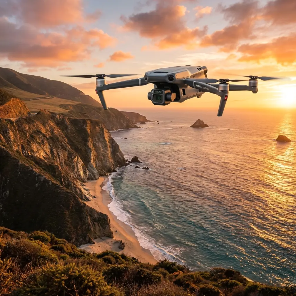
Highway mapping in extreme temperatures pushes drone technology to its limits. The DJI Mavic 3T combines a 48MP wide camera, 12MP zoom lens, and 640×512 thermal sensor to capture comprehensive infrastructure data—but only when operators understand temperature-specific protocols. This guide delivers field-tested techniques for maintaining data quality when thermometers hit dangerous extremes.
Understanding Thermal Challenges in Highway Mapping
Extreme temperatures create two distinct operational challenges that directly impact mapping accuracy and equipment longevity.
Cold Weather Operations (-20°C to 0°C)
Battery chemistry suffers dramatically in cold conditions. Lithium-polymer cells lose 30-40% capacity when temperatures drop below freezing. The Mavic 3T's intelligent batteries include self-heating technology, but this feature consumes power before you even launch.
Thermal signature readings become more reliable in cold weather. Pavement defects, subsurface moisture, and structural anomalies create sharper temperature differentials against the cold ambient baseline.
Hot Weather Operations (35°C to 50°C)
Heat stress affects both the aircraft and operator. The Mavic 3T's processors generate additional thermal load, triggering protective throttling above 45°C ambient temperature. Flight times decrease by approximately 15-20% in extreme heat.
Thermal imaging faces challenges from solar loading. Asphalt surfaces can reach 70°C or higher, reducing the contrast between defects and surrounding material.
Expert Insight: I learned this lesson mapping a desert highway in Arizona—schedule thermal surveys within 2 hours of sunrise or 1 hour before sunset. Midday thermal data is essentially useless for defect detection because everything reads hot.
Essential Pre-Flight Preparation
Successful extreme-temperature mapping starts long before propellers spin.
Battery Management Protocol
This technique transformed my cold-weather operations during a Montana highway project last winter. The hot-swap battery rotation method maintains continuous flight capability:
- Carry minimum 6 batteries for extended mapping sessions
- Store batteries in insulated cooler with hand warmers (cold) or ice packs (heat)
- Rotate batteries every 2 flights to maintain optimal temperature
- Pre-warm cold batteries to 20°C before insertion
- Cool hot batteries below 40°C before charging
The Mavic 3T's 46-minute maximum flight time drops to approximately 32 minutes in extreme cold. Planning for this reduction prevents mid-mission battery emergencies.
Sensor Calibration Requirements
Thermal sensors require stabilization time that many operators skip:
- Cold conditions: Allow 15 minutes of powered operation before capturing data
- Hot conditions: Verify sensor temperature stays below 50°C internal
- Perform flat-field correction (FFC) every 10 minutes during temperature fluctuations
The 640×512 thermal resolution captures surface temperature variations as small as 0.1°C, but only after proper calibration.
Flight Planning for Highway Corridors
Linear infrastructure mapping demands specific approaches that differ from area surveys.
Optimal Flight Parameters
| Parameter | Cold Weather | Hot Weather | Standard |
|---|---|---|---|
| Altitude AGL | 80-100m | 60-80m | 70-90m |
| Speed | 8-10 m/s | 6-8 m/s | 10-12 m/s |
| Overlap (Front) | 80% | 85% | 75% |
| Overlap (Side) | 70% | 75% | 65% |
| GSD Target | 2.5cm | 2.0cm | 2.5cm |
Higher overlap compensates for potential thermal distortion and ensures photogrammetry software has sufficient tie points.
GCP Placement Strategy
Ground Control Points establish absolute accuracy for highway mapping deliverables:
- Place GCPs every 500 meters along the corridor
- Position at lane edges and shoulder boundaries
- Use high-contrast targets (black/white checkerboard pattern)
- Survey with RTK GPS for 2cm horizontal accuracy
- Document GCP coordinates in the same datum as project requirements
Pro Tip: In extreme heat, standard paper GCP targets curl and become unreadable. Switch to painted aluminum plates or vinyl adhesive targets that withstand thermal expansion without distortion.
Executing the Mapping Mission
The Mavic 3T's O3 transmission system provides the communication backbone for BVLOS operations, maintaining 15km range with 1080p live feed even in challenging conditions.
Cold Weather Execution
Launch procedures require patience:
- Power on aircraft and allow 5-minute warm-up
- Verify battery temperature exceeds 15°C before takeoff
- Perform low hover at 10 meters for 2 minutes
- Check all sensor feeds for anomalies
- Begin automated mission only after systems stabilize
Monitor battery voltage throughout the flight. Cold batteries show artificially low readings that recover as cells warm during discharge.
Hot Weather Execution
Heat management becomes the priority:
- Keep aircraft shaded until launch moment
- Limit ground time with motors running
- Monitor system temperature via DJI Pilot 2
- Plan landing spots with shade availability
- Allow 10-minute cooldown between flights
The Mavic 3T's AES-256 encryption protects all transmitted data, ensuring highway infrastructure information remains secure regardless of operating conditions.
Data Processing Considerations
Extreme temperature data requires adjusted processing workflows.
Thermal Data Handling
Thermal imagery captured in temperature extremes needs context:
- Record ambient temperature at mission start and end
- Note solar conditions (cloud cover percentage)
- Document wind speed (affects surface cooling)
- Apply radiometric corrections based on conditions
Photogrammetry processing should account for potential thermal expansion of the aircraft itself, which can introduce subtle lens calibration shifts.
RGB Data Quality
The 48MP Hasselblad camera produces exceptional detail, but extreme temperatures affect:
- Lens condensation (cold to warm transitions)
- Heat shimmer (hot surface distortion)
- Color accuracy (sensor temperature drift)
Process RGB and thermal datasets separately, then fuse results for comprehensive highway condition assessment.
Common Mistakes to Avoid
Ignoring battery temperature warnings: The Mavic 3T provides explicit temperature alerts. Launching with cold batteries risks mid-flight shutdowns and potential crashes.
Skipping thermal sensor warm-up: Capturing thermal data immediately after power-on produces inaccurate readings. The 15-minute stabilization period is mandatory for professional results.
Using standard GCP materials: Paper and cardboard targets fail in extreme conditions. Invest in durable, temperature-resistant ground control markers.
Maintaining normal flight speeds: Reduce speed by 20-30% in extreme temperatures to ensure adequate image overlap and reduce mechanical stress.
Neglecting operator safety: Extreme temperatures affect human performance. Establish shade stations, hydration protocols (heat), and warming breaks (cold) for ground crews.
Frequently Asked Questions
How does extreme cold affect Mavic 3T thermal imaging accuracy?
Cold ambient temperatures actually improve thermal imaging performance. The temperature differential between pavement defects and surrounding material becomes more pronounced, making cracks, moisture intrusion, and subsurface voids easier to detect. The 640×512 thermal sensor maintains its 0.1°C sensitivity across the operating range, though the 15-minute warm-up period becomes even more critical in cold conditions.
Can the Mavic 3T operate in temperatures above the rated maximum?
DJI rates the Mavic 3T for operation up to 40°C, but field experience shows reliable performance up to 45°C with proper precautions. Above this threshold, the aircraft may trigger thermal protection modes that reduce performance or force landing. Schedule hot-weather missions for early morning hours and maintain 10-minute cooling intervals between flights to extend operational capability.
What photogrammetry software works best for extreme-temperature highway data?
Processing temperature-affected datasets requires software with robust tie-point matching algorithms. The higher overlap percentages recommended for extreme conditions (80-85% frontal) ensure sufficient redundancy for accurate reconstruction. Most professional photogrammetry platforms handle this data effectively when operators include comprehensive metadata about capture conditions.
Ready for your own Mavic 3T? Contact our team for expert consultation.