Mavic 3T Mapping Tips for Highways in Low Light
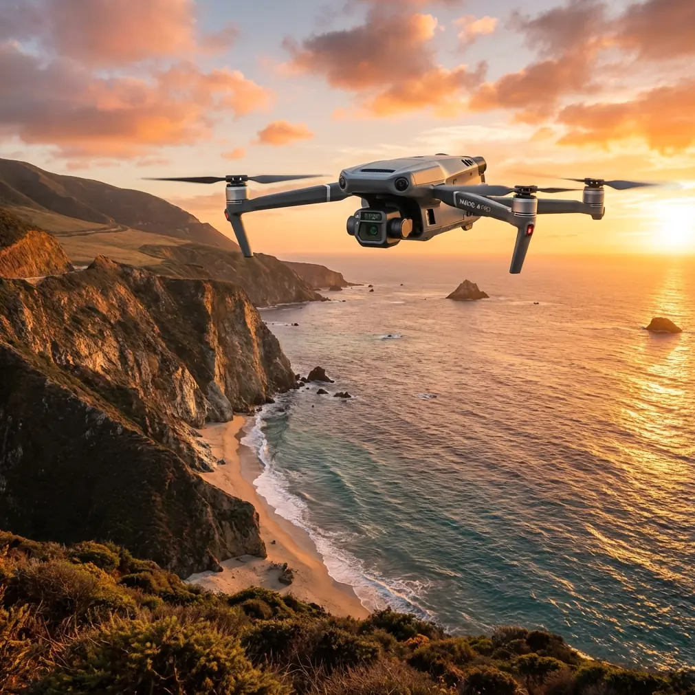
Mavic 3T Mapping Tips for Highways in Low Light: What Actually Works
META: A technical review of the DJI Mavic 3T for low-light highway mapping, including flight altitude guidance, thermal use, photogrammetry limits, O3 transmission, AES-256 security, and battery workflow.
By Dr. Lisa Wang, Specialist
Highway work punishes weak workflow. Long corridors, repetitive surfaces, moving vehicles, sodium lamps, patchy illumination, reflective paint, and narrow operating windows all expose the difference between a drone that is merely capable and one that can be deployed with discipline. That is where the Mavic 3T becomes interesting.
Not because it is a pure survey platform. It is not. And not because thermal replaces standard photogrammetry. It does not. The value of the Mavic 3T in low-light highway mapping comes from how its sensing package, transmission reliability, and field efficiency fit a very specific job: collecting usable corridor intelligence when visible-light conditions are slipping, while keeping the operation compact and repeatable.
If your brief is “map the highway after dusk” or “document pavement conditions before sunrise traffic peaks,” the Mavic 3T can do useful work. But only if you understand where it shines and where it needs support from good survey practice.
The first reality: low-light highway mapping is rarely one mission
A lot of teams ask whether the Mavic 3T can map a highway in low light as if that were one simple output. In practice, there are usually two separate deliverables hiding inside that question.
The first is geospatial mapping: orthomosaics, corridor models, asset location, lane geometry, drainage observations, shoulder encroachment, work-zone documentation. That is classic photogrammetry territory, and it still depends heavily on visible-light image quality, overlap, and control.
The second is condition intelligence: heat anomalies, recently patched areas that are cooling differently, drainage retention patterns after sunset, utility access points with unusual thermal contrast, vehicles or equipment that need to be separated from the static scene during planning review. This is where thermal signature data becomes operationally useful.
The Mavic 3T sits between those two worlds. It is not trying to be a dedicated large-format corridor mapping aircraft. It is a compact multi-sensor tool that can support both interpretation and documentation, especially when daylight is limited.
That distinction matters because it changes how you plan altitude, overlap, control, and deliverables.
Why the Mavic 3T is relevant to highways after dusk
The Mavic 3T’s practical advantage is sensor diversity in a small airframe. For corridor crews working under traffic-management constraints, that means one launch setup can collect thermal context and visible imagery during the same site window. On a highway project, that saves time and reduces resets.
For low-light work, the thermal camera is not there to create a traditional photogrammetric base map. Its real value is to reveal contrast where visible-light imagery struggles. Fresh asphalt, concrete joints, bridge deck transitions, ponding zones, electrical cabinets near roadside infrastructure, and recently active maintenance areas can stand out thermally even when the scene looks flat to the eye.
That has direct operational significance. A thermal pass can help you decide where the higher-priority visible capture should occur before battery time is wasted on a featureless corridor. It also gives project stakeholders a second layer of evidence when night conditions make standard imagery ambiguous.
The visible camera remains central if your end product is an orthomosaic or measurement-grade corridor model. Even in low light, you are still solving a geometry problem. The Mavic 3T can contribute to that, but you need to respect the limits of shutter speed, noise, and texture quality on repetitive highway surfaces.
Optimal flight altitude: start around 60 to 80 meters AGL for most highway segments
If I had to give one baseline altitude recommendation for low-light highway mapping with the Mavic 3T, it would be this:
Start in the 60 to 80 meter AGL range for standard corridor capture, and adjust only after you evaluate texture, headlight contamination, and your required ground sample detail.
That range is a sensible working band for several reasons.
At lower altitudes, around 40 to 50 meters, you can improve feature detail on pavement markings, cracks, joints, and shoulder transitions. But you pay for it with more flight lines, more turns, more battery cycling, and often more exposure to headlight flare from traffic. On a long highway segment, that can become inefficient fast.
At higher altitudes, around 90 to 120 meters, you cover more ground per pass. That sounds attractive until the corridor starts losing surface definition in low light. Lane paint, patch boundaries, and edge detail become less distinct, which weakens tie points for photogrammetry. You may still document the corridor visually, but your mapping confidence drops.
The 60 to 80 meter zone is usually the best compromise. It keeps enough surface texture in the frame for visible-light reconstruction while still giving practical corridor coverage. For interchanges, bridges, or areas with dense lighting variation, I often lean lower. For straighter rural highway sections with cleaner lighting conditions, pushing toward the upper part of that band can work well.
The key is not altitude in isolation. It is altitude paired with overlap, speed, and whether the goal is mapping or thermal interpretation.
Thermal signature is useful, but not in the way many teams expect
A common mistake is to assume thermal imagery will solve low-light mapping. It will not solve photogrammetry in the conventional sense. Thermal data has different texture behavior, lower spatial detail than the visible camera, and can be influenced by surface materials, retained heat, vehicle traffic, and recent weather.
Yet for highway work, thermal can answer questions that RGB cannot answer cleanly after dark.
For example:
- A bridge deck and its approach slabs may cool differently, making transition zones more obvious.
- Water retained near drainage structures can persist as a thermal anomaly after sunset.
- Recently patched pavement may show a different thermal signature than surrounding material.
- Utility boxes, lighting cabinets, and roadside assets may separate more clearly from the background.
That is why the Mavic 3T is best treated as a dual-evidence platform in this scenario. Use the visible sensor to build geometry where lighting allows. Use thermal to flag anomalies, support interpretation, and prioritize follow-up inspection.
When teams understand that split, they stop forcing the thermal feed into a role it was never meant to fill.
Photogrammetry in low light: you still need discipline
If your deliverable requires measurable output, the usual rules still apply. Good photogrammetry does not become optional just because the airframe carries a thermal sensor.
You need strong image overlap. You need stable flight speed. You need enough texture in the scene. And if the project has survey expectations, you need GCPs or another defensible control strategy.
This is where many low-light corridor jobs fail. Highway pavement is visually repetitive even in daylight. At night or pre-dawn, it becomes harder for software to find robust matching points across frames, especially on wide asphalt lanes with glare and limited contrast. Painted lines help, but headlights, reflective markers, and wet surfaces can degrade consistency.
Ground control points matter here because they help anchor the project when image matching is less forgiving. On a highway segment, I recommend placing GCPs where they are safely visible and not overwhelmed by artificial lighting or traffic reflections. Their operational significance is simple: they reduce drift in a long corridor and increase confidence that your mosaic or model has not subtly wandered over distance.
If the site allows it, split the job into manageable sections rather than attempting one oversized corridor block under marginal lighting. Smaller, controlled missions nearly always produce cleaner reconstruction.
O3 transmission changes the field experience more than spec sheets suggest
On paper, O3 transmission is one of those details that people glance at and move past. In highway work, especially near complex infrastructure, it matters a lot more than casual users realize.
Low-light missions create enough workload already. You are managing corridor geometry, lighting inconsistency, safe launch and recovery zones, battery timing, and the visual ambiguity that comes with night-adjacent operations. A stable transmission link reduces cognitive load. It keeps framing decisions more reliable and helps the crew verify what the aircraft is actually seeing at the edge of the mission.
Operationally, this matters in highway cuttings, near overpasses, around signage, and in mixed urban roadside environments where line quality can degrade. The pilot is less likely to second-guess capture quality if the video feed remains consistent. For a mapping crew, that means fewer unnecessary re-flights and better confidence that thermal anomalies or visible defects were truly recorded.
For teams exploring regulated BVLOS frameworks in commercial infrastructure environments, link reliability is an even bigger conversation, though approvals, local rules, and risk controls remain the deciding factors. The Mavic 3T does not eliminate that regulatory burden. What it does offer is a transmission architecture that supports disciplined operations within whatever legal framework applies.
AES-256 is not just a checkbox for infrastructure clients
The mention of AES-256 tends to sound abstract until you are working with transportation authorities, private concession operators, or engineering firms handling sensitive infrastructure records.
Highway mapping data can reveal more than pavement condition. It can show access patterns, maintenance staging, utility-adjacent layouts, and operational details tied to critical transport assets. Secure handling of flight data and communication is not a luxury in that environment.
That is why AES-256 has real operational significance. It helps support client expectations around protected workflows and data stewardship. For commercial operators bidding on corridor documentation or infrastructure inspection support, security features can influence whether the platform fits the client’s governance requirements at all.
It will not fix poor internal process. You still need disciplined file handling, device control, and project segregation. But it is a meaningful technical piece of a professional workflow.
Battery rhythm matters on corridor work, and hot-swap habits save more time than extra speed
Long highway segments are battery-management jobs disguised as flight jobs. That is one reason compact deployment matters so much with the Mavic 3T.
Teams often obsess over route speed and ignore turnaround time. In practice, your corridor productivity depends heavily on how quickly the crew can land, swap, relaunch, and maintain continuity between sections. A clean hot-swap batteries routine reduces idle time, keeps mission windows tight, and makes it easier to capture adjacent segments under similar thermal and lighting conditions.
That consistency is valuable. Thermal readings can drift in interpretive meaning as surfaces cool. Visible-light conditions can also change quickly around dawn or as roadside illumination cycles. Fast battery changes help preserve comparability from one segment to the next.
For low-light highway work, I would rather have a crew with disciplined battery rotation and segmented mission planning than one trying to stretch every sortie to the absolute limit.
A field-tested workflow that fits the Mavic 3T
For most civilian highway jobs in low light, this sequence is practical:
- Pre-plan corridor segments instead of one long uninterrupted mission.
- Set initial altitude at 60 to 80 meters AGL for the visible mapping pass.
- Use strong overlap because repetitive pavement is unforgiving.
- Deploy GCPs where measurement integrity matters.
- Run a thermal review pass to identify anomalies and prioritize targeted recapture.
- Lower altitude selectively over bridges, drainage issues, patch zones, or complex merge areas.
- Keep battery transitions tight so environmental conditions remain comparable.
- Review the live link carefully during capture; O3 reliability helps, but field verification still matters.
- Secure project data properly, particularly for transport infrastructure clients.
That workflow plays to the Mavic 3T’s strengths instead of pretending it is a one-aircraft answer to every survey problem.
Where the Mavic 3T fits best, and where it does not
For low-light highway mapping, the Mavic 3T is strongest when the mission blends documentation, anomaly detection, and targeted geospatial capture. It is especially effective for engineering support, maintenance planning, drainage review, pavement change observation, and pre-dawn or post-sunset site intelligence.
It is less ideal if your sole objective is the highest-efficiency, large-scale corridor photogrammetry under strict survey deliverables. In that case, a dedicated mapping platform may be more appropriate. The Mavic 3T can still contribute, but you should not confuse versatility with specialization.
That balance is the real story of this aircraft. Its value is not that it erases tradeoffs. Its value is that it lets one field team gather multiple layers of operationally useful information when light is poor and time on site is limited.
If you are planning a highway workflow and want a second opinion on altitude, control layout, or thermal capture sequencing, you can send your corridor specs here: message our flight planning desk.
The Mavic 3T earns its place on low-light highway work when operators stop asking it to be magic and start using it like a disciplined infrastructure tool. Fly too high, and you lose the texture that makes mapping reliable. Fly too low, and you burn time covering repetitive ground. Ignore thermal, and you miss one of the aircraft’s strongest advantages. Ignore control, and your map becomes a picture with weak positional confidence.
For most teams, the sweet spot is not mysterious. Start around 60 to 80 meters AGL. Use photogrammetry where visible detail supports it. Use thermal signature data to find what the eye misses. Build the mission around segment control, battery rhythm, and secure data handling. That is how the Mavic 3T becomes genuinely useful on highway projects after the light fades.
Ready for your own Mavic 3T? Contact our team for expert consultation.